
Start/Lamar, CO
End/Lubbock, TX
567 miles
Lunch in Dalhart (Toxic Hell and Pizza The Hut)
spc-mesoscale-discussion-777 e NM and TX PH/12:48 p.m.
spc-mesoscale-discussion-779 sw TX and se NM/2:40 p.m.
spc-mesoscale-discussion-783 sw TX/7:00 p.m.
Our group got out of Lamar and made our way south towards some good air. SPC was favoring southwest TX again, roughly from Lubbock south to the Rio Grande near Sanderson, with a 5 percent tornado risk down that way. SPC upgraded to “enhanced slight risk” near and south of I-20 for their 1630Z and 20Z outlooks. I forget exactly why, but I was not especially impressed, or sold, on that area. Apparently some overnight activity had “hosed” much of central TX and vicinity, though sw TX and se NM still had good air. SPC liked the instability and wind profiles south of Lubbock, especially in the Midland area. I liked the NM/TX border area from about Adrian to Plains, TX. It was definitely not looking like a fabulous supercell and tornado day, but it looked like a fun chase day with severe storms given the instability.
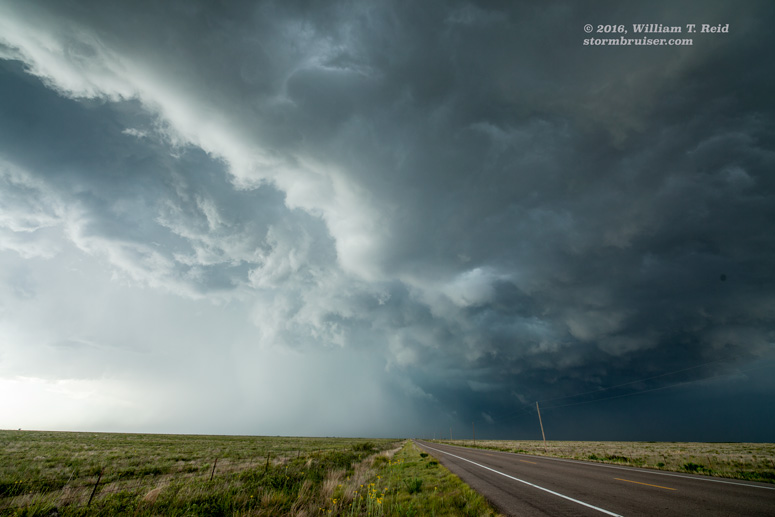
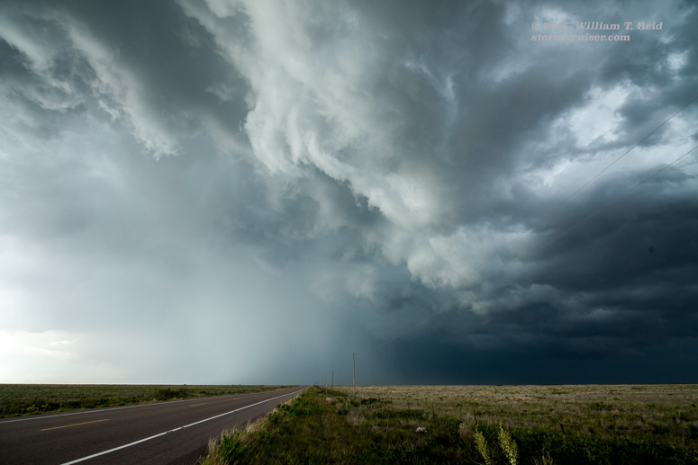
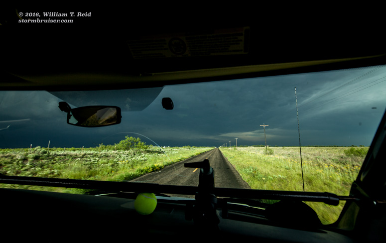
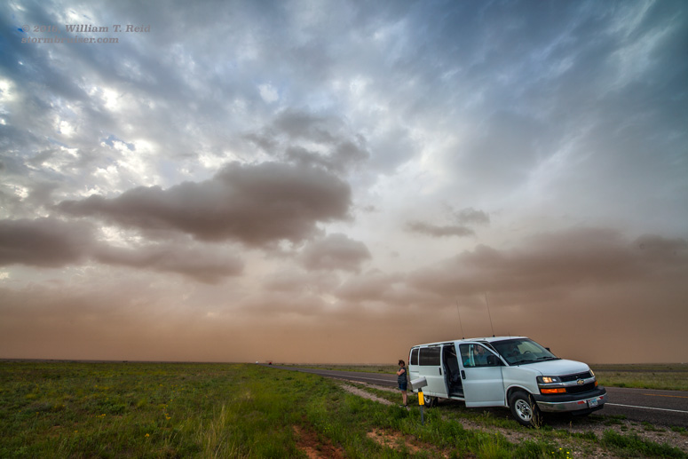
We made our way down the NM/TX border area to Lingo (west of Morton, TX) and south of there a little. We were keeping our eyes on new development to our SSW and also to our N. I finally decided to go back north to the one near Lingo, NM — no more than 20 miles up the highway. This nasty hailstorm looked good for a little while. It may have been a supercell, but it was “HP” and it “mushed out” rather quickly as it drifted towards Texas.
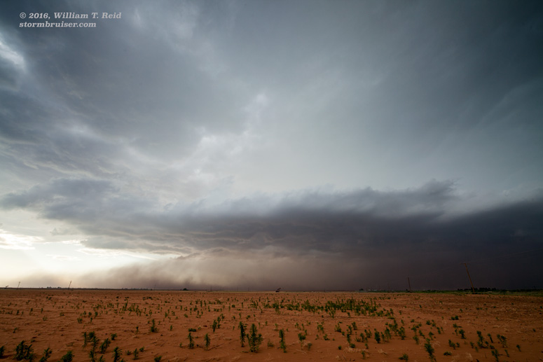
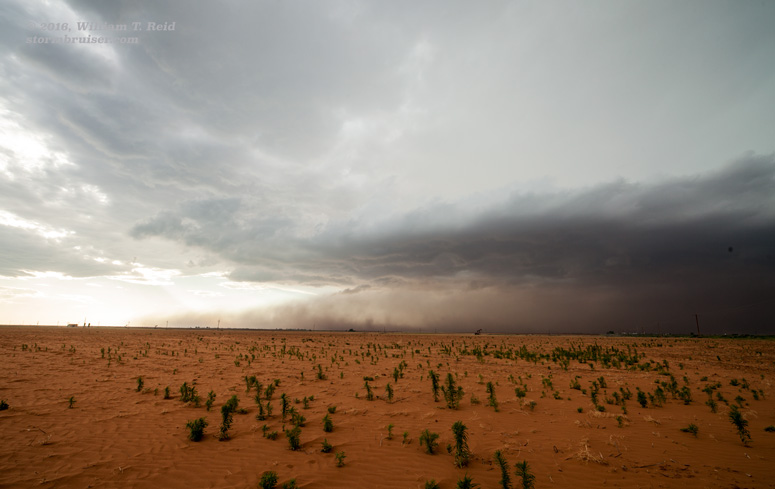
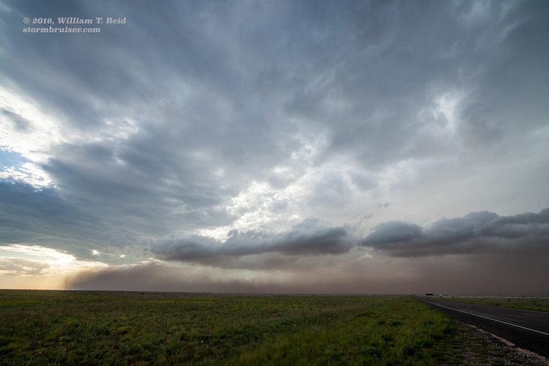
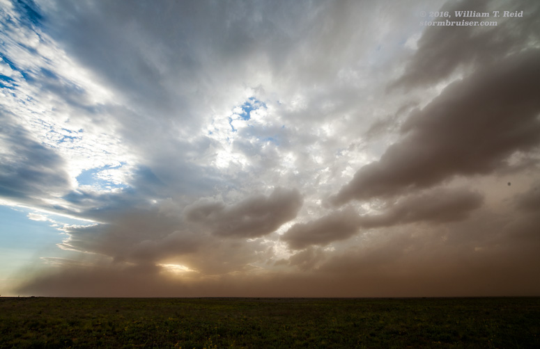
At Morton we went south and watched a dusty “haboob-like” wall of dust come at us from the north. This provided for some interesting photography opportunities and for some scratchy eyes, but the cold air was under-cutting the strong updrafts and there was little left to chase as sunset approached.
So, the chase day was somewhat of a ho-hummer overall. The area that SPC highlighted to our south was a big bust — their mesoscale discussion at 7 p.m. had a sad story to tell:
SUMMARY...SEVERE THUNDERSTORM WATCH IS CURRENTLY VOID OF ANY
   THUNDERSTORMS SAVE FOR A LONE CELL NEAR THE RIO GRANDE. ALTHOUGH A
   CONDITIONAL THREAT OF HAIL AND WIND EXISTS...THE WATCH MIGHT BE
   CANCELED EARLY IF STORMS DO NOT MATERIALIZE.

   DISCUSSION...00Z MAF SOUNDING SHOWS A SUBSTANTIAL CAPPING INVERSION
   WITH A RATHER JUMBLED LOW TO MIDLEVEL WIND PROFILE. EARLIER...A CELL
   EXISTED NEAR WINK TX BUT IT DID NOT LAST VERY LONG. ANOTHER LONE
   CELL CURRENTLY EXISTS ALONG THE BREWSTER COUNTY/MEXICO LINE BUT WILL
   CONTINUE INTO MEXICO.

Leave a Reply
You must be logged in to post a comment.