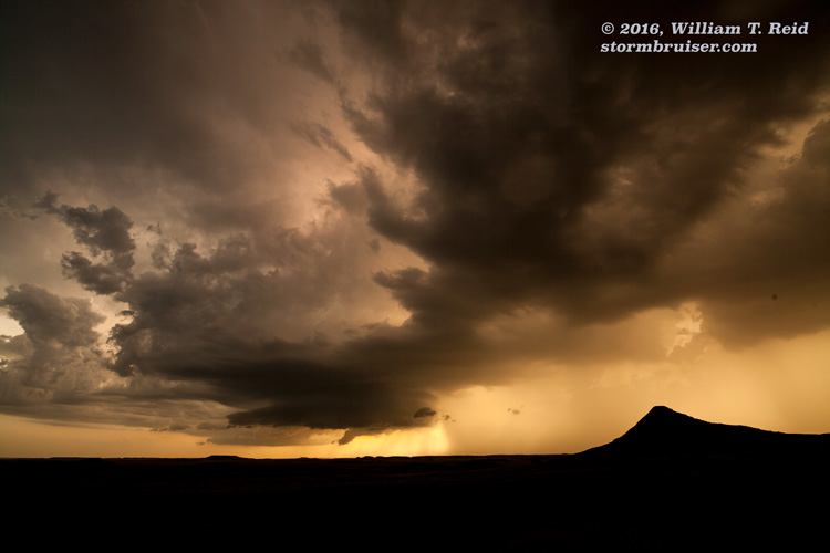
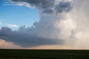
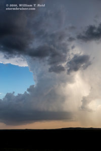
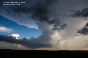
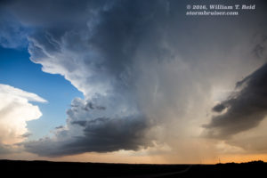
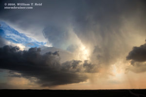
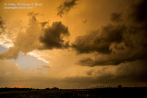
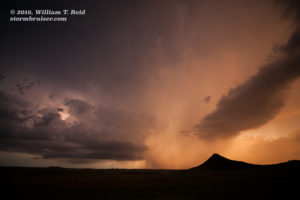
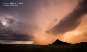
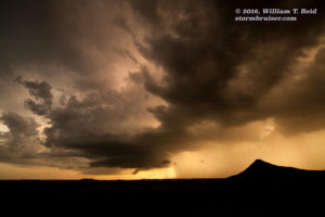
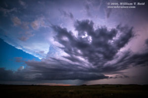
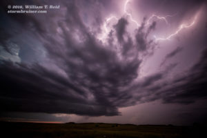
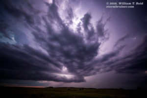
Flasher is a tiny community southwest of Bismarck and Mandan, in south-central North Dakota. We were treated to a very pretty storm here on this evening. The day before was a bust in the western Dakotas — here are the particulars:
June 15 Start/Belle Fourche, SD; end/Belfield, ND; 262 miles; lunch in Buffalo, SD (No. 3 Saloon)
June 16 Start/Belfield, ND; end/Selby, SD; 293 miles; lunch in New Salem (Sunset Cafe)
On the 15th, the upper ridge over the central U.S. was building a bit. Severe weather was very unlikely on the Plains, except perhaps on the dry line (W TX) in the hot and humid air where instability was high but shear was poor. Since we were starting from Belle Fourche in western SD, I had my eye on eastern Montana. But, it looked like storm activity there would wait until after sunset. That is what occurred, and all we could do was relax and visit some out-of-the-way places.
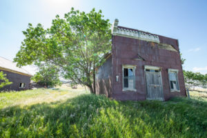
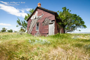
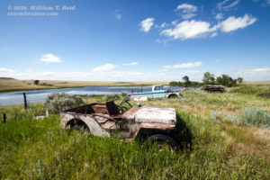
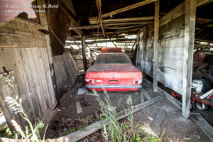
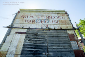
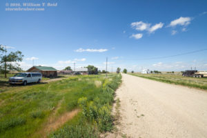
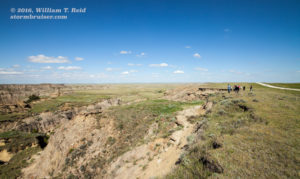
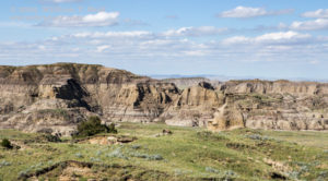
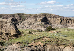
We hung out in Camp Crook, west of Buffalo, and Harding, SD, southwest of Buffalo. The images below are from Harding, and the road east from Harding to U.S. 85.
Note the flat cumulus clouds! Towards late afternoon we headed up to Belfield, on I-94, and called it a day. Hailstorms developed near Jordan, MT, after about 10 p.m.
——————————
Following our down day, prospects for a nice daytime (or late-day) storm in the Dakotas looked good again on the 16th.
A weak cold front was pushing into western ND, and forced us east along I-94 to New Salem for lunch, and then to Bismarck. Instability and shear were more than enough for supercell structures, and SPC splattered a slight risk over central ND. The necessary ingredients for tornadoes were not that good, though. The Bismarck area looked like the place to be, and we killed some time beneath the hot sun at the Fort Abraham Lincoln State Park, south of town. Winds were from the southeast and plenty humid, but the cap was strong. Finally, some storm towers started to go up after 6 p.m., I think, not too far to our west. We went over to Mandan, and then way up to Washburn, because new towers were developing to our N and NNE. As we watched a good updraft northeast of Washburn, there was another one west of town, while others were beckoning southwest of Mandan, more than an hour away. I was not certain which one would be “the one.” Tornado parameters appeared to be quite a bit better just to the northeast, where cloud bases would be quite low. The cloud towers in that direction were not particularly impressive, though. We went back and forth along U.S. 83 near Washburn as I went crazy trying to determine which direction we should be headed.
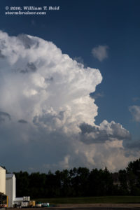
Radar was not looking good for these “storms” north of I-94, while the one southwest of Mandan started looking better. We had better mosey in that direction just in case this trend continues. As we neared I-94 and Bismarck on U.S. 83, it was clear that we needed to get to the “Flasher” storm, which was perhaps 40 miles southwest of Mandan. It wasn’t moving much, and it took us a good hour before we were in front of it along Highway 6 (south of New Anthony). It looked quite impressive upon approach, and we stopped a few miles west of the 21/6 interchange in southern Morton County.
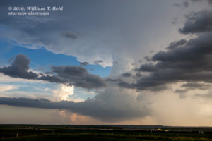
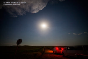
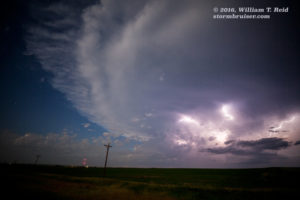
We were in good position to view the base, but it was still about 8 miles away, and rain and hail were down the road to the west. The storm failed to approach us, and instead it drifted to the SE or SSE. We went back east to Highway 6 and dropped south, east of the storm again, for the pretty sunset light shots. A little later, east of Porcupine, perhaps, we stopped for a look at structure and nighttime lightning. And later still, on the drive to Selby for the night, we stopped near McLaughlin, SD, to watch some frequent lightning in the storm, which continued to our north.

Leave a Reply
You must be logged in to post a comment.