
Start/Holyoke, CO
End/Elkhart, KS
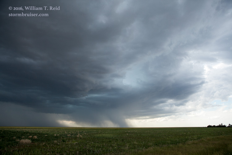
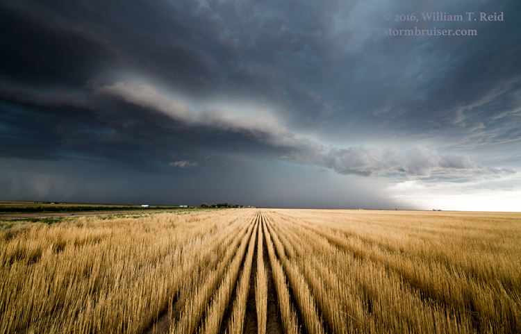
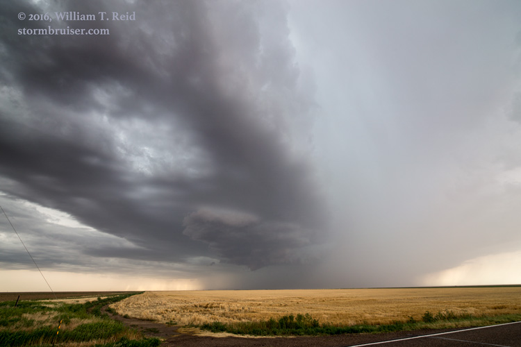
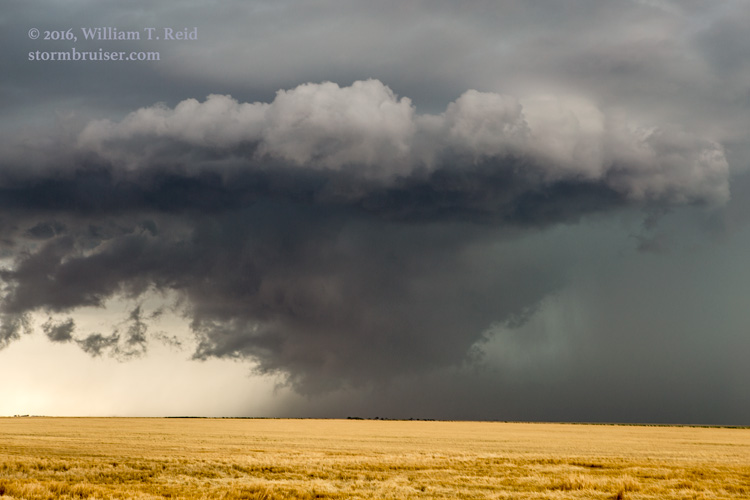
Severe weather parameters were just so-so today, with marginal wind shear and pretty good dew points over the plains of Eastern Colorado. It appeared that the southeastern corner of the state had the best prospects, and SPC agreed by adding a slight risk over Baca County and vicinity in their midday outlook. We made the 4-hour drive south from Holyoke via U.S. 385 and found some storms developing northwest of Springfield. These were fairly high-based and junky, and soon they were dumping quite a bit of precipitation.
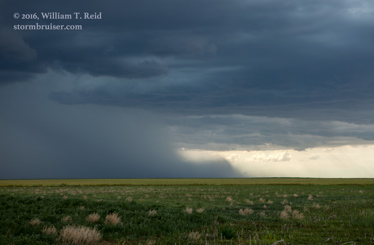
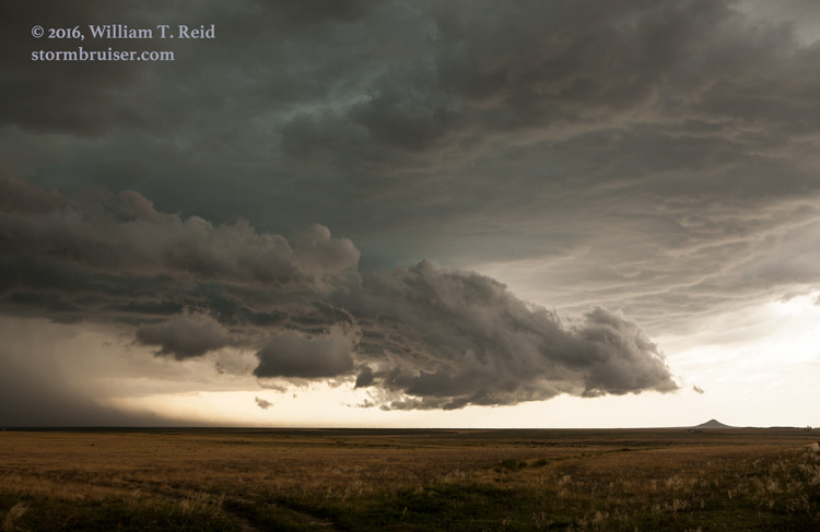
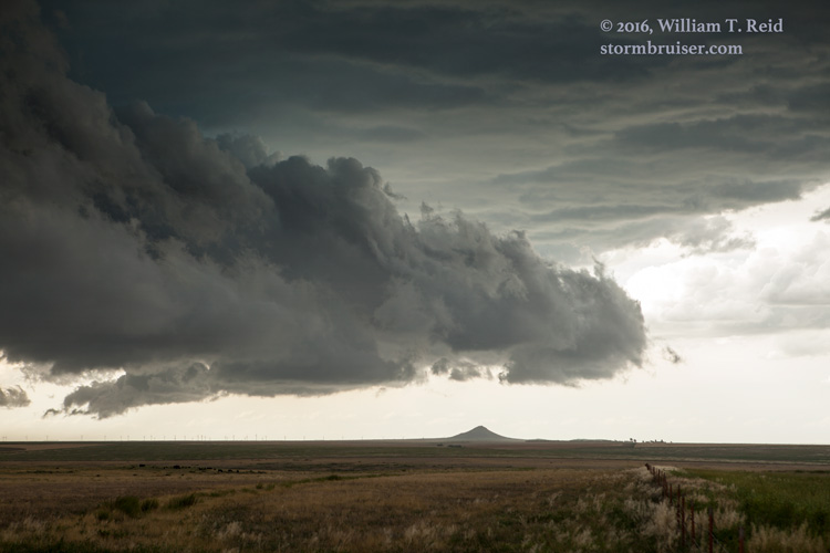
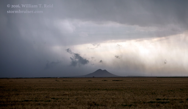
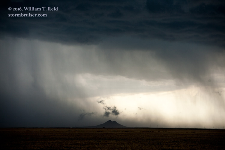
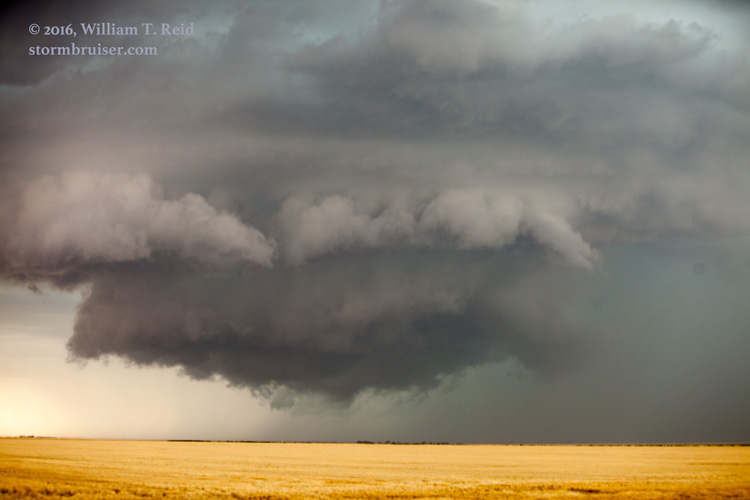
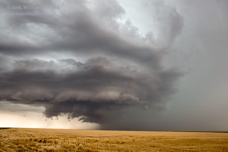
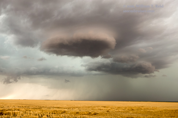
The activity moved east and we jumped on 116 eastbound to Two Buttes. The heavy precipitation was causing cool, moist outflow and soon some lowerings were practically scraping the ground near the Two Buttes peaks.
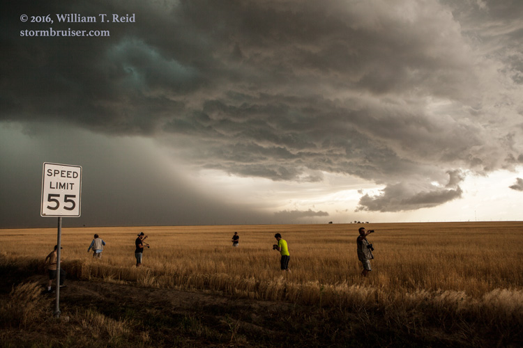
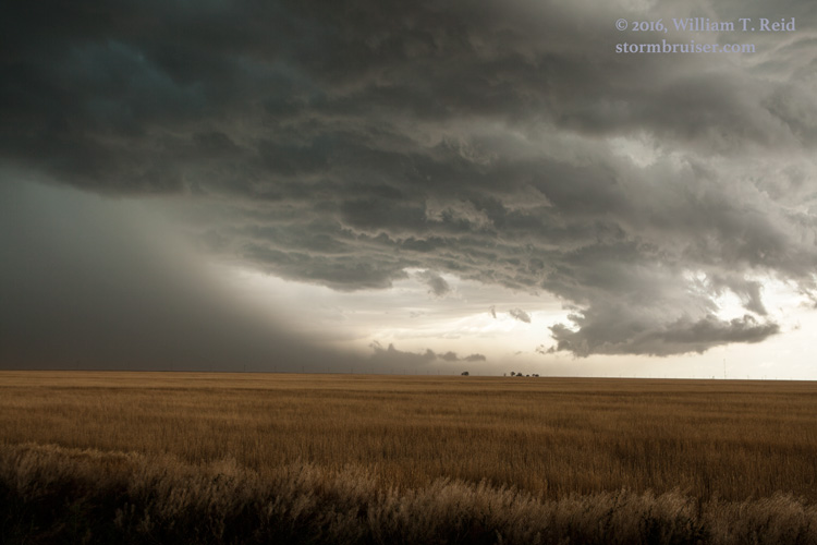
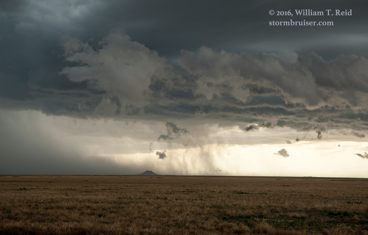
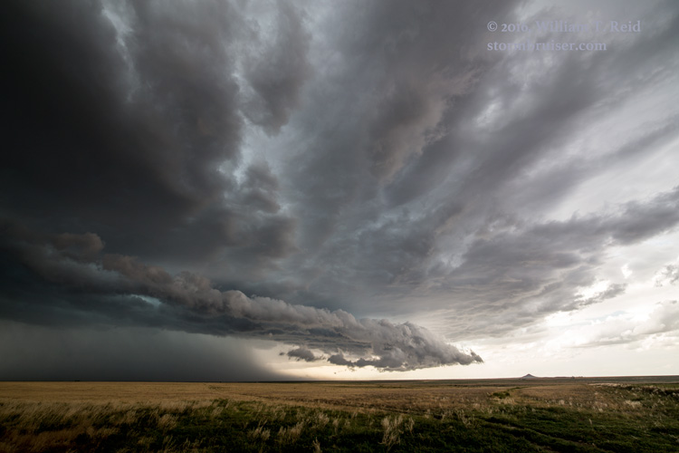
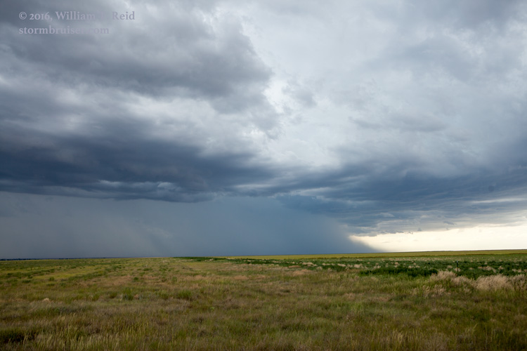
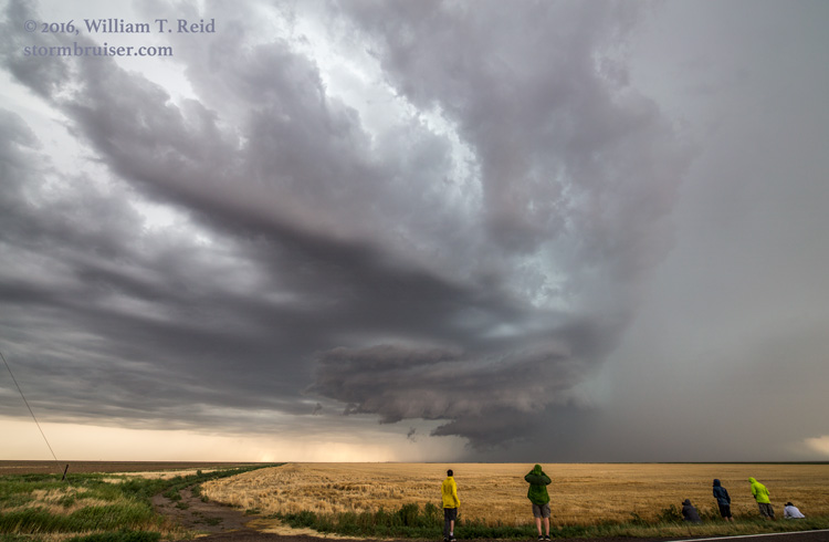
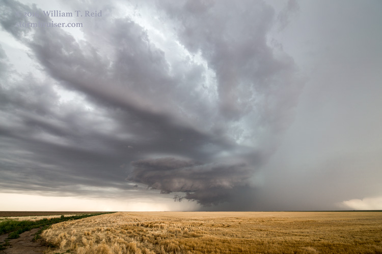
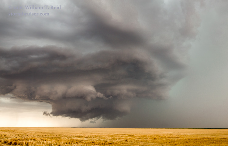
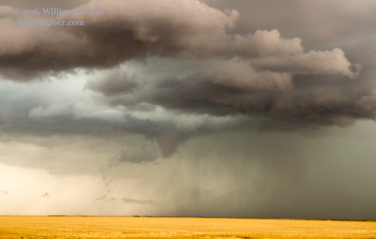
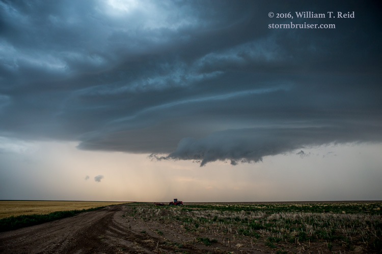
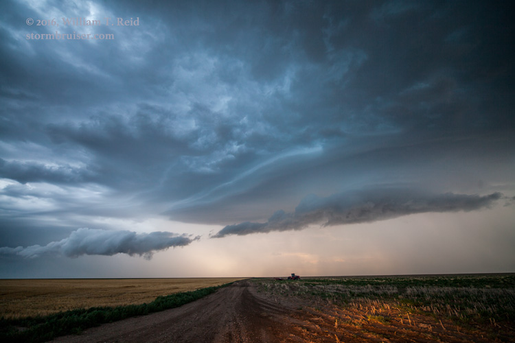
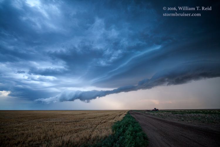
Farther east we went, to a tiny nothing place called “Lycan” and then north a couple of miles. From here we observed some decent supercell structure to the west! This looked great for about ten minutes, as a low wall cloud and maybe a funnel provided some hope for a miracle tornado. But that suspense did not last very long, and the cell was disorganized before it could reach our north-south road (route 89). The first image below belongs in the middle of the pack, if you care about time continuity!
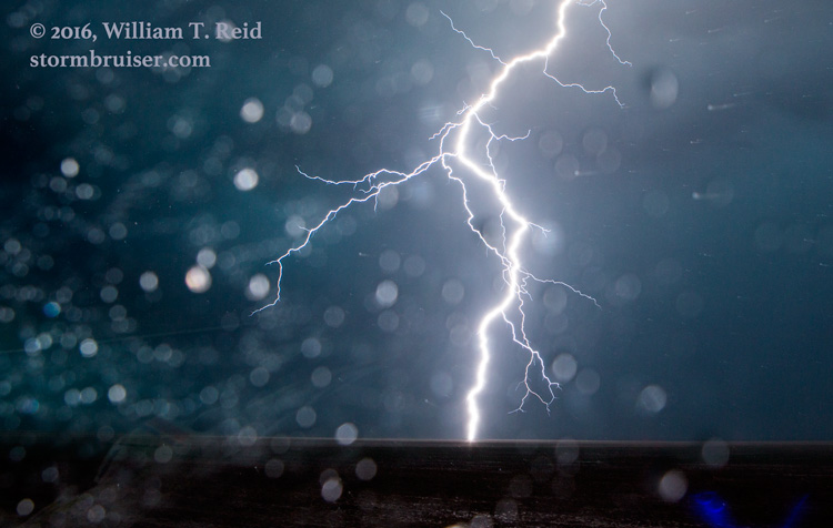
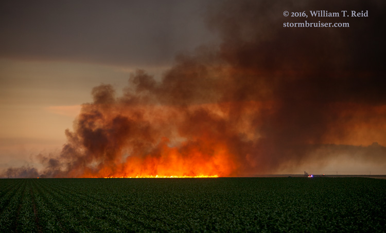
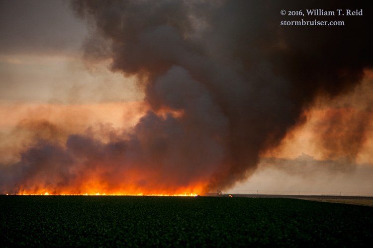
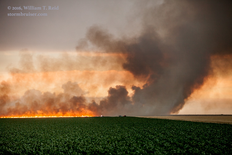
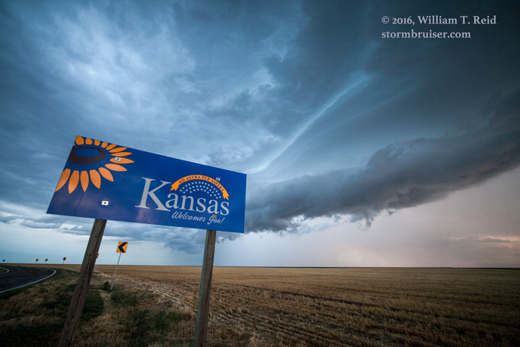
Lightning from our storm ignited some vegetation across the border in Kansas, so we had to check that out. Fire crews had it under control after about 15 minutes. Later, near the state line WSW of Johnson City, we closed out the chase with some laminar banding and a lucky CG shot through the window.

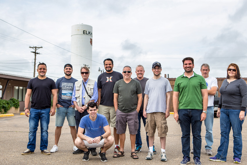
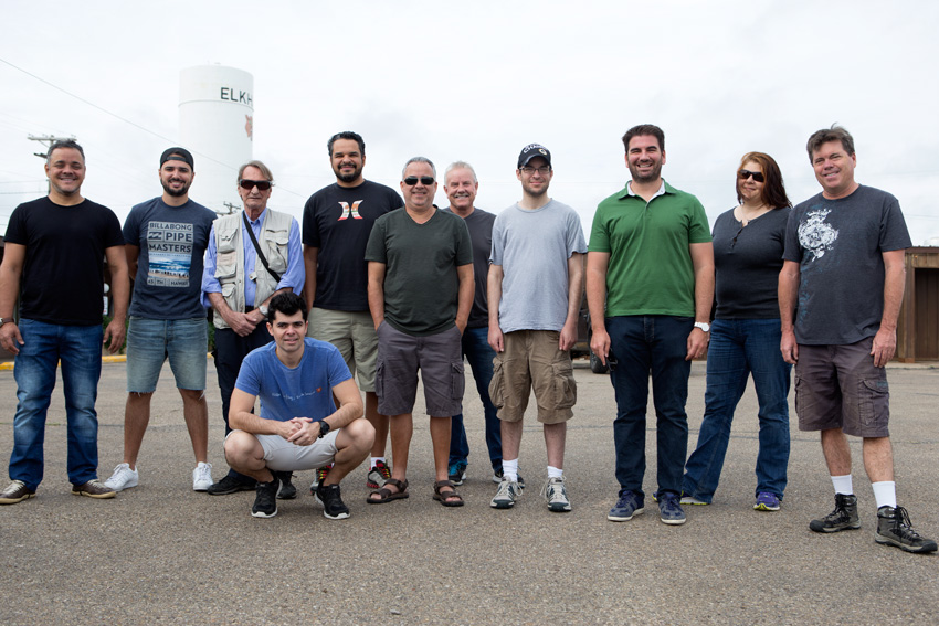
Here is our Tour 7 group, posing at the Elkhart, KS, motel before I headed home!
Leave a Reply
You must be logged in to post a comment.