
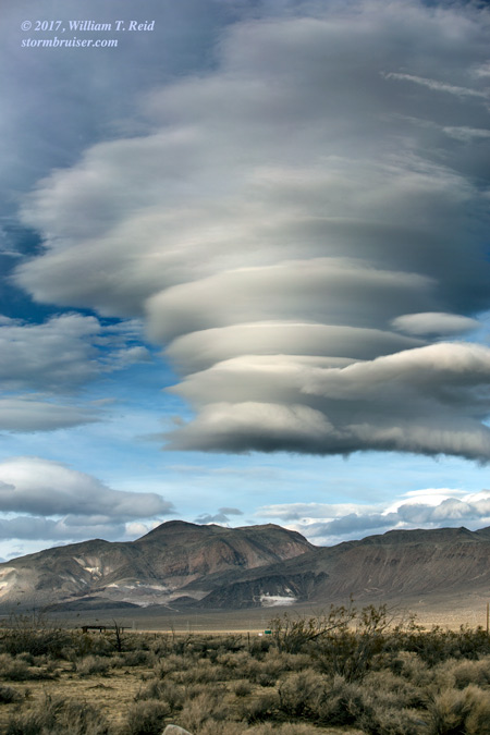
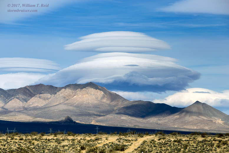
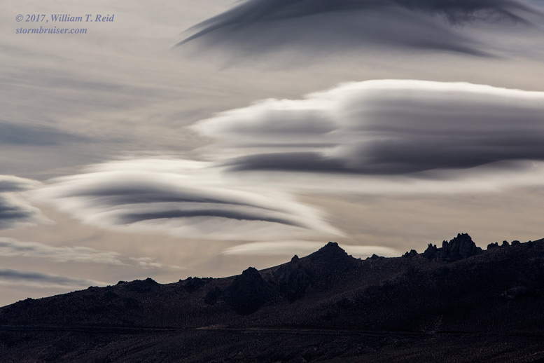
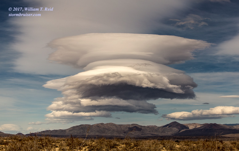
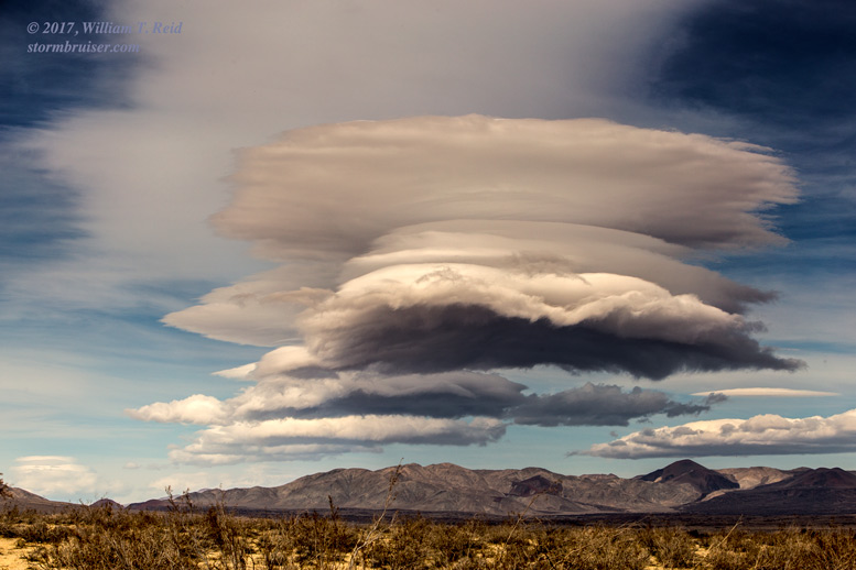
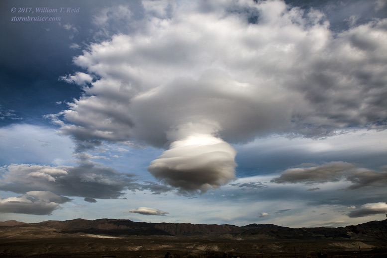
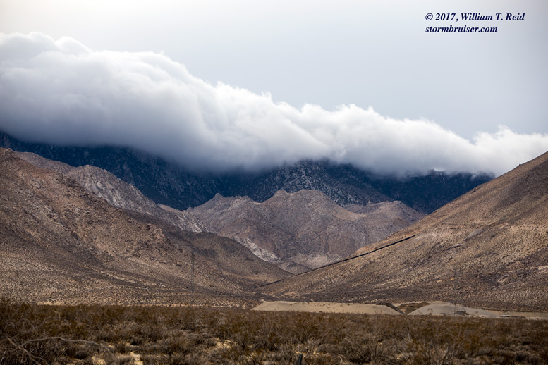
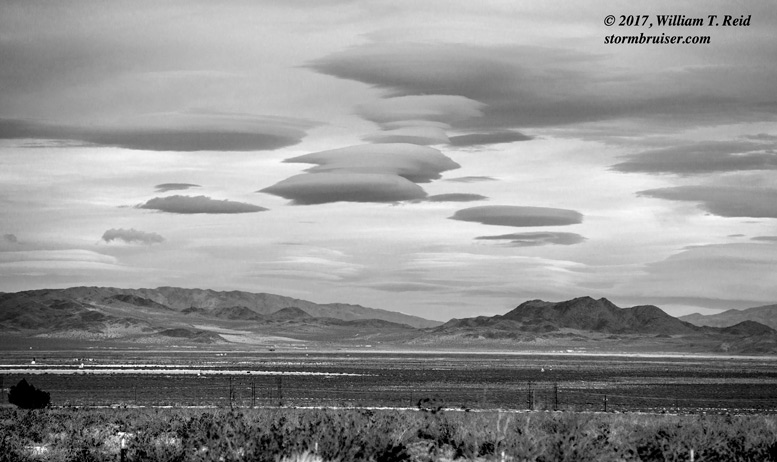
I try to get out to the desert a couple of times every winter for some photography, especially when westerly flow at mid-levels of the troposphere is fast and mountain wave cloud development looks likely. This was the case on January 10. The flow at 700 mb was forecast to be in excess of 50 knots over the southern Sierra Nevada on this afternoon, in advance of a storm system that was over the Eastern Pacific and approaching California. One of the keys to forecasting these clouds is that the atmosphere must be stable at low-to-mid levels. The wave clouds, i.e., the “standing lenticular altocumulus” clouds, get a laminar look because the moist air that creates them is condensing in a stable layer of air. The “wave” remains in the same place, relatively speaking, so the upward-moving air which lifts and cools the moist layer also gets stuck in the same place.
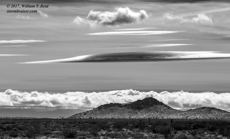
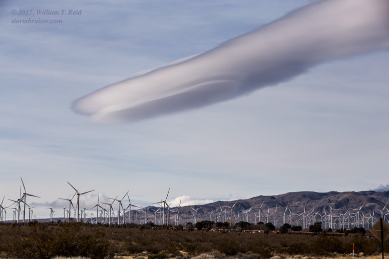
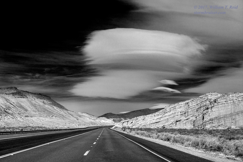
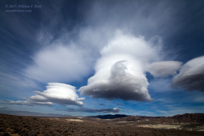
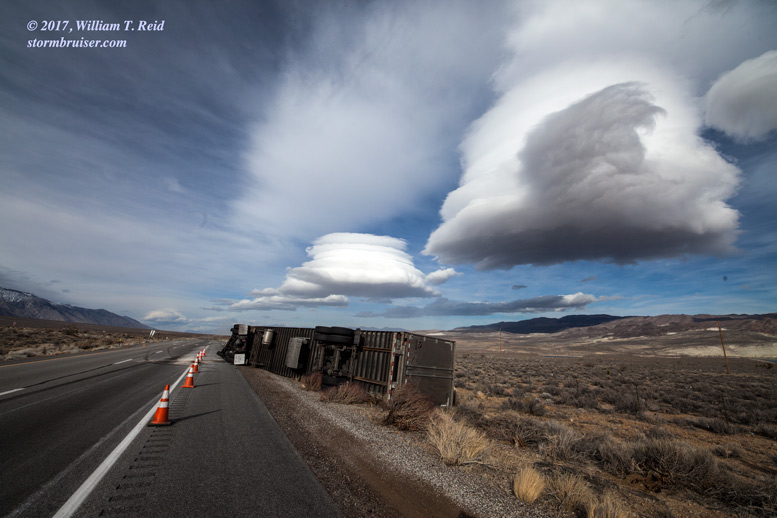
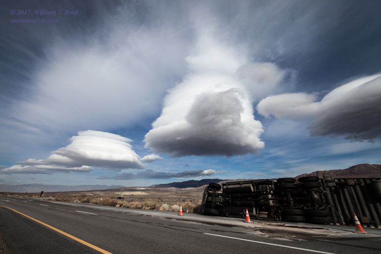
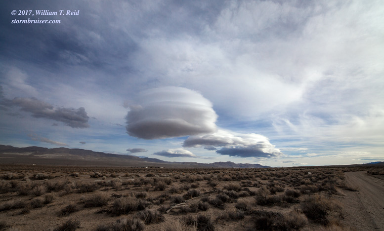
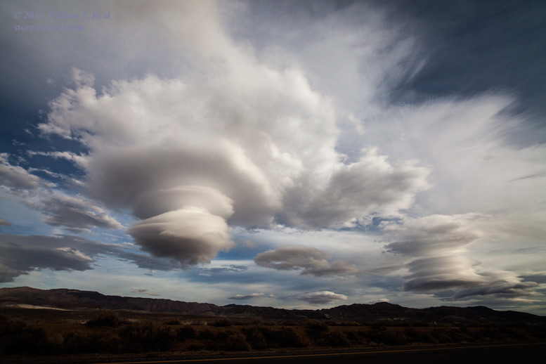
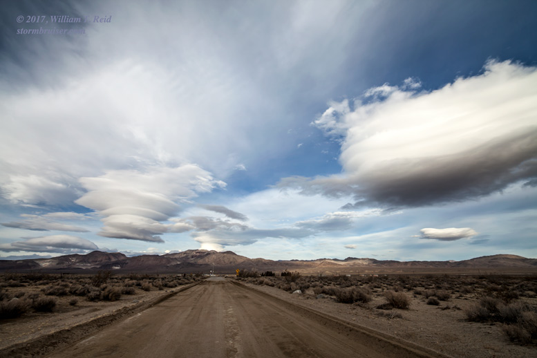
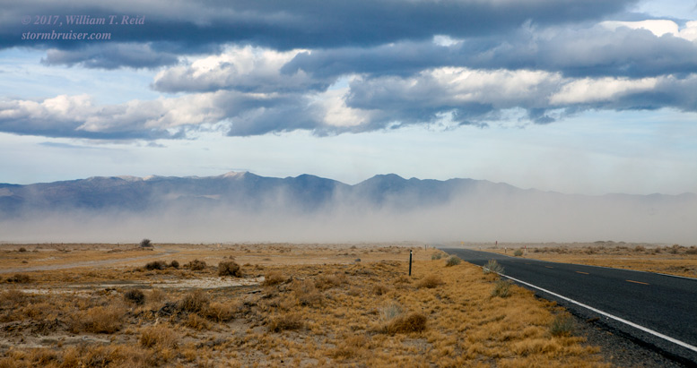
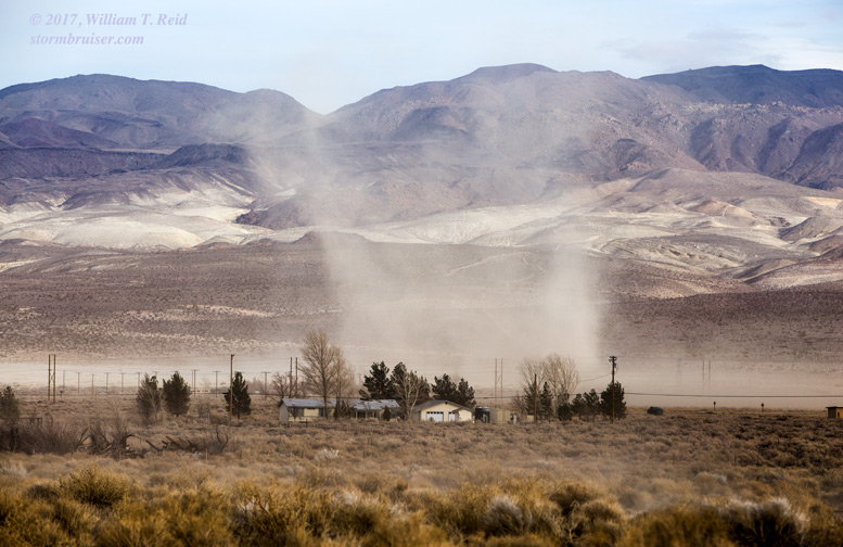
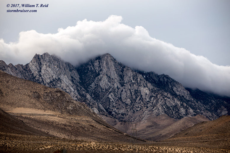
Anyway, enough meteorology! I got out of L.A. and was motoring north out of Mojave by about noon. Soon, well to my north, I could see the sides of some large laminar clouds! Yes! There were even some smaller and somewhat photogenic lenticulars nearby. I got some cool shots on approach, near Inyokern and Pearsonville. By the time I reached Haiwee Reservoir, along 395, a large lenticular was just to my northeast. West winds were strong here, maybe 25-35 mph, and a big rig was on its side. I guess that explains why there was a long line of trucks stopped and waiting at Pearsonville!
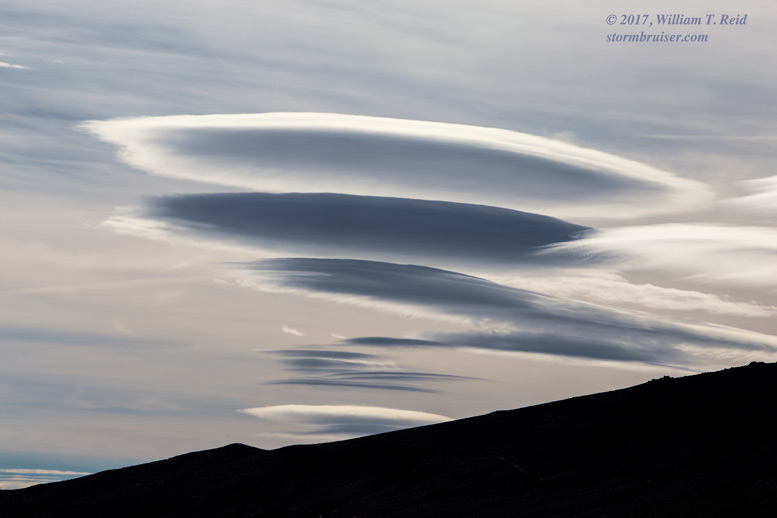
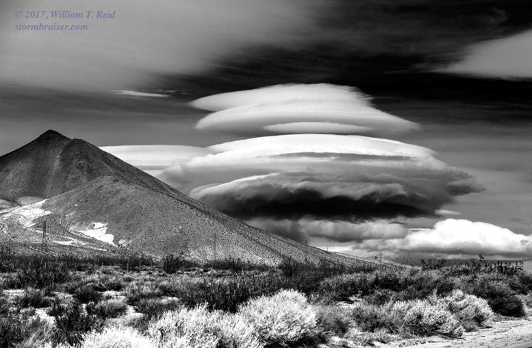
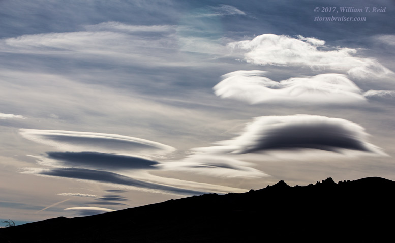
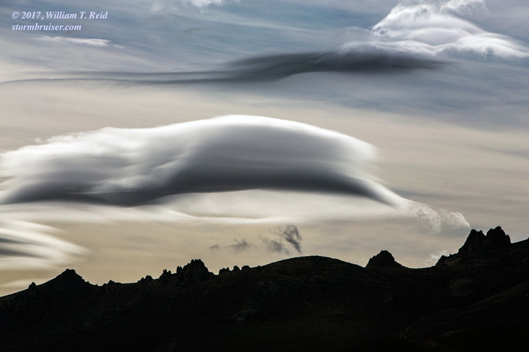
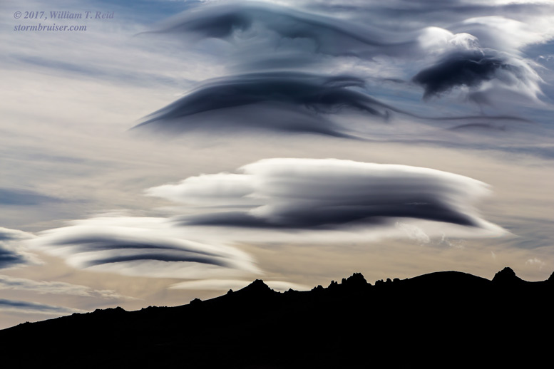
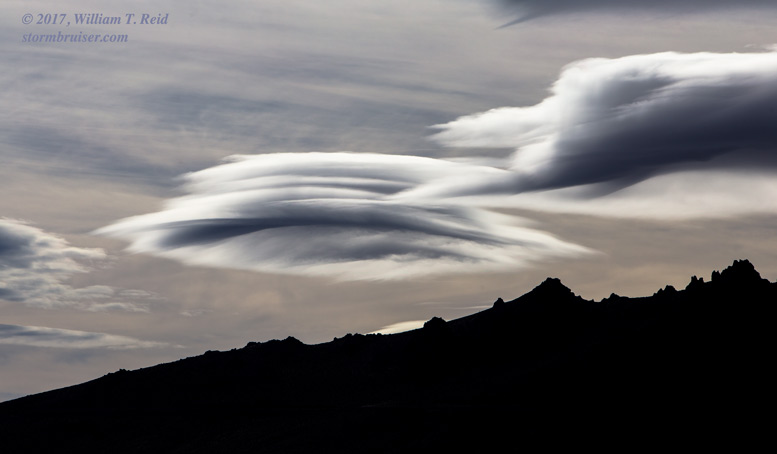
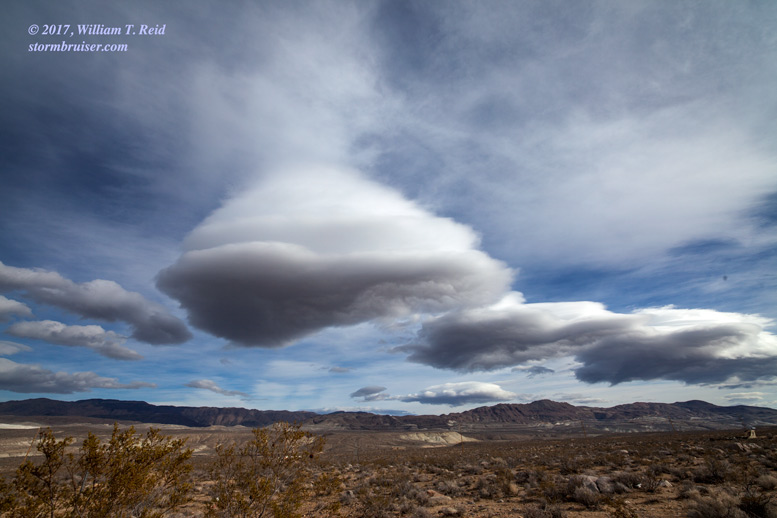
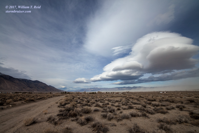
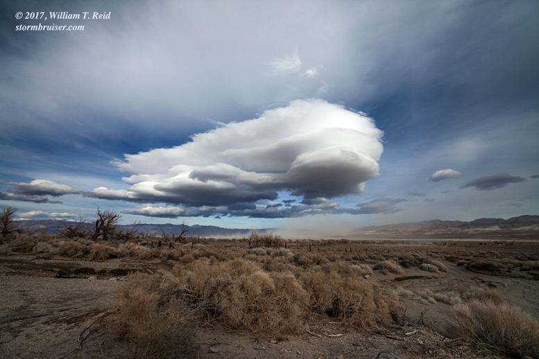
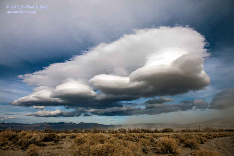
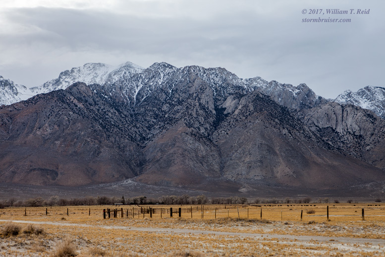
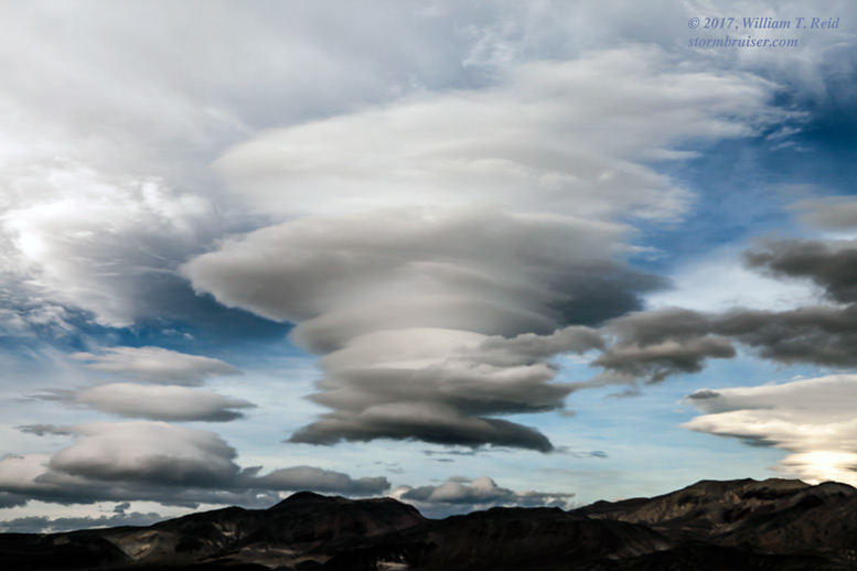
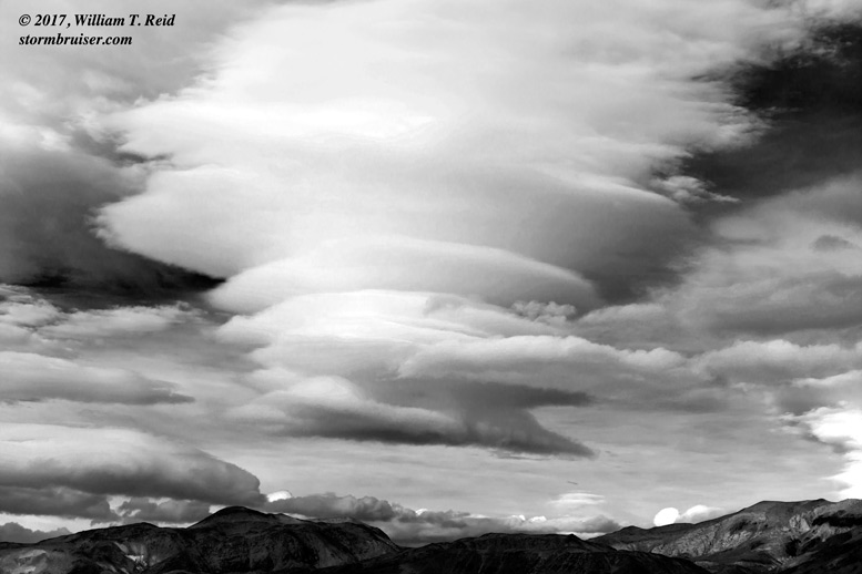
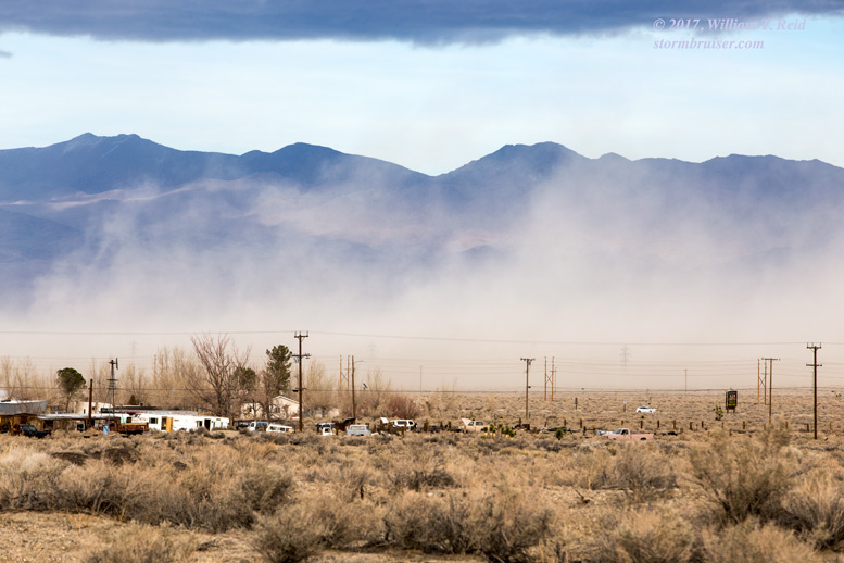
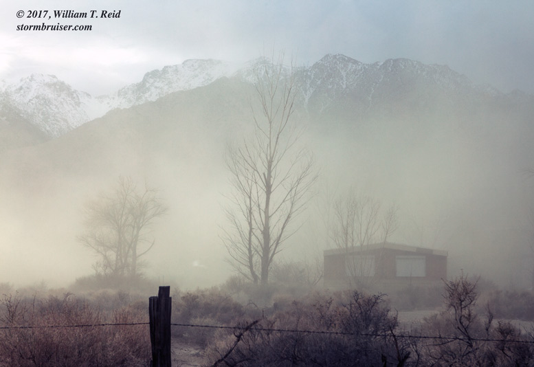
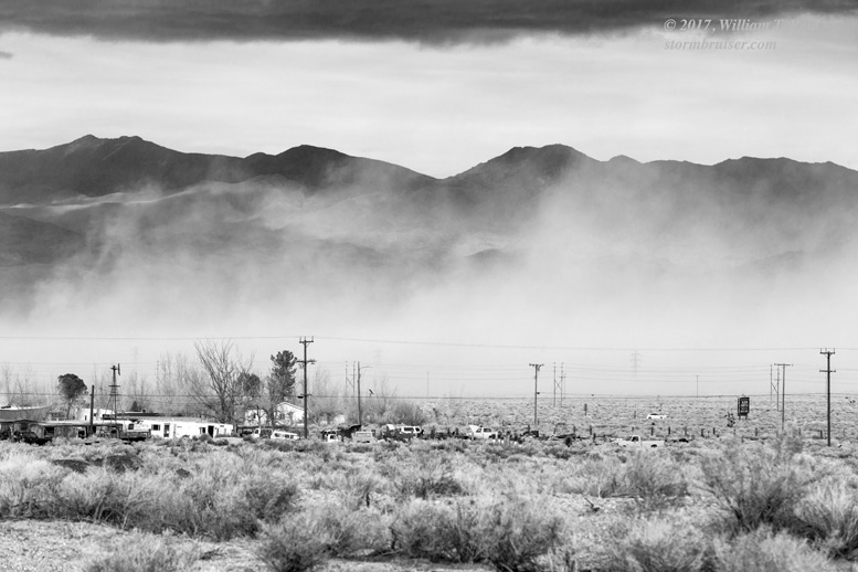
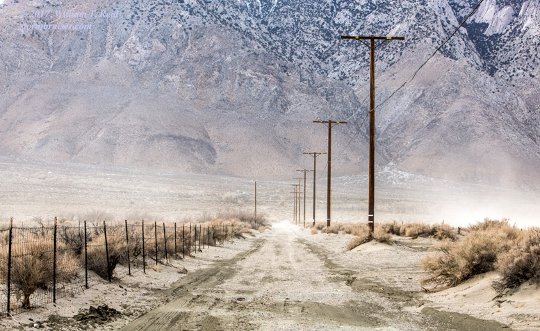
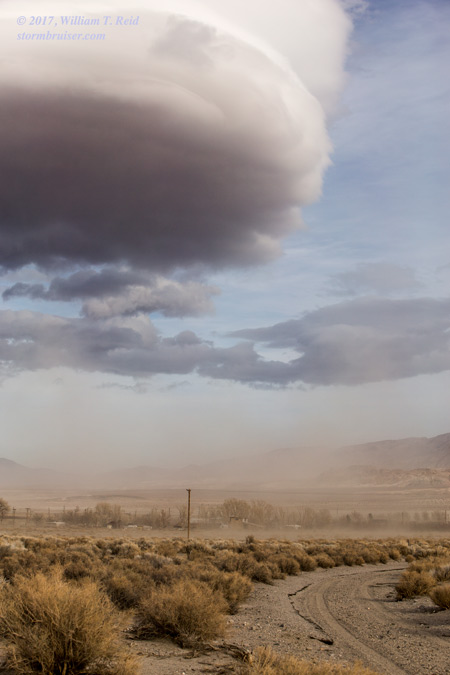
I made my way up to Olancha for a better look at the lined-up wave clouds that were above Owens Lake and the Inyo Mountains. The wide angle 15mm lens was very handy here. Wind and dust blew through Olancha and made for some interesting scenes. The lenticulars to my east were multi-stacked and were definitely among the best I have ever chased, or ever seen!
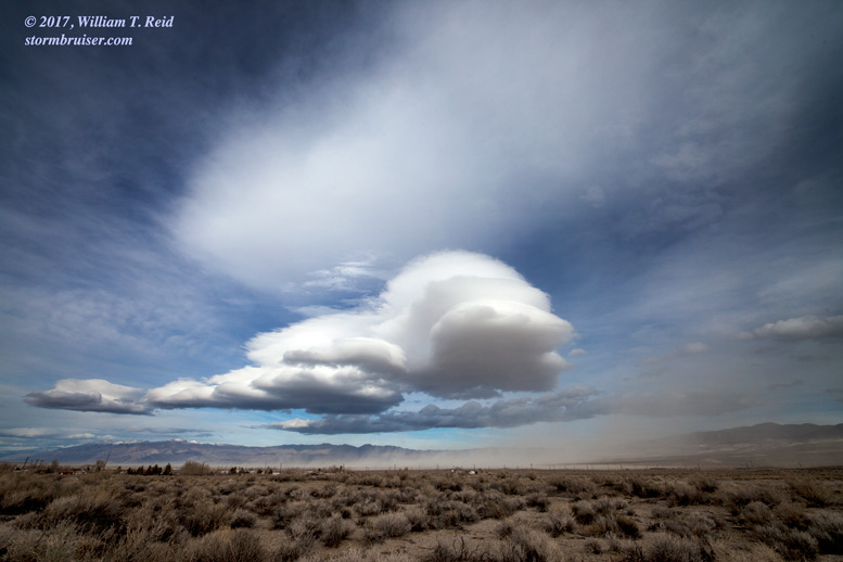
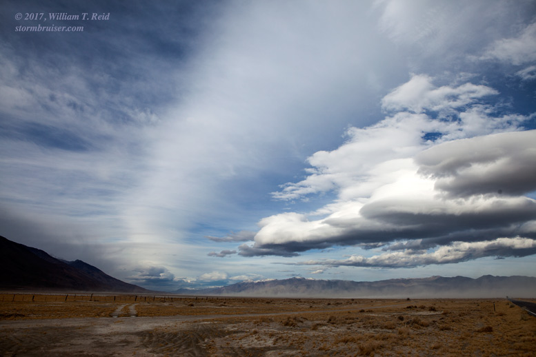
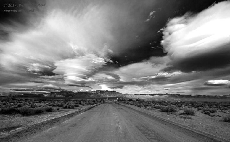
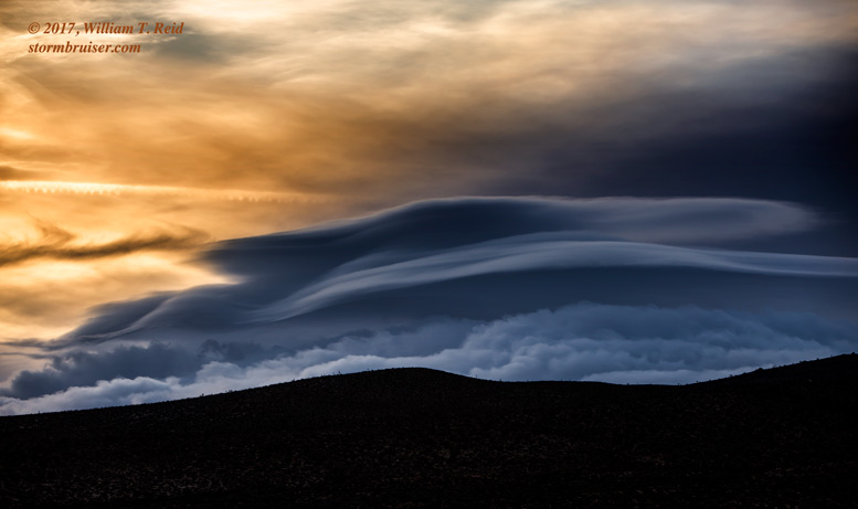
My ultimate goal on a “chase” such as this is to photograph a spectacular, multi-stacked lenticular above a mountain in the orange or red light of sunset. But, towards about 4 p.m., the wave clouds in my vicinity began to fall apart somewhat. It isn’t unusual for these to disappear quickly. There were a few more lenticulars to monitor on my way back towards Inyokern and Mojave, but thick cloudiness to my west with the incoming system did not allow much pretty sunset light or colors.
Leave a Reply
You must be logged in to post a comment.