Start — home, Westlake Village
End — home, Westlake Village
635 miles
Several strong storms near Chowchilla in Madera County, and a nice supercell near Tulare in Tulare County, California
Post-frontal instability was forecast for the Central Valley of California this day. The best backed winds looked to be from about Fresno northward. Severe weather looked possible, and a tornado possible but not likely. I hedged and hedged the night prior, thinking that it was just too far to the best area to bother (a 4-5 hour drive), especially given the prospects: pretty good by California standards, but so-so by Great Plains standards for storm setups. I looked at the maps in the morning and decided to commit. I had the entire day off, so why not?! I got out of the valley by about 10 a.m. and was up near Fresno by about 2 p.m. A nice and big patch of mostly clear skies was allowing a lot of needed sunshine to heat the land from Fresno northward and westward to the west side of the San Joaquin Valley. And, some nice, big cumulus clouds were building to my northwest!
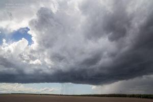
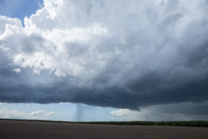
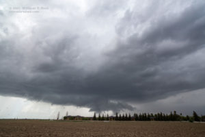
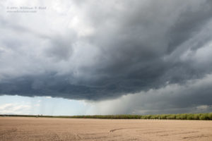
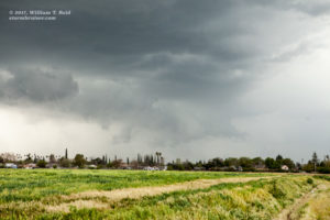
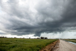
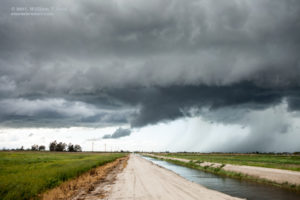
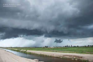
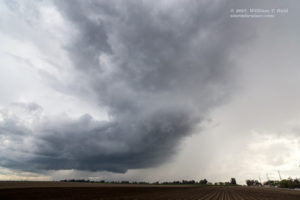
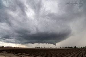
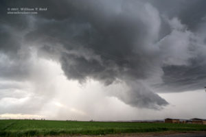
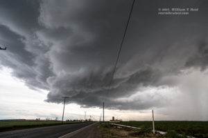
My iPhone radar showed a tornado-warned cell several counties to the northwest. My tail-end cell looked decent as I got into position, southwest of Chowchilla. The southeasterly inflow to it was impressive, and a nice rain-free base with a lowered area materialized. There was occasional thunder, and new updrafts went up not too far to the south. The cells moved NNE and gradually became a little less organized, and less intense, it seemed. Here are some stills of the cells near Chowchilla in Madera County.
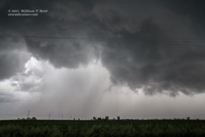
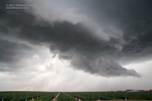
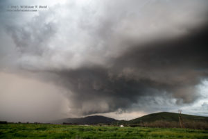
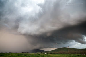
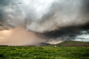
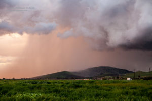
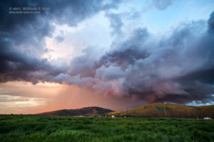
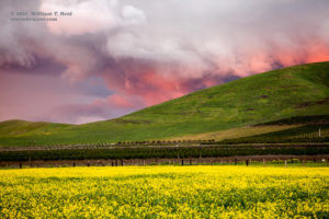
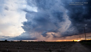
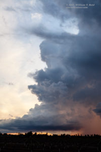
I backed off down the road towards Madera and waited another 15 minutes or so, called Bob Smith for some guidance, and watched the nearby activity sputter. There was nothing to go after down south, back towards home, but it was early still (4 p.m.) and one model showed a storm or two south of Fresno before sunset. I headed southeast on 99, and about an hour later neared a rather unspectacular convective blob that was southwest of Tulare. I exited between Tulare and Tipton to check it out, and I was very quickly in position, northeast of the updraft by a few miles. The cell quickly organized and soon had a nice rounded look and some thunder! yes! It was a supercell, and a decent wall cloud formed, too. The storm dragged me east of U.S. 99 southeast of Tulare with some outflow and scary lowerings to photograph. There was never any decent low-level rotation. I raced around on the nice road network between orange groves and big ranch farms, through outflow dust and some rain. At Lindsay I and the storm were on the edge of the foothills. Since it was sunset, it was time to stop and watch it drift off to my north and northeast. The sunset colors did not disappoint! Another weaker cell also looked good to the southwest at sunset. Lightning was a little too sporadic to try to photograph after sunset, so I headed back to 99 for the four-hour drive back home.











Leave a Reply
You must be logged in to post a comment.