
Begin: Lubbock, TX
Lunch: Dickens/Ponderosa BBQ
End: Comanche Red River Hotel, OK (near Burkburnett, TX)
420 miles
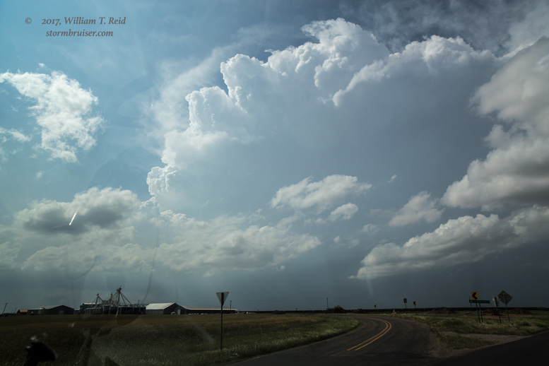
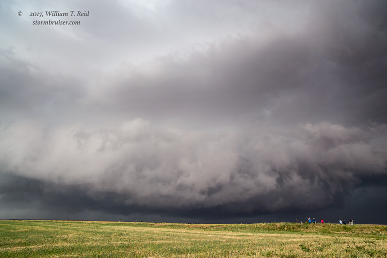
A favorable weather pattern for severe weather on the Southern Plains continued. A surface low was near Lubbock, and moist air (mid 60s dews) was pouring into southwestern Oklahoma, where SPC showed an enhanced slight risk and 10 percent tornado risk. It appeared that the triple-point play a little south of Childress would work. We made our way out of Lubbock, stopped in Dickens for lunch, and soon had storm towers headed towards Matador. A supercell took shape and swept through Matador. We viewed a wall cloud and avoided hail in Matador, and watched an action area pull off to our northeast. We scooted east to Paducah and then to Quanah to try to stay with it. The supercell was a big and nasty HP (high-precipitation) supercell by now. It reportedly produced a brief tornado between Childress and Paducah, but I had opted for the northeast route out of Paducah instead of 83 north in order to stay with the storm.


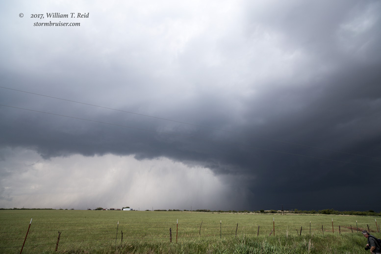

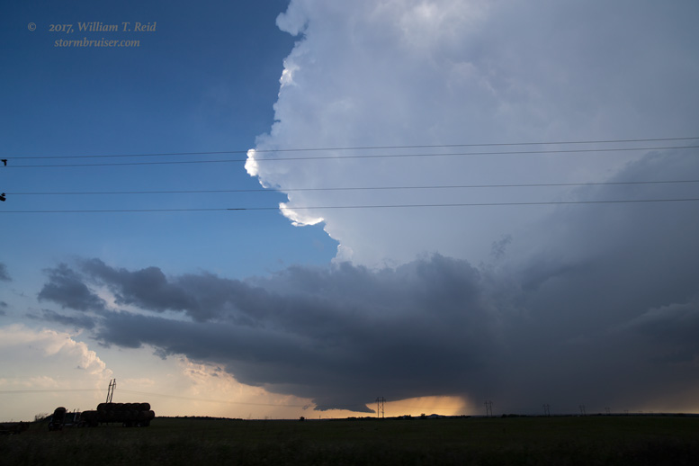
I think we moseyed up into Oklahoma, near Elmer, for a bit. Our supercell became rather messy and was not a good tornado candidate. It was time to get back towards the triple point again. Another storm was developing southwest of Chillicothe. South and west we went via Vernon, and the storm was looking good! We stayed with it through Vernon, where a decent wall cloud loomed. The wall cloud was not rotating at all, though. Where was our nice low-level spin? The structure near Vernon continued to impress, however.

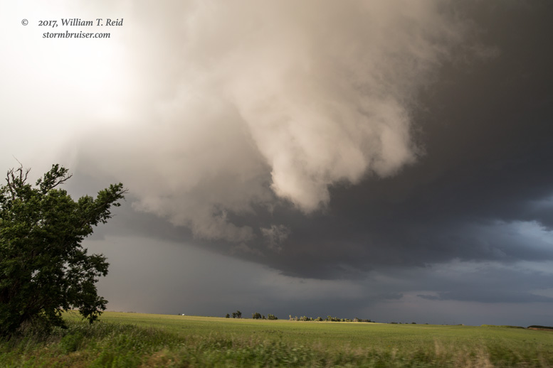

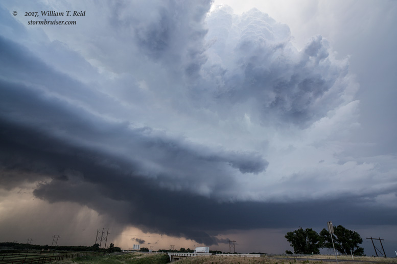


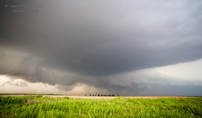
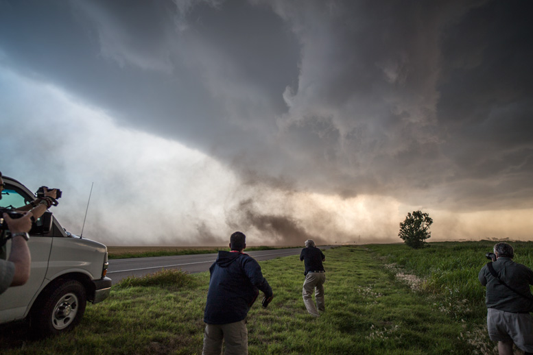
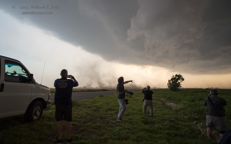
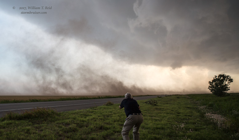
This supercell teased us as it crossed the Red River. Near Davidson (northeast of Vernon), the base wrapped up some and soon RFD winds were throwing dust around (see below). Some spin was noted at cloud level and on the ground, but I don’t think I witnessed anything strong enough to call a tornado. From here, the storm sputtered some. I think we were drawn northward to another action area near Hollister, but again the storm was not in the mood for tornado-making…or at least visible tornados. As dusk neared, we watched some so-so lightning in the stormy skies north of Grandfield.

Leave a Reply
You must be logged in to post a comment.