Start: Woodward, OK
Lunch: Woodward/Taco Mayo and Arbys
End: Sayre, OK
391 miles
Video by Tempest guide Chris Gullikson
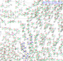
The severe weather gods smiled on chasers today, and SPC plastered a moderate risk with a 15 percent/hatched tornado risk area from about Childress, TX, to Buffalo, OK. This looked like a day with excellent high-end potential, with perhaps strong, long-lived tornadoes. See the SPC discussions linked above for the meteorological details.
Our group began in Woodward, and apparently I was not inclined to budge during the morning as we remained there for lunch. Extreme northwestern Oklahoma appeared to be a good place to hang out and wait, but soon after lunch I was eyeing areas to the southwest of Woodward, down towards Pampa, TX. Moist surface winds were backing nicely down towards I-40 in the eastern Texas Panhandle compared to those in northwestern Oklahoma.
It took about 2.5 hours to reach the Pampa area, and by the time that we arrived, strong storm towers were going up. One was nearby to our west, near Pampa, and one was to our south by maybe 40 miles, between Clarendon and McLean. The southern storm was already stronger, and would likely interfere with the inflow into the Pampa cell, so we continued southeast via Lefors to McLean. From a high point south of McLean, we could watch the developing supercell to our southwest. It was moving our way somewhat slowly.
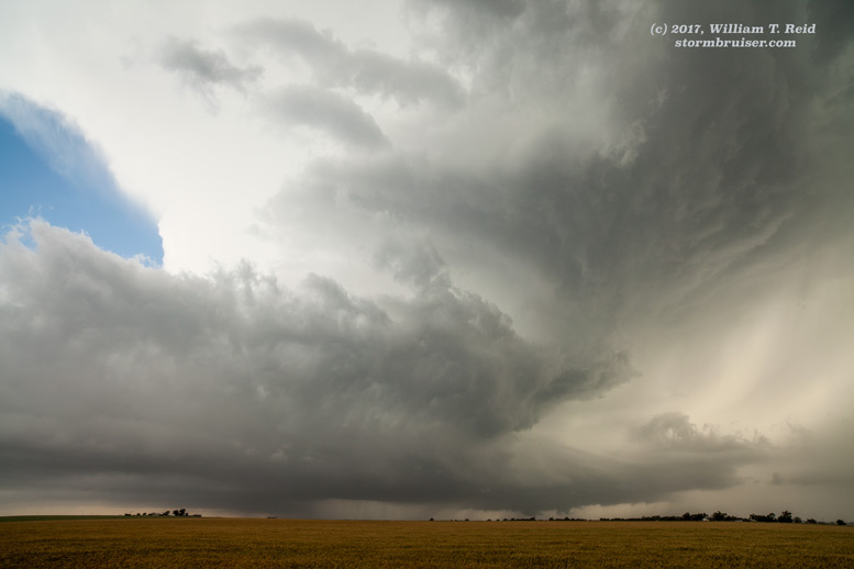
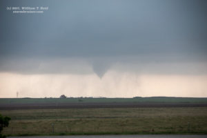
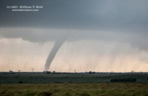
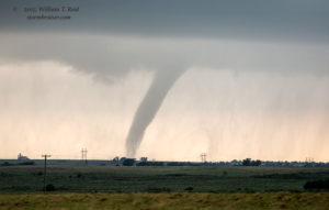
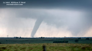
As the storm’s updraft base approached us near McLean, anvil rain began and became light-moderate in intensity. Most chasers were farther south on FM 273, but I was reluctant to venture farther south as that are appeared very vulnerable to large hail. And, there were no convenient paved options eastward from 273. Since it looked like getting trapped in large hail down to our south was somewhat likely, we stayed put near the McLean exit on I-40 as rain increased and small hail grew larger. A funnel cloud emerged from the base to our SSW, perhaps 7 miles distant. As the tornado formed, we had to scoot east along the I-40 frontage road a few miles to escape the hail. The tornado was still n progress to our WSW!
Again, large hail began to bounce around us, and we drove another mile or two to the east. The tornado to our west was becoming weaker and wrapped in rain. We had a good look at the storm structure to our west and then northwest from between McLean and Shamrock. The supercell continued to move to the northeast and sported some ground-scraping lowerings, but no areas appeared to be immediately ready to become tornadic again.
This “McLean” supercell was looking HP-ish and a bit messy (though a little later a rain-wrapped tornado was reported with it). A newer “tail-end” supercell had gone up to our south, near Wellington, and it was moving to the northeast. I decided to target the new storm. In order to get into position, we needed to blast east on I-40 and find a south route in front of the base. We headed east through Shamrock and Erick, and headed south on 283 from Sayre, OK. During this stretch on I-40 we were in a lot of anvil rain, with little to see in the murk to our south. The storm looked great on radar, and a tornado was reported with it 10-12 miles east of Lutie, Texas (This is near the OK/TX state line, about 10-12 miles south of Texola.)
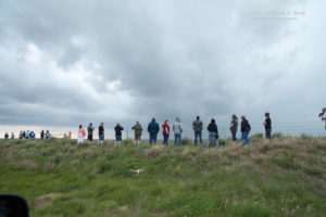
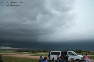
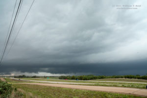
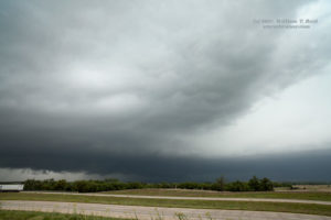
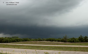
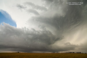
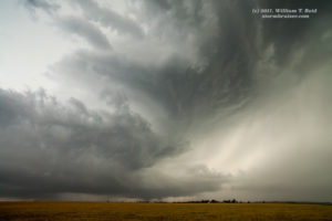
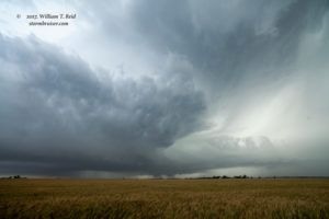
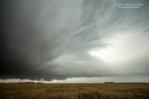
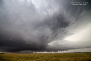
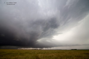
We stopped in a great open area on the west side of Sayre Airport, which is 6 miles south of I-40. This afforded a great look at the approaching tornadic supercell.
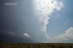
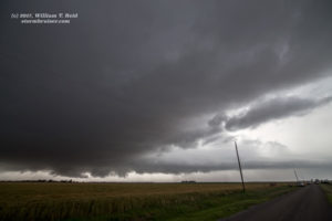
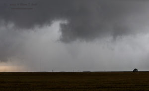
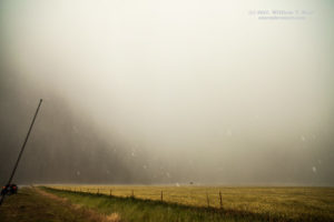
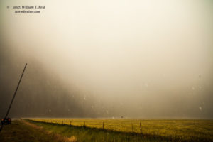
The storm may have been tornadic while we were watching it approach from the west (images above), but associated precipitation was hiding much of the action area. Hailstones to four inches in diameter were reported five miles south of Erick. As the supercell moved to our NNW, it was time to get back on it. We were playing slight catchup again, and the action area was nearby. We headed up to I-40 and then east on 152, and soon we were in rain and then strong north or northwest winds — something was brewing to our east or southeast it seemed, but heavy rain ruined the visibility. We pressed on eastward carefully and finally saw something which looked like something we didn’t want to tangle with! The enhanced images below show what appears to be the edge of a large tornado.
While viewing this in real time, we weren’t really sure what was going on, but once the tornado had passed to the north and it was clear to proceed eastward, we saw some evidence of a tornado’s recent passage through the adjacent fields. This tornado continued to the NNE and did damage to southern portions of Elk City, OK. We continued east and then north to Canute. Our supercell looked wet, a bit messy, and less organized. This trend continued as we monitored from I-40, and the chase day was done! On the way west on I-40 to Sayre for the night, we saw plenty of emergency lights flashing south of the Interstate at Elk City. Part of the town took a bad hit.

Leave a Reply
You must be logged in to post a comment.