
Start: Ulysses, KS
End: Hoisington, KS
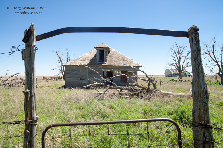
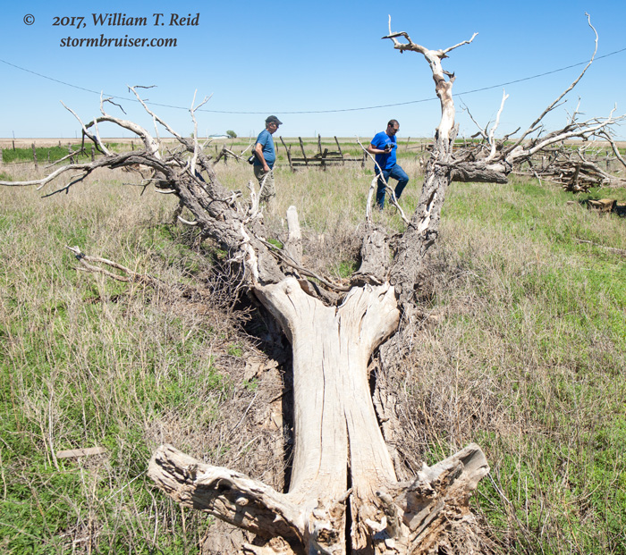
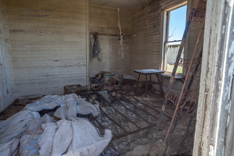
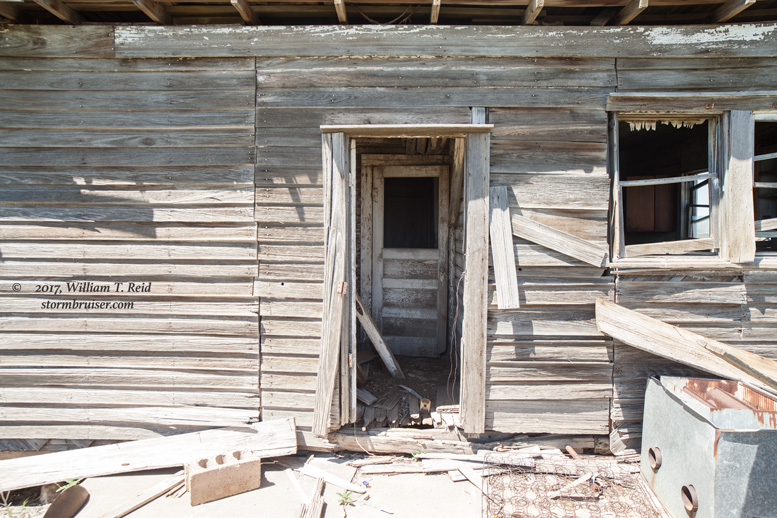
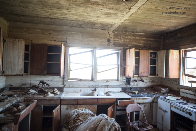
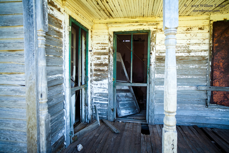
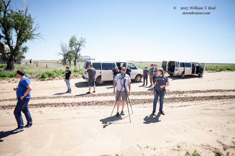
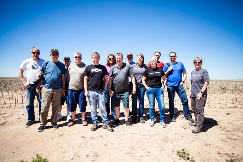
I went about a week without a storm chase, right in the middle of Tour 3, because I had to work a couple of shifts at the regular job back home in California. We last left you on the dreaded May 18 bust in Kansas. Chris Gullikson took the reigns of the tour, and I flew back to L.A. Tempest chased storms near San Angelo on the 19th; saw a great supercell near Freer, TX, on the 20th; observed a supercell near Laredo on the 21st, and was back on the High Plains for a supercell and tornado near Carlsbad, NM on the 22nd. I returned to the group at Midland after the New Mexico chase on the 22nd, just in time for a couple of down days on the Plains. On the 23rd, we visited the NWS office in Midland and headed up to Amarillo. On the 24th, we enjoyed lunch at the Big Texan in Amarillo, visited an abandoned house near Sunray, TX, and spent the night in Ulysses, KS. There was finally a severe weather risk on May 25th in Colorado and Kansas.
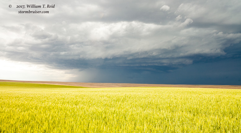
SPC upgraded from slight to enhanced slight for northwest KS and vicinity in their 20Z outlook, but this was for severe wind risk. The storms that were expected to develop near a boundary in northeastern Colorado would be working on “modest” moisture and would be high-based with low tornado threat. I liked the area near I-70 near Goodland a bit more than the Yuma, CO, area, in part because the Colorado activity was to develop quite early and would wind up junky earlier in the day.
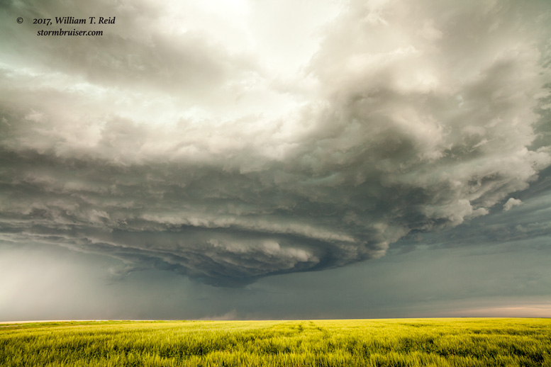
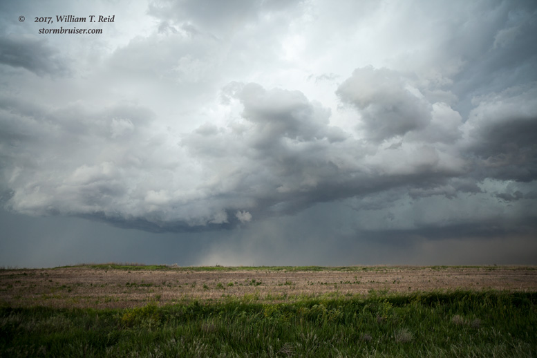
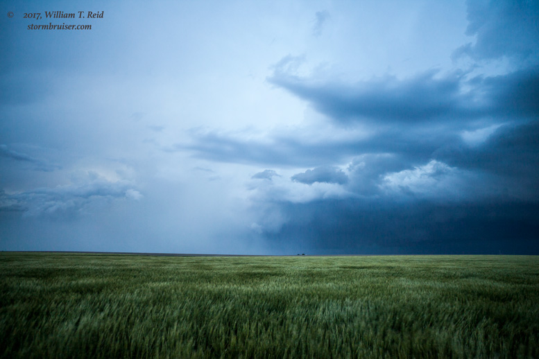
We watched a storm come out of Colorado and move eastward into southern Sherman County. It was high-based and had a nice, big base to our northwest and north.
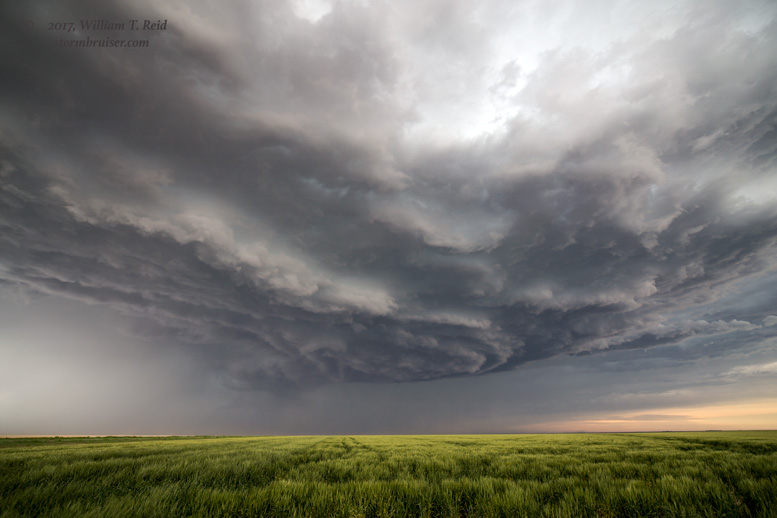
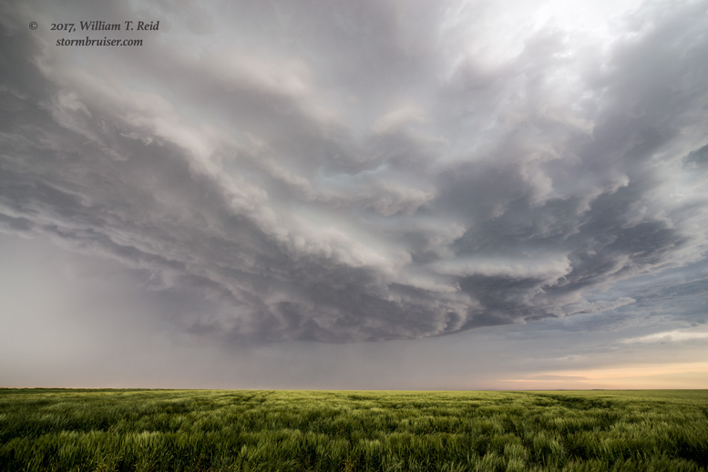
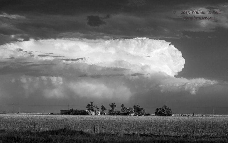
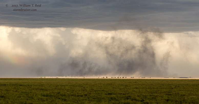
This storm was moving right along to the east, and we had to dive south to Sharon Springs (about 15 miles away?) in order to continue to the east. On our way to Russell Springs, the storm was becoming a big-time outflowing beast. The structure on the front end, to our northeast, was quite impressive. But the storm was moving so quickly that getting back in front of it was not going to happen. Here are the pics from the south side of the storm around Russell Springs eastward to U.S. 83.
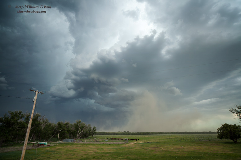
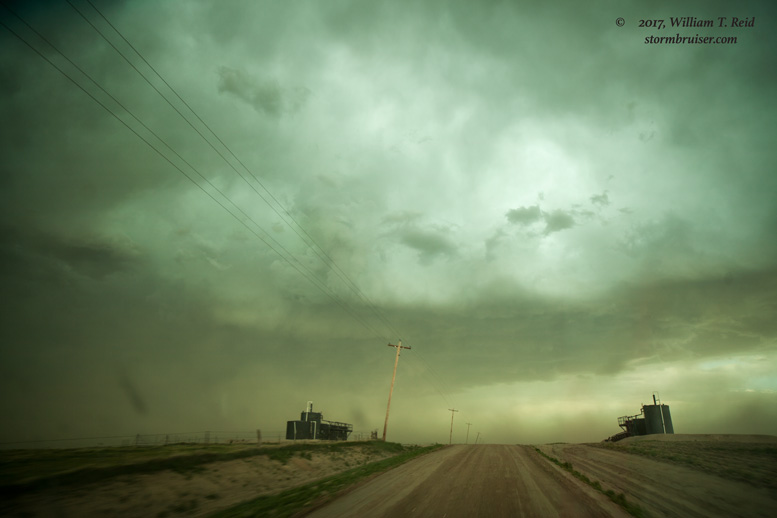
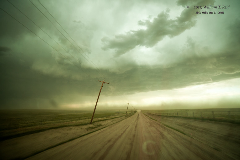
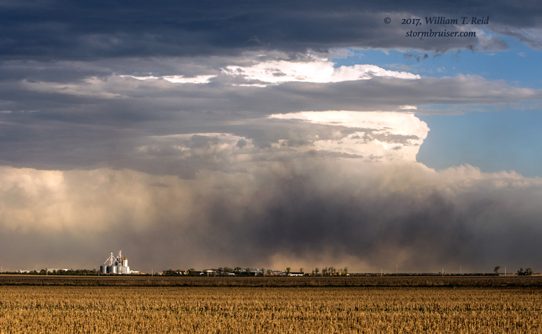
The storm motion and sparse paved road network continued to be problematic. We had to drop south to Kansas Road 4 (north of Scott City) to continue to the east. This cost close to 20 minutes, and we were falling behind. The storm had a bit of an ESE motion, so that helped some. Nearly an hour later, we pulled even again with the leading edge of the cell. This was near Utica.
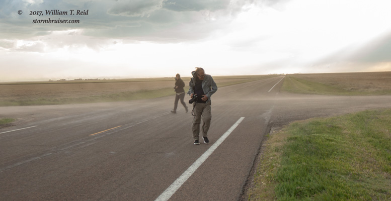
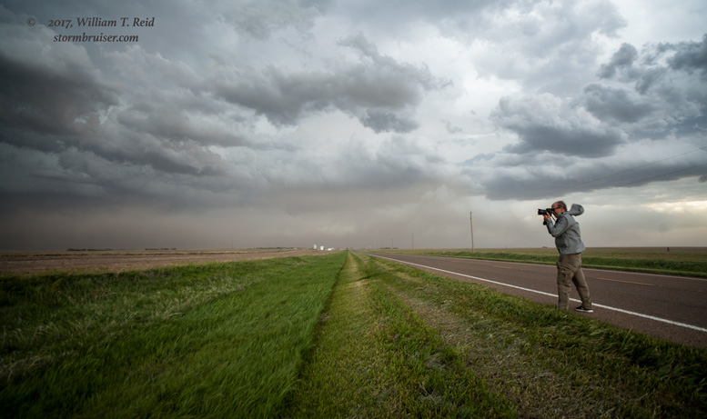
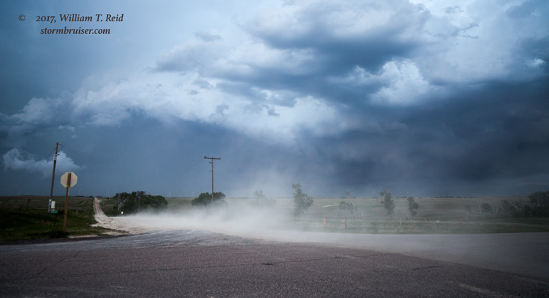
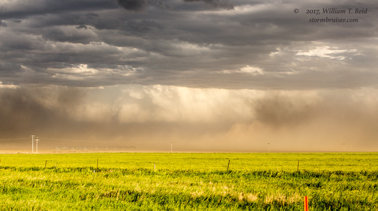
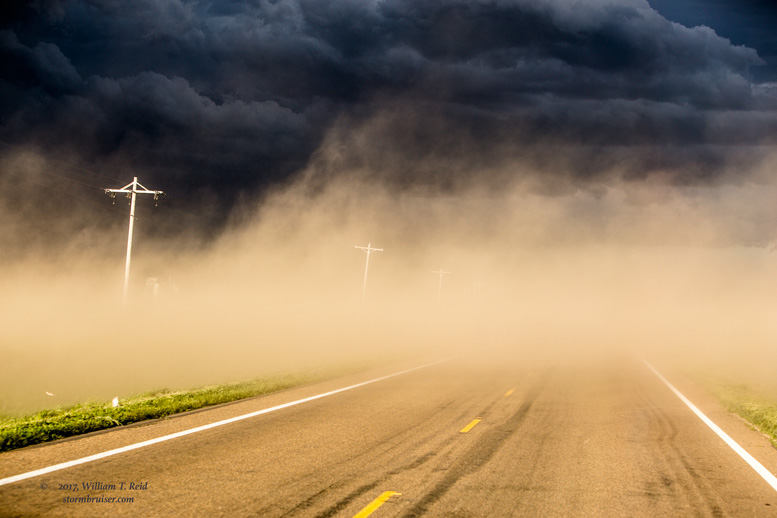
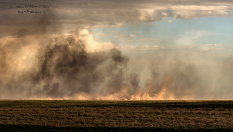
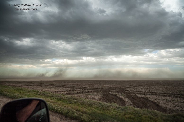
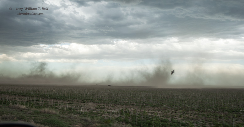
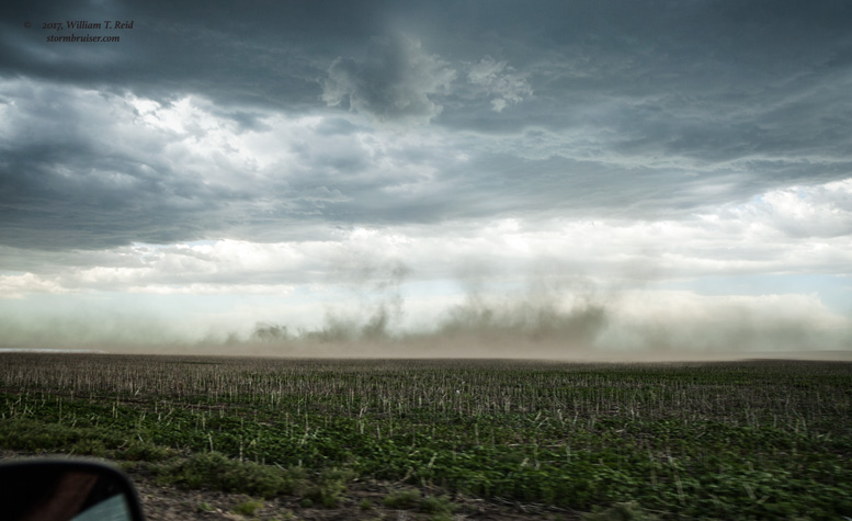
Strong and cool north winds were blasting out at us along Highway 4. Another CB was going up to the south, and the blowing dust everywhere made for some interesting photo ops. As sunset neared, we blew off the chase and headed to Hoisington.
This was the final chase day for Tour 3. May 26 was the day to get the guests back to OKC, and Tour 4 would begin on May 27. On the 26th, one Tempest van returned to OKC from Hoisington, while I and the other van held back in southwest Kansas as there was a severe weather chance. The place to be on the 26th was northeastern Colorado, and by mid-afternoon it was obvious that southwestern Kansas was not going to work out despite the slight risk. The second van headed back to OKC.
Leave a Reply
You must be logged in to post a comment.