
Start: Tucumcari, NM
Lunch: Clayton, NM (Subway and DQ)
End: Garden City, KS
435 miles
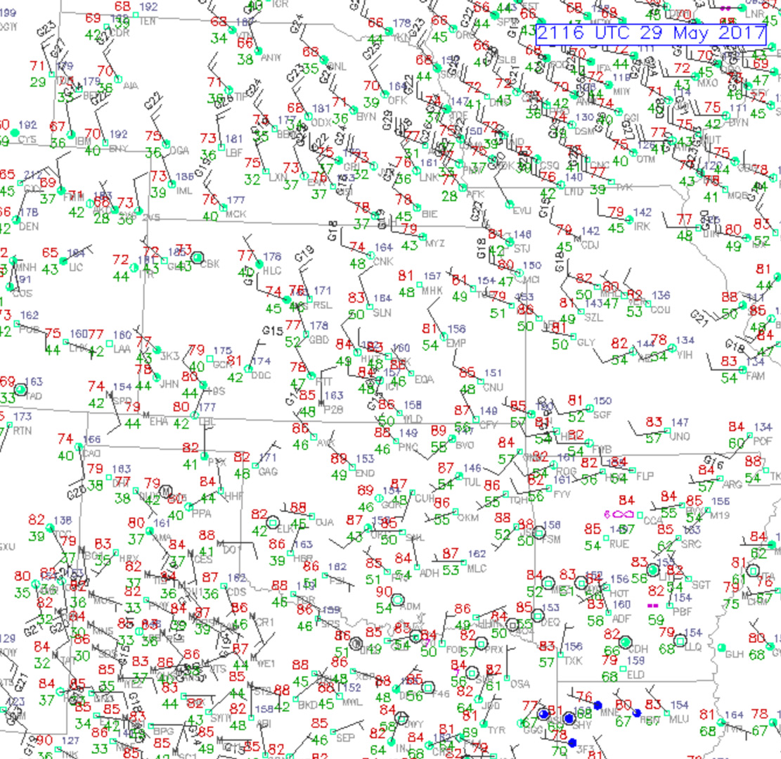
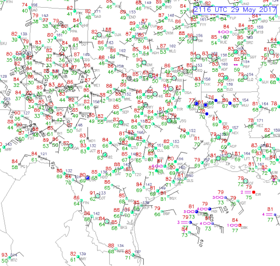
A look at the surface maps above will show the skimpy moisture over most of the Great Plains. A cold front and the dry northwest winds behind it had made it deep into Texas. Fortunately, enough residual moisture was around the Panhandles of TX and OK to permit storm development today along the Raton Mesa. SPC decided to throw in a “marginal” severe risk over northeastern New Mexico in their 20Z outlook, which gave our group a nice warm and fuzzy feeling inside. By this time we were already watching high-based convection in the vicinity of Capulin and Folsom, New Mexico.
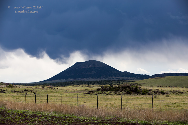
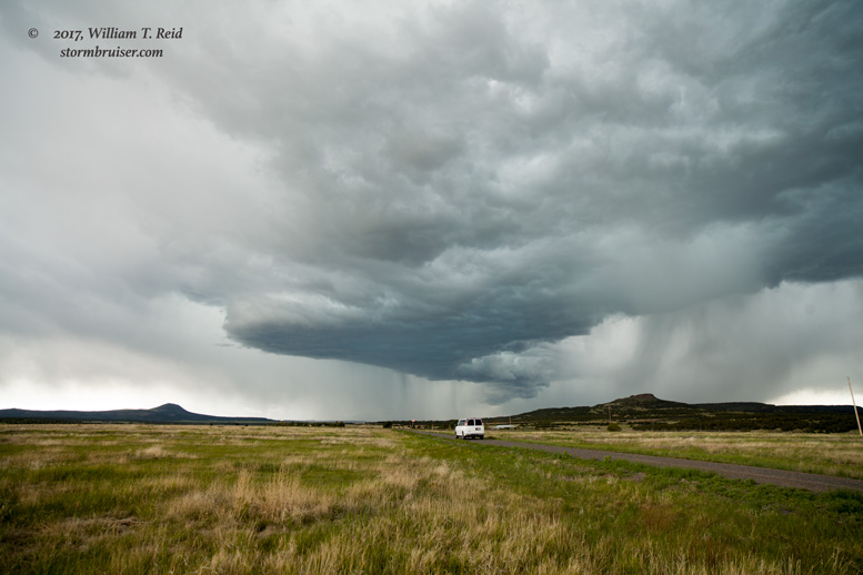
A strong storm near the CO/NM line, northeast of Folsom, looked good on radar, and I wanted to get east of it. To accomplish this, I could take the long way around to the south and southeast, via Capulin and Des Moines, and get into position more than an hour later when the storm would certainly be junk. Or I could take the group along the unpaved road between Folsom and Kenton, right next to the storm! Well, it is unpaved for part of that stretch, only 25 or 30 miles. Let’s see what happens!
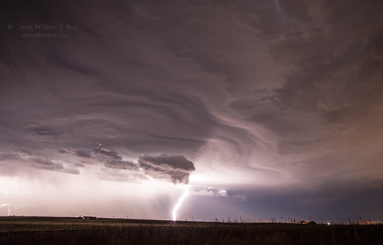
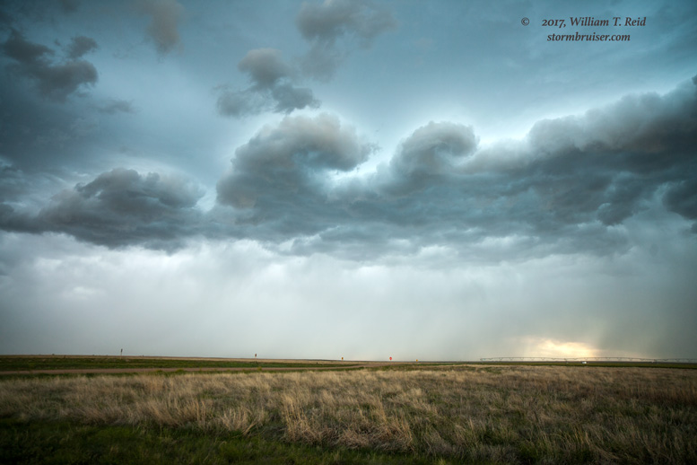
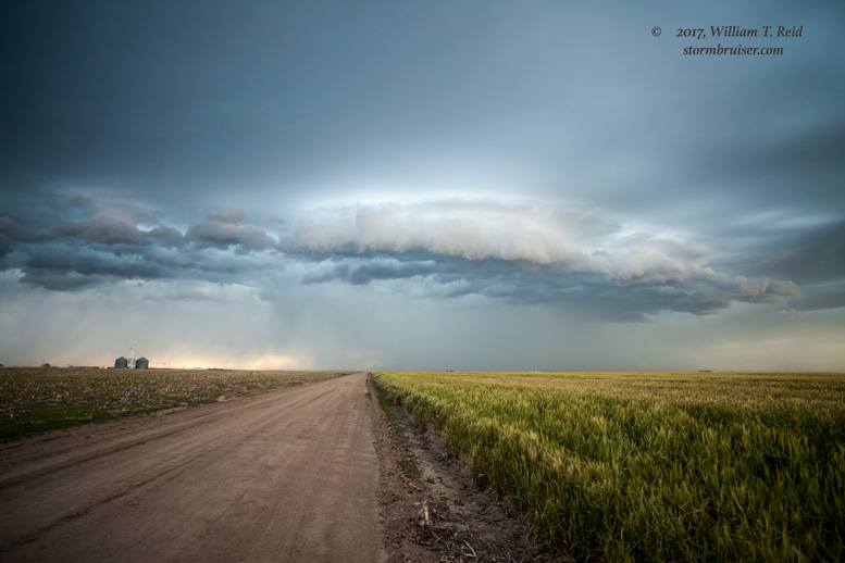
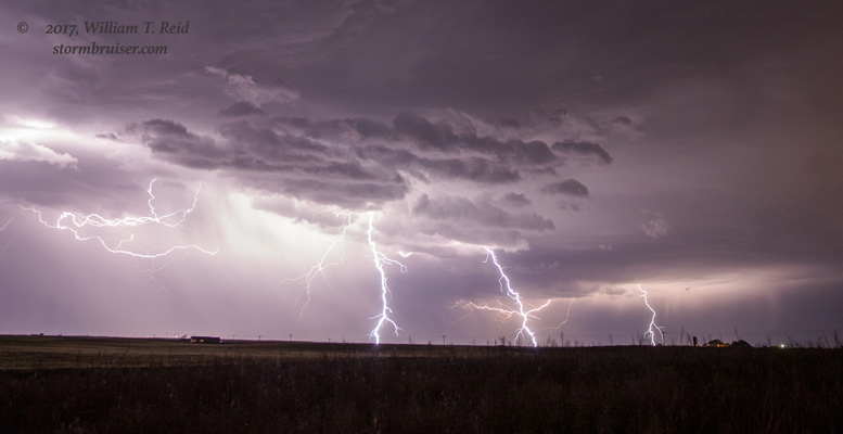
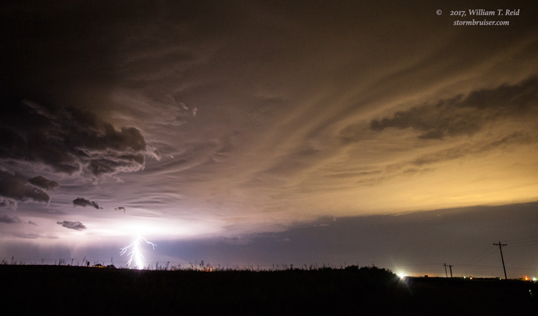
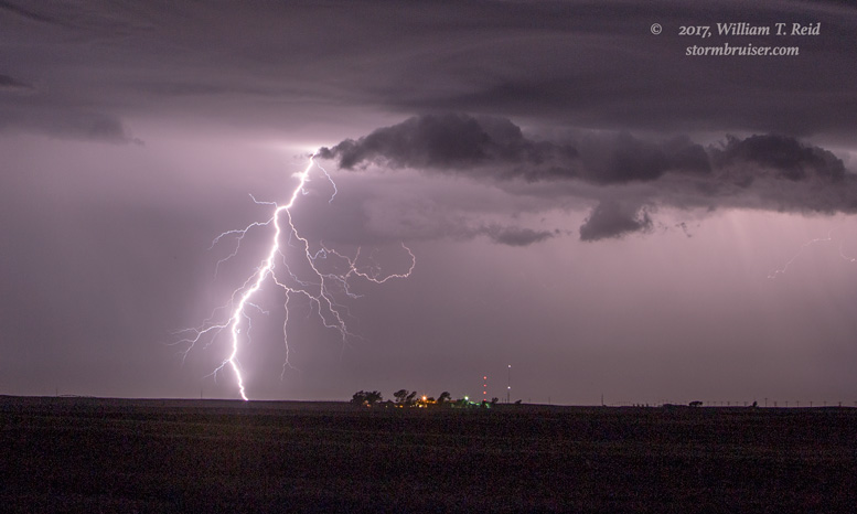
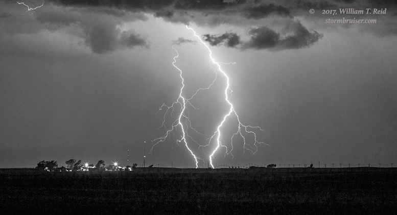
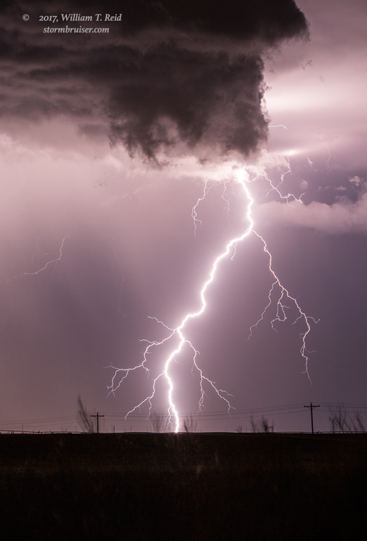
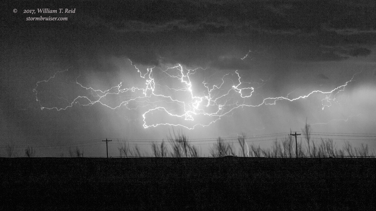
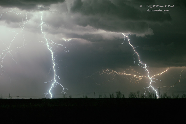
As we drove eastward on the unpaved section, the rain and hail increased. Right on top of us. The road turned quite hazardous and slippery in spots, but my fantastic drivers, Rook and Chris, got us through the mess! By the time we found pavement again, the storm(s) nearby were rather ho-hum. We tracked a high-based and outflowy mess into southwestern Kansas, and were rewarded with a decent lightning show during the evening from Moscow to Garden City.
Leave a Reply
You must be logged in to post a comment.