Stormbruiser.com

William T. Reid

  • About
  • Video Links
  • Climate
  • Categories
    • Astronomy
    • Aurora/Northern Lights
    • Artsy
    • Airports (LAX and VNY)
    • Animal Day
    • Beach
    • BEST and MOST POPULAR
    • Chase Season Summary
    • Chasers and friends
    • Cumulonimbus
    • Death Valley
    • Desert
    • Desert/Mountains
    • Elevated photography
    • Eyesores
    • Fire
    • Flooding
    • Hurricane
    • Landscapes
    • Lightning
    • Local: Conejo Valley/San Fernando Valley
    • Mid and High Clouds
    • Nighttime photography
    • Old Stuff
    • Rainbows/Optical Phenomena
    • San Nicolas Island
    • Storm Video Sales
    • Stormy Skies
    • Stupid Bugs
    • Sunsets and Storms
    • Supercells
    • The City
    • Tornadoes
    • Unusual Clouds
    • Vegetation
    • Wind and Dust
    • Winter Weather
  • Contact
You are here: Home / Cumulonimbus / May 30, 2017 Southeastern Colorado Mushballs

May 30, 2017 Southeastern Colorado Mushballs

May 30, 2017 By Bill Leave a Comment

170530_2022_SheridanLk


Start:  Garden City, KS

Lunch:  Lamar (Sonic and McDonalds)

End:  La Junta, CO

425 miles

SPC Day One Outlook/20Z

There were no mesoscale discussions for Eastern Colorado and the High Plains today.

SPC Storm Reports


Sfcmap


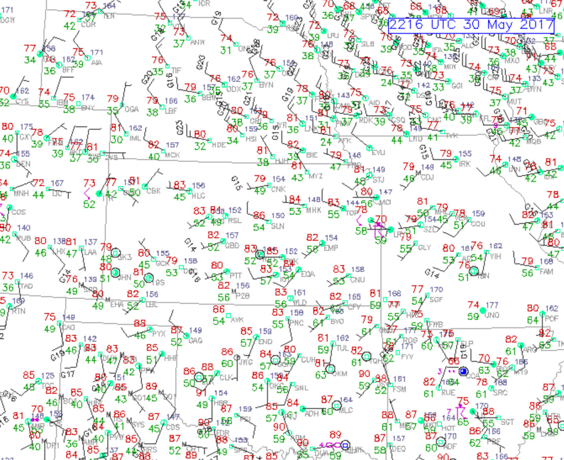
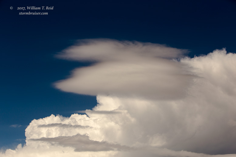
Plenty of spectacular chase days have taken place on and about May 30 through the years, but this year the weather pattern was downright lousy.  Moisture on the central Plains continued to be in short supply beneath decent WNW flow aloft.  From Garden City, KS, we had the option of heading towards the KS/MO border and the marginal risk area.  (The E CO/W KS area was in the “general thunder” outline by SPC.)  But the next day was looking somewhat decent on the High Plains as moisture increased a bit, so it didn’t seem like a great idea to bounce back and forth across Kansas during a blah pattern.  Today had SOME potential for a pretty storm, and SPC added a marginal risk for eastern Colorado in their 20Z outlook.  We were working with dew points under 50F, though, south of I-70.

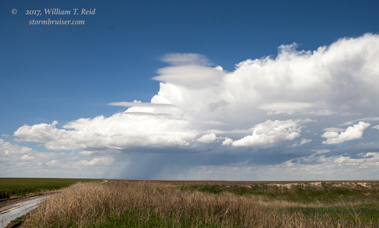
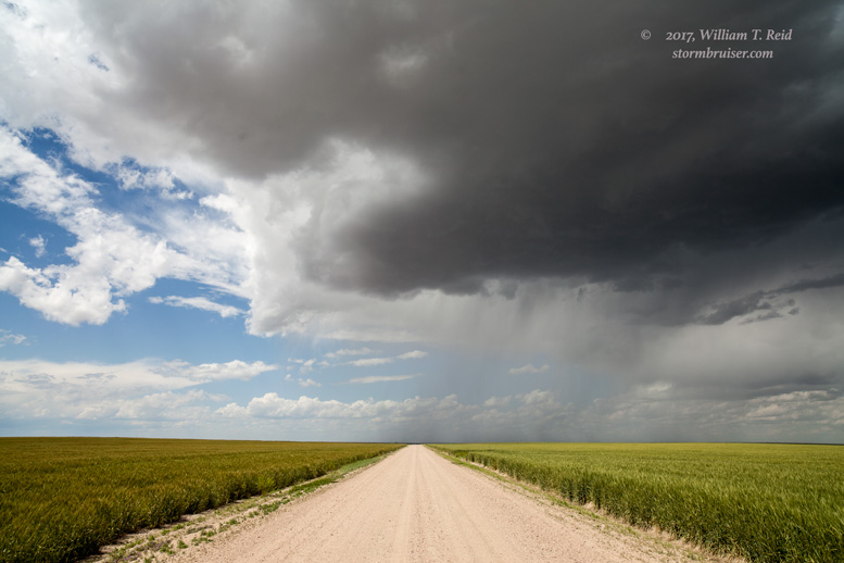
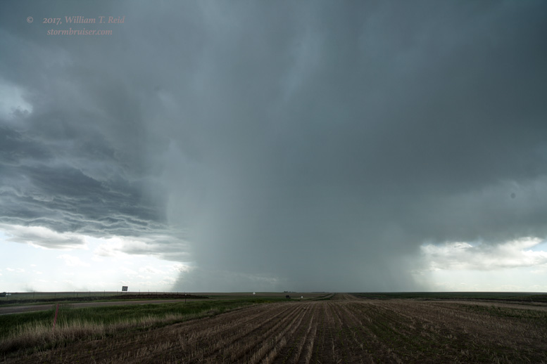
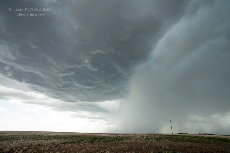
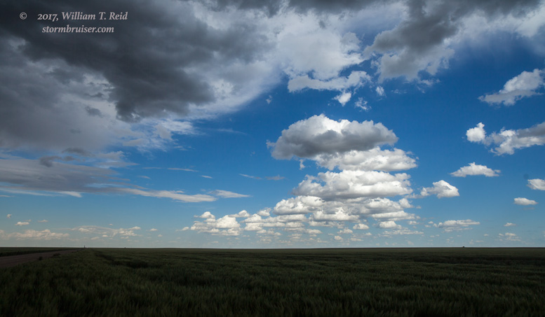
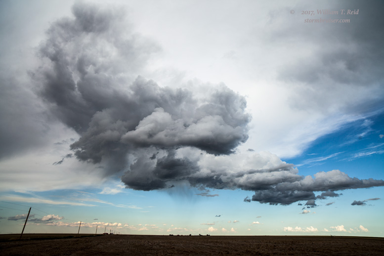
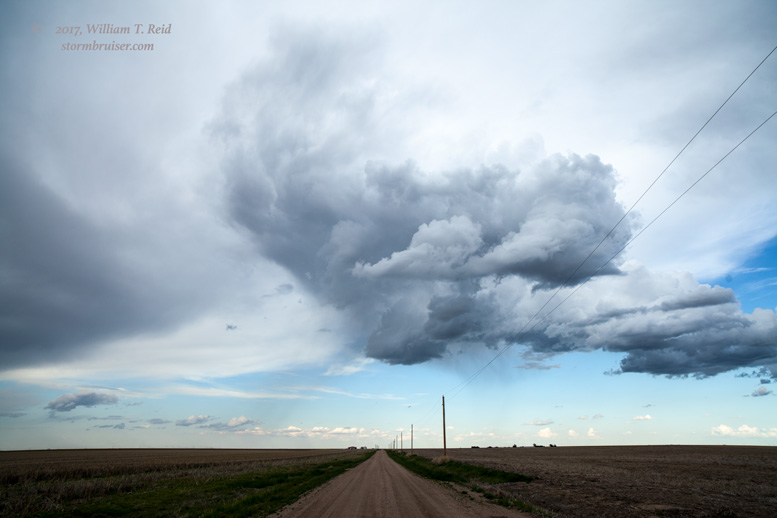
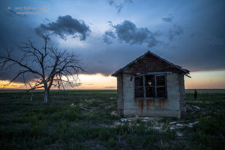
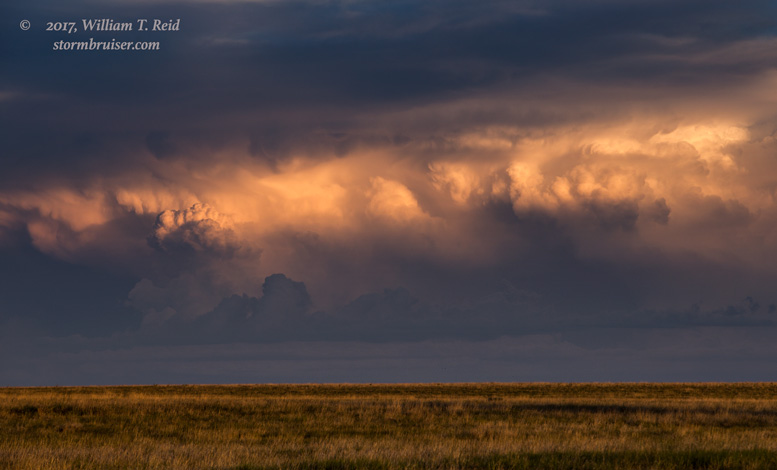
We watched a storm tower north of Sheridan Lake for a while, and were then dragged east to Tribune, Kansas.  The updraft there fizzled, and back west we went to see the sunset and some really weak convection near the ruins around Arlington.  Some lightning south of La Junta capped off the evening.


Filed Under: Cumulonimbus, Old Stuff, Stormy Skies, Sunsets and Storms, Uncategorized

Leave a Reply

You must be logged in to post a comment.

Search

May 2017
S M T W T F S
 123456
78910111213
14151617181920
21222324252627
28293031  
« Mar   Jun »

Categories

Archives

Copyright © 2025 stormbruiser.com · Log in