
Start: Vega, TX
Lunch/late breakfast: Vega/Hickory Cafe
End: Abilene, TX
415 miles

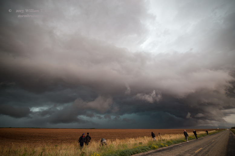
Today was the final chase day for Tour 4, and we began in Vega, Texas. We had to be back to OKC by midday tomorrow. The best chance for severe weather was way up in the Dakotas, though with no risk of tornadoes, according to the SPC outlooks. SPC showed a marginal risk as far south as east-central Colorado. Though West Texas was in the “general thunder” area, it appeared that there was a decent chase opportunity in the Lubbock area. We headed south and by early afternoon, decent updrafts were already developing a little south and southeast of Lubbock. Despite the low-end severe risk and “general thunder” outlook, SPC provided a mesoscale discussion which pointed out an “MCV” (mesoscale convective vortex, see link above) just west of Lubbock. They felt that any convection would not be well-organized due to unfavorable wind shear shear, but that landspout tornadoes were possible. Unlike the past several days, with somewhat poor moisture and good shear; today we had good moisture and poor shear. Dew points were in the low-mid 60s in the eastern Texas Panhandle.
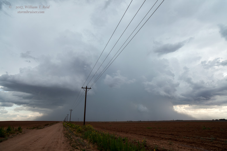
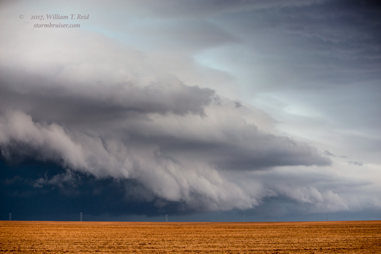
The cells near Lamesa were heavy with rain, and there were occasional lowerings and hints of decent-low-level organization.

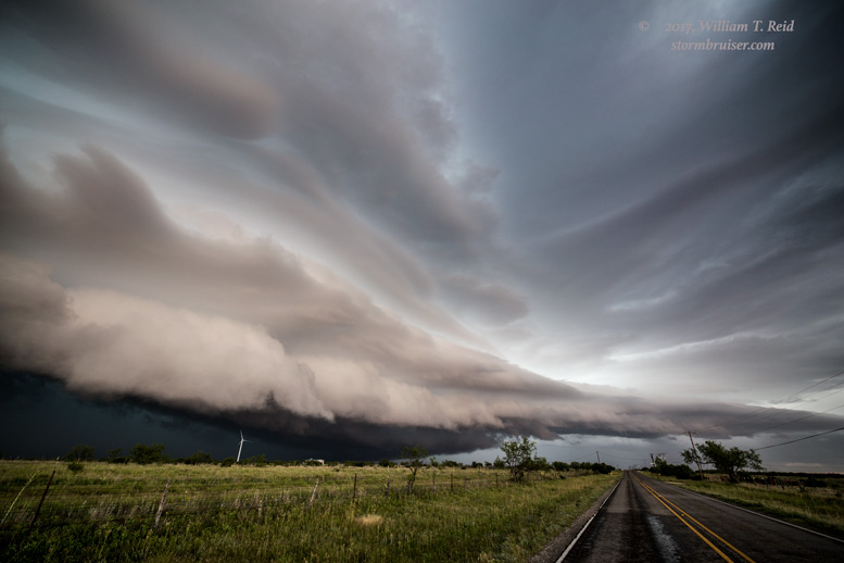
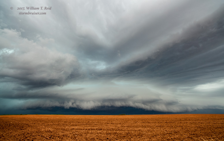
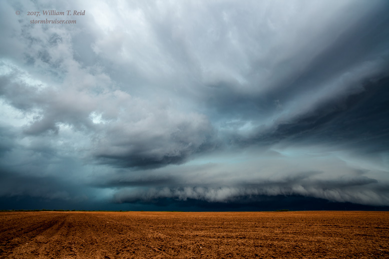
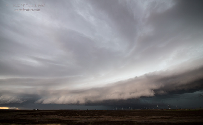
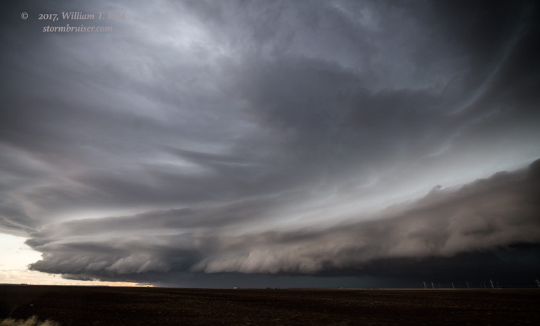
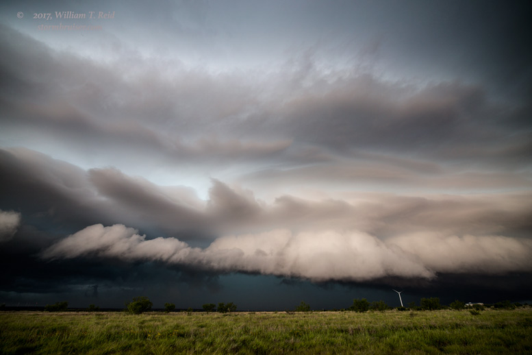
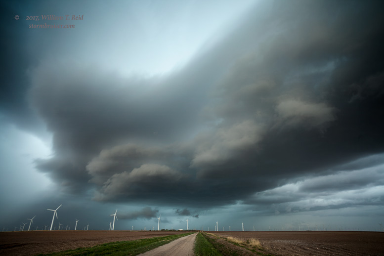
From the Lamesa area we scooted eastward to get in front of this activity. We wound up in front of a nicely-sculpted and striated linear feature. This was perhaps 15-20 miles or so west-southwest of Snyder, and the “squall” pushed us into Snyder.
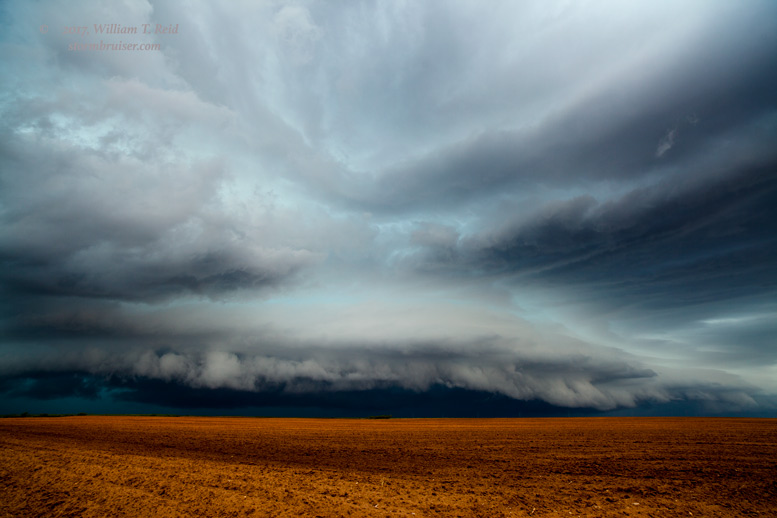
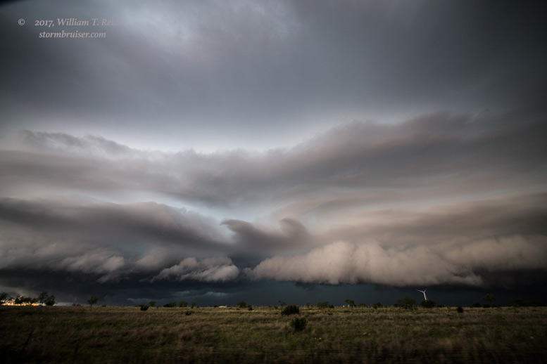
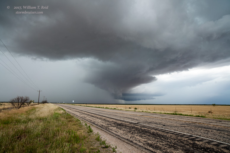
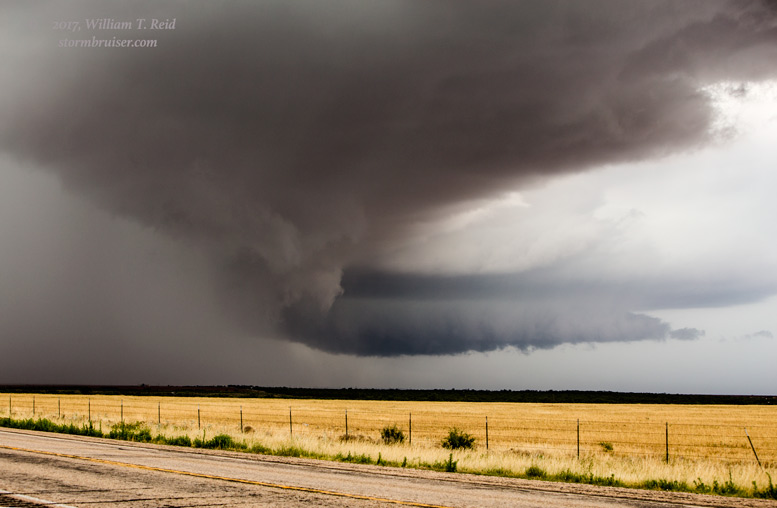
The system struggled some as it reached Snyder, and later we watched a so-so updraft that was northwest of Roscoe. Apparently this activity caused a 70 mph wind gust in the Sweetwater area. As the storms wound down, we made it into Abilene for the night, and the next day we headed into Oklahoma City to wrap up the tour.
Leave a Reply
You must be logged in to post a comment.