
Start: Oklahoma City
End: Hugoton, KS
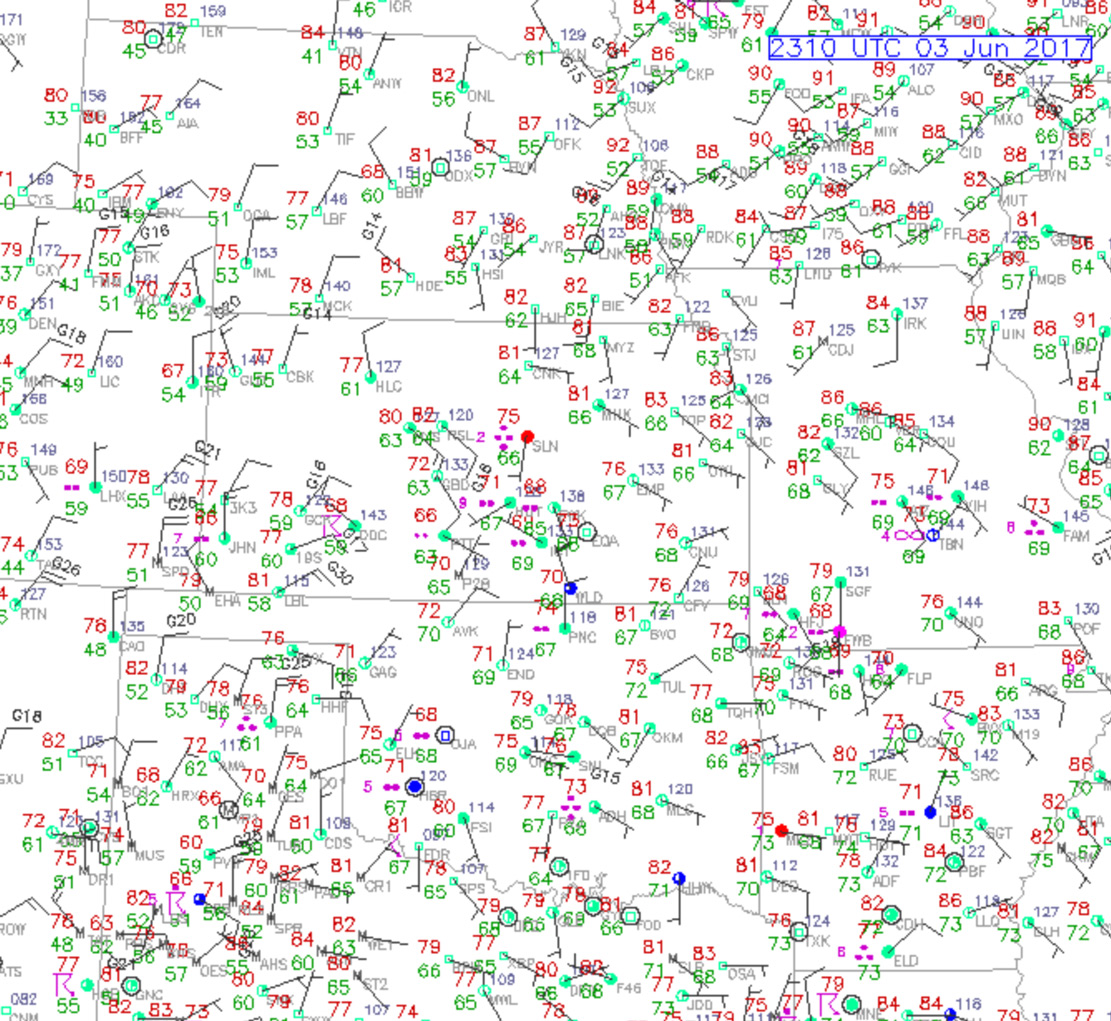
June 3rd — it is the end of Tour 4 and Tempest Tours shifts bases from OKC to DEN. Justin and I started our trek west and northwestward in the mid-afternoon, without much thought to having a storm intercept along the way. SPC showed general thunder for the entire Central Plains. Models showed some development around Liberal, Kansas, during the late afternoon, so we headed to Woodward and Liberal. We timed it rather well, as a storm or two were going up upon the approach to Liberal! I figured that we would do a quick “drive by” as these certainly would be mushy and disorganized junk. But the cell northwest of Liberal had a good look at low levels. Hmmm.
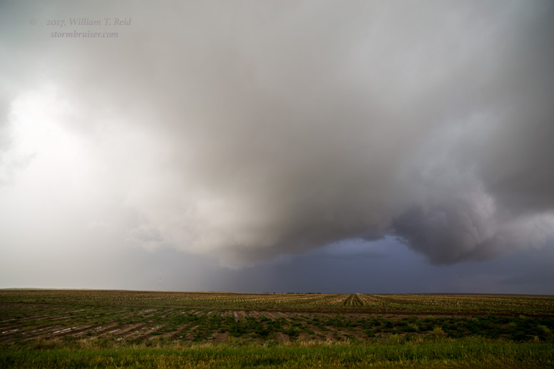
The storm sported a decent, low base, and there was humid inflow from the east. This was not expected. It must be a mistake by nature. I had places to be later. There is no time to chase.
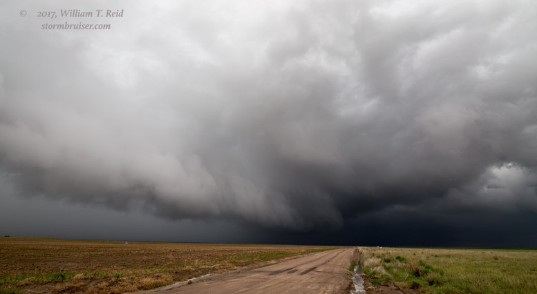
The storm was dropping to the south, and I headed west on Road 4 out of Liberal towards Woods. I kept looking at the storm base to the north. Should I stop? A storm chaser should stop here and watch. This storm is rotating and a tornado was possible.
I kept driving westward and kept looking back to the northeast. This is nuts! Am I a storm chaser or am I not a storm chaser? After driving about five miles too far to the west we were in strong northwest winds. This darn storm is right on a boundary and is spinning and here I am driving the wrong way! We turned around and headed east. The cell was becoming a bit wet by now, but it still had a nice look. This is the view to the east and northeast.
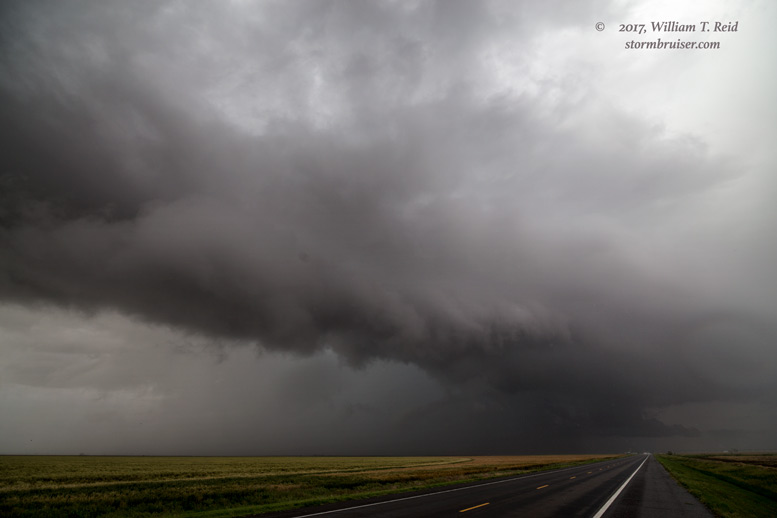
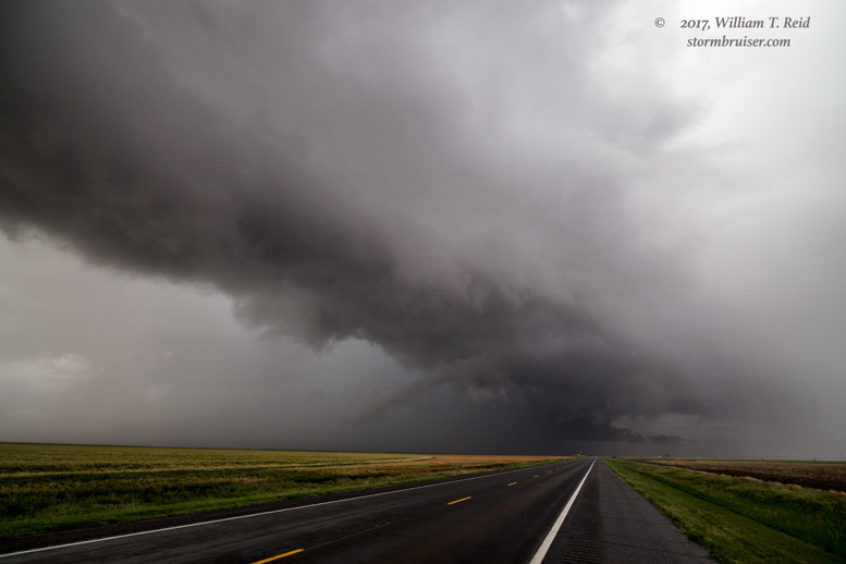
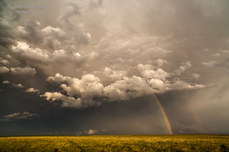
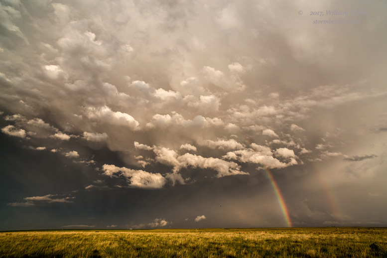
We dropped south on the road to Hooker, and were afforded these looks to the east. The two images on the bottom suggest a nice roundish wall cloud adjacent to a big clear slot. Perfect! Were we going to get a tornado?
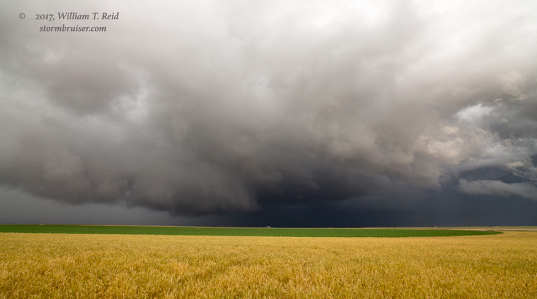
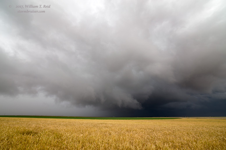

I honestly thought that the tornado chances looked pretty darn good for 10-20 minutes as the storm moved towards the east side of Hooker. But, alas, when it got close to Hooker, it began to fall apart some. It was time to resume our drive to Denver.
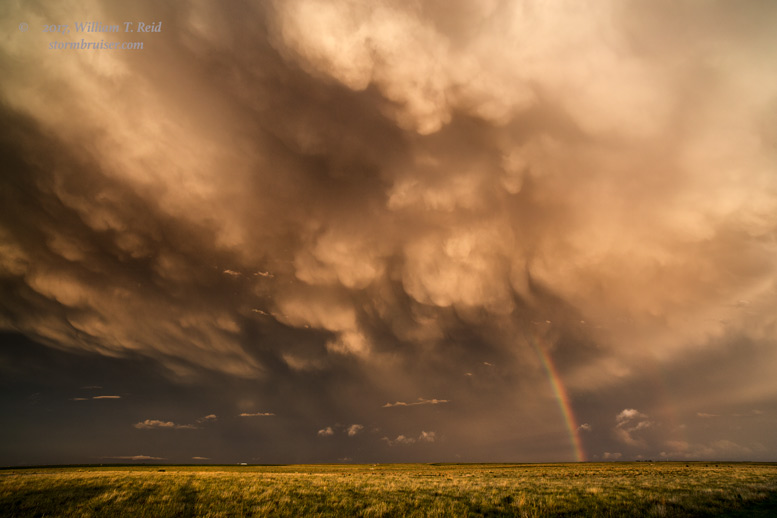
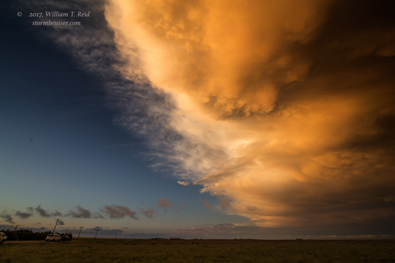
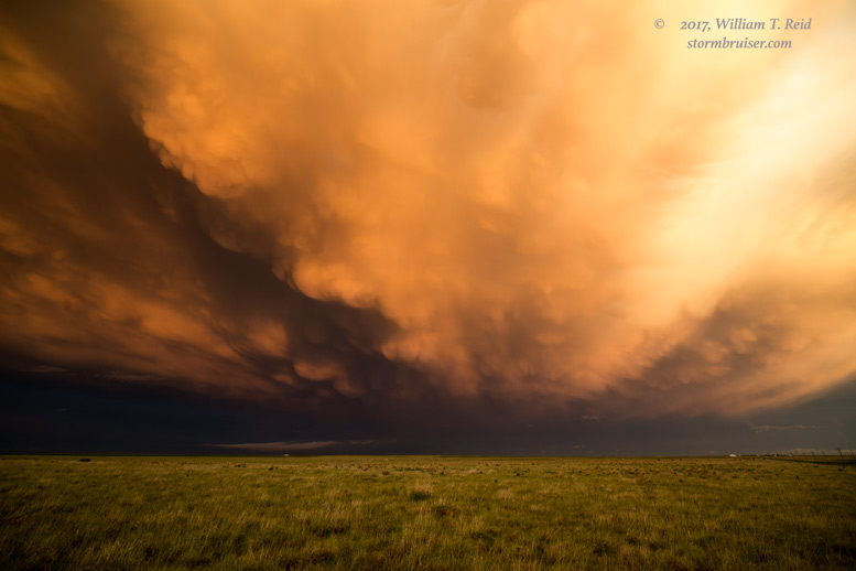
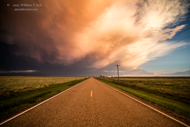
But wait! It was about sunset, and now everything to our southeast was looking colorful and mammatus-sy and anticrepusculary and how can I drive farther away when I have these cameras in the van?
We hung around the OK/KS border for perhaps an hour, north of Hooker, to photograph the stormy sunset, and eventually rolled into Hugoton for the night.


Leave a Reply
You must be logged in to post a comment.