Stormbruiser.com

William T. Reid

  • About
  • Video Links
  • Climate
  • Categories
    • Astronomy
    • Aurora/Northern Lights
    • Artsy
    • Airports (LAX and VNY)
    • Animal Day
    • Beach
    • BEST and MOST POPULAR
    • Chase Season Summary
    • Chasers and friends
    • Cumulonimbus
    • Death Valley
    • Desert
    • Desert/Mountains
    • Elevated photography
    • Eyesores
    • Fire
    • Flooding
    • Hurricane
    • Landscapes
    • Lightning
    • Local: Conejo Valley/San Fernando Valley
    • Mid and High Clouds
    • Nighttime photography
    • Old Stuff
    • Rainbows/Optical Phenomena
    • San Nicolas Island
    • Storm Video Sales
    • Stormy Skies
    • Stupid Bugs
    • Sunsets and Storms
    • Supercells
    • The City
    • Tornadoes
    • Unusual Clouds
    • Vegetation
    • Wind and Dust
    • Winter Weather
  • Contact
You are here: Home / 2017 / July 5, 2017 Isolated Storm in Central North Dakota

July 5, 2017 Isolated Storm in Central North Dakota

July 5, 2017 By Bill Leave a Comment

070405_3543_Goodrich-ND


Start:  Grand Forks, ND

Lunch:  New Rockford, ND

End:  Steele, ND

411 miles

SPC Day One/20Z

SPC Mesoscale Discussion 1238

SPC Mesoscale Discussion 1240

SPC Storm Reports

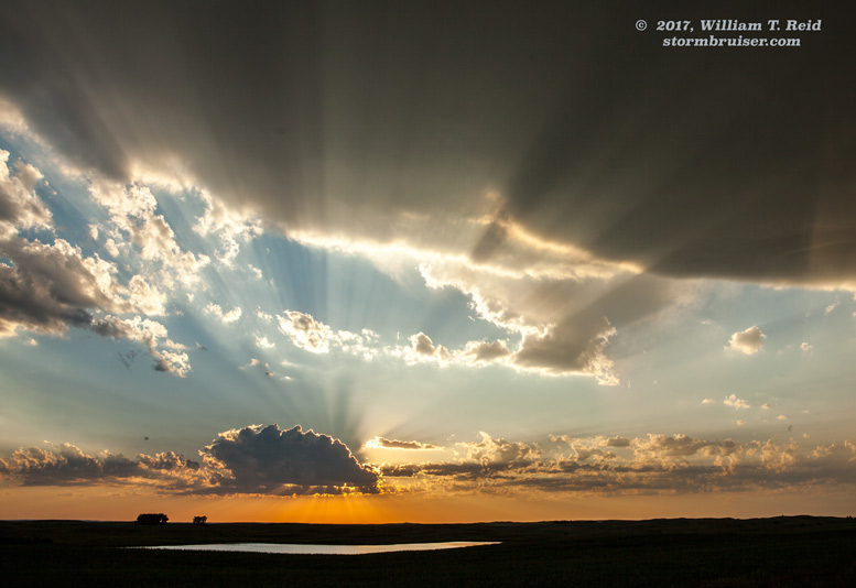
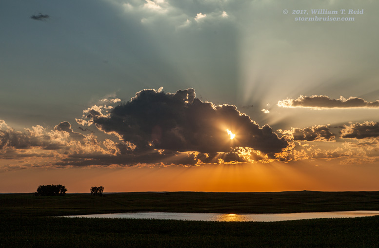
This chase day held some nice potential over North Dakota, but the cap was strong.  We killed a lot of time and drove around some in the Harvey area.  An updraft teased us well to the northeast of Harvey during the late afternoon, and we made an effort to get to it.  It was moving vey quickly to the east, though, and was not surface-based.  Fortunately, I suppose, it struggled and we blew it off before wasting too much time and effort on it.  Other severe storms were well to our SSW, along the SD/ND border.  But these were in hot and relatively dry air and were very high-based.  I was not particularly interested in that stuff.  We drifted south a little as sunset neared, and finally some healthy updrafts went up a little west of Denhoff (northeast of Bismarck).  These drifted to the east and took on some supercellular characteristics, but they fell far short of the magnitude that we were hoping for.  Some evening hail storms came roaring out of Manitoba and into north-central ND, but we were headed south to Steele for the night.


Filed Under: 2017, Astronomy, Cumulonimbus, Sunsets and Storms, Supercells

Leave a Reply

You must be logged in to post a comment.

Search

July 2017
S M T W T F S
 1
2345678
9101112131415
16171819202122
23242526272829
3031  
« Jun   Aug »

Categories

Archives

Copyright © 2025 stormbruiser.com · Log in