A chase day, in July, in western Nevada, and I am in great position when I awaken in Amargosa Valley! This does not happen very often. I had made my way from home to Death Valley on the previous day, and had set myself up for desert thunderstorm observation and photography on this Monday. I was along the CA/NV border near Beatty, and SPC had outlined parts of western Nevada, to my north and north-northwest, with a marginal risk of severe storms. A little upper trough was along the northern California coast, and this feature was providing some marginal mid-and-upper flow over western Nevada, primarily north of Tonopah and Hawthorne. The better moisture, by far, was to my south, towards Las Vegas and Shoshone, and was heading northwestward. Moisture and instability were more than adequate north of Highway 6 (Bishop to Tonopah). I decided to play the middle ground, at the southern edge of the marginal risk, near Tonopah. The convection-allowing models (CAMs) were showing some late-afternoon storm cells near that town, some with a tiny bit of updraft helicity, too.
Some strong convection was in progress shortly after noon well to the east of Beatty, in the Nevada Test Range. It was hardly worthwhile to even LOOK at that stuff. There is no access north-south from U.S. 95 and into the Test Range for about 100 miles. Also, a flash flood warning was issued for storms near Mount Charleston, towards Las Vegas. I was hoping, ideally, for storm development much later in the afternoon closer to Tonopah, where wind shear would be better. Skies were nice and sunny up that way, still. I drove away from the early-afternoon storms and made my way north through Sarcobatus Flats to Goldfield and Tonopah.
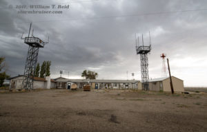
Just south of Goldfield, Nevada, along U.S. 95, is Goldfield Summit. It is at 6097 feet, about 400 feet higher than Goldfield. Above, I include three images of a weather station near the summit. It is the perfect spot for a weather station, as north and south winds certainly get quite strong through this north-south pass during all seasons. There is open land and practically zero obstructions to the station and its wind instrumentation for miles and miles in all directions! Except, EXCEPT, for the solar panel which was placed just to the south of the pole to which the weather station is mounted. Certainly, this massive slab of metal that is pointed towards the midday sun has no affect on the temperature sensor, just a foot or two away. And certainly this massive metal slab which is angled perfectly to direct airflow from the south right up against the anemometer has no affect at all on the measured wind speeds. RIGHT? Seriously, could a weather station and a solar panel be positioned in a more stupid fashion? Ugh.
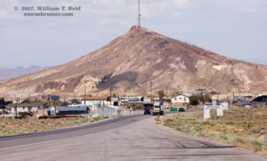
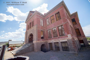
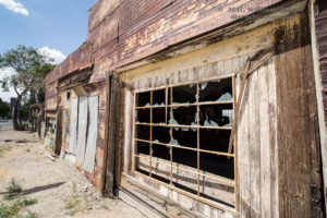
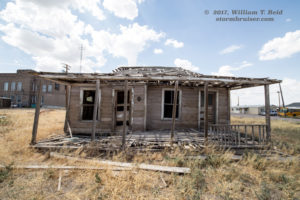
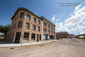
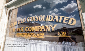
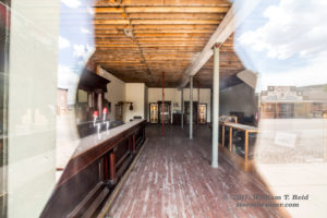
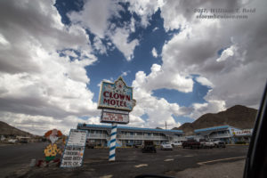
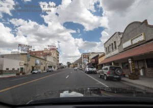
Okay, back to the chase day. After touring some of the old structures in the historic mining town of Goldfield, the cumulus clouds were looking a bit perkier. The radar showed some strong cells between Tonopah and Hawthorne, to my north-northwest. I headed up to Tonopah and waited for the cloud towers nearby to develop. This gave me some time to take some pictures of Tonopah, including the dreaded Clown Motel.
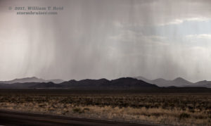
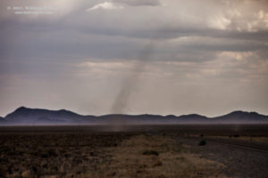
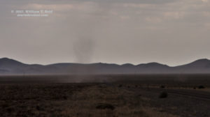
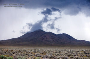
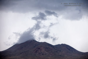
Thunder rumbled over Tonopah, and I headed east on U.S. 6 to Tonopah AP (about 9 miles distant). From here I observed a number of high-based convective cells, and even a weak landspout tornado(?) just to my south. I managed a couple of pics of the landspout, which was beneath a growing cumulonimbus cloud overhead. It lasted for a couple of minutes and was quite weak.
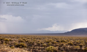
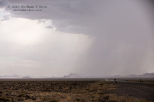
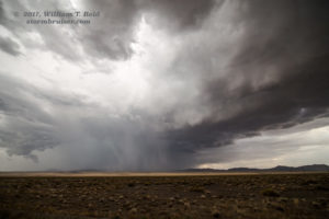
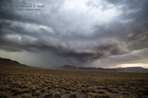
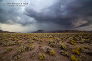
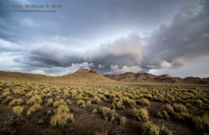
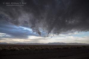
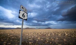
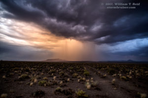
Despite the fun and unexpected landspout, this convection was pretty weak and not all that exciting. The light was still ho-hum as sunset was still a couple of hours away. I called a friend (Bob Smith) to see if there might be a better area to consider, but we determined that this Tonopah area was as good as any other within 100 miles. And, while speaking with Bob, the cell to the northeast (northeast of Tonopah Airport by maybe 10 miles) was getting a decent look, with a wall-cloud-like lowering. It was time to hang up on Bob as un-rudely as possible and to head east on Highway 6! This storm appeared to be a weak supercell, and it held together quite nicely for the next hour or so. I followed it to the east on 6, which was the perfect (and only) route for it and me. The cell threw out quite a bit of cold air, but this air was bumping up against some very humid monsoon air. Low clouds hung from the storm base and even rotated nicely, right above the road! This was in the pass east of Tonopah Airport, and beyond into the next basin, at elevations of about 6000 to 6500 feet. The outflow from the north was chilly — yesterday at this time I was in Death Valley and it was 120F, and today I am freezing in cold storm outflow. It was probably about 55F. The storm exhibited some organized structure for a bit, and the light was quite nice as sunset approached. But, things wound down rather quickly right at sunset. There was a spurt of CG lightning that I tried to catch, with no luck.
This storm was mediocre by Great Plains severe-storm standards, but the landscape and late-day light made the chase very worthwhile!














Leave a Reply
You must be logged in to post a comment.