Weather on this Sunday was exceptional for a bike ride from Nicktown to the north coast of San Nicolas Island. Winds were light and the temperature was perfect. There was some low cloudiness just offshore to the west and northwest, and plenty of mid-level cloudiness in an unstable layer. There might be some showers around, but it never rains in Southern California, right? I got on my bike and zoomed down the steep hill to the shoreline on the north side of the island.
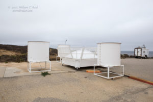
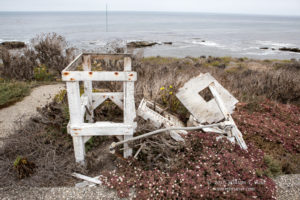
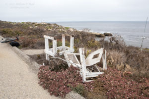
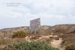
The first stop was the northwest edge of the island. Someone told me that the road to the Tender Beach area was open, but it was not open. This area is closed for environmental reasons. Apparently this northern-most area of the island is a sensitive area with regard to some wildlife or vegetation, and you can’t have humans on (or off of) bikes around there. I came back to the ESE on the dirt road along the coast, and stopped at the balloon launch facility. It had changed some since my last visit: there was a new instrument of some sort making a sinister sound (left-most image above). I will have to find out what this thing does — my guess is it is an atmospheric profiler. Also, the old thermometer shelter was in pieces, a victim of neglect and strong wind and gravity. I have some pictures of it somewhere from a couple of years ago when it still stood proudly. I doubt that it has been in use in the past 5-10 years. A Davis weather station is in operation at this location where weather balloons are launched.
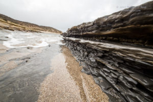
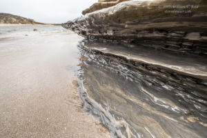
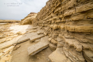
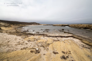
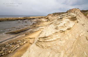
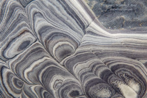
The next stop was Corral Harbor. It was near high tide: not a good time to search out and photograph the exotic marine life in the rocks. So, I opted for some artsy wide-angle shots (see images above). The sun made occasional appearances to help out.
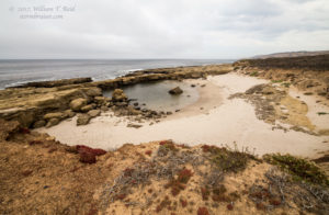
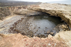
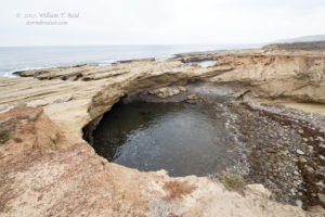
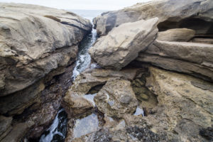
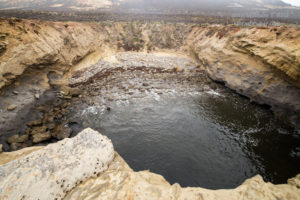
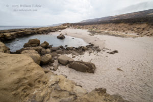
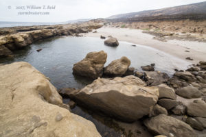
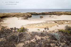
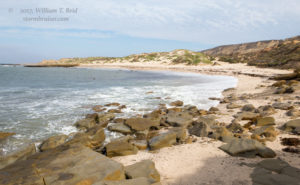
The coastline between Corral Harbor and Tranquility Beach (which is just NNW of Nicktown) is varied and interesting. Small beaches alternate with rocky ledges. Narrow gorges or fissures in the rocks allow sea water to surge inland a bit.
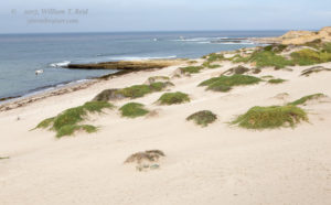
A small, hidden, rock-strewn beach (2nd, 3rd and 5th images below) is easy to miss. Just to its ESE is a larger, sandier beach, thanks to a narrow inlet in the rocks which protect it (images 1, 6, 7 and 8 below). An old map shows “Pirate’s Cove” for this part of the island. I like the name of “Horseshoe Beach” for this welcoming (and unnamed) sandy beach, and we can relegate the pirates to the less comfortable and rocky cove.
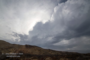
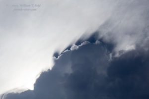
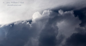
It was about this time that a tiny storm cell with some thunder passed by just to the south. It rained on me a little, and then provided some interesting lights and shadows.
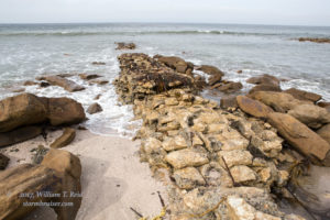
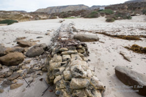
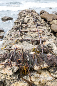
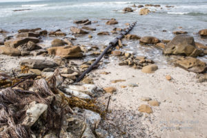
Finally, I made my way back to the area around Tranquility Beach (below). There are some old and abandoned man-made remnants —- I have no idea what they were for. Perhaps this was an area where boat landings were often made prior to the takeover by the U.S. Navy. The wind and weather and swells at Tranquility Beach are typically much less severe than areas farther to the northwest and west.









Leave a Reply
You must be logged in to post a comment.