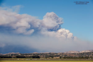
On Wednesday, December 6, I returned from the island at noon and got a good look at the smoke from the Thomas Fire to the northwest (from Point Mugu and Camarillo). It had started on the evening of the 4th, and burned quickly from about Santa Paula to Ventura. The Santa Ana winds were down a little today, but were forecast to increase quite a bit later tonight. I made a trip to the Fillmore area during the afternoon to check it out and to get some pictures.
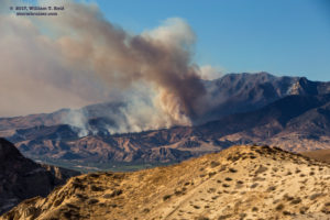
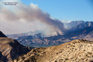
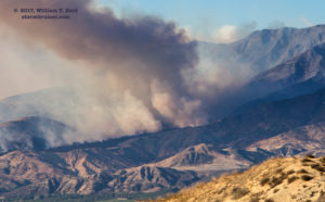
The big smoke plume from the Thomas Fire had diminished considerably now, but an area on the eastern edge (northwest of Fillmore) was somewhat active. However, that sputtered, too, as the winds decreased and air attacks took their toll. It was great that the fire here was diminishing, but I had missed the really big show 24-36 hours earlier because I was out on the island.
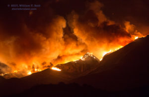
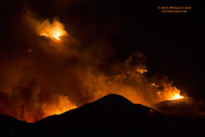
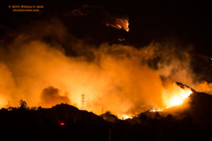
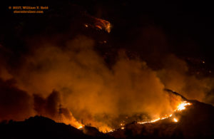
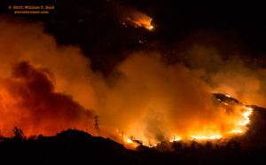
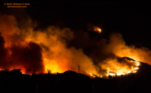
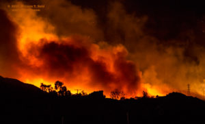
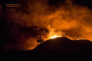
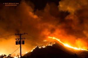
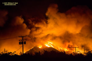
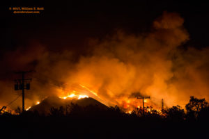
After dinner, I headed back out to the Fillmore area as my sister said that the fire looked quite active again. She lives in Moorpark. So back out I went — about 30 miles from home — and I found a decent spot along Highway 126, a few miles west of Fillmore, with a view of the wildfire to my north. It was about a mile or two distant. The wind was about 15-25 mph, so the fire wasn’t exactly going nuts, but it was active enough to be interesting! There were some ranches and homes up in that area, I presume, but I did not observe any burning structures.









Leave a Reply
You must be logged in to post a comment.