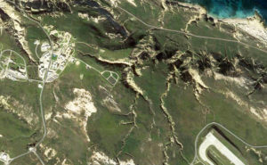
Two days prior to today, I biked from Nicktown on San Nicolas Island to the north-side coast route for some exploring. It is just a dirt road, but let’s call it “PCH-West.” On the ride to the east, the ocean is on my left, and coastal canyons are on the right. The landscape drops rather abruptly from the flat island-top to the narrow coastal section along PCH-West, and many of these smallish canyons and gullies are quite interesting. Two days prior I spotted a small spire formation in a small canyon, so I wanted to poke around that area again. I stopped a little short of “Spire Gulch” and decided to hike up a comparably larger and deeper canyon. None of these canyons are named, as far as I know. Here is how it looks from outer space:
Nicktown is on the left, the west end of the airport runway is on the right, the coast and PCH-West are at the top, and the canyon featured in this post is in the center. It lies below the ponds of the island’s water-treatment facility. A side canyon juts off to the west of the primary canyon (just to the north of the ponds).
So, what to name this canyon? “Water Treatment Facility Canyon” is a bit crude when reduced to its initials, so that’s out. Since I have a nephew named “Nicholas,” I will name it after him: “Nick Crilley Canyon.” (Edit: I later found a map that showed this canyon with the name “Celery Canyon.” Yum.)
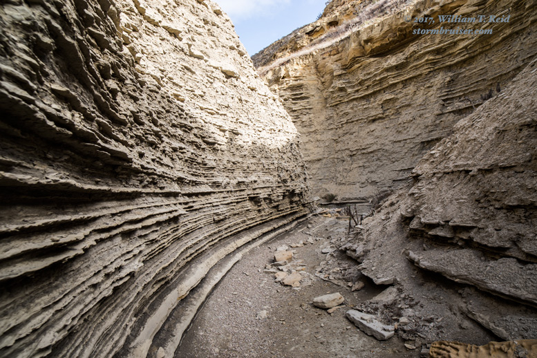
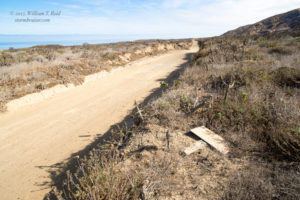
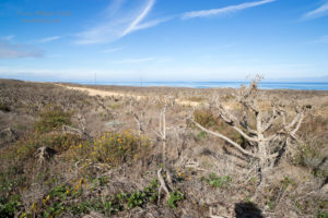
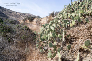
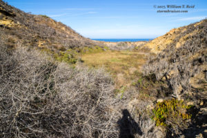
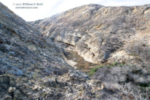
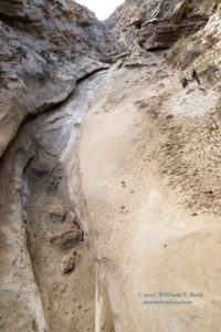
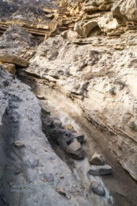
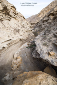
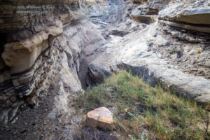
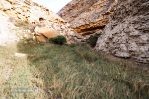
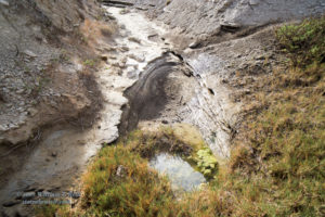
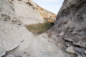
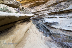
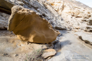
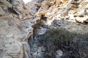
There is no trail into or through the canyon. The hike is not too difficult, though, if you don’t mind clambering over and around some vegetation and rocks. There are rock ledges and narrows and springs, with a tiny pool where the side canyon branches off from Nick Crilley Canyon. Rainfall on the island has been extremely meager since February, so the canyon was dry except for the tiny pool. The first batch of images below were taken near the road and near the entrance to the canyon.
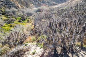
And the images below are deeper into the canyon, to the pool and slightly beyond.










Leave a Reply
You must be logged in to post a comment.