Stormbruiser.com

William T. Reid

  • About
  • Video Links
  • Climate
  • Categories
    • Astronomy
    • Aurora/Northern Lights
    • Artsy
    • Airports (LAX and VNY)
    • Animal Day
    • Beach
    • BEST and MOST POPULAR
    • Chase Season Summary
    • Chasers and friends
    • Cumulonimbus
    • Death Valley
    • Desert
    • Desert/Mountains
    • Elevated photography
    • Eyesores
    • Fire
    • Flooding
    • Hurricane
    • Landscapes
    • Lightning
    • Local: Conejo Valley/San Fernando Valley
    • Mid and High Clouds
    • Nighttime photography
    • Old Stuff
    • Rainbows/Optical Phenomena
    • San Nicolas Island
    • Storm Video Sales
    • Stormy Skies
    • Stupid Bugs
    • Sunsets and Storms
    • Supercells
    • The City
    • Tornadoes
    • Unusual Clouds
    • Vegetation
    • Wind and Dust
    • Winter Weather
  • Contact
You are here: Home / 2018 / January 18, 2018 Panamint Valley and Rainbow Canyon

January 18, 2018 Panamint Valley and Rainbow Canyon

January 18, 2018 By Bill Leave a Comment

180118_7480_Rainbow-Cyn


There are a few Stormbruiser entries for this date, on which I visited Owens Valley and Panamint Valley.  This entry is for the time spent in and around Rainbow Canyon, which is on the west side of the northern part of Panamint Valley.

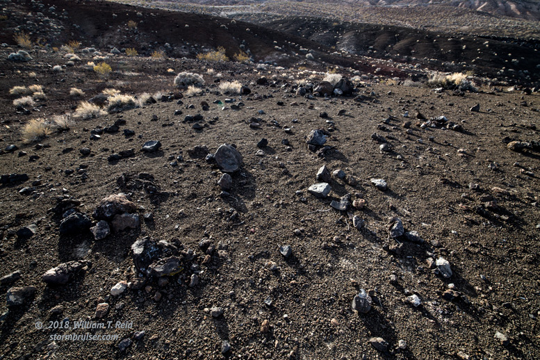
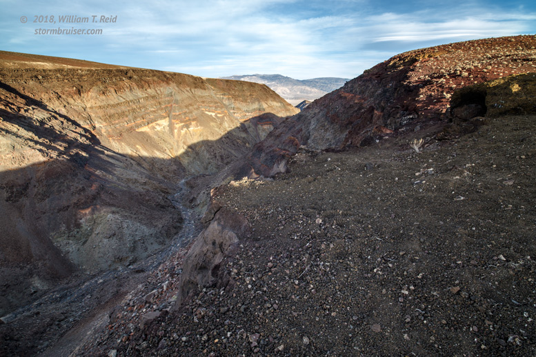
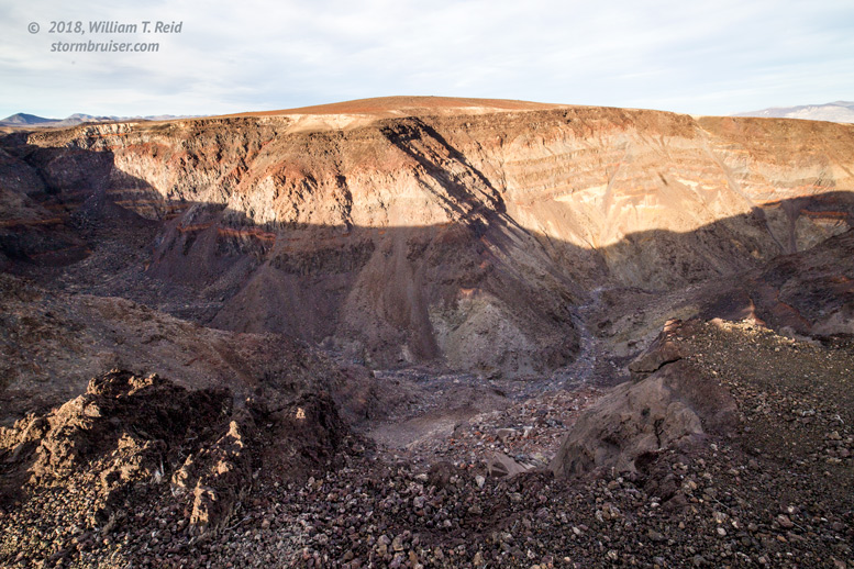
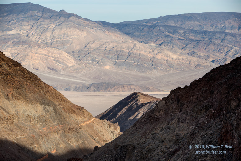
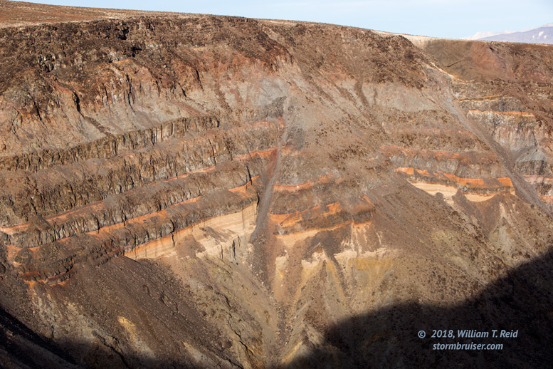
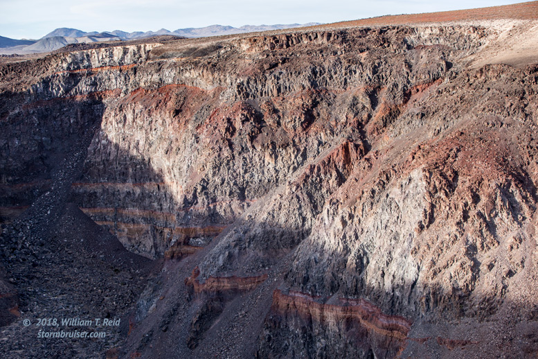
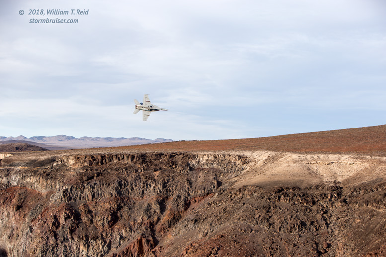
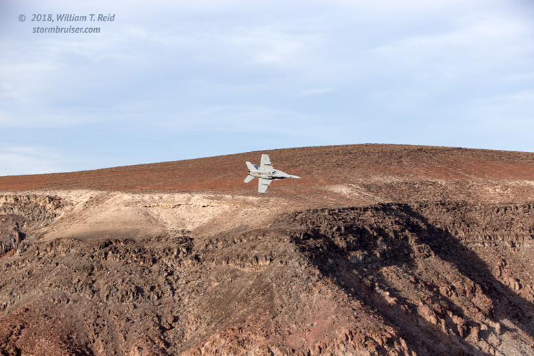
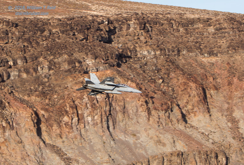
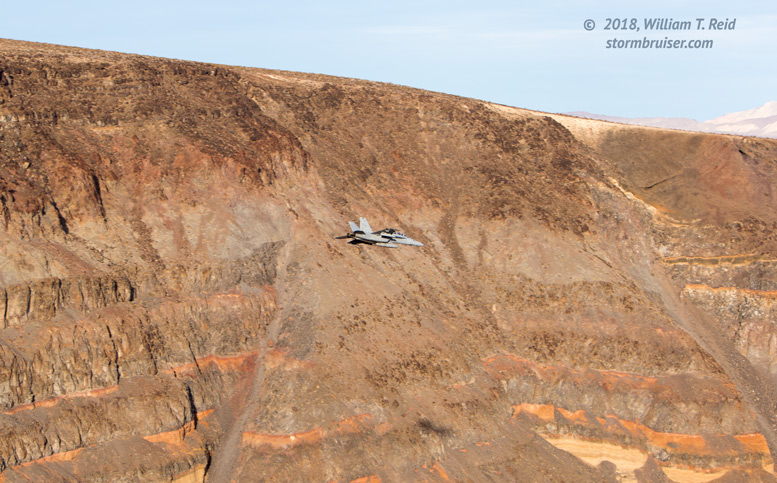
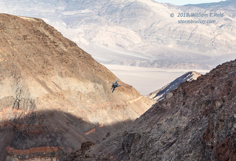
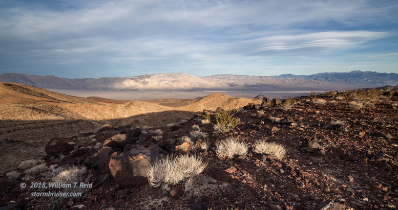
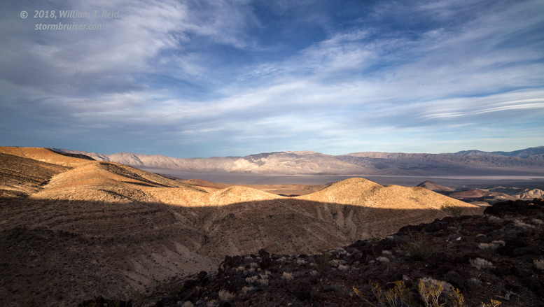
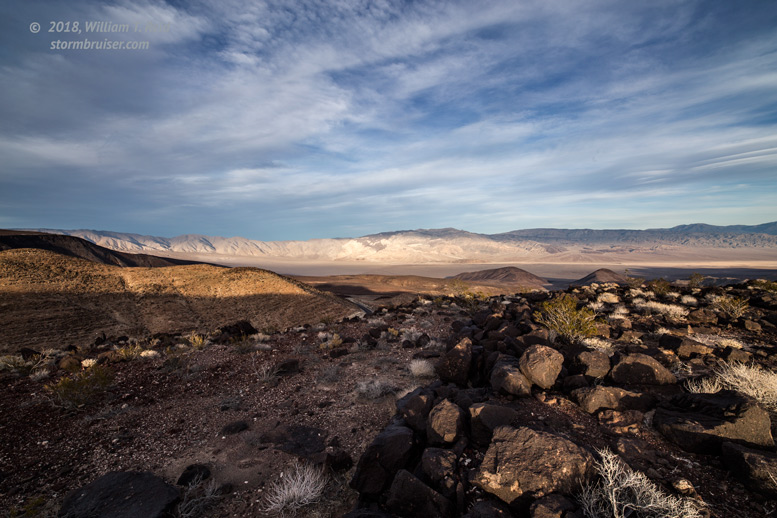
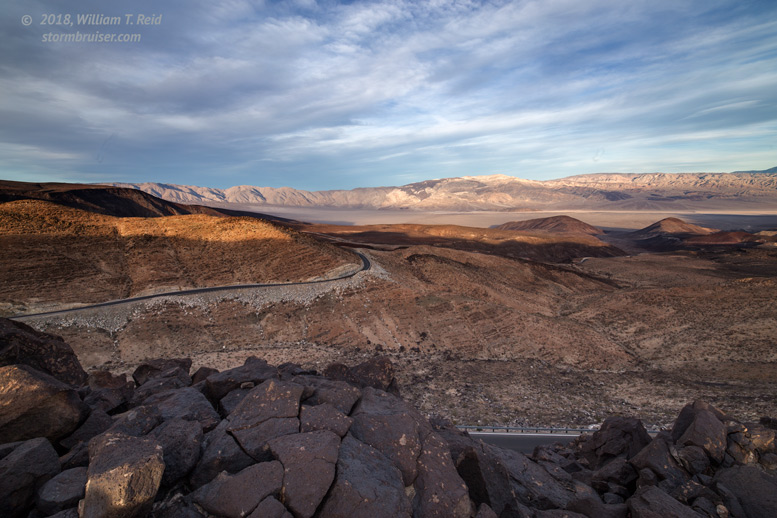
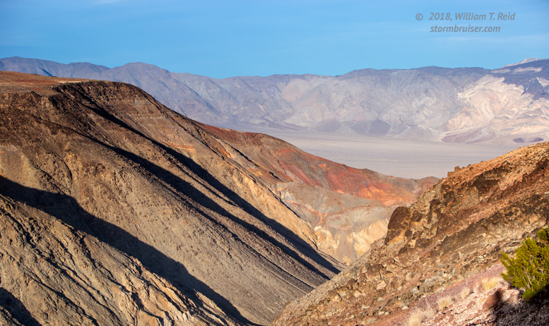
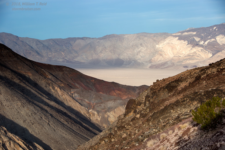
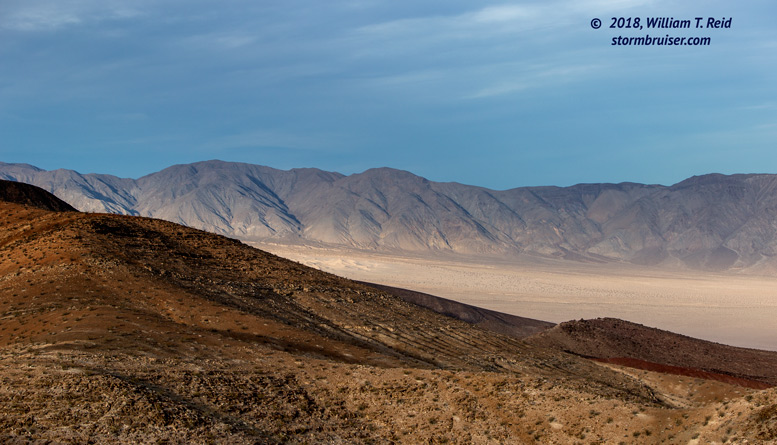
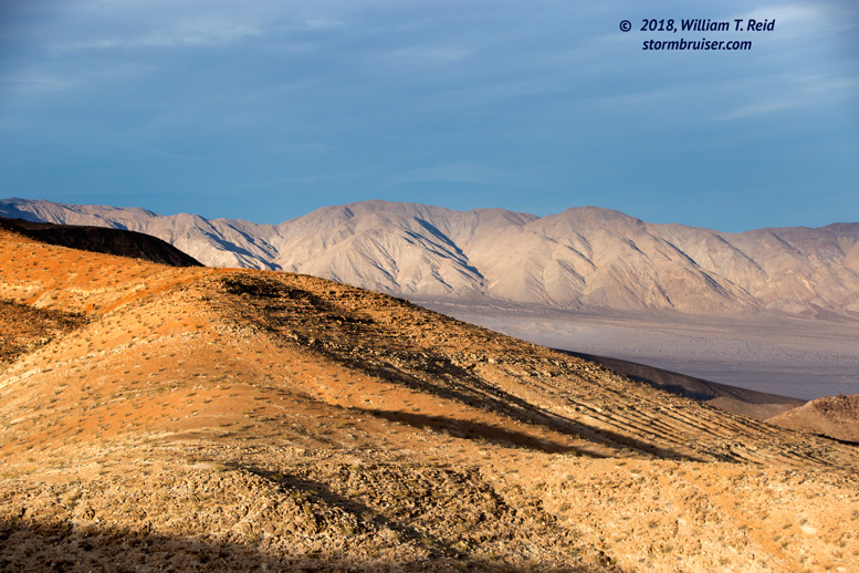
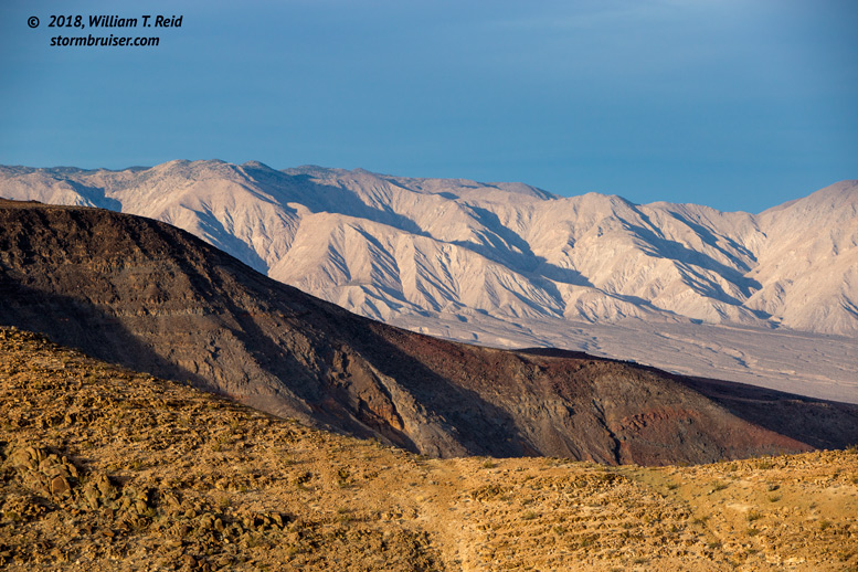
The images below were taken near the pullout along Highway 190 to view Rainbow Canyon.  The ground has a dark volcanic look to it, and the striated canyon colors were nice in the late afternoon sunlight.


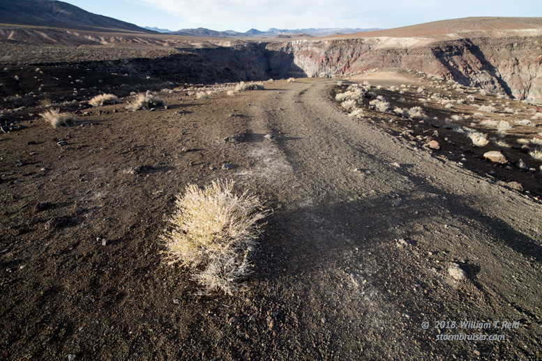
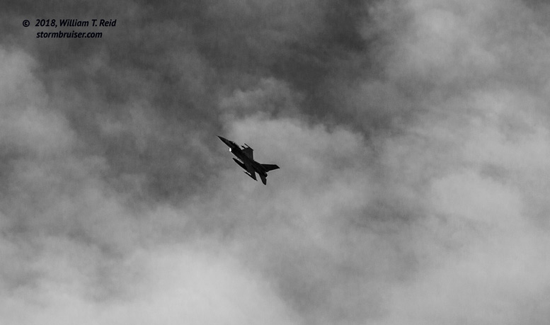
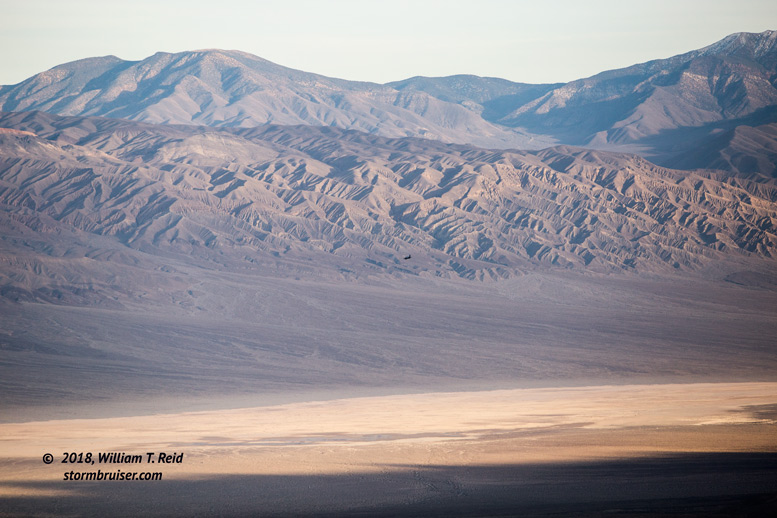
The canyon and Panamint Valley are a favorite for military fighter jet training out of China Lake Navy Base, and I managed to get some images of a fighter as it whipped through the canyon.  It is not unusual to be “buzzed” by these while driving through Panamint Valley.


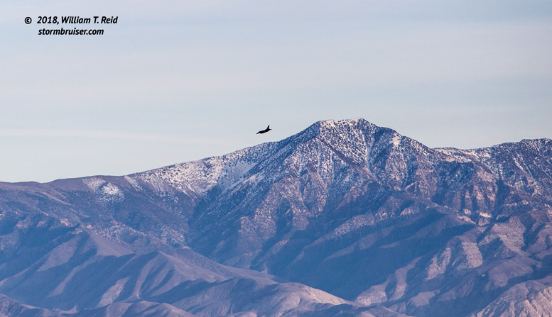
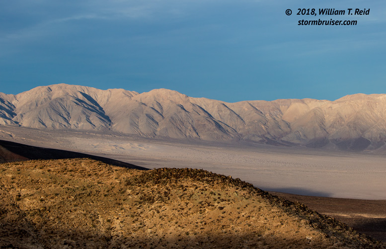
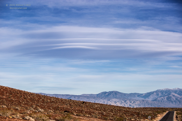
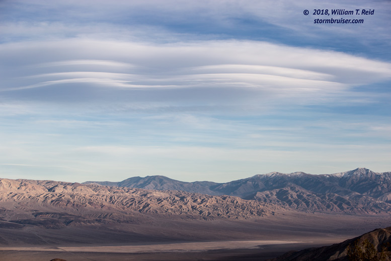
The lenticular cloud which had drawn me east from the Owens Valley continued over Telescope Peak in the Panamint Range.  The light towards the east, over the Panamint Valley, improved dramatically as the sun lowered in the west.  The northern playa of the Panamint Valley and the Panamint Dunes are visible in some of the images below, all shot from Highway 190 along Rainbow Canyon.  The final Stormbruiser entry for this day trip will showcase the evening sky and lenticulars from the Panamint playa.


text

Filed Under: 2018, Airports (LAX and VNY), Death Valley, Desert, Landscapes

Leave a Reply

You must be logged in to post a comment.

Search

January 2018
S M T W T F S
 123456
78910111213
14151617181920
21222324252627
28293031  
« Dec   Feb »

Categories

Archives

Copyright © 2025 stormbruiser.com · Log in