Start: Wichita, KS
End: Pauls Valley, OK
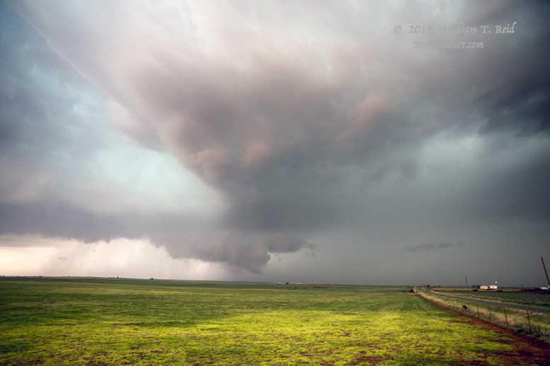
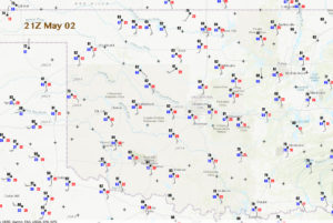
There was a large moderate risk and a large 10-percent-hatched tornado area in the SPC outlooks today. I was pulled towards western Oklahoma and the dry line, where instability was quite high and surface winds were backed a little in the warm sector. We stopped near Hammon (north of Elk City) and watched a large cell or two approach from the TX/OK border.
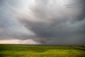
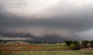
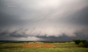
The supercell above showed somewhat good structure, but there was a lot of precipitation in the updraft region. The storm looked rather ugly, and, like the day prior, I elected to try the next storm south on the dry line. Dew points were better towards southwest OK, so that should help.
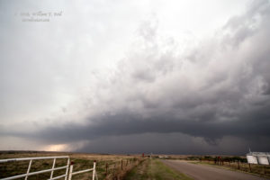
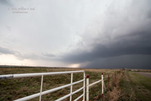
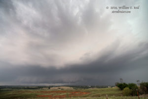
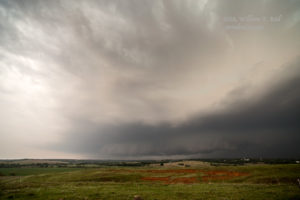
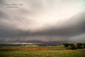
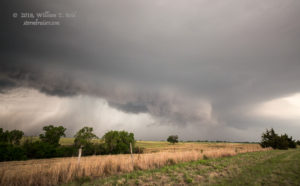
We charged south via Weatherford to the Alfalfa area, where we had a good look towards the WSW (into the notch) of a supercell which had produced a tornado earlier, near Mountain View. A wall cloud firmed-up nicely and the storm teased us, but no clear-cut tornado materialized. As the supercell chugged towards us and the Binger area, the action area seemed to elongate some and the tornado threat diminished. We found ourselves in a decent CG barrage around Binger as we stayed in front of the hail core.
The remainder of the chase was rather ho-hum. There was a lot of chaser and looky-loo traffic in the Anadarko and Chickasaw area, and the storms were merging and becoming messy. As dusk neared, we ducked into a Braums at Purcell on I-35. This was right in front of strong storm, and the wind and rain soon engulfed us. A tornado warning was issued for our area, and the management at Braums guided most of those inside into the coolers. I showed one of the managers the radar picture. It looked to me like any dangerous area was well off to our north or northeast. She agreed and I was able to eat my burger in an almost-empty dining area.
There were about 20 tornado reports out of OK and KS on this day, but I am not aware of any tornadoes which were particularly strong, significant, and photogenic.
—– May 3 —–
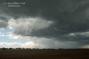
On the following day, May 3, we found ourselves in between two slight risk area. One was in northeastern Kansas, and one was in far southeastern OK and vicinity. The KS chase option was much more appealing, but this was the final chase day for this tour (out of OKC) and the setup did not look quite good enough to warrant the long drive up to the KS/NE/IA area. Instead, we tried the Wichita area and watched a storm which organized briefly but sputtered thereafter.


Leave a Reply
You must be logged in to post a comment.