Begin: Gettysburg, SD
Lunch: Mitchell, SD
End: Fort Dodge, IA
507 miles
From north-central South Dakota, we headed towards an outflow boundary in northwestern Iowa. Storm development appeared likely here by late afternoon, but deep-layer shear was mediocre, instability was so-so, and temp/dew point spreads were on the high side. Still, SPC showed this area in a 2 percent tornado risk and a marginal severe risk.
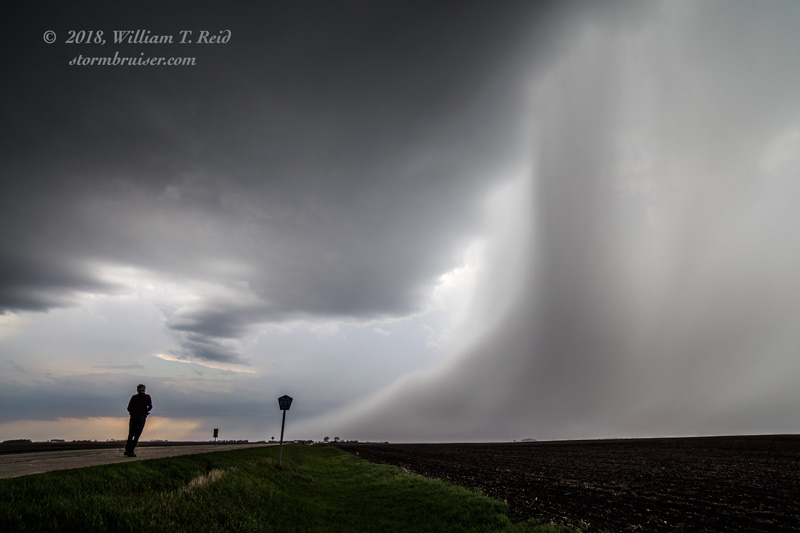
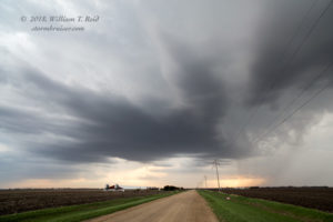
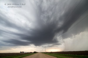
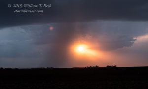
We dropped south from I-90 in extreme southwestern Minnesota and found the boundary. Eventually a storm tower or two or three developed, and the bases spun a little. They were high-based, and the last one fizzled as the sun headed towards the western horizon. The chase day wound up a being a bit less exciting than our initial low-end hopes. These storms were near Laurens and Mallard.



Leave a Reply
You must be logged in to post a comment.