Start: Roswell, NM
Lunch: Artesia/Henry’s BBQ
End: Alpine, TX
373 miles
SPC was not particularly keen on supercell prospects today, with a marginal risk of severe storms in place for eastern NM and western and southwestern TX. I don’t recall my morning weather briefing to the tour group in Roswell, but when we started out of Roswell (after a visit to an alien museum), we were going towards the northeast, towards Portales. Bob Smith recalls that I may have been looking at the Raton Mesa and Clayton area. But after looking at some additional forecast information late morning, I had Bob Smith turn us around some 10 miles out of Roswell. The severe weather prospects appeared to be better to our south, down towards Pecos and Saragosa. I think that CAMs were persistent in showing a big supercell near I-10, and forecast bulk shear values in that region were not bad at all.
We had a decent BBQ lunch in Artesia and continued southbound through the busy and heavy-traffic mess of the Orla, TX, oilfield area. There is even a big truck stop/convenience store now at Orla! This used to be the Outer Boondocks of Nowhere, but now thousands of white pickup trucks and oil trucks are clogging the highway. It can be a nightmare if you are passing through and trying to quickly get to a storm. Fortunately, the storm development to our south, near Saragosa, would not get strong until we arrived.
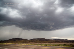
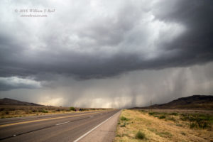
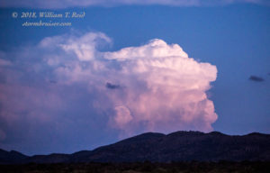
A strong storm was just south of I-10, near Balmorhea. Which way would it move? The road network here is pathetic, so it was important to make the right road choice. A hail core was near Toyahvale (SW of Balmorhea), but I figured that we wanted to be south of Toyahvale. Into the core we went. The radar suggested that the hail might be larger than one-inch in diameter, but we saw just nickels and dimes and a lot of heavy rain. We emerged unscathed, and stopped along Route 17 about ten miles south of Toyahvale. The strong storm, now to our north, had a decent base and plenty of precipitation. It sported a high-based updraft.
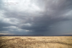
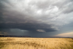
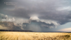
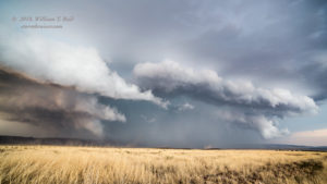
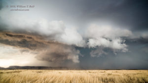
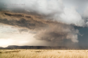
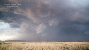
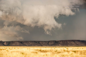
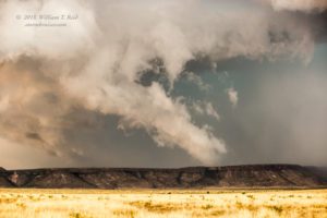
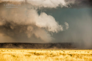
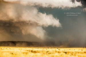
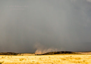
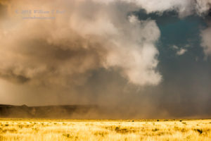
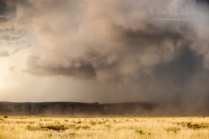
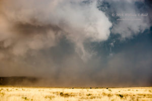
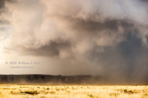
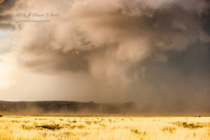
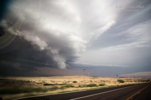
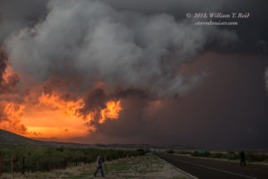
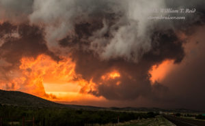
New development went up to our east, I think. We needed to get into position on this, perhaps south of it. We motored south to Fort Davis and then to Alpine, and continued northeast of Alpine several miles on U.S. 90. Once stopped, we had a good view of the strong and fairly discrete storm to our NW. Another strong storm was to our WSW (down 90). The storm to the NW quickly organized and soon featured a nasty lowering with dust beneath. We now had a developing supercell, and there was a strong attempt at a tornado! See the zoomed-in shots below. There may have been a little too much outflow for tornado development.
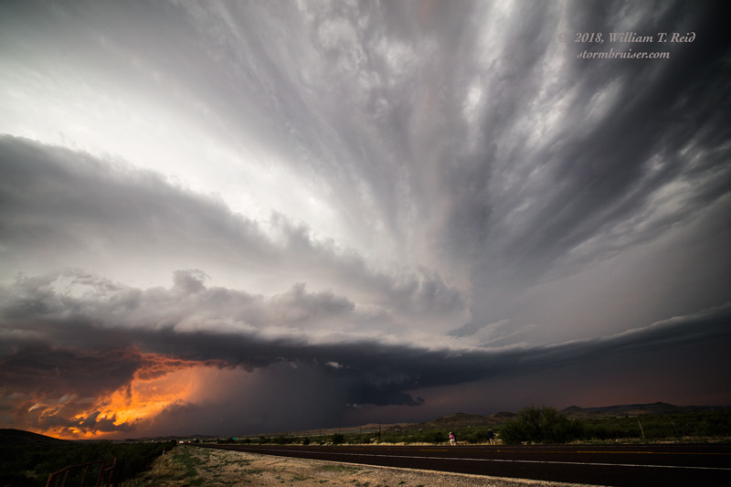
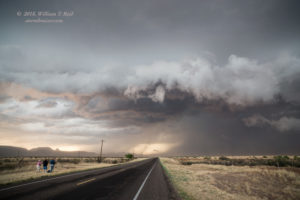
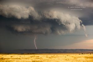
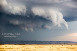
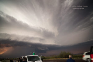
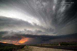
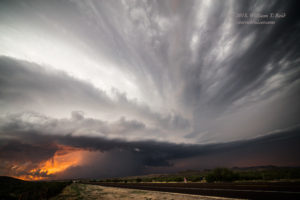
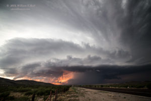
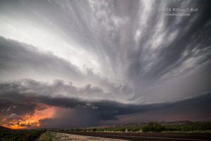
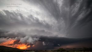
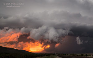
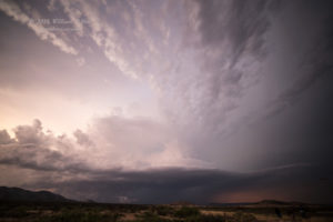
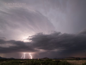
The supercell to our northwest was headed right for us, so it was time to scoot to the east on 90. We stopped a mile or two east of its junction with U.S. 67 (about ten miles east of Alpine). From here, our view to the west and WNW was spectacular, with a nicely sculpted updraft, inflow band, orange sunset colors, and plenty of anvil lightning to our north! Wow!
This was definitely a bit better than expectations, and I am glad that we turned around northeast of Roswell!
The supercell looked great for perhaps 20-30 minutes, and then it weakened. A tornado warning was issued for the Alpine area, but no tornado occurred, as far as I know.

Leave a Reply
You must be logged in to post a comment.