
Begin: Alpine, TX
End: Portales, NM
There was a risk for severe weather on most of the High Plains today, and SPC was favoring areas north of I-80. Our group was south of I-10, at Alpine! Fortunately, there appeared to be a good severe-weather play in eastern New Mexico, as a tongue of low-level moisture was heading northwestward through the Carlsbad and Artesia area onto the higher terrain. SPC figured this out in time for the 20Z outlook, and upgraded to slight risk for most of eastern New Mexico. Still, they showed no tornado risk. I was hoping for a nicely-sculpted supercell later on during a lunch stop in Carlsbad.
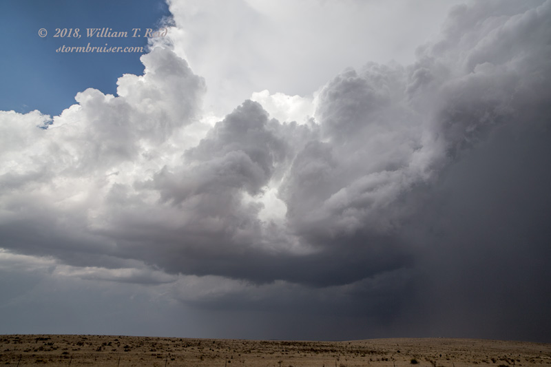
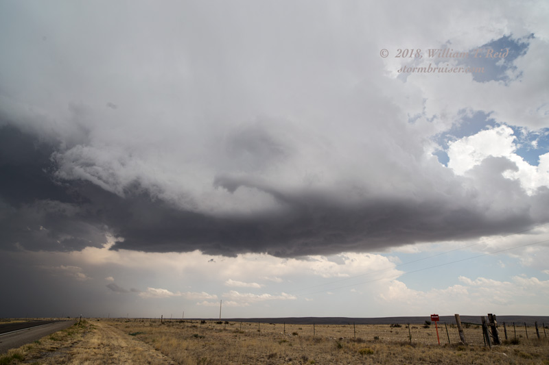
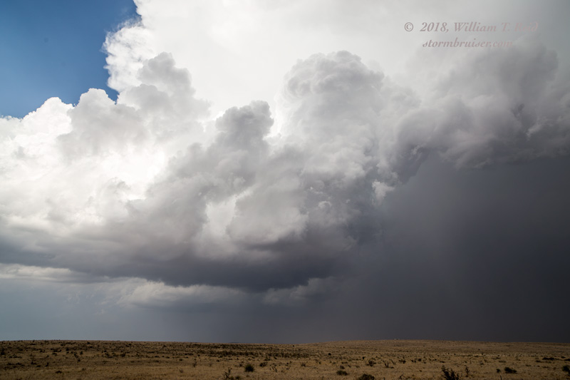
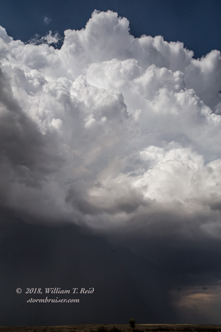
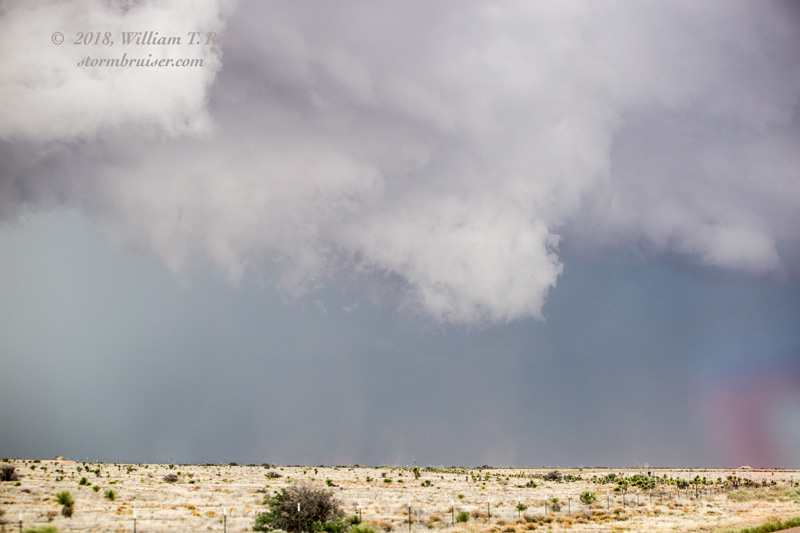
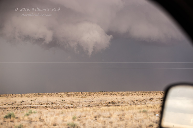
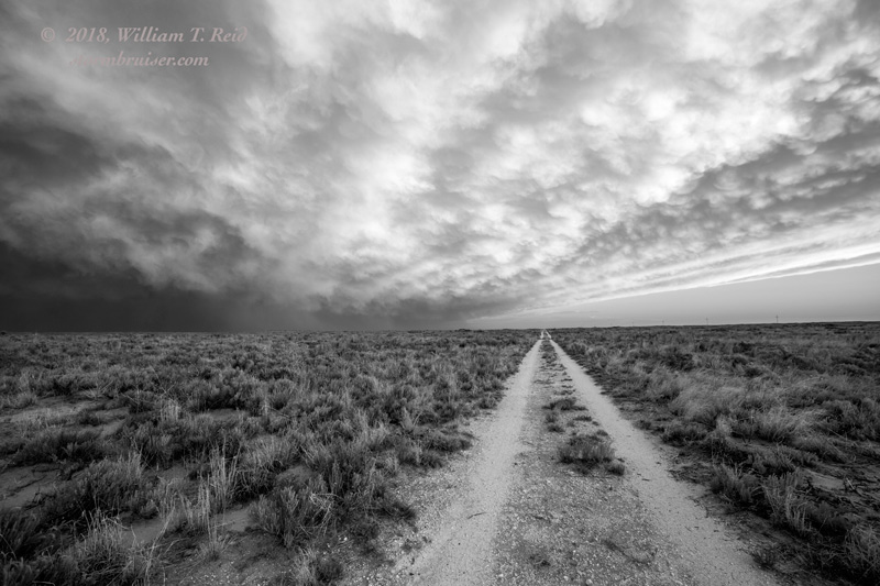
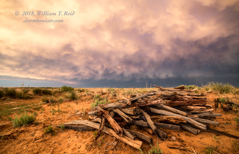
Strong storm towers were already going up just west of Carlsbad right after lunch! I liked the area west of Roswell and Artesia, so we continued north out of Carlsbad and then west on 13 (between Artesia and Roswell). About this time, a supercell with a good-sized tornado was in progress to our WNW, near Picacho. We could see the storm and the anvil, but were too distant to see the tornado. We continued to the west a bit, but the road network did not provide a good route to the tornadic storm. And, unfortunately, the storm was moving to the east or to the ESE rather slowly. We wound up hanging out in the middle of nowhere watching some new updrafts develop to our northwest, and then to our south and southeast. A cell or two near Hope, NM, looked okay briefly, but that magic moment in time which supported the nice supercell near Picacho was lost as things got messy around us.
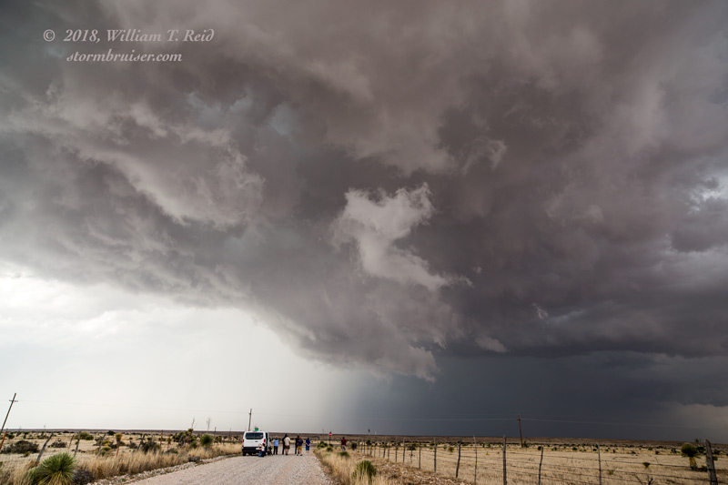
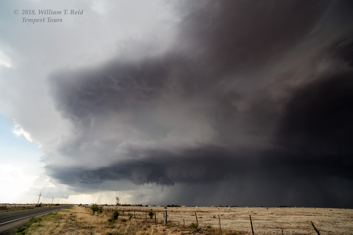
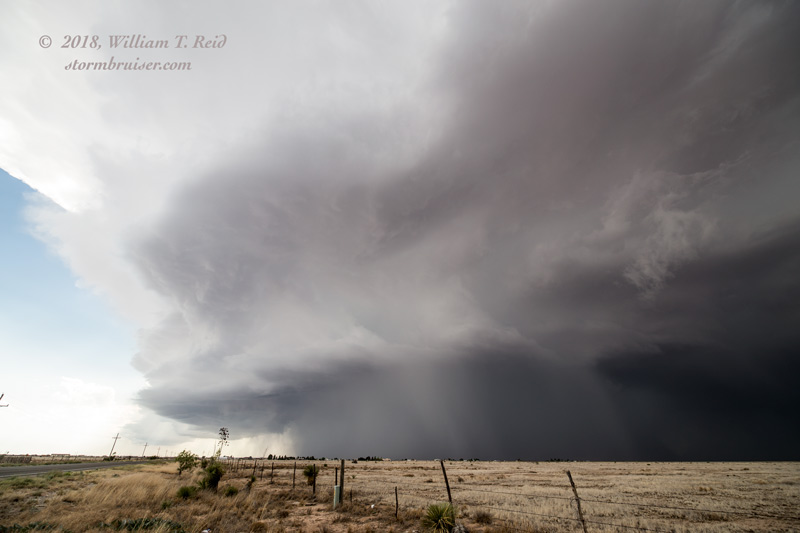
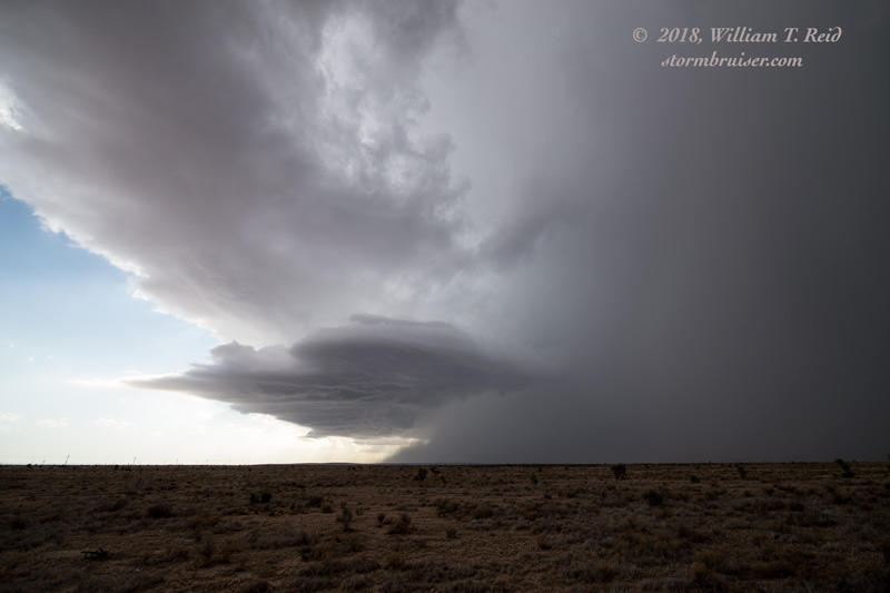
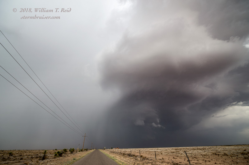
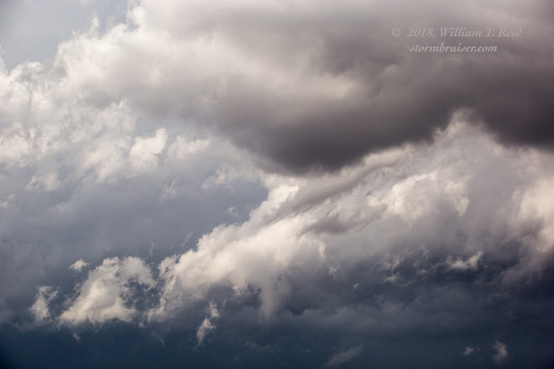
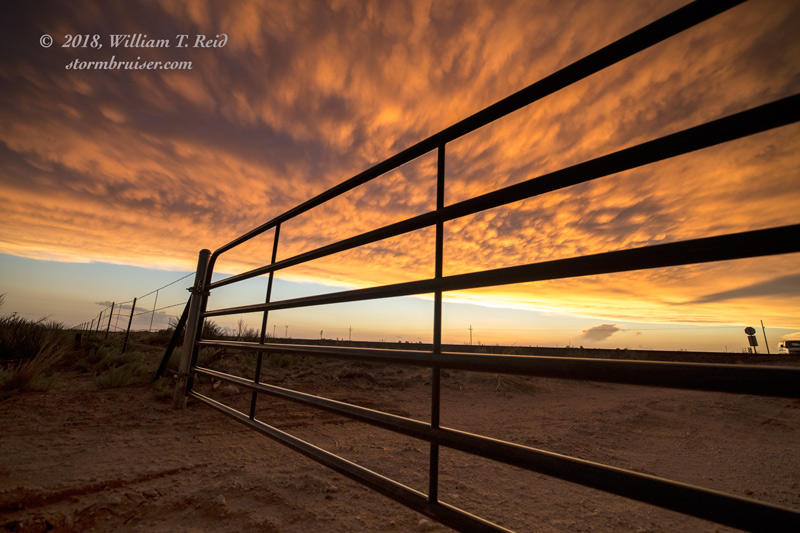
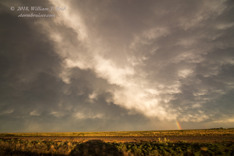
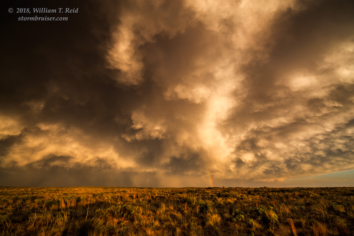
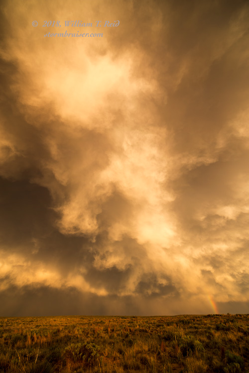
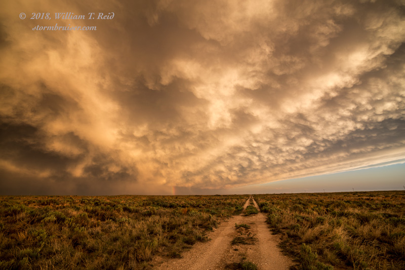
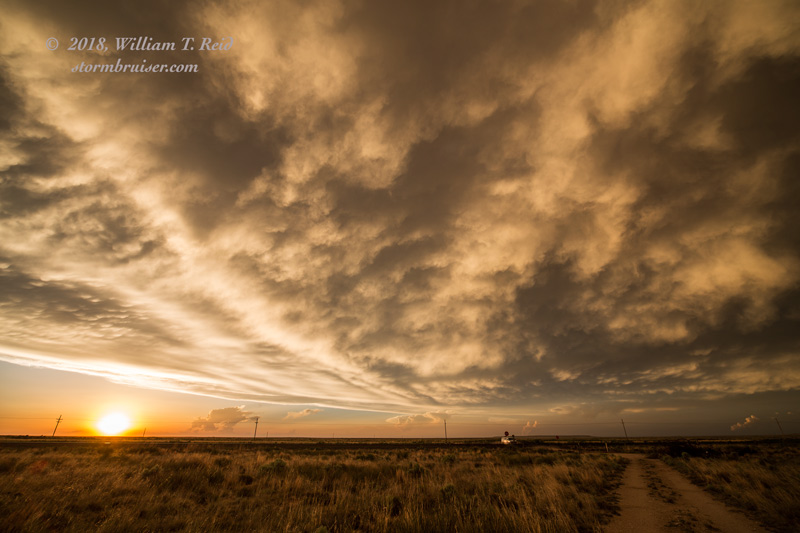
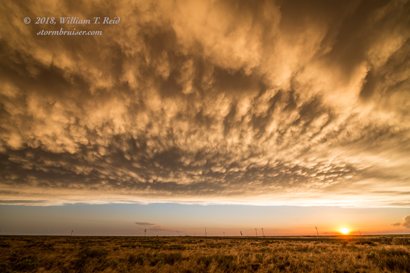
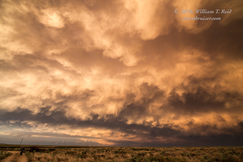
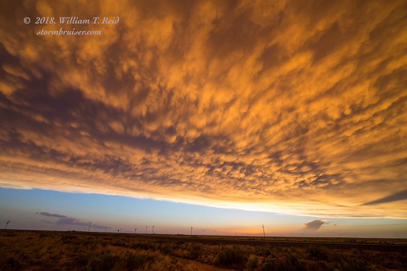
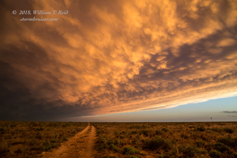
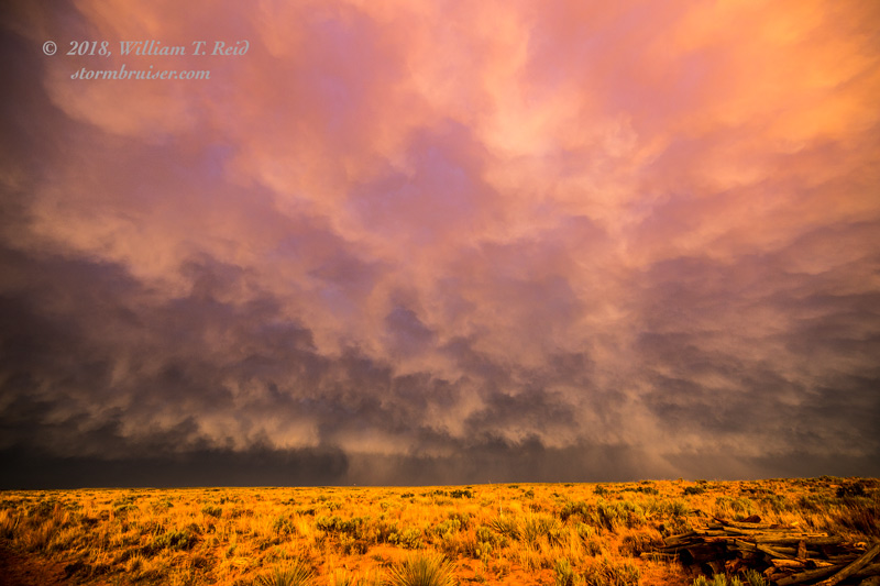
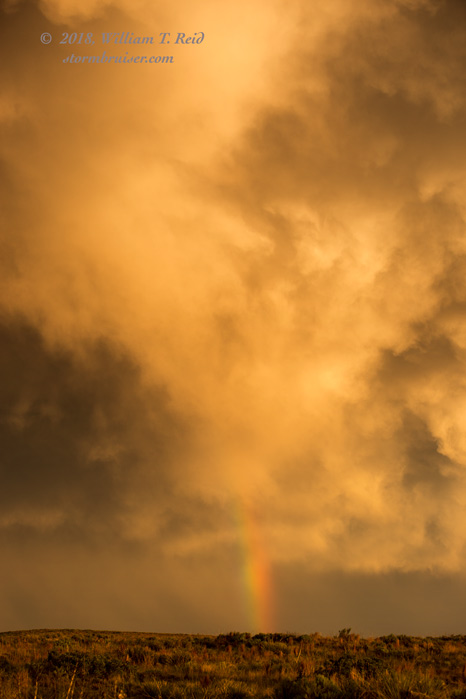
New storms went up east of Artesia, and east of Roswell. The environment for these was not that good. We went back up to Roswell and then northeast towards Portales, and had a good sunset with the mammatus display behind the convection.
Leave a Reply
You must be logged in to post a comment.