
Start: Burlington, CO
Brunch: Burlington/VFW joint
End: McCook, NE
420 miles
SPC Mesoscale Discussion 539 SPC Mesoscale Discussion 540
SPC Mesoscale Discussion 542 SPC Mesoscale Discussion 544
SPC Mesoscale Discussion 545 SPC Mesoscale Discussion 546
SPC Mesoscale Discussion 547 SPC Mesoscale Discussion 548
Some good energy out west was moving over the High Plains this day, and instability was looking really good in parts of western Nebraska and northeastern Colorado and adjacent areas. SPC upgraded to an enhanced slight during the afternoon, but kept tornado prospects low, at 2 percent. An assortment of SPC maps in the mesoscale discussions above will provide some info on the meteorology this day. I elected to play the higher CAPE area of southwestern Nebraska, but the storms here (near Imperial) were rather junky and not well-organized. In the meantime, tornadic storms were cranking in the Laramie and Cheyenne areas…darn. I had not considered that area. Was the upper-level energy too far west still during the afternoon convection for my target area around extreme northeastern Colorado? Perhaps. I have effectively forgotten the details from this day.
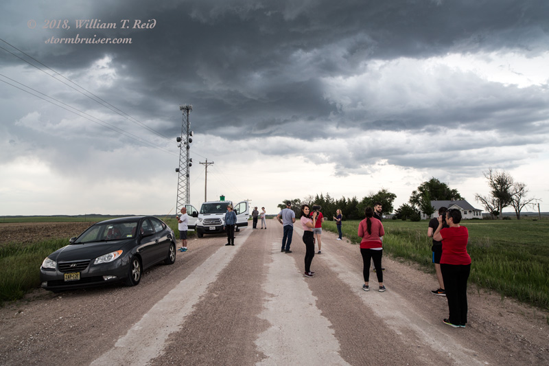
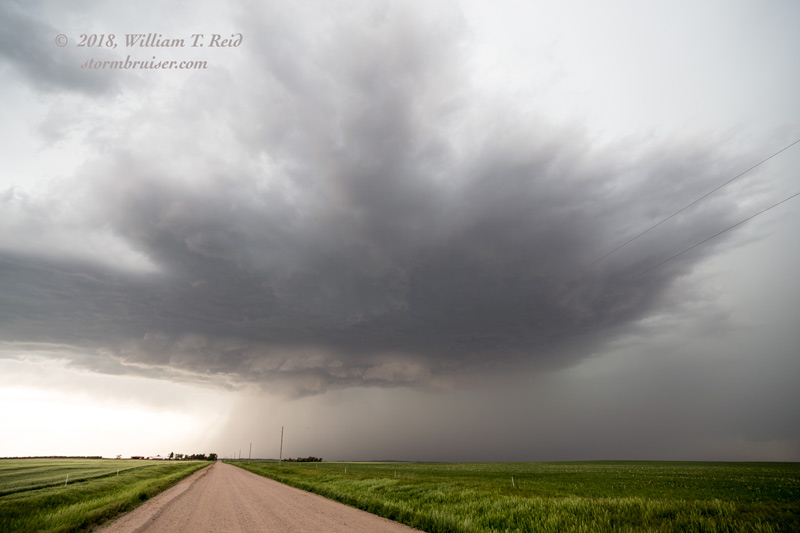
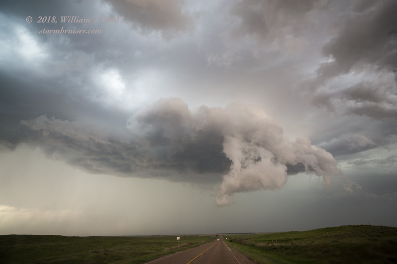
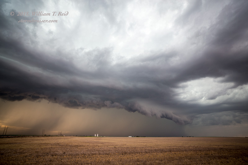
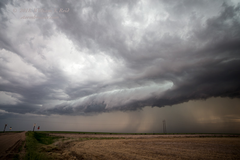
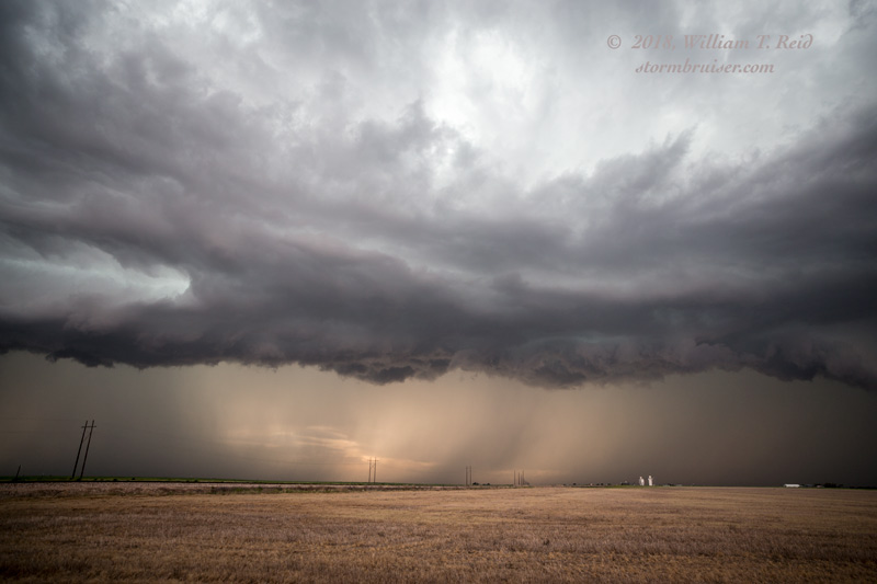
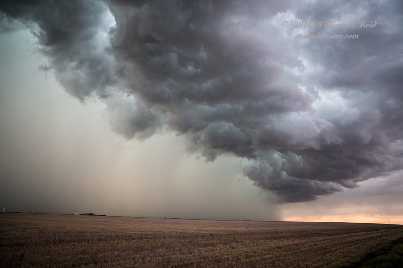
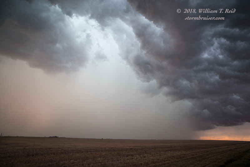
The stills above are for the cell north of Imperial, I think. It sputtered, and we headed back WSW to west of Holyoke for a rather linear-looking storm. I think that storm bases here were high, and outflow and congealing storms developed quickly. We headed back to Holyoke, where I should have headed south to the tail end. But we continued to the east, and wound up in a lot of heavy rain. A decent storm was around St. Francis, KS, at dusk. This was not one of my better days as a storm chaser, but the following day made up for it. The pics below were taken west of Holyoke, CO.
Leave a Reply
You must be logged in to post a comment.