
Begin: Woodward, OK
Lunch: Boise City, OK/Dairy Queen
End: Guymon, OK
437 miles
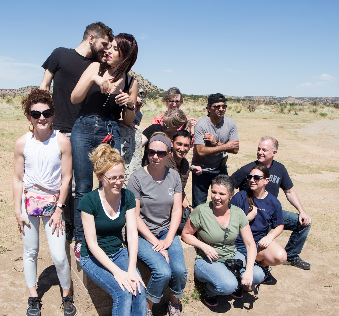
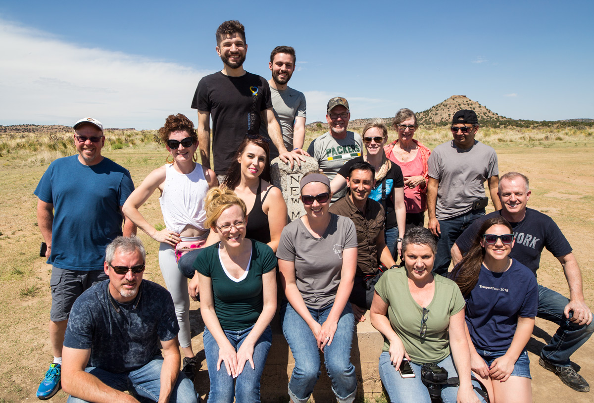
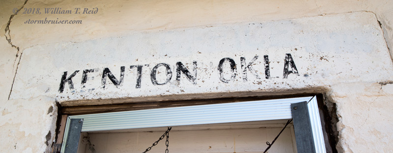
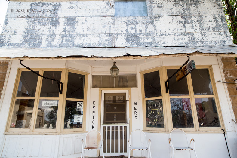
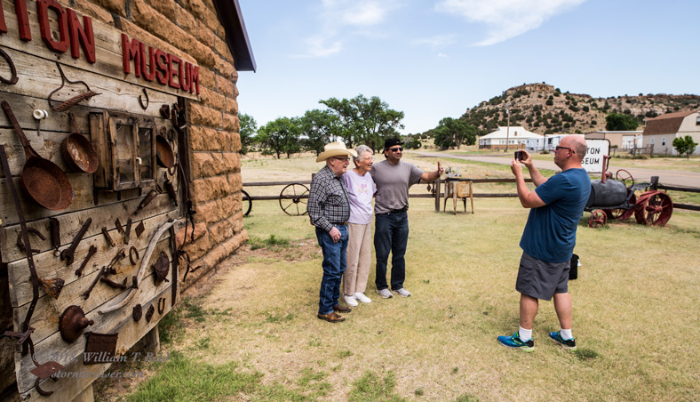
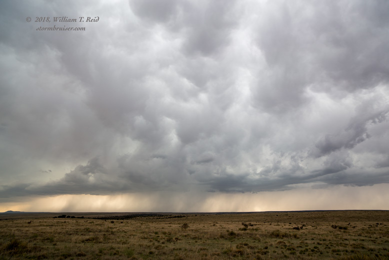
Today’s forecast was relatively easy — head west from Woodward, get into the western Oklahoma Panhandle, watch storms form and move eastward into better instability. After lunch in Boise City, we had a little time to kill while waiting for development on the Raton Mesa. We stopped at the World Famous Monument where NM, OK, and CO meet, and then hung out at the Kenton museum for a bit.
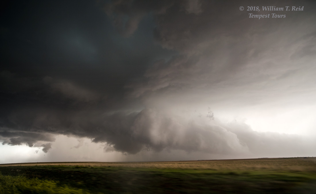
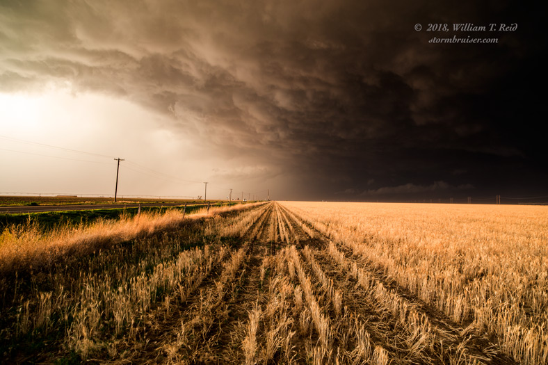
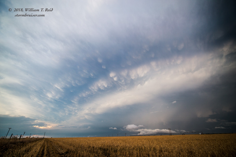
A storm started to come together nicely near the much-less-famous TX/OK/NM monument. We stayed with it in the vicinity of Felt, OK, and eastward to Kerrick, on the OK/TX border on 287. The storm evolved into a great supercell with a turbulent and ragged base, with a wall cloud and a couple of attempts at tornado development. The base was a tad on the high side, though, and I think that a slight undercutting of cool air was hostile to tornado formation.
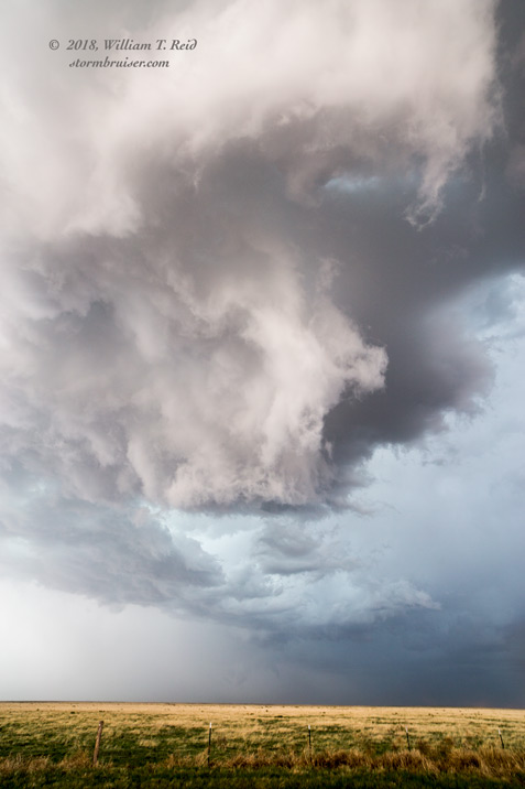
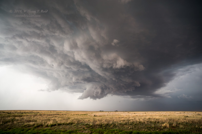
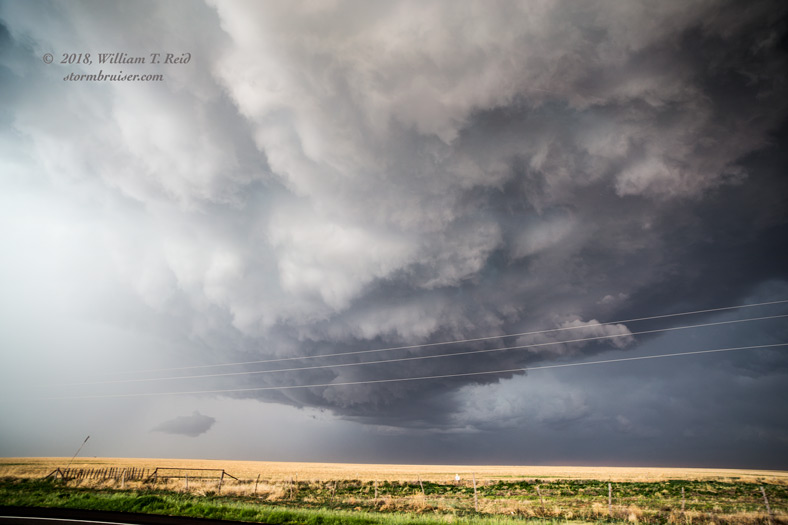
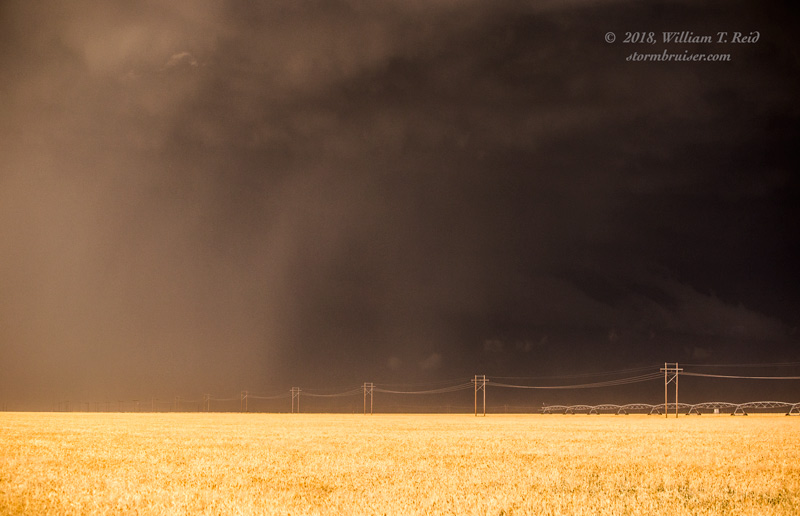
The supercell was moving east to ESE, just south of the OK/TX border, and we bolted down 287 to Stratford in order to get close again along U.S. 54 towards Texhoma. Here, a blob of precip descended, and the base began to wrap up and tighten nicely, and I thought that we might have something going. We needed to get to the southeast, though, as the storm was now on the south side of 54. I decided to chance the hail, and to head up to Texhoma where I could drop south in front of the storm along FM 1290.
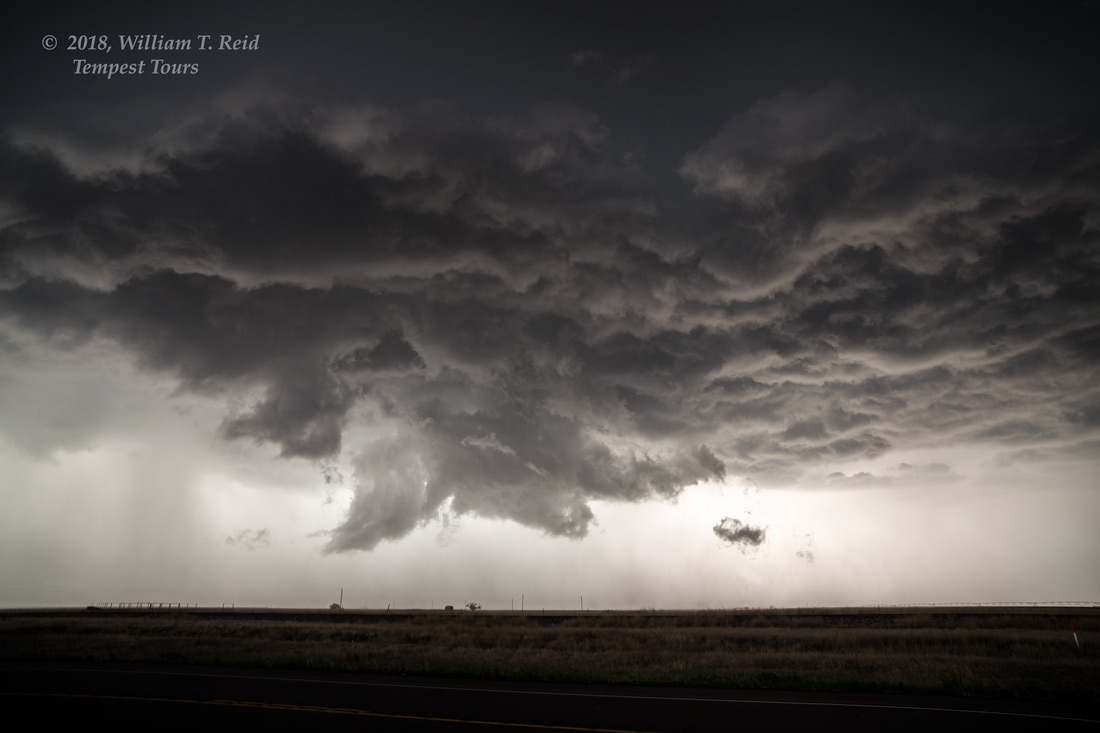
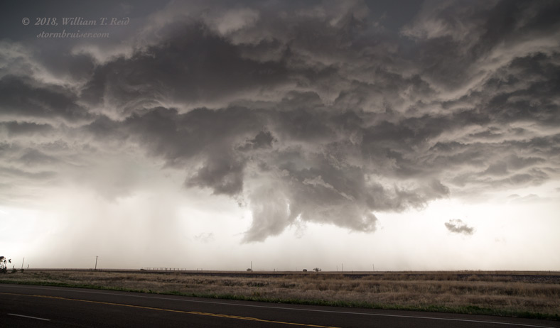
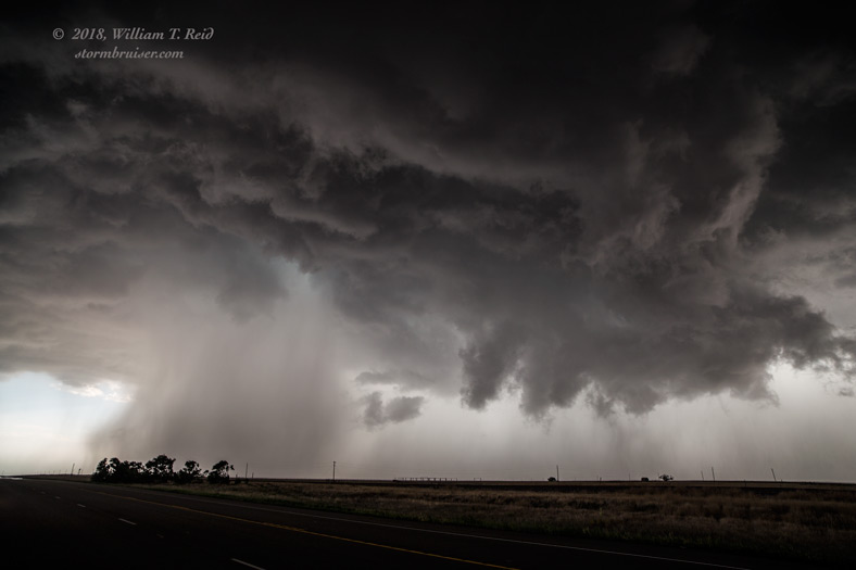
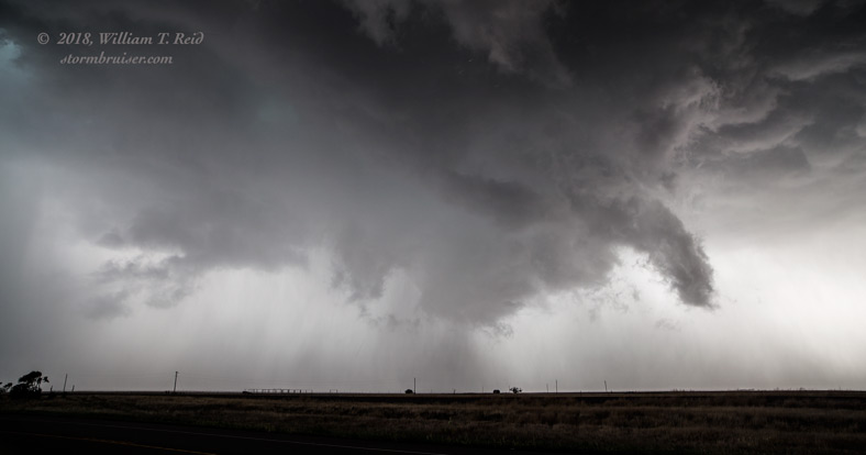
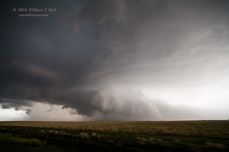
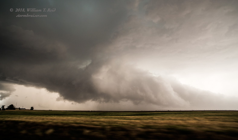
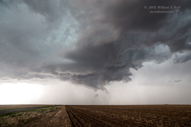
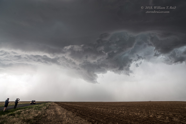
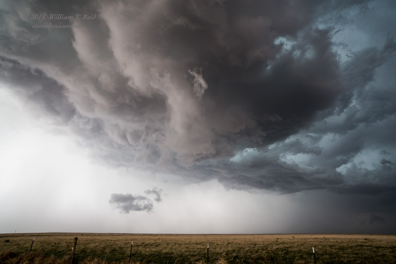
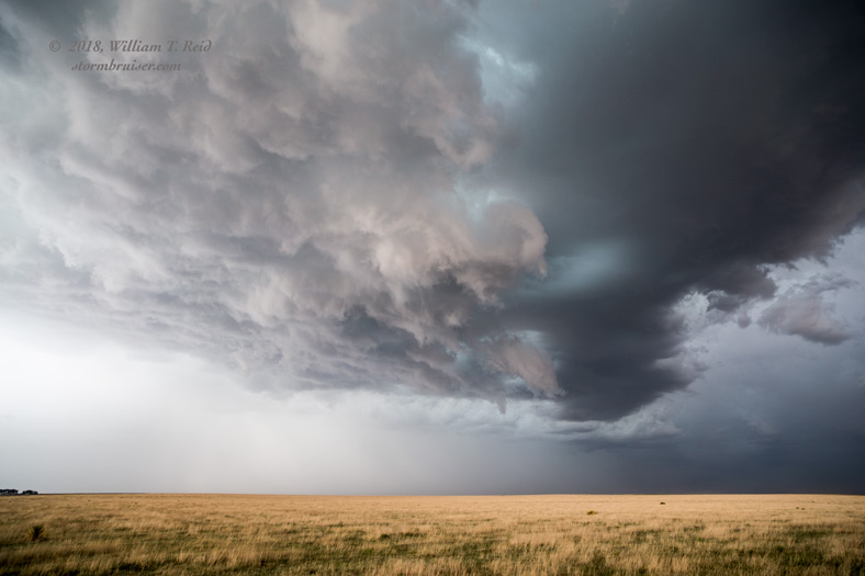
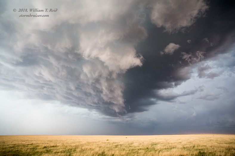
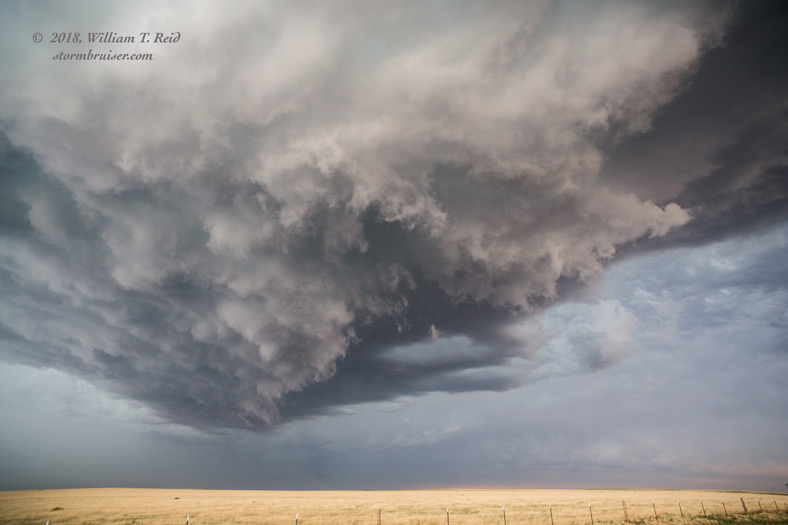
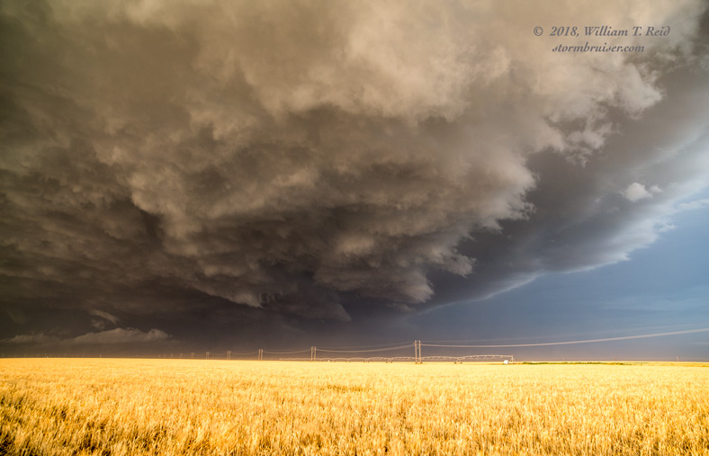
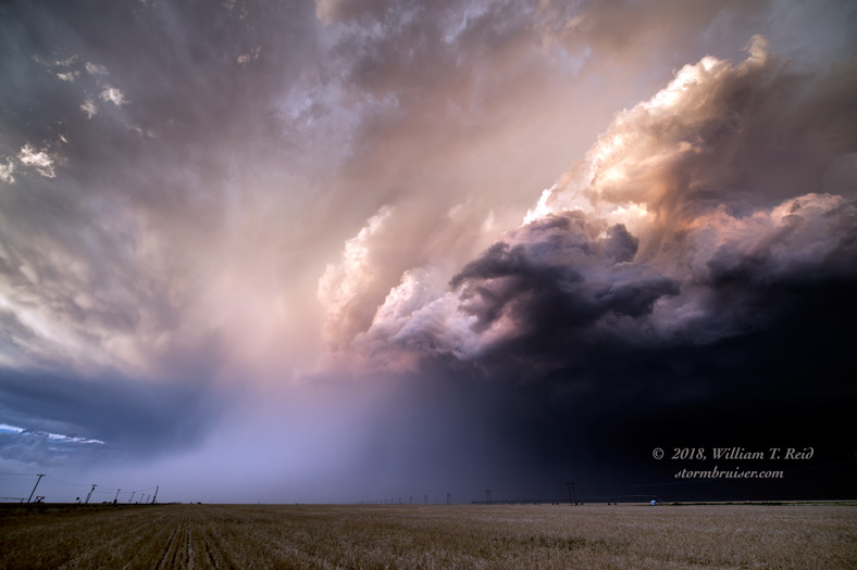
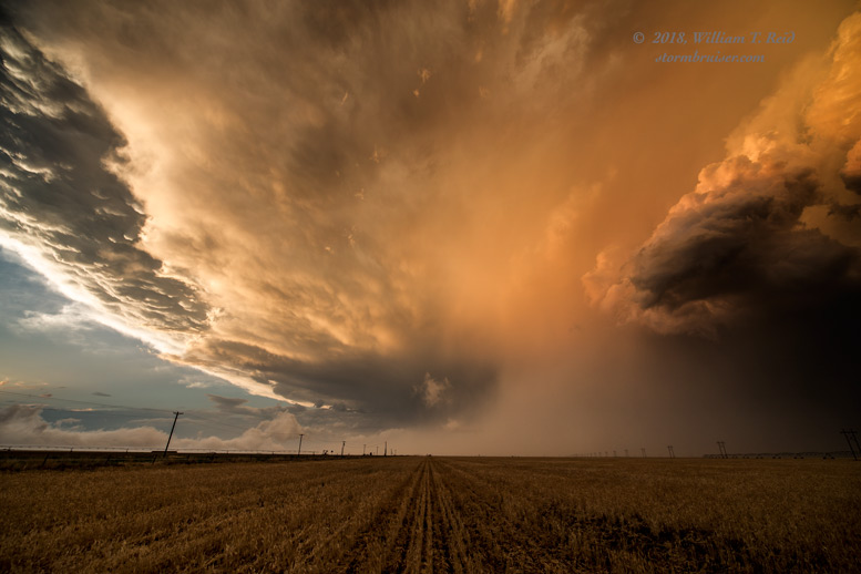
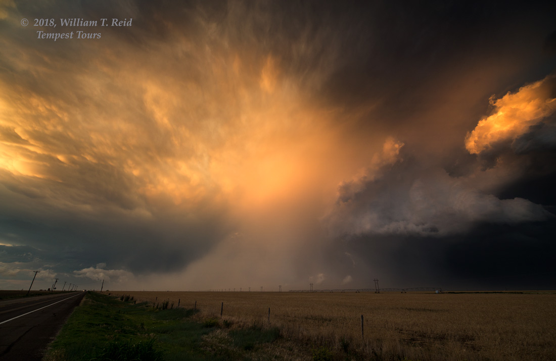
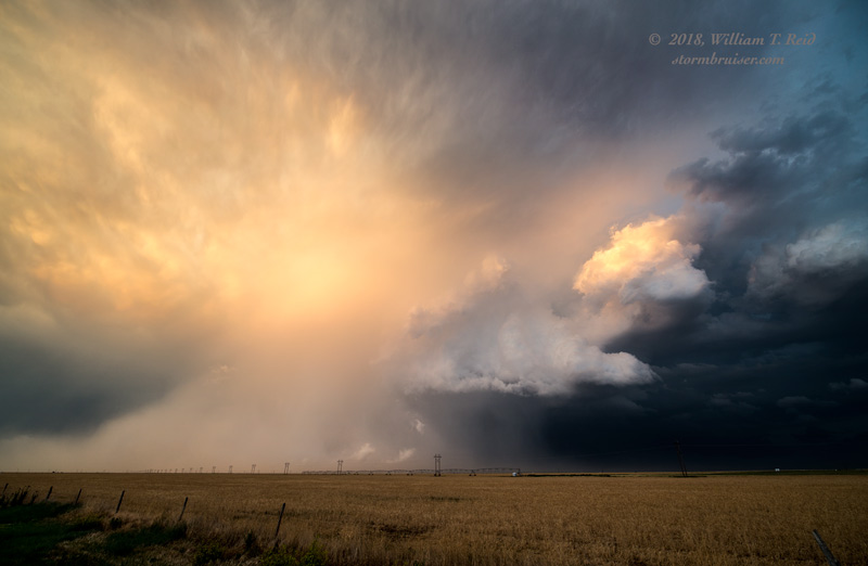
The last three images above are along FM 1290, south of Texhoma, looking to the southwest into the notch area, where a wall cloud loomed. The motion into this area was very rapid, and the radar showed a very strong couplet. Were we going to get a tornado, or were we going to be trashed by baseball hail?! I wasn’t sure, but it seemed prudent to try to get east and southeast of this area. We cut south in front of it unscathed, and no tornado formed, that we could see. It came very close to doing so, but we lost our good visual on it while combating rotating rain curtains. As we cleared the dangerous area and reached Highway 15, the storm suddenly looked less threatening.
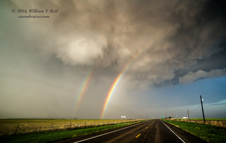
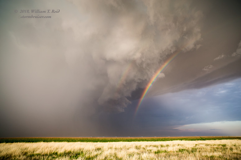
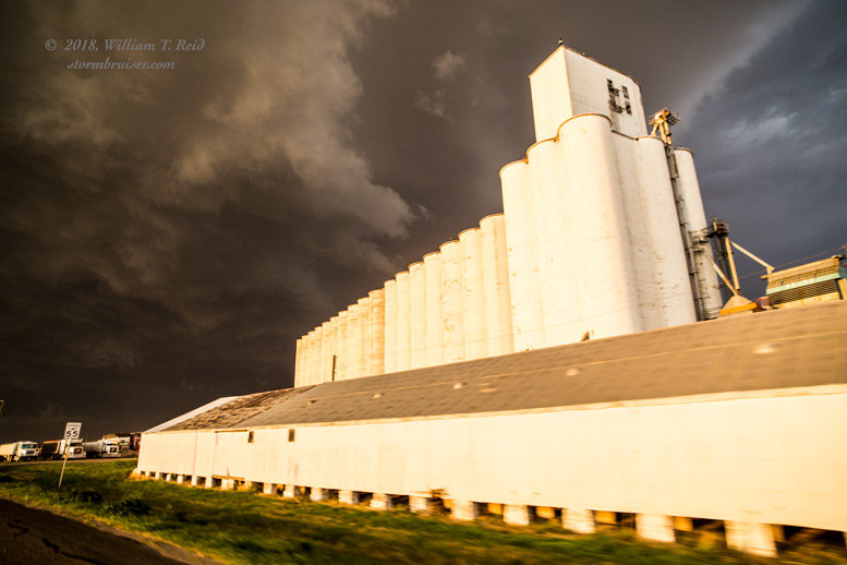
We wound up trailing the storm base towards Gruver, in nice light and rainbows to show the way. The storm stayed strong east of Gruver, and we stopped just north of town for the obligatory stormy sunset photography.
Leave a Reply
You must be logged in to post a comment.