
SPC Mesoscale Discussion 608 SPC Mesoscale Discussion 609
SPC Mesoscale Discussion 615 SPC Mesoscale Discussion 616
SPC Mesoscale Discussion 617 SPC Mesoscale Discussion 621
June 1st was the final chase day for Tour 4. We needed to be back to the base motel in Oklahoma City by early afternoon on the following day, so we were restricted on June 1st with regard to chase range. I needed to be no more than a 5-6 hour drive from OKC by the end of the day on the 1st.
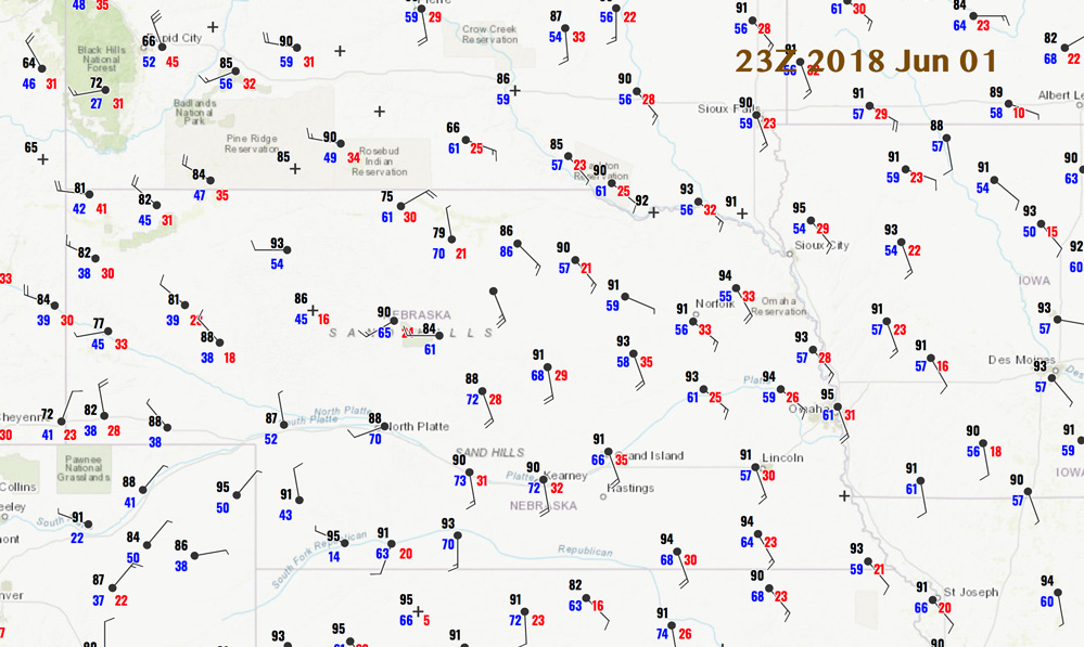
The chase prospects were looking quite nice on June 1st! SPC showed a moderate risk over much of central Nebraska, with a 45 percent-hatched hail and wind risk, and a 5 percent tornado outline. (Tornado prospects were even better up in North Dakota.) This was shaping up to be a very big severe-weather event and perhaps a great chase day. These types of high-end chase days had been absent for the most part this spring. The outlooks and discussions mentioned “extreme instability” and 35-knot shear for supercells. As tour director, my problem was that the target area in Nebraska was on the fringe, logistically. I did not want to be pulled well up towards the South Dakota border, but I could chase the triple-point area of central Nebraska. Hopefully initiation would be early rather than late. Maybe Mother Nature would make it easy for us, logistically!
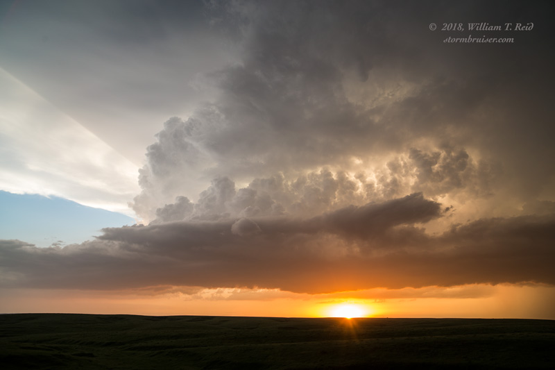
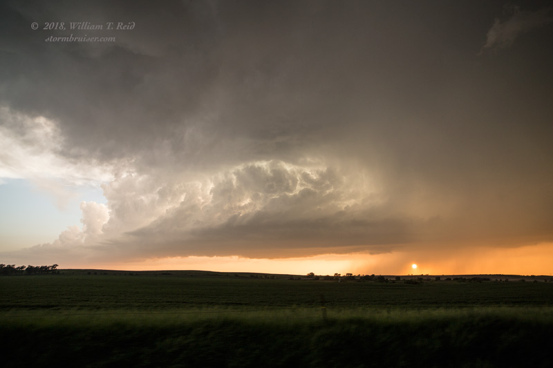
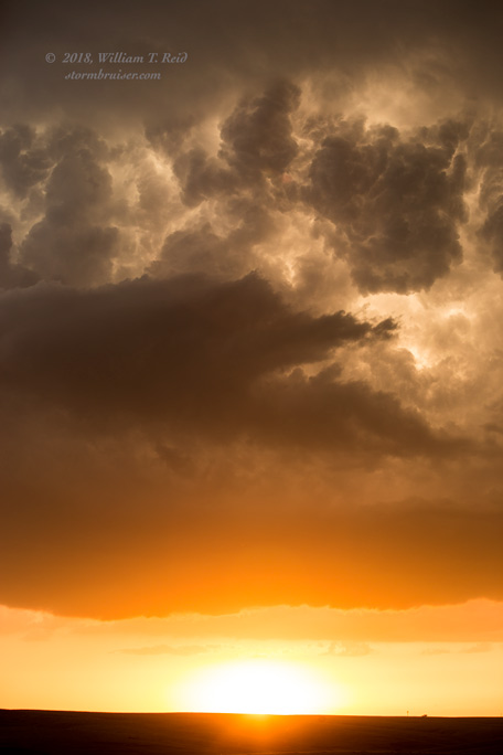
Well, there was a strong cap today. We waited well into the afternoon, and finally a decent updraft developed not too far west of Broken Bow, in Custer County, in central Nebraska.
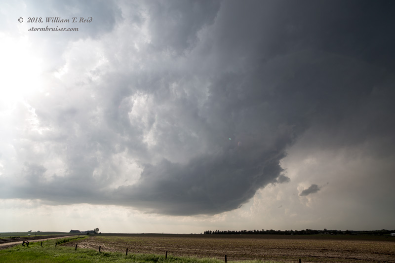
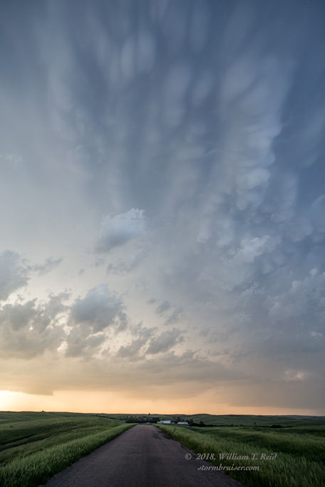
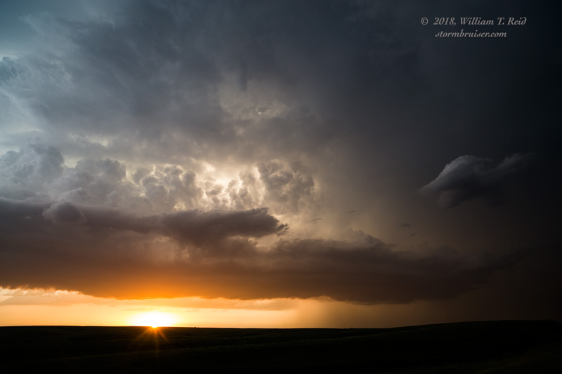
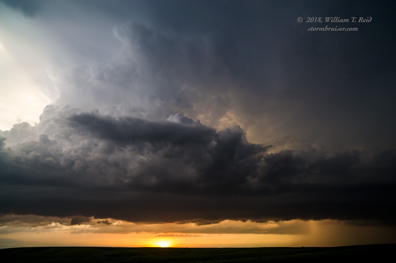
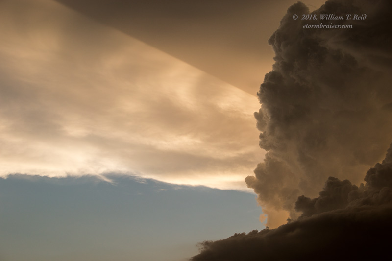
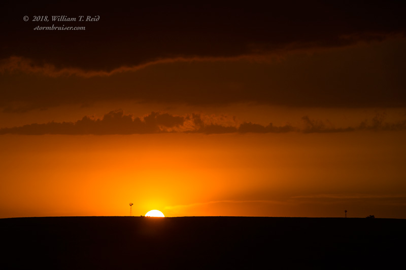
The impressive and organized storm cell above was between Broken Bow and Merna. I thought that we were in business! Release the extreme instability! But, the little cell sputtered. We went back into Broken Bow, with broken hearts. Now it was an hour or two until sunset, and close to the time when we had to start making our way south to I-80, closer to OKC. There is that time of day on a (seemingly) big chase day that comes and goes and suddenly you are thinking that this one will be a big dud. That is how we felt by about 7 p.m. We stuck it out in Custer County until about sunset as additional storm towers developed to our west, and southwest, and northwest. But these storm cells were not very strong. There was severe weather in central Nebraska eventually this evening, but chasers were left wondering what went wrong.
Leave a Reply
You must be logged in to post a comment.