
Start: Belle Fourche, SD
Lunch: Moorcroft/Donna’s Diner
End: Gillette, WY
386 miles
I wasn’t really thrilled with the severe-weather setup today. Maybe it was because I didn’t consider enough areas. SPC had a big slight risk area around CO/NE/KS, but we were up in Belle Fourche, SD, and I much preferred the stronger upper winds and shear across Wyoming. So Wyoming it was. SPC had a slight risk way out west, mostly west of the Bighorns. Yuck. The instability and shear were not too shabby, but dew points were not high enough to write home about. I am never in a mood to chase west of the Bighorn Mountains, much less write home. And is it the Bighorn Mountains or the Bighorn Range? Either way, when one needs to cross a mountain range to chase severe weather, then something is seriously wrong with the weather pattern.
This day, June 6, 2018, wound up being one of the BIG chase days of 2018 for a handful of very fortunate and/or impressively-smart storm chasers. It is the day of the fabulous tornadic supercell about ten miles north of Laramie, in Albany County. I had a bit of tunnel-vision, though, and did not consider the Cheyenne Ridge and vicinity as a target. I was just looking at the seemingly better shear and instability in northern Wyoming.
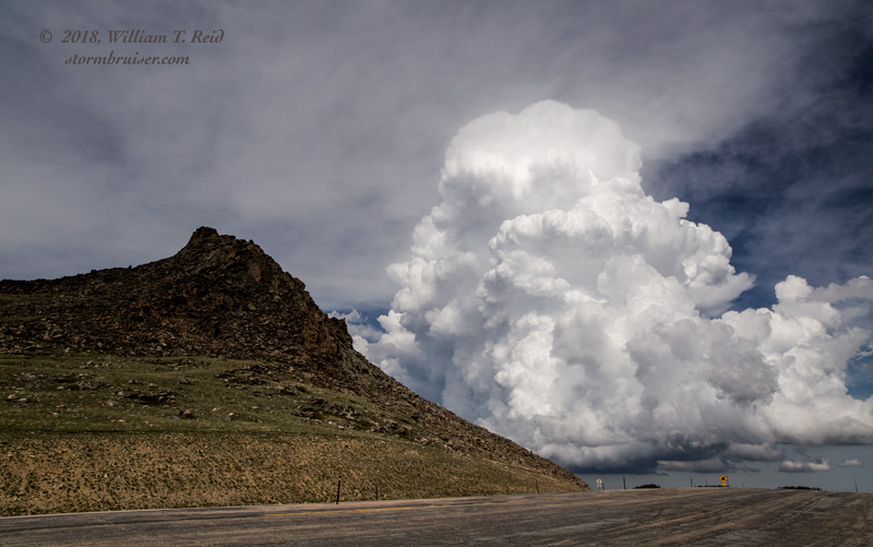
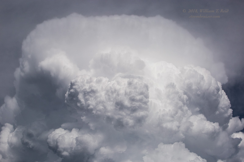
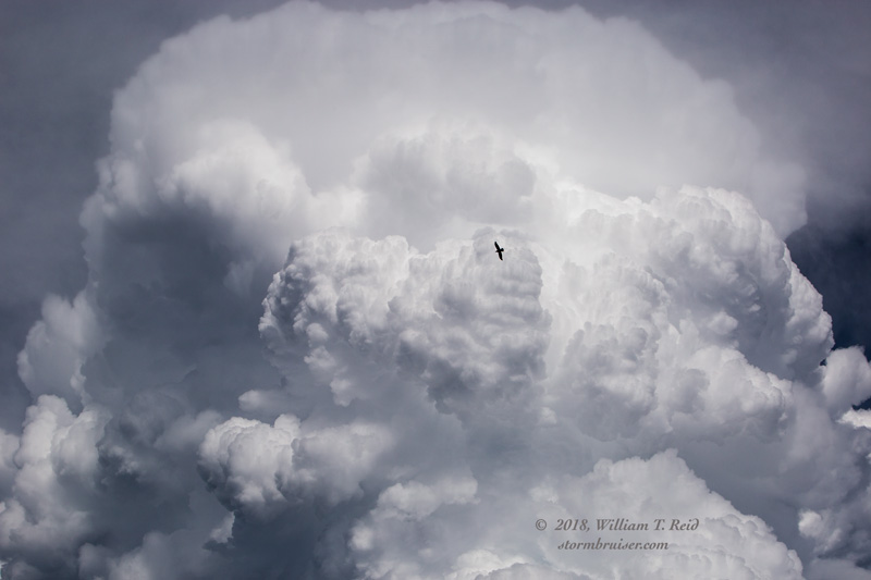
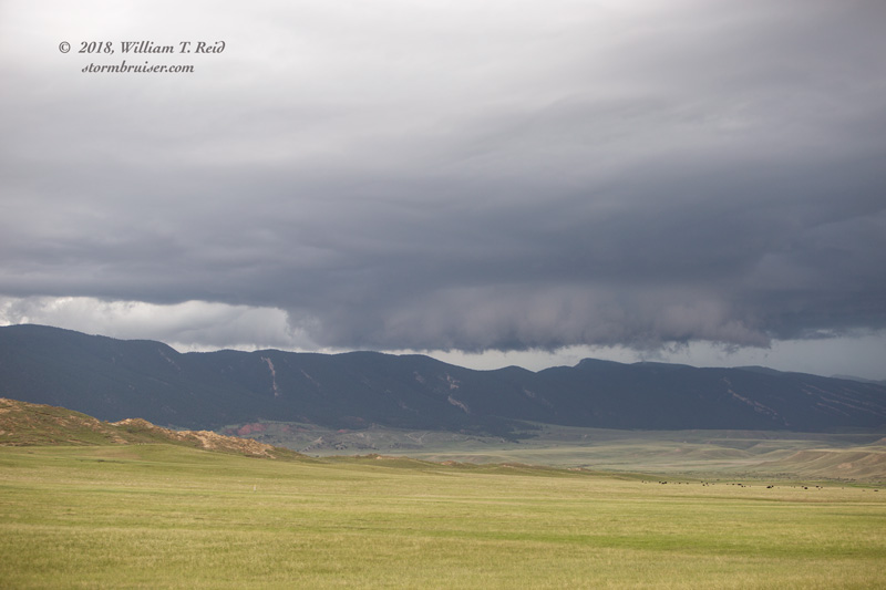
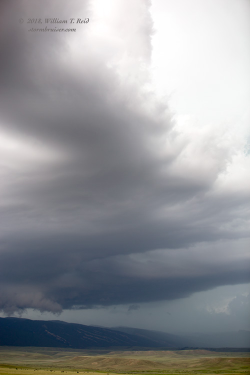
So west we went on I-90 to Buffalo and beyond. Some decent supercells were spinning well west of the Bighorns during the early-mid afternoon. I was hoping for a storm on the east side of the Bighorns, but that wasn’t happening yet. We headed up to the mountain pass on Highway 16, at nearly 10,000 feet in elevation. I had decided to try to take a look at the activity west of this unwanted and inconvenient terrain. We stopped at the pass near a patch of snow and looked back to the east. A cumulonimbus cloud was exploding skyward. We were at about the same level as the storm base.
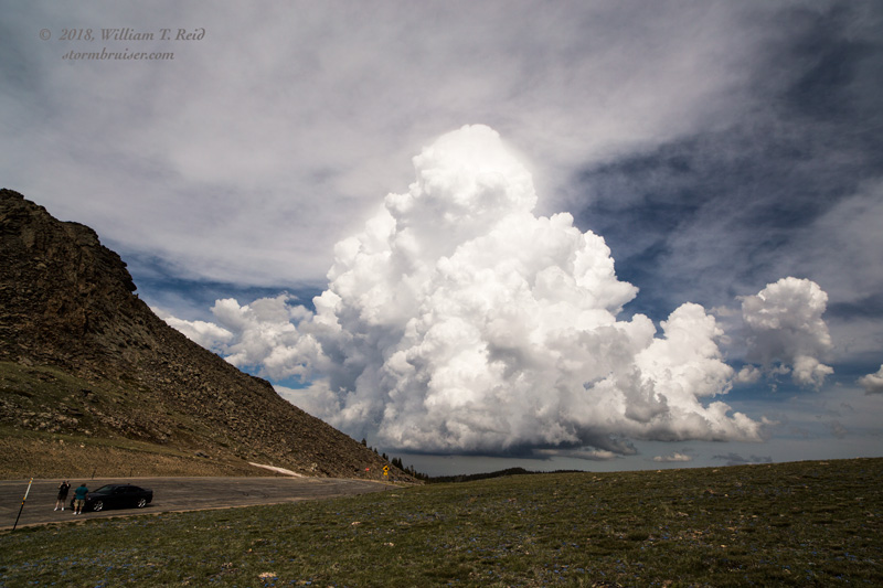
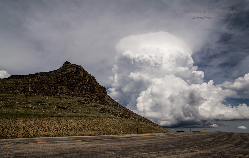
It would have been quite interesting to hang out at this mountain pass to watch this storm develop. But if it moved off to the east and produced a tornado, then our position would have been questioned. Down the mountain we went, back to Buffalo.
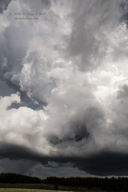
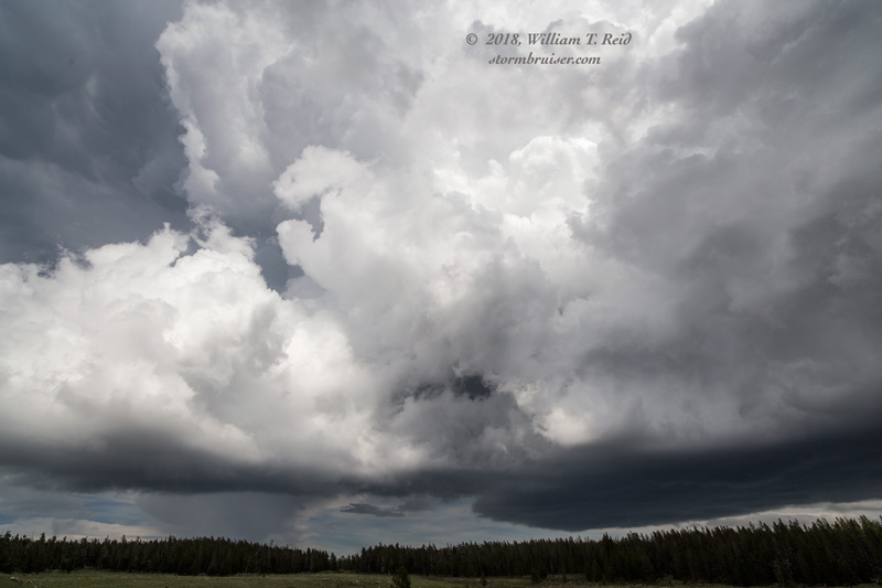
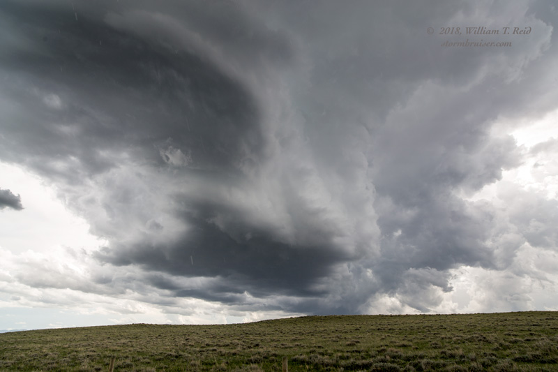
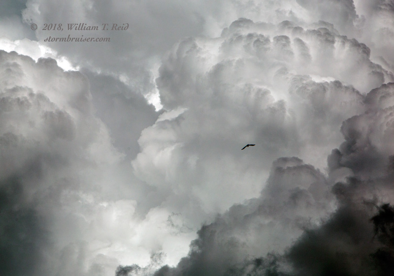
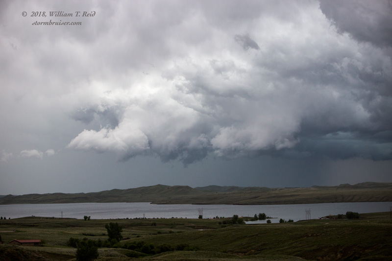
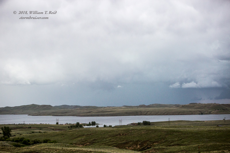
The supercell was stationary for a long time. It sat above the higher terrain south-southwest of Buffalo, and we drove through its anvil rain on 196 to get southeast of the updraft base. The updraft showed some decent structure at times, with a rather persistent wall cloud.
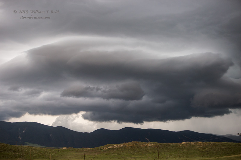
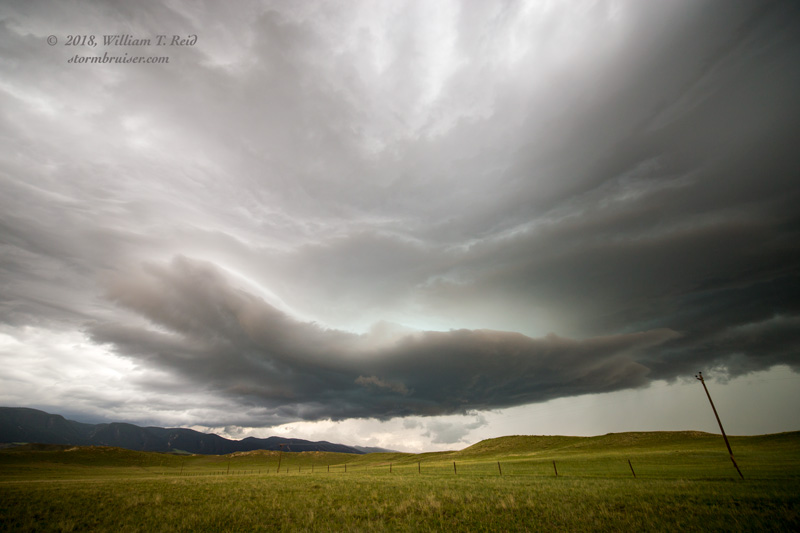
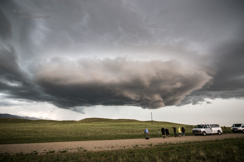
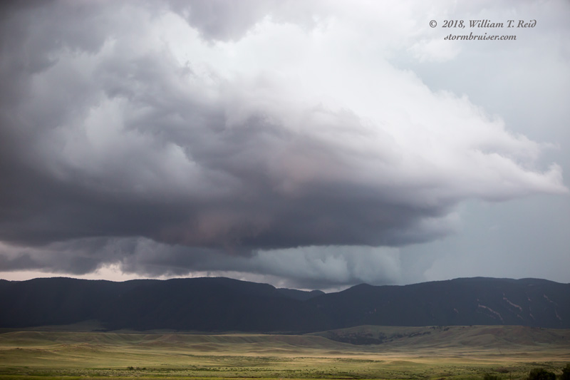
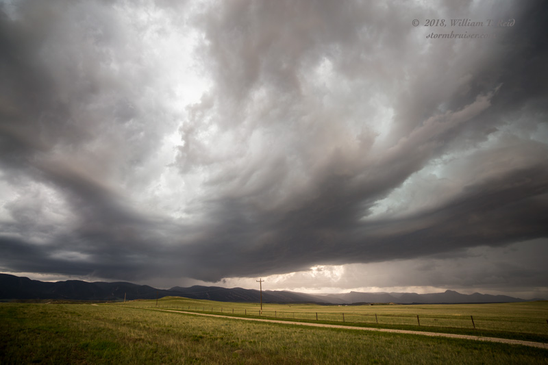
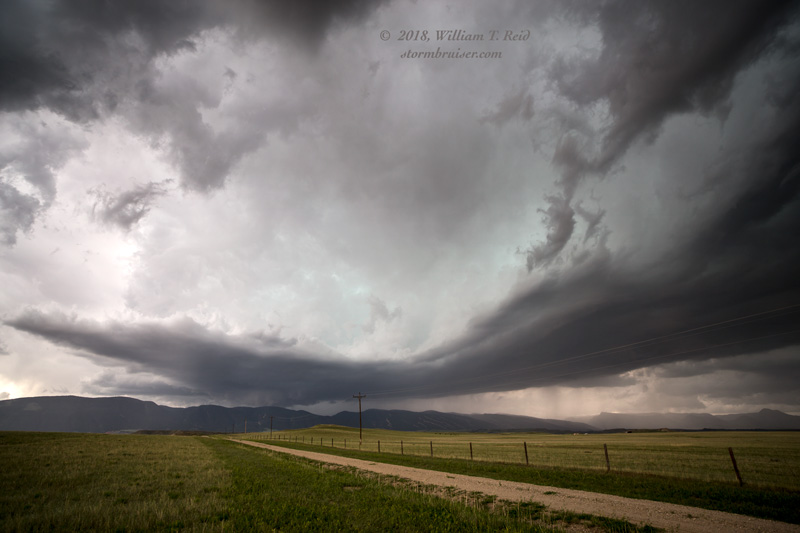
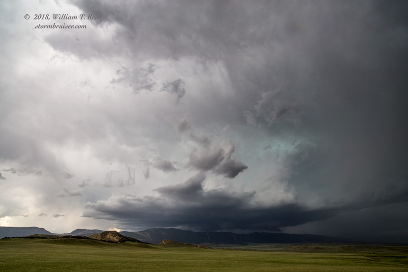
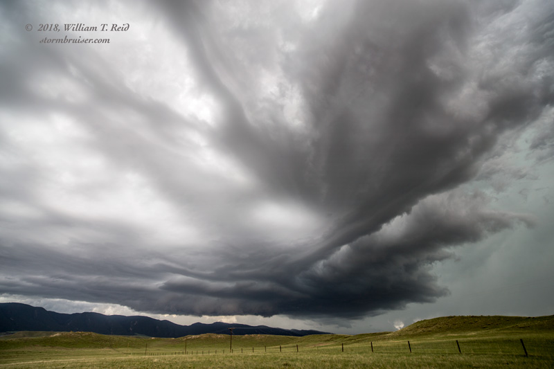

But, it didn’t try hard enough to make a tornado, and it refused to move east off of those foothills.
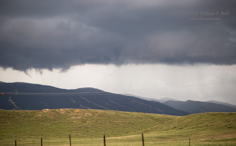
We went north into Buffalo for a pit stop as this supercell sputtered. Another storm or two lured us up north a tad on I-90, where we observed a supercell with a wall cloud to the northeast. It looked like it tried to “tornado” for a moment.
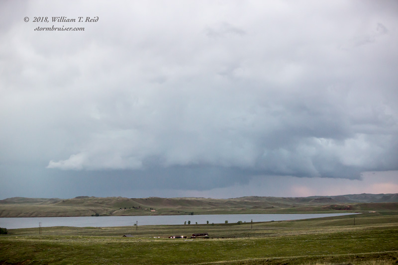
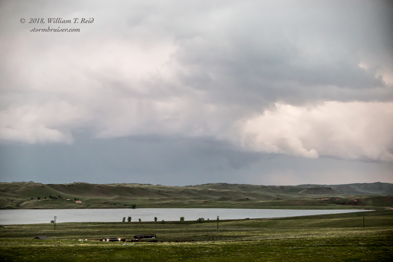
We were not in a good spot to quickly get into position on this cell, and it drifted off to the northeast towards Montana. It was almost sunset anyway, and time to head to Gillette for the night.
Leave a Reply
You must be logged in to post a comment.