See June 19/Part One for the weather details and the chase account for the Prospect Valley tornado.
Following the spectacular tornado intercept, we headed back south to Strasburg and then east on I-70 to get back into position. I had my eye on the supercell that had produced the tornado. It was looking great still, but was moving east into the relatively poor road network of southwestern Morgan County. We could stay with it by exiting at Byers and continuing east on U.S. 36. However, things quickly changed and it was clear that the storm to be on now was the one just to our south. This one was tracking to the ESE, and into the better instability towards Limon. The one north of I-70 was weakening some as it encountered less unstable air. Interstate 70 would work perfectly to get us ESE of the supercell that was south of I-70, and approaching Agate.
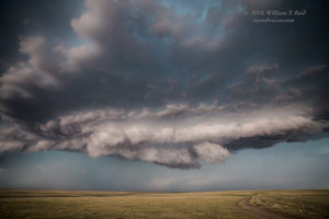
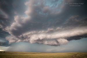
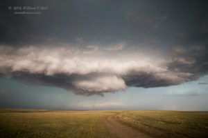
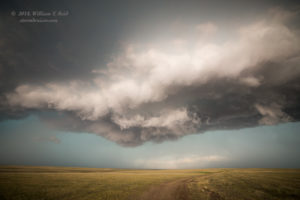
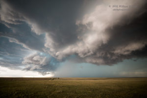
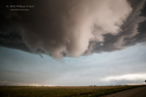
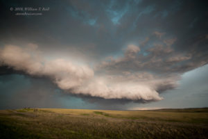
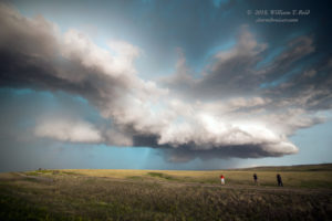
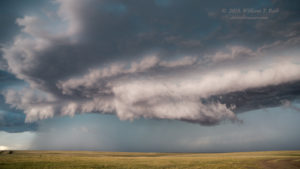
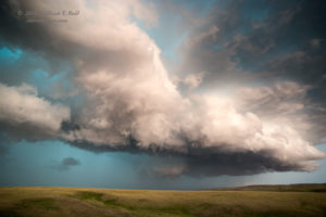
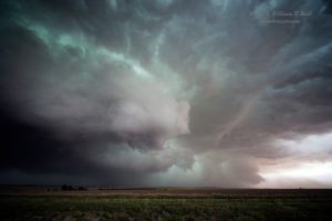
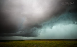
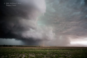
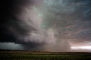
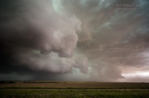
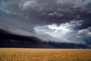
We exited at Agate and stopped on a hilltop a couple of miles west of town. This view was awesome, and we had great rotating updraft base coming right at us! But this base seemed to be a bit higher than that which produced the Prospect Valley tornado. I think that the temperature was a little higher here, and the storm base was higher due to the larger temperature/dew point spread. The higher base might well have been the difference between tornado and no tornado. Still, there was strong rotation in the wall cloud above as it moved nearly overhead at Agate (last image above). A bit of cool outflow at this point suggested that the storm base was slightly undercut. We headed a little farther to the southeast, and stopped a few miles northwest of Limon for another look.
The supercell was now a very nasty hailstorm, with an impressive look on radar and a TVS (tornado vortex signature) with a high value! It had a slightly outflowish look to it, and given the undercut updraft base, I figured that the storm posed little or no tornado threat. New storms to our east some 30-50 miles beckoned, and these were in a great environment. They might have a better chance at becoming tornadic, so I blew off this supercell that was nearing Limon and we high-tailed it east on I-70. This Limon cell had a couple of tornado reports with it soon after we left. But, apparently, whatever was rotating was weak and/or rain-wrapped.
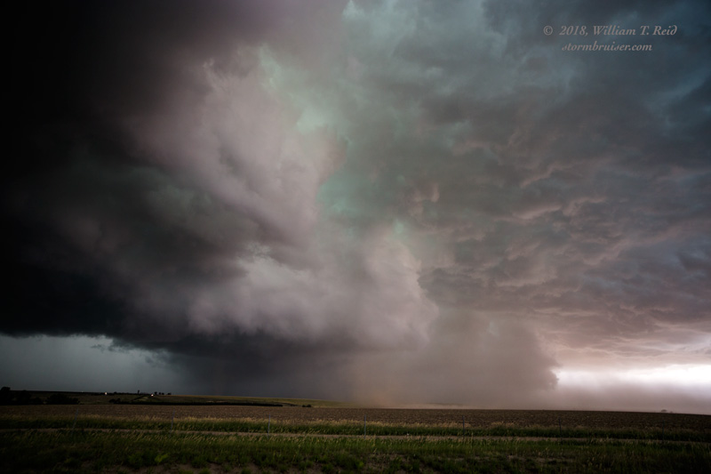
As we blasted east on I-70, the cells up near U.S. 36 (in the vicinity of Cope) were congealing some and throwing out a strong outflow boundary towards I-70. We managed a quick pit stop at Burlington, and escaped eastward as the gusts from the NW topped 50 mph. As we neared the KS/CO border, a triad of outflow boundaries appeared to be colliding near Kanorado. This should be interesting! Convection exploded in and around the little town, and we had a severe storm sucking in dust just to our south.
I was a bit surprised that a tornado, at least a brief one, did not develop beneath this updraft base. A dusty gustnado getting sucked towards the base would have to suffice — this went right over our vans on I-70.
This activity quickly became a bit messy and disorganized. It was too late to check out the tornado-warned storm up near Bird City. The northerly winds behind the outflow boundary were now undercutting everything nearby, so we headed south out of Goodland to try to get back into good air. Three counties later, north of Syracuse, we finally got in front of that blasted boundary.
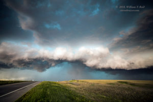
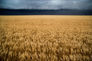
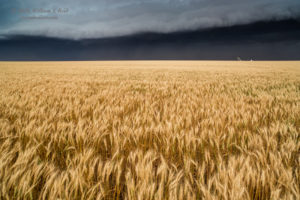
Obviously, by this point, the activity was linear. The shelf cloud to our north contrasted nicely with the wheat field. We made one final stop north of Syracuse to watch new cells and the lightning around sunset, but it wasn’t very photogenic. The Subway in Syracuse stayed open a little late to feed us, and we had to head west to Lamar for rooms for the night.




Leave a Reply
You must be logged in to post a comment.