
Following our successful tornado day on June 19th, we had a down day on the 20th. The severe risk in central Iowa was too distant to reach in time from Lamar, CO.
June 20 Begin: Lamar, CO/brunch at Lamar Hickory House/end: Wray, CO
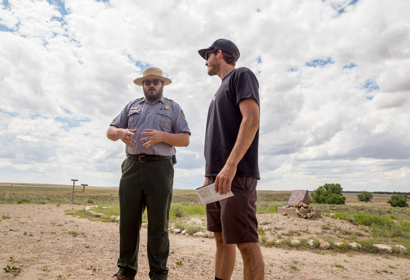
After a late breakfast in Lamar, we headed north and I decided to check out the Sand Creek Massacre site, near Chivington. The NPS guide provided a very interesting talk on the history of the site and the massacre which occurred in 1864.
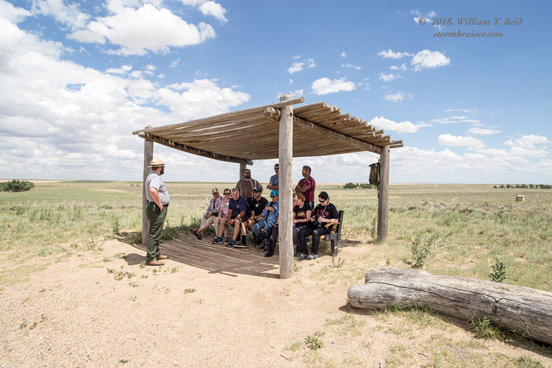
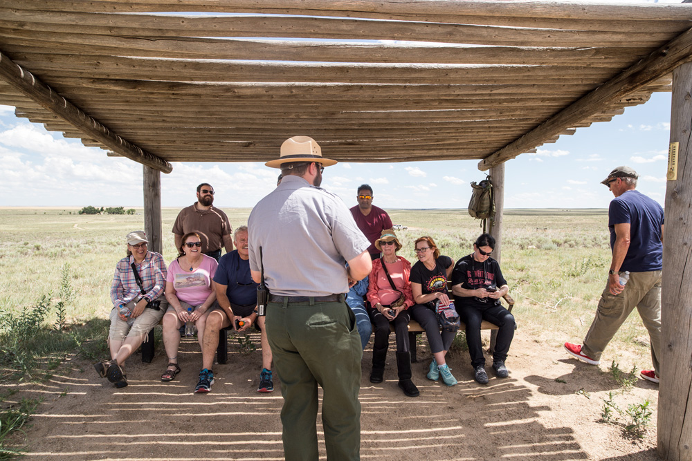
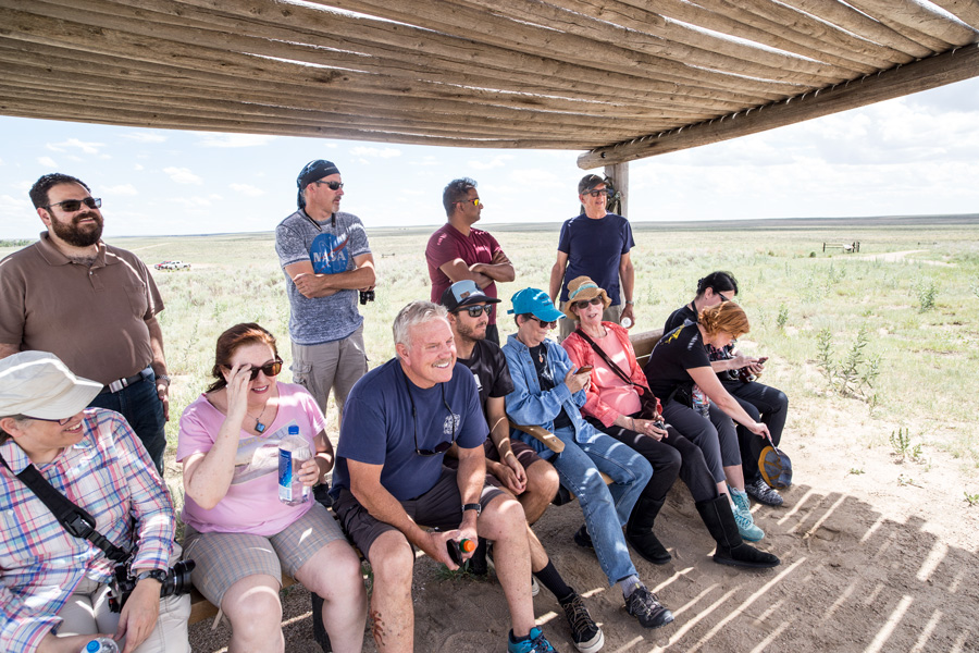
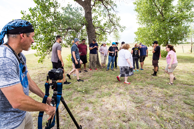
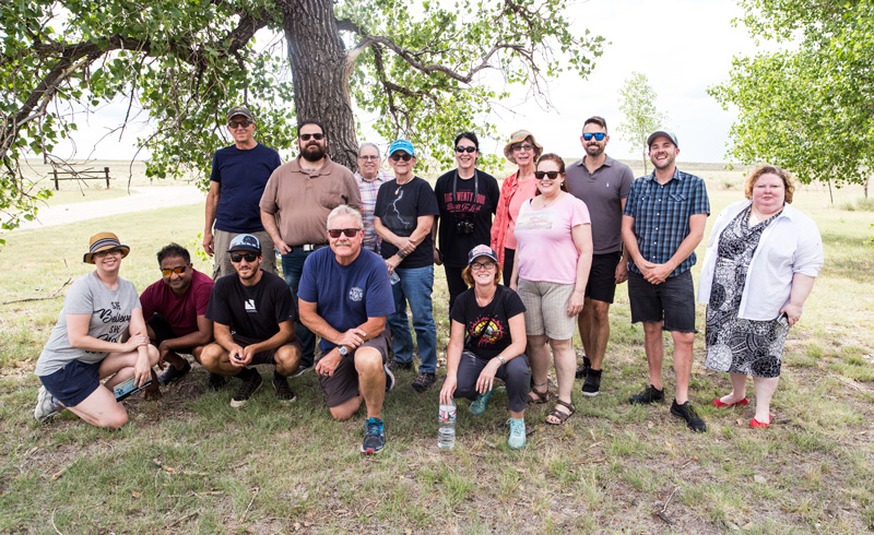
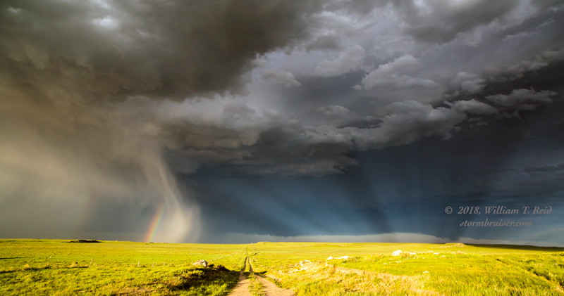
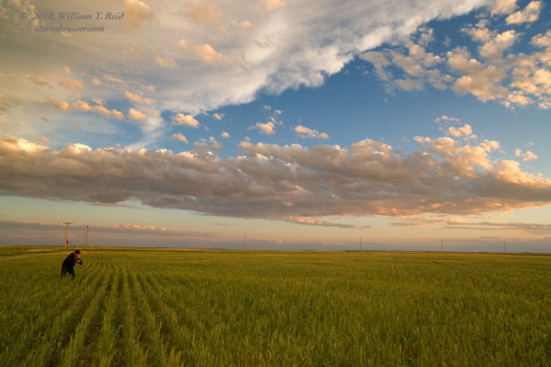
Some junky high-based convection approached our area during the mid-afternoon. It was entirely uninteresting. After the presentation and a group photo, we headed north to Wray for the night.
June 21
Begin: Wray, CO
Lunch: J&L Cafe in Sterling, CO
End: Fort Morgan, CO
Our tour group had to be back in Denver on the next day, so we chased the Cheyenne Ridge and SPC’s High Plains Marginal Risk area. Shear and instability were more than sufficient for some rotating storms. We sat north of Cheyenne by about 20 miles for an hour or so and watch high-based updrafts develop well to our west. A cell near Laramie survived its trip to Cheyenne, and we were on it along I-80 to Hillsdale and Egbert.
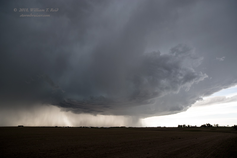
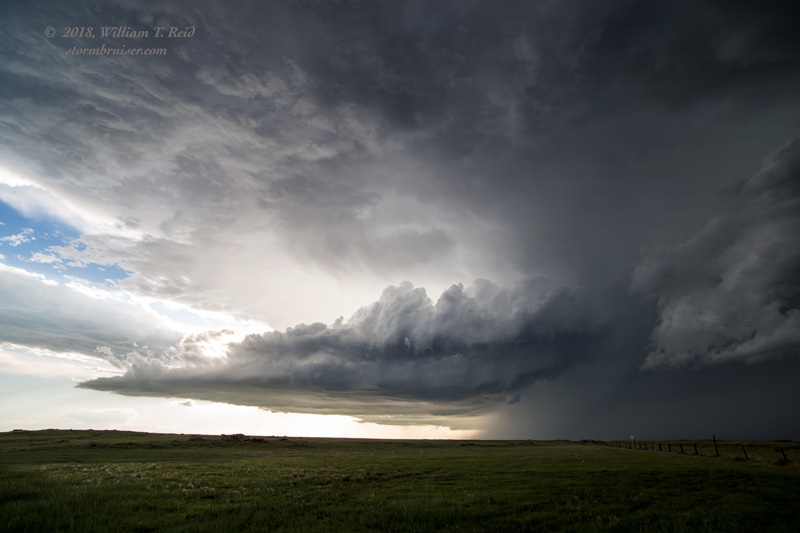
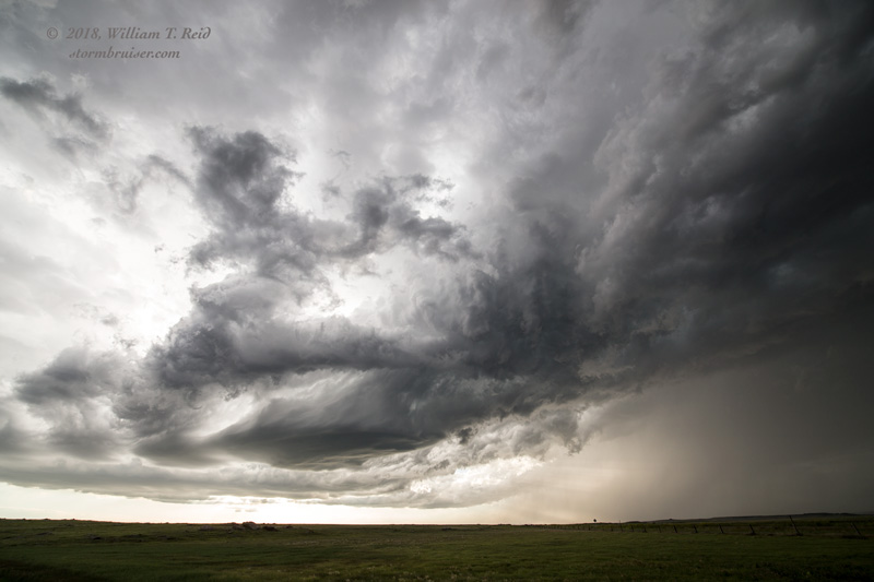
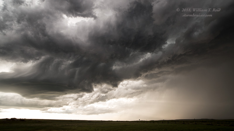
One updraft was just north of I-80, and it was behaving and looking more like a left-split (left image above). Fortunately, another updraft went up south of I-80, and it was rotating cyclonically (right image above). We dropped south out of Egbert, and positioned ourselves southeast of this one near Keota, via Hereford and Grover. This storm looked pretty healthy for a bit, and I was a bit worried as we skirted the hail core on its east side. The heavy hail core disappeared quickly, though, and when we stopped to look at the updraft to the northwest, it was looking more like an LP storm. The updraft was spinning nicely and was actually dropping to the south. But, it was dying rather quickly, too.
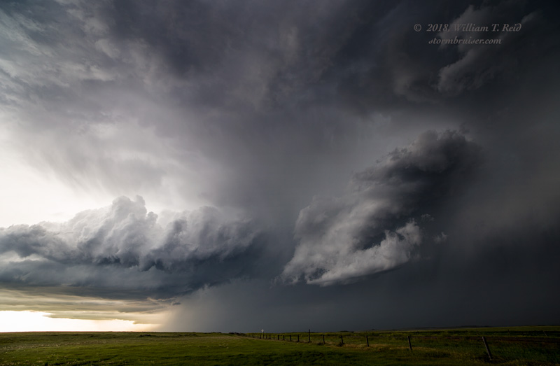
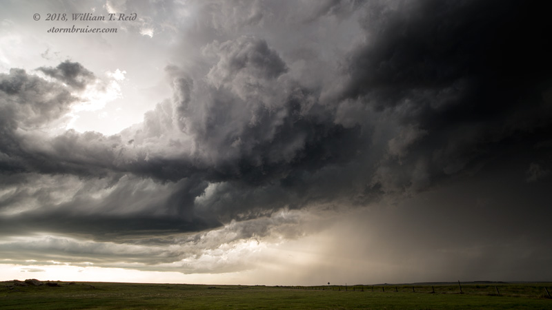
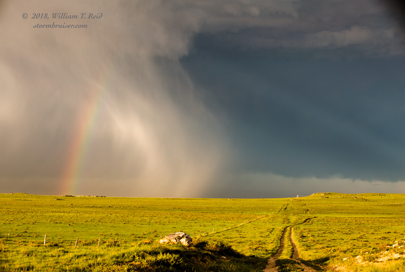
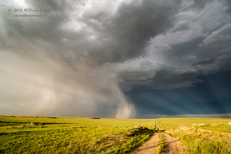
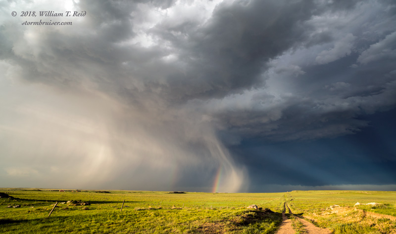
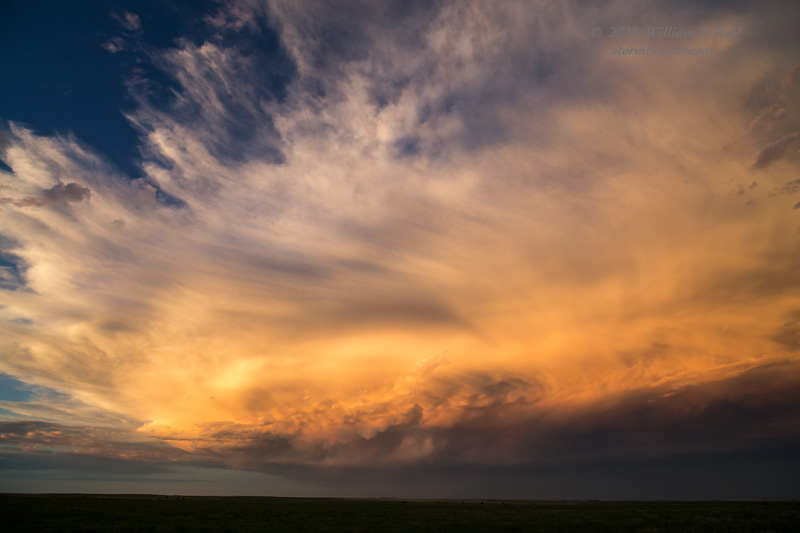
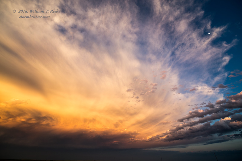
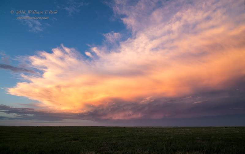
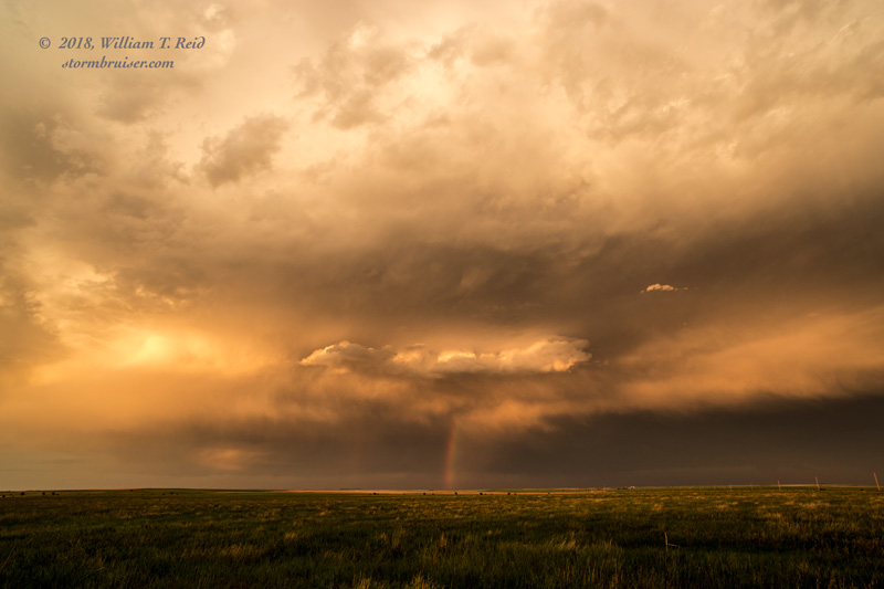
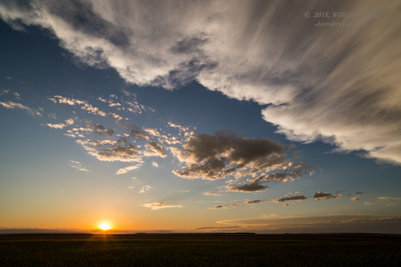
All that remained to “chase” was little hailer to the east. The sunset shots were near Keota and Raymer.

Leave a Reply
You must be logged in to post a comment.