Begin: Denver
Lunch: Limon/fast food
End: Syracuse, KS
415 miles
Today was Day 1 for the new Tour 7 group. SPC upgraded from marginal risk to slight risk in their 1630Z Day One outlook for areas of eastern Colorado south of I-70. Shear was excellent given the upslope surface flow beneath the moderate WNW flow aloft. Instability increased substantially towards the southeastern corner of Colorado — see the mesoscale discussions above for maps of this parameter. My target area was generally south of the Palmer Divide, and closer to Lamar versus Limon, given the better instability farther south. Tornado prospects were not very good as dew points were okay, but not great. Fairly high storm bases early on would promote cold air production and undercutting.
Convection started fairly early, much to my dismay, very close to Limon, while we were in lunch mode. These cells organized some and had hail cores — no surprise at all. But should I hang around to see what these storms were going to do, or should I continue southeastward on 287 towards my target area? The models weren’t particularly clear on this. I didn’t want to be on a so-so storm near Limon while a another one was going up in much better air 100 miles to my south or southeast.
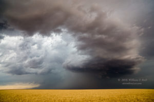
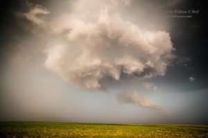
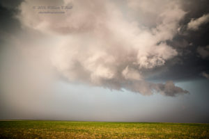
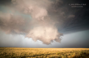
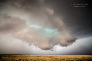
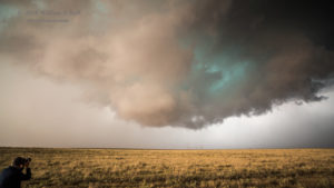
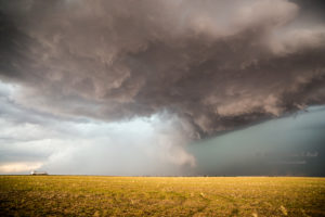
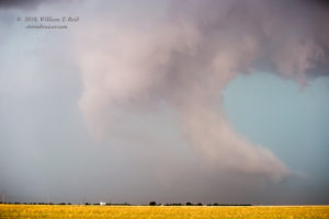
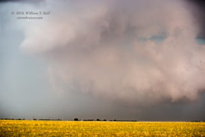
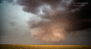
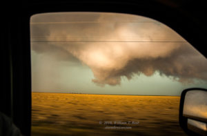
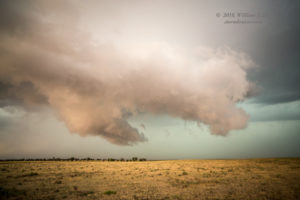
We continued southeastward and hung out between Eads and Haswell along Highway 96. The storms up near Limon were becoming more-and-more severe and moving SE to SSE. There wasn’t much happening in-or-around the Arkansas River Valley, and it was becoming clearer that today’s show would be those early storms to the north that were moving slowly towards us. Well, by the time that this became rather obvious, there was just one big supercell to hone in on. It was dropping golfball-sized hail from about Hugo to Karval and Wild Horse. We hopped onto the unpaved section road network somewhere northwest of Eads (in Kiowa County) to watch. The supercell sported a fine wall cloud as it approached 287 just northwest of Eads a couple of miles. We were just east of it and observed some very suspicious dust whirls beneath some weak rotation in the wall cloud (pics 2-7 below).
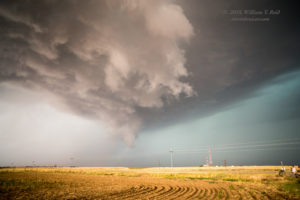
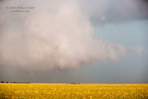
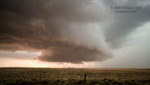
This activity was quite engaging! The storm continued its motion to the southeast, rather slowly, and we repositioned a little to the southeast of Eads. Now with a view to the north, the supercell wrapped up quite nicely again at low levels. A nicely rounded lowering appeared poised to provide a tornado, but no tornado was evident (last image above).
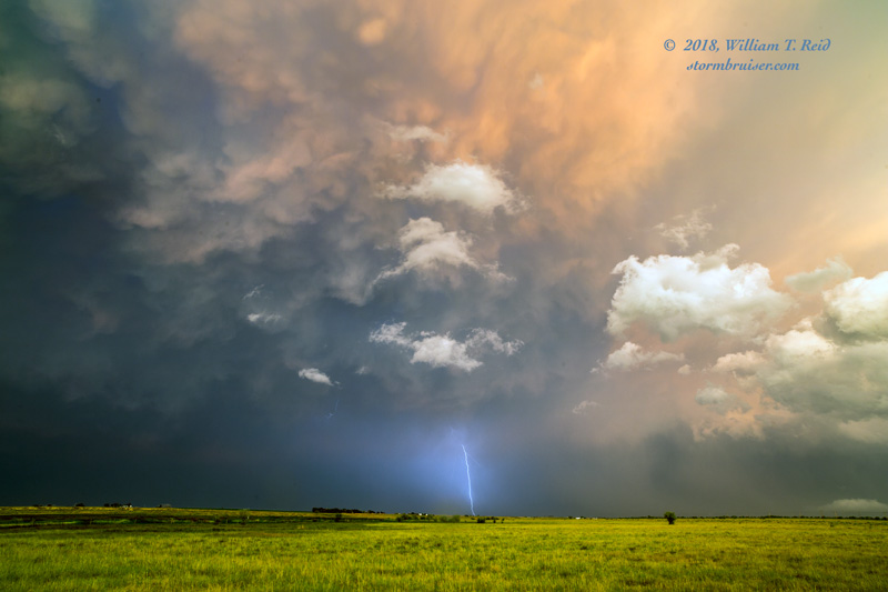
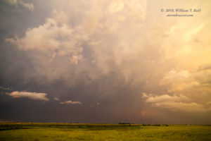
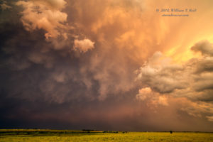
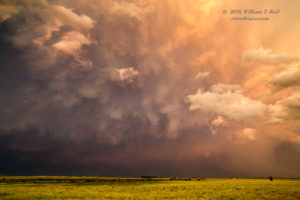
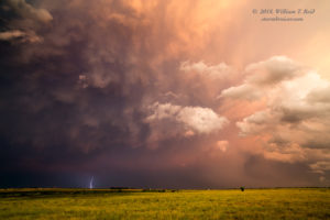
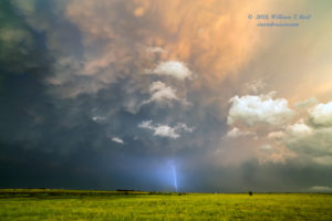
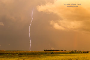
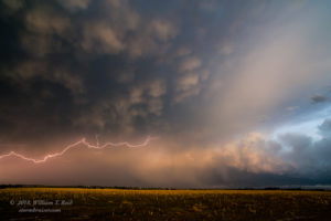
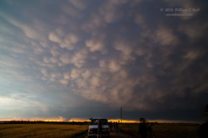
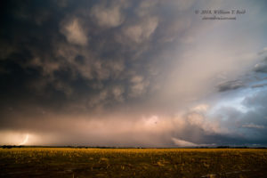
If I recall correctly, the storm began to spill a bit more cold air than previously, and became moderately undercut. We headed south to Lamar for a quick pit stop, I think, and then headed north a little to chase the same supercell. It seemed to jump eastward quickly on us, and we played catchup as sunset neared on 196 near Bristol. I found an open spot between Bristol and Hartman for our obligatory severe-storm-at-sunset photo stop. The CGs were infrequent, but the light on the backside was fab.

Leave a Reply
You must be logged in to post a comment.