If you are interested in seeing what the Channel Islands look like from the mountains above Malibu, then this is the post for you!
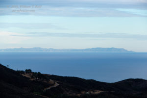
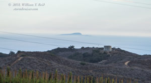
Finally — there was some offshore flow and cooler air aloft to (almost) wipe out the coastal marine layer! I headed to the beach mid-to-late afternoon with the cameras. The offshore islands were quite stark as I reached the higher portions of Highway 23 through the Santa Monica Mountains, between Westlake Village and Malibu. Most surprising of all, I could see San Nicolas Island, 68 miles distant to the SSW! It is not easy to see San Nicolas Island as it is flat and unspectacular, and its highest point is only 900 feet above sea level. I was near 2000 feet above sea level near Decker Canyon and Encinal Canyon Roads for this shot of San Nicolas Island — it is that flat pancake WAY out there. This is a slightly cropped shot taken at 280mm focal length:
Sure, the picture isn’t going to elicit many oohs and aahs, but how many other pictures of San Nicolas Island can you find that were taken from the California mainland? I doubt that San Nicolas Island can be seen from sea level elevations along the mainland coast.
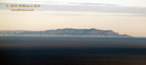
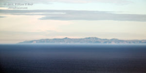
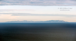
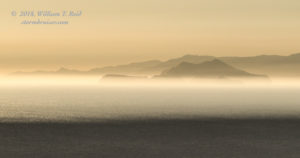
To the left of San Nicolas Island was Santa Catalina Island, about 45 to 55 miles distant to my SSE. These were taken from an elevation of about 1500 feet along Encinal Canyon Road. Catalina’s highest point is about 2100 feet above sea level, and as you can see, the island is fairly rugged.
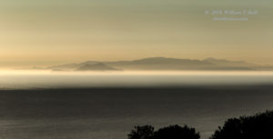
Perhaps most incredible of all on this drive was that San Clemente Island was visible, just to the right of Santa Catalina Island. San Clemente Island was about 80 miles distant to my SSE. Its highest point is about 1950 feet above sea level, but the island is generally flat and unspectacular, like San Nicolas Island. San Clemente is just a faint distant, shallow blur in this image (below), to the right of the western-most edge of Catalina.
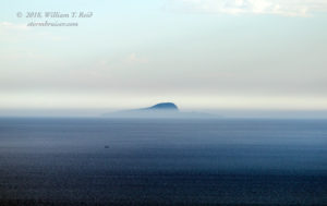
Up next was Santa Barbara Island. It was easily visible between Catalina and San Nicolas Island, as a small black “blip.” A shallow haze of marine air partly obscured the bottom portion of the island, which reaches 634 feet in elevation. The island is small, covering just one square mile approximately, and it was about 42 miles away to my SSW. I have only seen Santa Barbara Island once from the Malibu coastline at sea level. It helps immensely to be up in the Santa Monica Mountains a couple of thousand feet to get a good look at it. These are full zooms with some cropping (280mm).
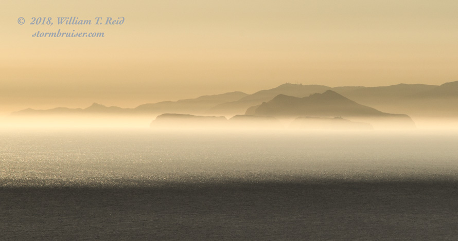
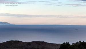
The remaining four Channel Islands were to my west, and I had to drive lower in elevation and closer to the coastline in order to see them. Easily visible were Anacapa and Santa Cruz. San Miguel and Santa Rosa islands were farther west and not visible, due to distance and because they were blocked by the terrain of Santa Cruz.
Anacapa is a “series of narrow islets” with a top elevation of 930 feet. It is about 30 miles distant to my west for the images below, and is in front of Santa Cruz Island. Santa Cruz ranges from about 40 to 60 miles to the west from this photo location (above Malibu near El Matador Beach along Encinal Canyon Road). With its highest elevation at 2429 feet, rugged Santa Cruz Island effectively blocked the view of Santa Rosa Island (highest elevation 1589 feet), just to its west. West of Santa Rosa is San Miguel Island, also too distant and low in elevation to be seen.
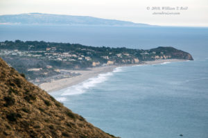
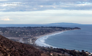
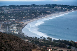
Finally, this distant island landscape photography page needs to include Point Dume and Zuma Beach. These aren’t islands (yet), but maybe someday Point Dume will be surrounded by water. Point Dume (below) is the sharp point that juts out into the Pacific Ocean. Beyond Point Dume is Santa Monica Bay and Palos Verdes Peninsula, which might be mistaken for an island at this distance (34 miles to the southeast here).

Leave a Reply
You must be logged in to post a comment.