As a resident of Westlake Village (on the Los Angeles and Ventura county line about an hour northwest of Los Angeles) and owner of a home that is adjacent to plenty of open space, I have to “weather” each autumn season and its brushfire danger. Following our dry and hot summers, the Santa Ana winds (almost) invariably blow before the onset of any substantial rains. If a brushfire develops during a strong Santa Ana wind event anywhere nearby, then there isn’t much one can do except to get out of the way as the flames are pushed all the way to Malibu and the Pacific Ocean.
The 2017-2018 rainy season was very dry locally. An inch of rain fell into my rain gage on March 20 this year, but only 0.09″ occurred from March 21 through November 8th. That is seven-and-a-half months with less than a tenth of an inch of rainfall. Needless to say, the natural brush and vegetation in the area were extremely dry.
My friend (Jennifer) was in town for a few days, and on Thursday morning, November 8, we headed from Westlake Village to the Owens Valley to do some exploring and photography. As we headed from Thousand Oaks to Simi Valley, the wind picked up noticeably out of the northeast. A Santa Ana wind event was beginning. It was starting a little sooner than I figured. I thought that this would be a bad time to be away should a brushfire start near home.
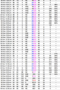
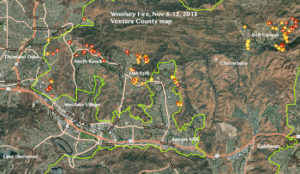
By late afternoon we were up around Independence, and I learned of the new fire in the Simi Hills, between Chatsworth and Westlake Village. Uh oh. The winds would be pushing the fire towards home. We made the four-hour drive back home, arriving around 10 p.m. On the way back through the Simi Valley, the flames of the Woolsey fire were easily visible to the south. The worst of it appeared to be on the south side of the ridge between Simi and Agoura. We were monitoring KNX-AM 1070 for the latest information, and I was checking wind information around the fire. It sure looked like a bad scenario to me, and parts of Bell Canyon were in danger. Below is a map of the area, and the hourly weather information at a weather station called “Cheeseboro,” which is in the hills between Oak Park and Bell Canyon.
The Cheeseboro hourly observations show the local time, the temperature (F), the dew point (F), the relative humidity (%), the wind direction and average speed (mph) and peak wind gust (mph), fuel temperature (F), fuel moisture (%), solar radiation (Watts per square meter), and percent of possible solar radiation. Note how the dew point and RH plunged quickly mid-morning on the 8th as the northeast (Santa Ana) winds started. During the night of the 8th and 9th, wind speeds at Cheeseboro averaged nearly 30 mph, with gusts to around 50 mph most hours. This is a well-exposed hilltop weather station, and it provides a good representation of wind on and around the hilltops from the Thousand Oaks area to Calabasas. Wind strength is generally not quite as strong in the lower areas (for example, along the freeway and in most residential areas).
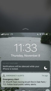
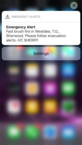
When Jennifer and I got back to my home (which is just above the “t” in Westlake on the map above), we gathered my valuables, camera stuff, archived slides, external hard drives and storm chase tapes. These were all in boxes already, for the most part, and ready to heave into the back of the SUV. As a storm photographer, I was eager to shoot the fire. And, I knew that the entire area was very vulnerable. There was a chance that I might come back to no condo. Our phones beeped with an evacuation message for the Oak Park area (north of Agoura Hills), and I knocked on the doors of a couple of neighbors to make sure that they were aware of the situation. Lastly, I packed up a suitcase and my bathroom stuff, and we headed out with a loaded vehicle. It was around midnight.
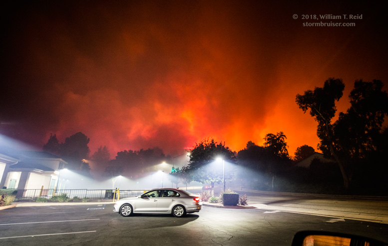
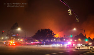
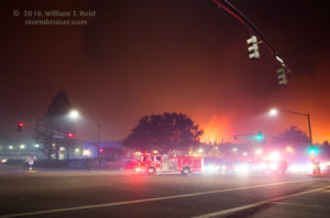
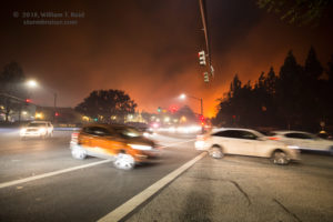
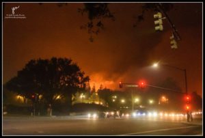
We headed up Westlake Blvd. to the intersection of Kanan and Lindero, in Oak Park. It was a bit of a madhouse, with a long line of vehicles evacuating on Kanan from the east. The flames were very active in the hills just to the northeast and east here, and I knew that plenty of houses must have been very close to the fire. We parked in a parking lot on the southwest corner of Kanan and Lindero. The air was smoky and sirens were sounding everywhere, it seemed! Some people were hanging out near the intersection with cameras, and others seemed to be in distress and not sure what to do. But primarily, lots of vehicles were loaded with people and stuff and were turning south onto Lindero to flee the fire.
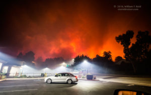
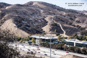
Jennifer and I were here for maybe 30 minutes, and we were starting to smell like smoke. The fire moved rather slowly and methodically southward, towards Kanan Road, and soon some brush was burning south of Kanan. It was time to give it a little more space. We relocated south to the Ventura Freeway and looked for a spot with a good view to the north of the entire fire area. We found a corporate business parking lot on the south side of the 101, and I shot some stills and video from here. Later, we ventured into some of the Agoura Hills neighborhoods on the north side of the 101, between Reyes Adobe and Kanan. The police were starting to block off a number of neighborhood streets now, and we weren’t able to get very close to the front end of the fire here. About this time, we stopped at the CVS store at Kanan and Thousand Oaks Blvd. for some bottled water and some smoke masks. Normally empty at this hour, the lot was filled with dozens and dozens of vehicles. Inside were folks who had just evacuated the Oak Park area, just up the road. The CVS had just sold its last mask as Jennifer walked in.
It must have been close to 1:30 a.m. by now, and we headed west on Thousand Oaks Blvd. to Via Colinas and Hidden Canyon, a previous place of residence for me. The flames were coming down the hill on the east side of Hidden Canyon, and the situation looked bleak for the condos up there. (On the day after my first Christmas in Hidden Canyon nearly 19 years ago, Hidden Canyon was under an evacuation order as a brushfire threatened. Flames reached the edge of the complex, but that event was relatively minor with no damage.) Now, there was a mandatory evacuation order for much, or nearly all, of Agoura Hills and Westlake Village (at least north of the Ventura Freeway). The dry winds continued strong and gusty, and the smoke plume was bad just overhead. Though there was a lot of firefighter presence around, you KNEW that there was no way that all areas could be protected. And, at night, there is little or no assistance by helicopters and other aircraft. I noted that, though the fire looked quite intense at times near the tops of the hills, it was not advancing quickly to the south where it had to go DOWN hillsides.
As we watched the flames approach Hidden Canyon, we were told to evacuate to a school in the San Fernando Valley (15 miles to the east) by a well-armed, military-looking individual. I said “okay” and drove west on Thousand Oaks Blvd. to check on my place, just a mile away. I live in a condo complex that is in the bottom of a canyon along Westlake Blvd. There is, or was, plenty of empty land with dry brush on the west and north and east sides. A lot of high-end homes are to the north and northeast in the North Ranch area. Would this place survive? Everything was still okay around my condo complex, but it was a surreal feeling as I went into my place again. A fireman was running from condo front door to condo front door on my street to make sure that no one was inside and unaware. Jennifer asked if there was anything else that I should put into the Xterra. I couldn’t think of anything. She was nervous about staying here. So was I, but I was contemplating staying put to make sure that no rogue burning embers started a fire that could be easily extinguished with my trusty garden hose. If a “wall of flames” got too close, then we could escape via the condo complex front gate (which exits to the south, fortunately).
Well, that might seem like a reasonable plan, but it really was not a good idea for us to take any dumb chances with our lives. We decided to get back into the Xterra and to put some distance between us and the fire. But first, I restarted my weather station program on the computer. It had stopped around 11:30 p.m. due to a brief power failure, apparently. The time was 2 a.m. The power was still on, and the wi-fi was still working, and my weather station information was again uploading every five minutes as usual.
I was very concerned for my neighborhood and condo now. This was the scenario that I knew was possible, which I knew would likely occur someday, and which was happening now. Or almost now. An out-of-control wildfire was being steered towards my home by Santa Ana winds. There were some things which might help me come back to good news. My condo complex was generally green with grass and well-watered bushes which were not very likely to burst into flames. There are plenty of trees, and I had no idea how readily these might burn if embers were falling onto them. A couple of trees are very close to the north side of my condo. Too close. Hopefully those are inflammable trees. The other thing was that the fire did not seem to be raging down my canyon towards the lower sections, where I lived.
We went west on Hillcrest, and parked just west of Erbes, a couple of miles from my place. The orange glow to our ENE gradually sagged more to our east, and my concern increased. Was my condo complex burning? There was one way to find out if MY condo was still standing. I was able to check my iPhone for my weather station updates. Every five minutes, I prayed that I would see a new weather update. If there was no update, then either the power or Internet or computer or weather station had failed, or worse. The updates kept coming, to my relief! The temperature increased from 65F to 66F at 3 a.m., which I did not like!
It was terribly nerve-wracking to watch this unfold from a couple of miles away. I had to see what was going on near my home. We went back towards the fire area on Hillcrest and came upon my condo complex — it was still there! The fire was nearby, in the hills to the north and northwest, less than a few football fields away. The good news was that the wind was basically from the northeast, and there was no fire to the northeast. The wind would be blowing these active flames away from my home, for the most part. We went back to Thousand Oaks Blvd. between Duesenberg and Hampshire, and I felt a lot better for now. I shot more photos of the fire to our north.
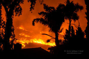
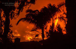
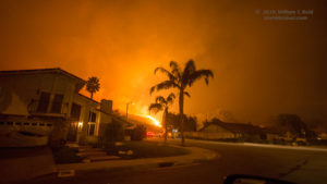
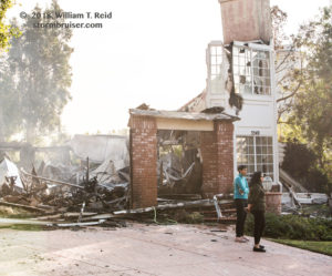
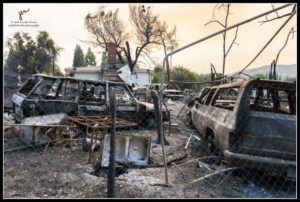
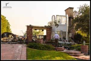
Burning embers were falling around us along Duesenberg, between Hillcrest and Thousand Oaks Blvd. The flames came up to Hillcrest, and firefighters were there to protect the neighborhoods nearby. The winds were swirling and erratic near the fire. Someone was on his roof with a hose. A palm tree was ablaze in the Westlake Hills neighborhood. The smoke was really bad. The surreal scenes on this surreal morning continued, but there was good news. The fire was not sweeping through and gobbling up neighborhoods. We would find out later that a good number of homes had been lost in Oak Park and North Ranch, up in the hills for the most part. But the neighborhoods in the lower parts of Westlake Village and Agoura, the ones near Thousand Oaks Blvd. and Hillcrest, were largely spared.
Jennifer and I sneaked (snuck?) back into my condo complex. A fire truck was on my street, and they announced that I could not come back into my condo. We turned around and parked in a spot on North Valley Rd. where we could monitor flames on the hill just to the west of the complex. From here I could also see for sure if there was anything bad occurring at my own place! Some other vehicles were going back and forth, and I prayed that no one would shoo me out of there. The clock went past 4 a.m. and it slowly became more apparent that the worst was past. The hills to the west and northwest and north had burned, and there was nothing threatening my complex from the northeast. The firemen left momentarily and we went back into my condo, opening and closing the garage door quickly! Everything was still looking good. We turned the TV on and got caught up a little on what was happening, though we really had a better idea than the media. Or maybe we didn’t turn on the TV. I was really sleepy.
It would be foolish to fall asleep inside the condo with all of the fire around. But we really did seem to be in the clear. We nodded off with one eye open, sort of, and got a couple of hours of sleep.
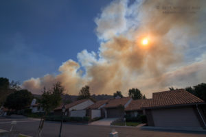
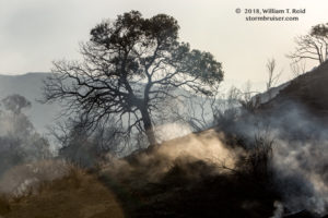
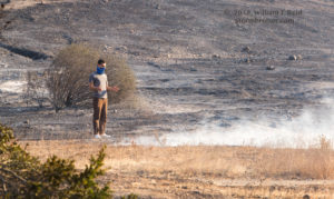
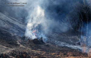
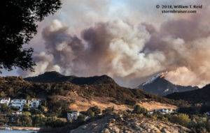
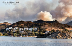
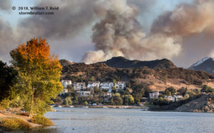
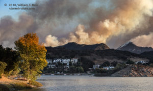
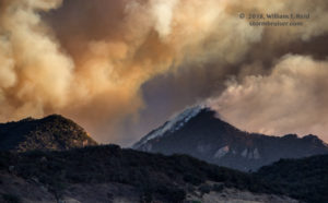
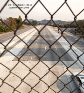
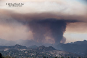
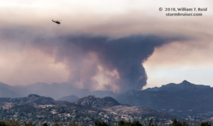
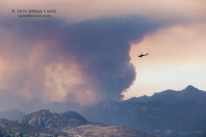
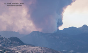
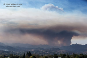
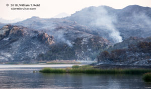
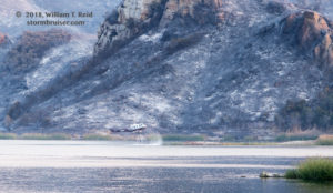
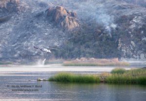
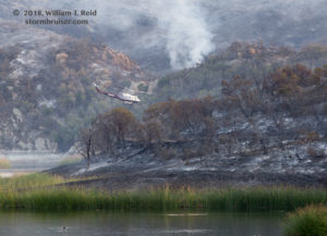
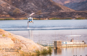
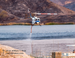
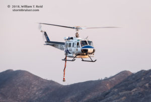
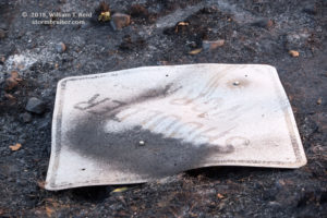
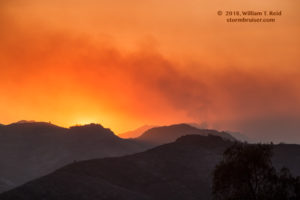
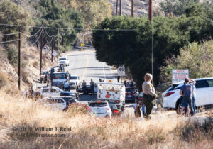
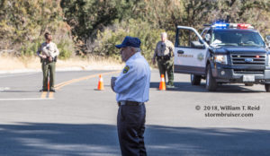
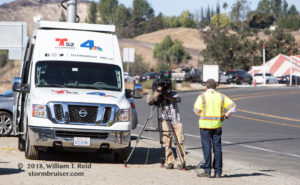
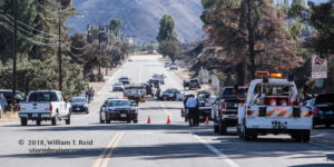
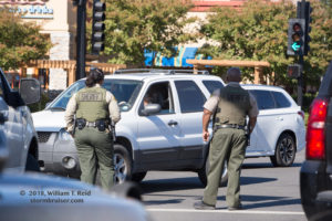
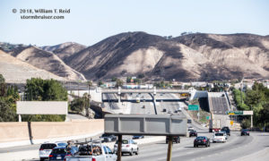
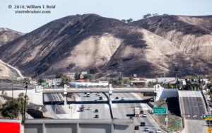
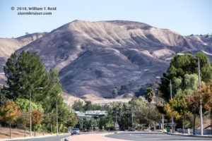
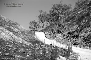
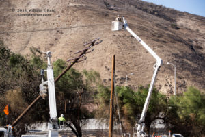
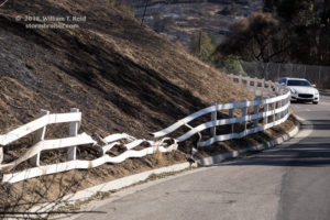
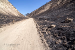
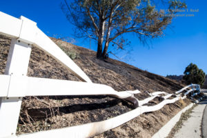
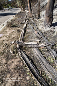
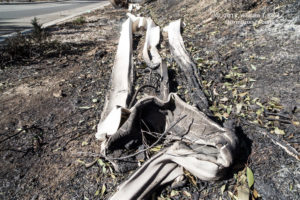
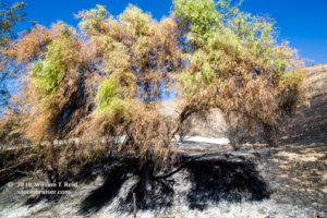
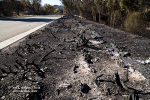
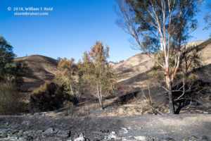
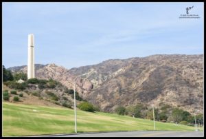
Later, on Friday, November 9th, we drove around Westlake Village a bit to get some photos. The place was a ghost town, businesses were closed, the streets and freeways largely empty. The area was still under a mandatory evacuation. Below are some shots, the last few near Lake Sherwood. On Friday, the fire swept through Calabasas and much of the Santa Monica Mountains, with terrible loss of property and a few deaths.
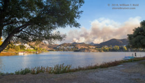
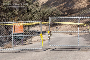
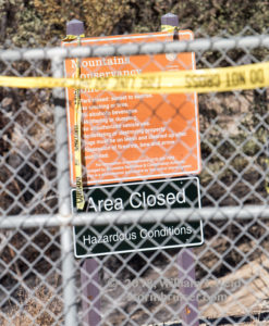
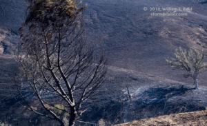
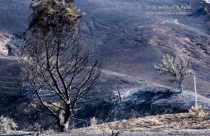
It was much the same the next day, November 10. Here are some images from Westlake Village, Oak Park, and Las Virgenes Reservoir.
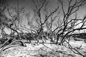
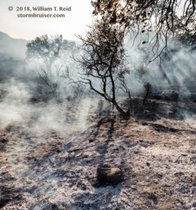
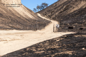
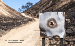
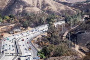
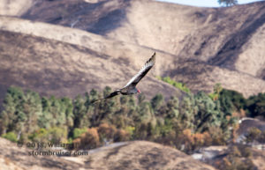
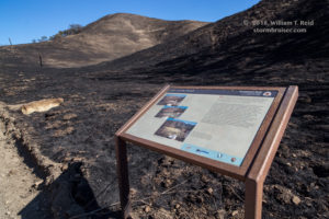
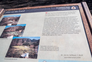
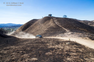
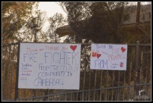
On November 14, roads were still closed in and out of the Santa Monica Mountains. Here are some images from that day, in Agoura and Calabasas
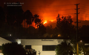
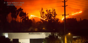
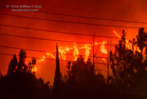
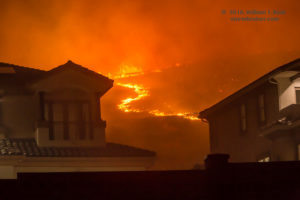
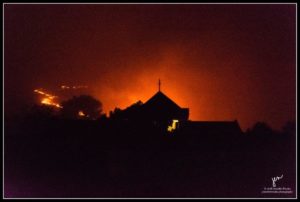
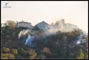
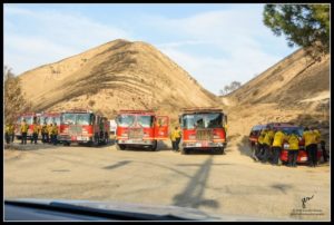
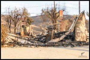
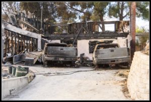
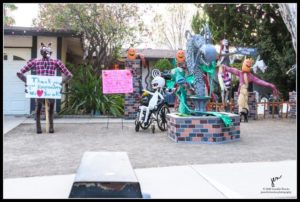
Below are images provided by Jennifer!


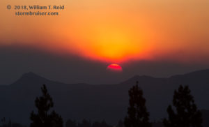
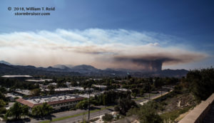
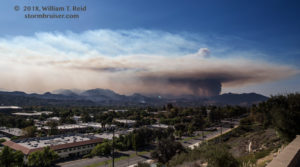
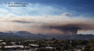
Leave a Reply
You must be logged in to post a comment.