Stormbruiser.com

William T. Reid

  • About
  • Video Links
  • Climate
  • Categories
    • Astronomy
    • Aurora/Northern Lights
    • Artsy
    • Airports (LAX and VNY)
    • Animal Day
    • Beach
    • BEST and MOST POPULAR
    • Chase Season Summary
    • Chasers and friends
    • Cumulonimbus
    • Death Valley
    • Desert
    • Desert/Mountains
    • Elevated photography
    • Eyesores
    • Fire
    • Flooding
    • Hurricane
    • Landscapes
    • Lightning
    • Local: Conejo Valley/San Fernando Valley
    • Mid and High Clouds
    • Nighttime photography
    • Old Stuff
    • Rainbows/Optical Phenomena
    • San Nicolas Island
    • Storm Video Sales
    • Stormy Skies
    • Stupid Bugs
    • Sunsets and Storms
    • Supercells
    • The City
    • Tornadoes
    • Unusual Clouds
    • Vegetation
    • Wind and Dust
    • Winter Weather
  • Contact
You are here: Home / 2019 / May 1, 2019 Northwest Texas Severe Storms

May 1, 2019 Northwest Texas Severe Storms

May 1, 2019 By William Reid Leave a Comment


Start:  Abilene

Lunch: Anson

End:  Altus

SPC Day One Outlook/1630Z

SPC Mesoscale Discussion 493

SPC Mesoscale Discussion 494

 SPC Mesoscale Discussion 495

Storm Reports


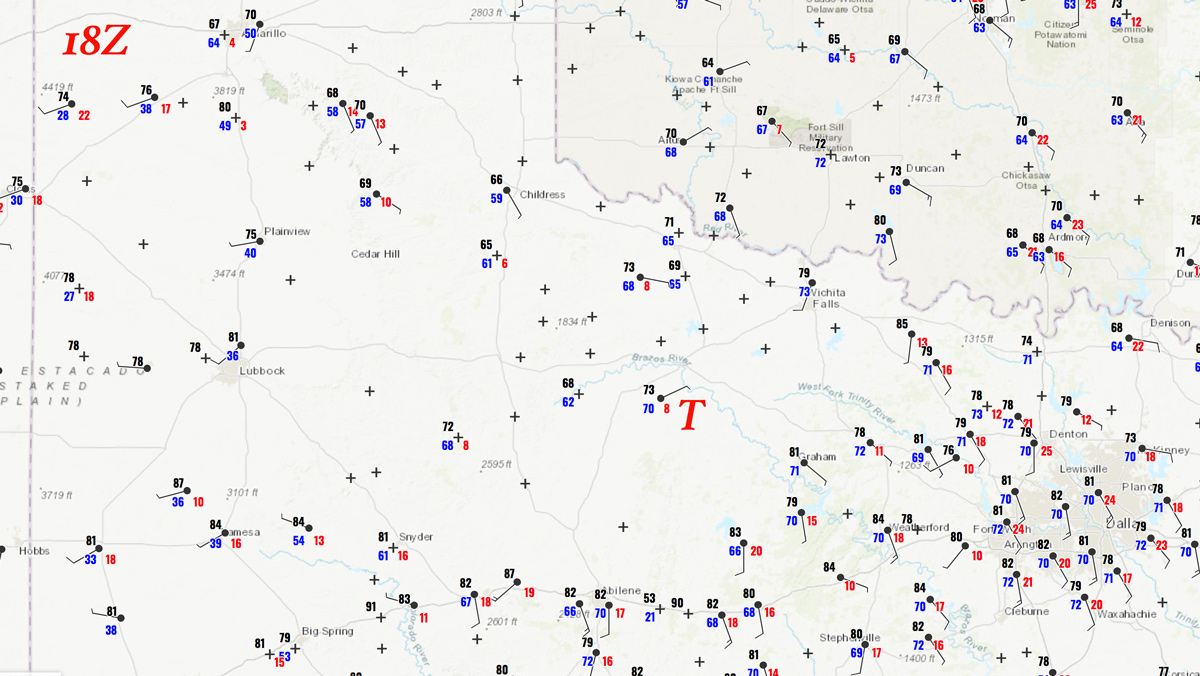
Today was a bust for Jennifer and me, tornado-wise, as I targeted the area a county or two north of Abilene (near Anson and Haskell).  The main event for the day (which was basically the ONLY event) was the tornado south of Seymour.  Jennifer and I had a quick lunch in Anson, and storm towers were already going up in our vicinity right after lunch (around 1 p.m.).   Soon afterwards, the Seymour storm developed, with the tornado along U.S. 183 south of Seymour around 2 p.m./19Z.  I thought that hanging back to the southwest was a better idea than trying to get to the Seymour storm, and it is very doubtful that we would have made it in time for the Seymour tornado if we had tried to get there immediately after lunch.


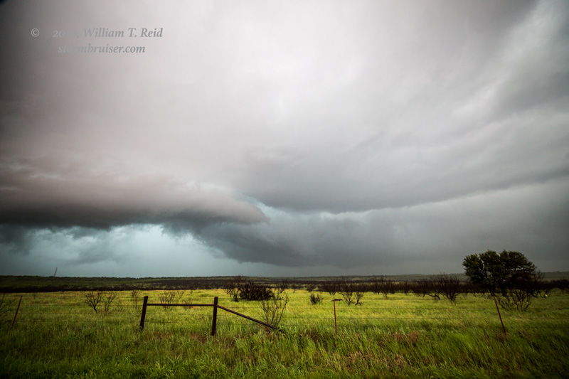
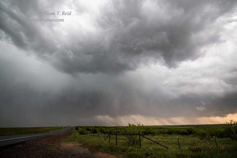
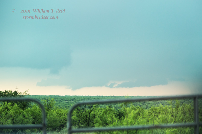
Marginally severe cells went up in the Stamford and Haskell areas and drifted to the east.  These organized a little bit, but were generally wet and messy with little worth photographing.  We wound up around Throckmorton and ran around hoping that something could get going, but there was just too much convection and the storms were now undercut by cool outflow air.

The window for tornadoes was very early on this day, and the window was closed after the Seymour event.

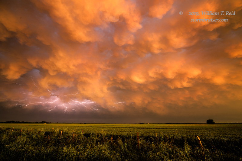
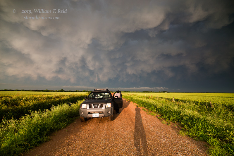
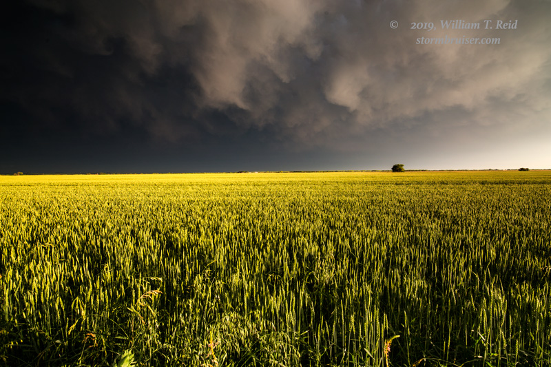
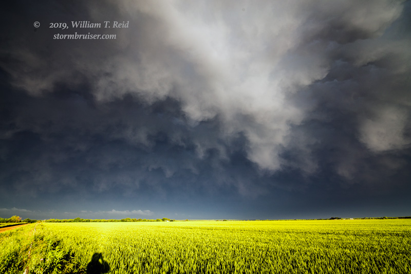
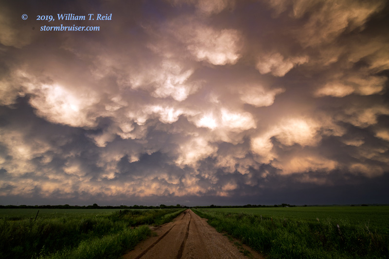
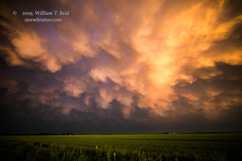
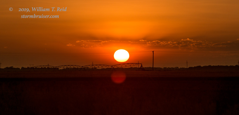
We scooted up to the Seymour area to get beneath the large storm anvil for sunset, winding up with a great sunset and mammatus display.


Filed Under: 2019, Lightning, Mid and High Clouds, Sunsets and Storms, Supercells, Unusual Clouds

Leave a Reply

You must be logged in to post a comment.

Search

May 2019
S M T W T F S
 1234
567891011
12131415161718
19202122232425
262728293031  
« Apr   Jun »

Categories

Archives

Copyright © 2025 stormbruiser.com · Log in