
Start: Oklahoma City (Tour 2)
Lunch: Woodward (fast food)
End: Liberal, KS
488 miles
For the first day of Tour 2 I elected to head to the middle of the Oklahoma Panhandle. Expectations were pretty low, but SPC showed a slight risk (and 2 percent tornado area) from about Baca County to Hobbs. I preferred the northern portion, where overall shear was maximized. Moisture was better along the TX/NM line, and that area wound up with a tornado or two.
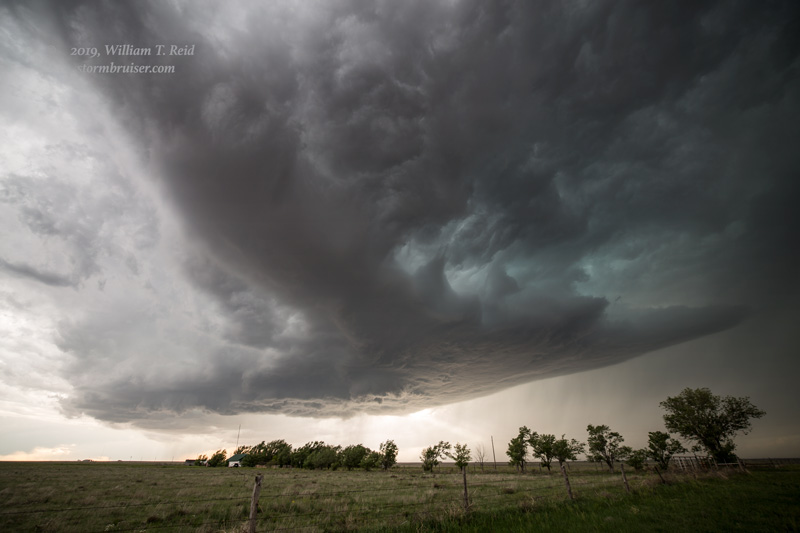
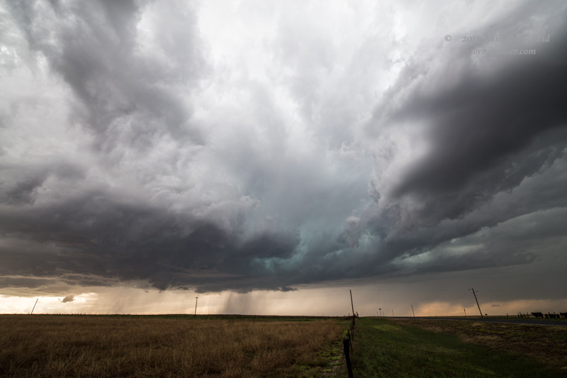
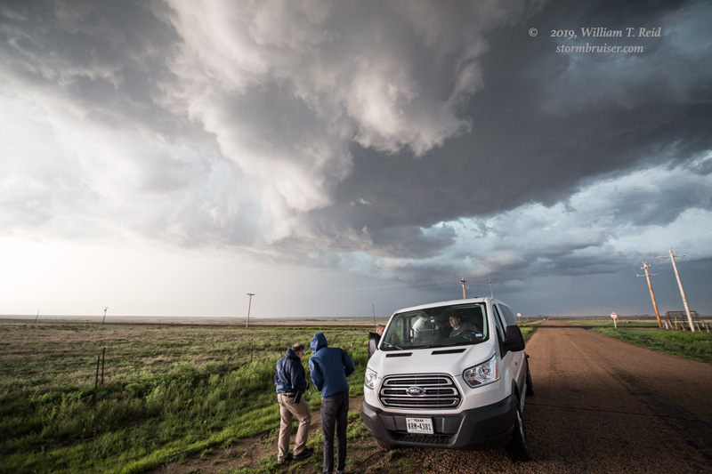
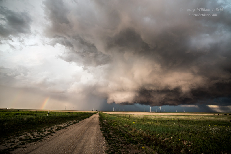
We motored up to near the KS/OK/CO triple point, NNE of Keyes. A high-based cell was slowly organizing as it came at us out of southeastern Baca County in Colorado. It showed us some nice structure and an active storm base for quite a while.
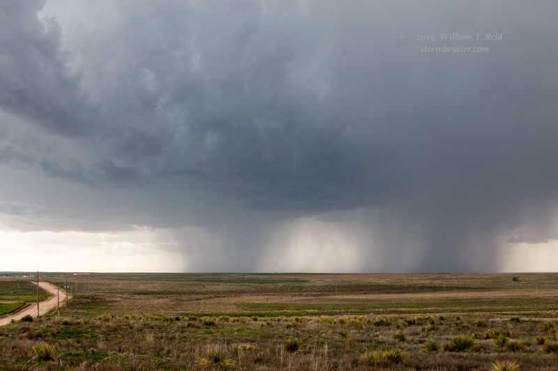
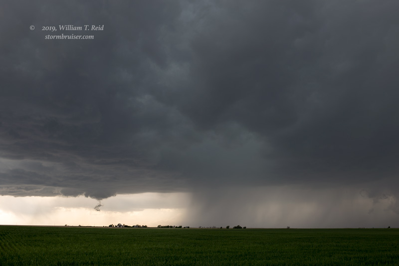
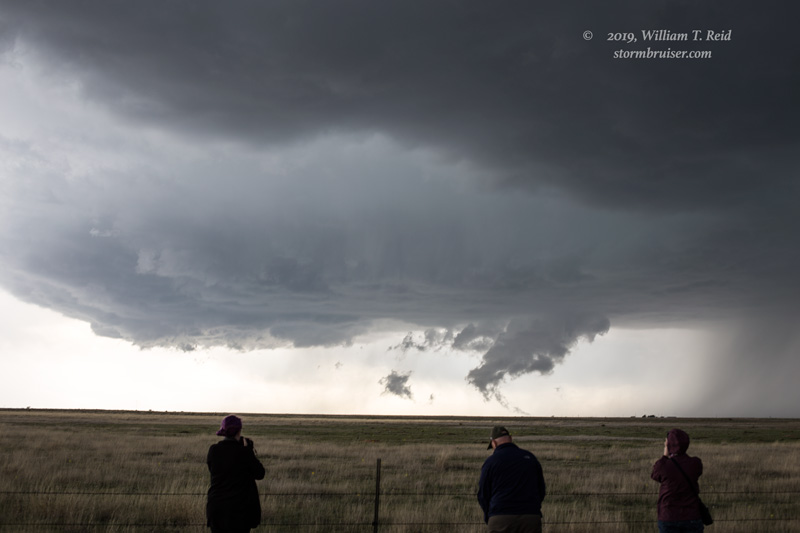
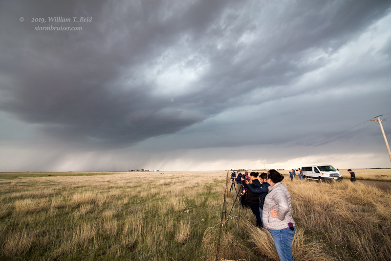
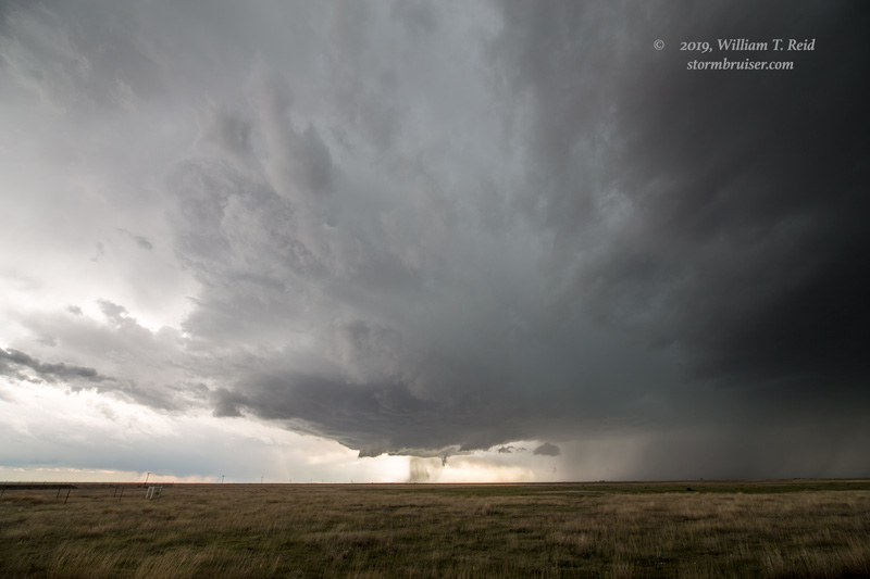


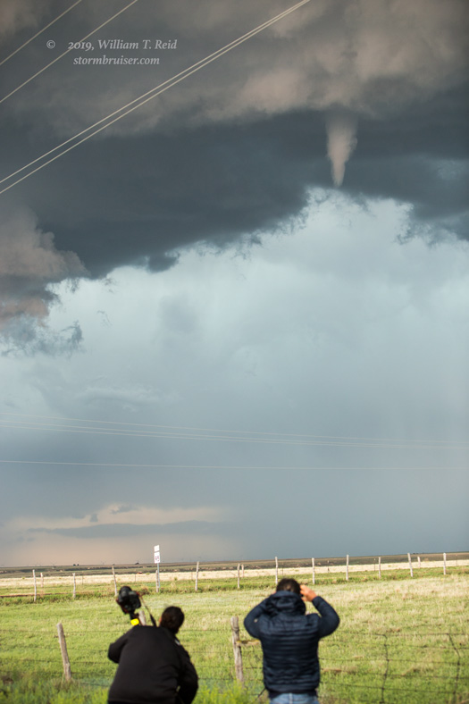
It dragged us southeastward, and we watched it go by to our north and east along 95 between Eva and Texoma. A stubby funnel cloud teased us for a couple of minutes, too.
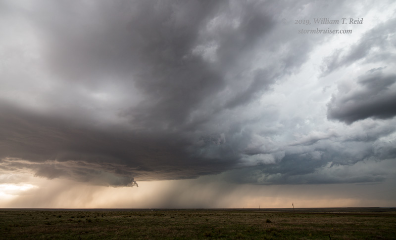

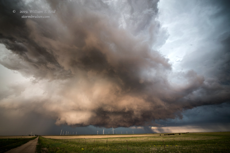
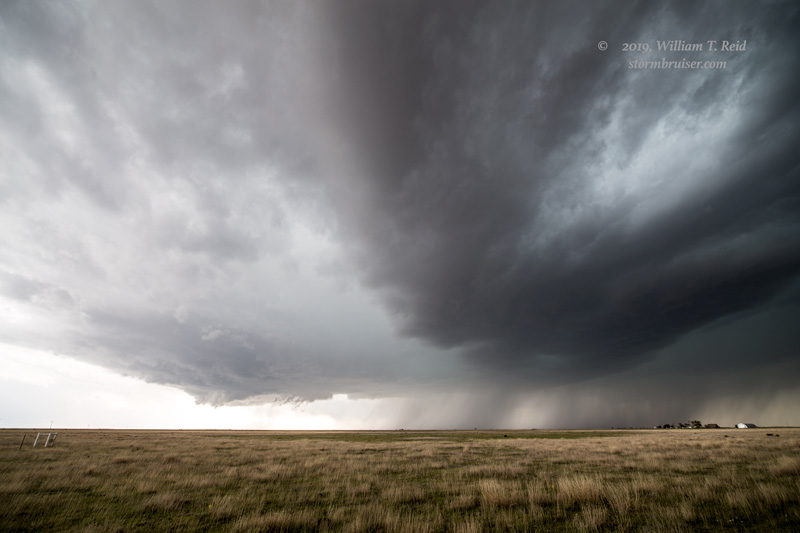
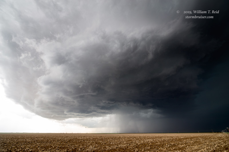
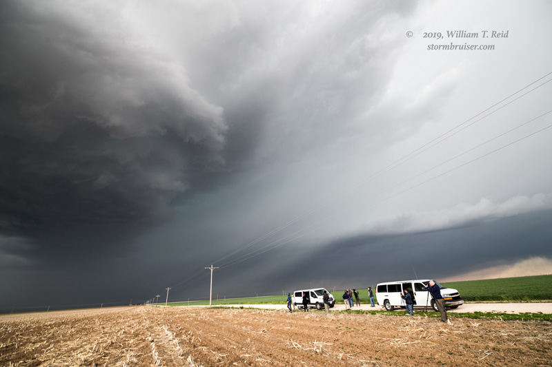
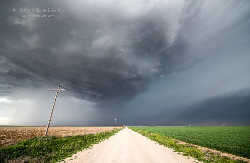
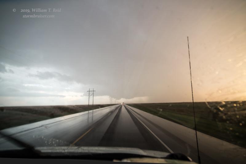
At Texoma, I blew off the now under-performing and messy convection nearby and aimed for Stratford, to the southwest, where newer development beckoned. This supercell had a pretty good look as we approached. I tried to beat the hail core to Stratford and failed. We found some protection from the golfball-sized stones in Stratford, but one of the vans was already in need of a new windshield. oops. This is a look down 54 to the southwest, several miles from Stratford and a couple of minutes before the hail.
Leave a Reply
You must be logged in to post a comment.