Start: Guymon, OK
Lunch: Amarillo (Subway)
End: Sayre, OK
447 miles
SPC Mesoscale Discussion 567 SPC Mesoscale Discussion 569
SPC Mesoscale Discussion 570 SPC Mesoscale Discussion 571
SPC Mesoscale Discussion 572 SPC Mesoscale Discussion 573
SPC Mesoscale Discussion 574 SPC Mesoscale Discussion 575
SPC Mesoscale Discussion 576 SPC Mesoscale Discussion 577
SPC Mesoscale Discussion 578 SPC Mesoscale Discussion 579
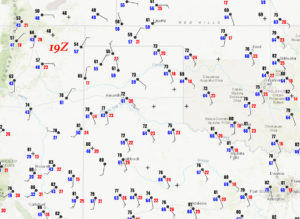
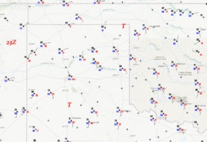
19Z and 23Z surface maps:
An upper low was over Arizona this chase day, providing very favorable SW flow aloft over the Panhandles. Moisture was good but not spectacular. A cold front was edging southeastward through the Amarillo area around noon as we arrived for a very quick lunch. I was nervous about storms forming near this triple point, near Amarillo, and then riding the front to the northeast and getting undercut by the cool air behind the front. Another play was down south on the dry line, and another might be farther northeast (in the northeastern TX PH), where the cold front might not be as strong, and where it might even start drifting back to the north as a warm front later in the day. The bottom line forecast-wise for me: not a whole lot of certainty as to where the best play was.
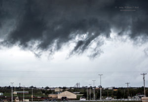
We were right on the front at Amarillo right after lunch, and some towers were developing near town. Southeast winds were gusting to 30 mph at Amarillo Airport. We may as well see what happens around here! We went south of town a tad, and then came up to a healthy updraft that was a little southwest of Bushland (which is just west of Amarillo). It organized quickly and was sporting a nice lowering as it neared I-40.
The supercell was moving to the northeast, and was looking more and more tornadic north of I-40. I elected to scoot east on I-40 and north on 335 (the northwestern loop around Amarillo) to get in front again. The storm may have produced a brief tornado during this time of repositioning. We wound up stopping east of the storm base at U.S. 87 and Mobley, near the northern edge of Amarillo.
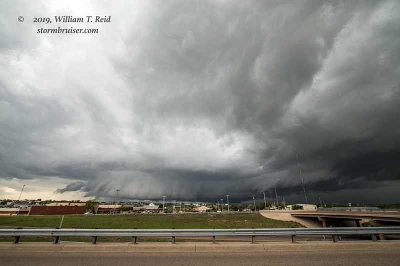
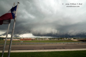
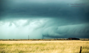
The storm base/wall cloud showed strong rotation, and a funnel cloud teased the ground to our west. It looked like the storm was about ready to give us a show, but the base drifted off to our north, unable to spin up a tornado. And, the storm was getting that undesired cold and wet and ugly look. Note the flags in the foreground below (in the view to the west). There is a northerly component, so I figure that the storm was behind the cold front at least a little. Its chances of producing a tornado were diminishing rapidly, and I had to consider another area.
Another supercell was in the works well to our south, on the dry line, southwest of Tulia. This was a little more than an hour away, and it would be an easy catch since the storm was moving to the northeast. The environment in front of it looked decent for tornadoes, too! The other chase option at this point would be to head into the northeastern Texas Panhandle, but I envisioned poor road networks and messy, outflowish HP supercells in that direction. As it turned out, an impressive tornadic storm took shape between about Canadian and Laverne towards early evening in that area. We headed south towards Tulia.
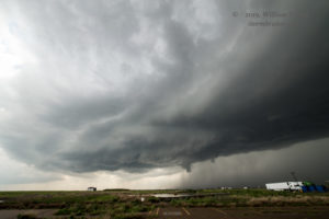
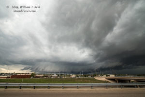
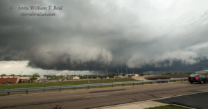
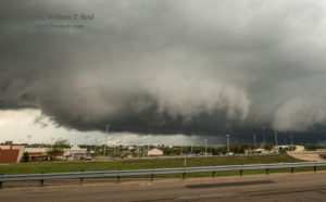
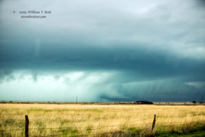
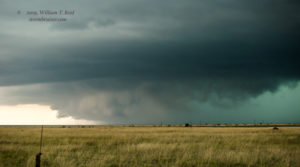
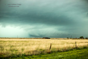
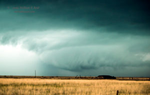
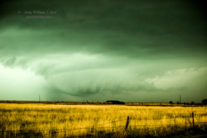
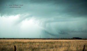
As we neared Happy and started to learn of tornadoes with the storm near Tulia, it became apparent that we would eventually run into the hail core on I-27. We could have plowed south through the rain and hail to quickly near the action area on the south side of the storm, but the radar presentation strongly suggested that that would be ill-advised. We scooted east on 146 towards Vigo Park and were afforded a view into the notch area on the northeastern side of the storm. The storm looked to be a vicious HP (high precipitation) supercell, and any tornado with it was heavily wrapped in rain and hail. (The earlier tornado was reportedly wrapping in rain rather quickly.) The views below are to the southwest, showing an impressive low-level inflow band from the north, a menacing lowering, and a heavy veil of precipitation. Woe to he and his vehicle in close vicinity to that area…but it would be thrilling! We were some 6-8 miles distant, approximately.
As the storm neared, the threat of large hail increased a lot, and we had to get out of the way. The edge of the Caprock was just to our east, though. What does that mean? It means that the road network suddenly changes from awesome to awful. We had to take 207 north-northeastward through part of Palo Duro Canyon. It seemed that the storm was catching up to us during this stretch, as the steep grades and sharp curves don’t permit much more than 40 mph with the vans! Some large stones sprinkled around us. Some sounded like golfball-sized. We barely got out of the canyon without a problem!
We set up near McLean on I-40 and watched the storm approach again, but it was still a very wet and messy HP. It was not looking as good as it was up on the Caprock. Several tornadoes reportedly occurred with this supercell on its trek from near Tulia to Vigo Park, and to near Wayside, Hawardwick and Alanreed. The tornadoes just were not visible, unless you were practically right next to them, I preume.
Severe storms and tornado warnings continued into the evening towards Erick and Sayre. We stayed in Sayre for the night, where power was out in the morning and many fields were flooded. This had been quite the weather event!

Leave a Reply
You must be logged in to post a comment.