
Start: Vernon, TX
Lunch: Baird, TX (Subway)
End: Freer, TX
576 miles
SPC Mesoscale Discussion 600 SPC Mesoscale Discussion 604
21Z surface map
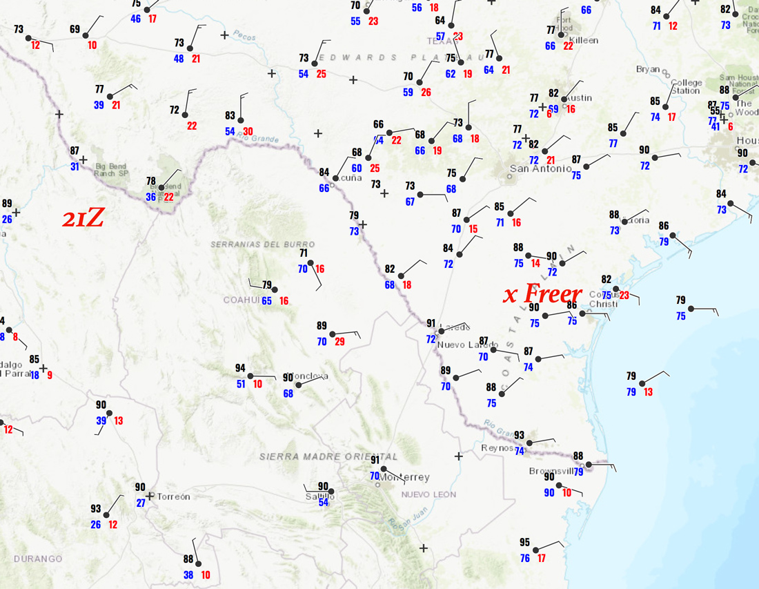
There were three days remaining for the Tour 2 group, and the outlook for severe weather on the Plains was bleak for the final two days. We had to try to take full advantage of today’s severe risk well to our south, south of I-10 in southern Texas. We dove south out of Vernon, which was cool and cloudy and drizzly with north winds. We had to get to a cold front that was sagging to the south, generally to the largely empty wastelands southwest of San Antonio to the Rio Grande. Instability and shear were looking good, but tornado prospects were quite low.
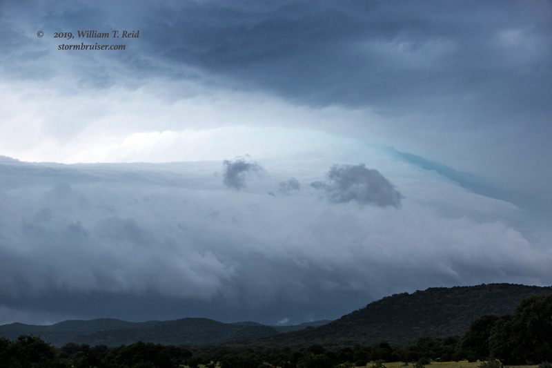
By mid-afternoon we found ourselves just east of a rotating updraft in the hilly area northwest of Uvalde.
The updraft sported some nice laminar sides, and the radar presentation was impressive, too! But, the storm was riding above a shallow layer of cool air at the surface. It, and we, were still north of the front. Models showed bigger and better storms with time farther to the south, so after a short stop to shoot this one, we continued southward.
We finally broke into the nice hot and humid air around Carrizo Springs, with a great target storm in progress to our south, near Laredo. This supercell moved to the east through a very poor road network, and by the time we got in front of it, south of Freer, it was dark and the storm was sputtering. It was a long drive for little reward, but we did get to see some flooding in Freer! That image that I took, above, near Uvalde was about the only one I took all day.
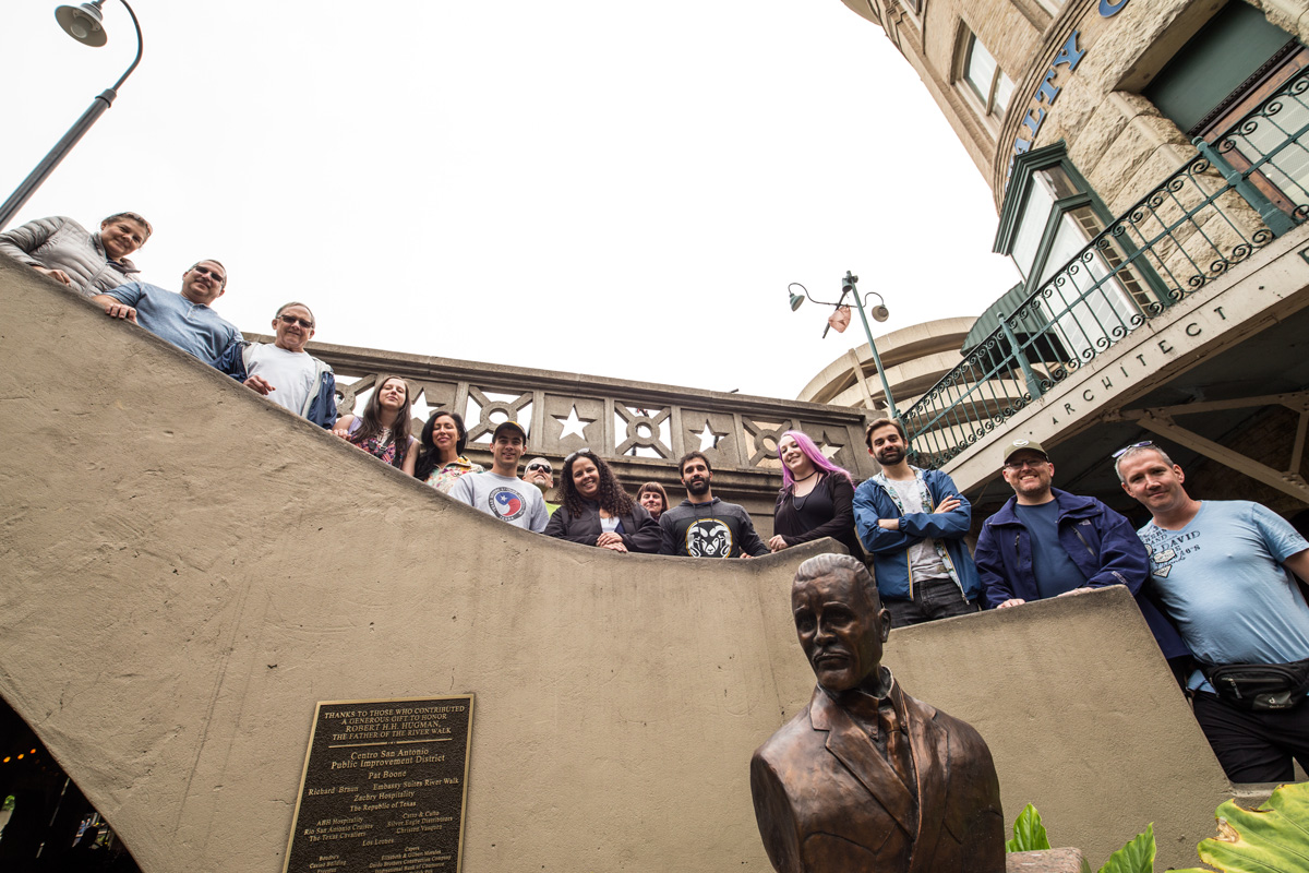
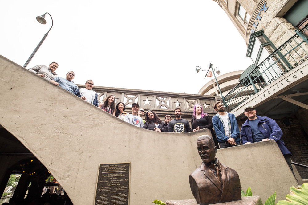
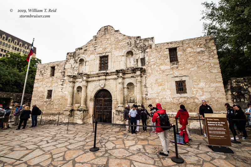
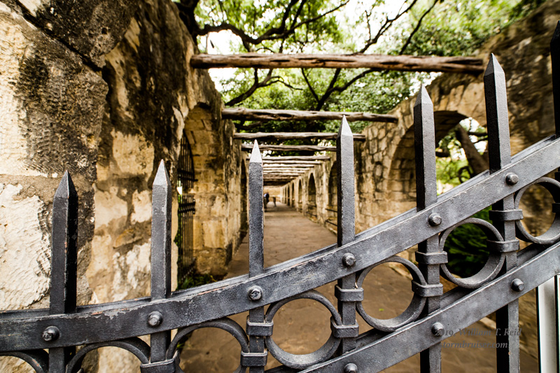
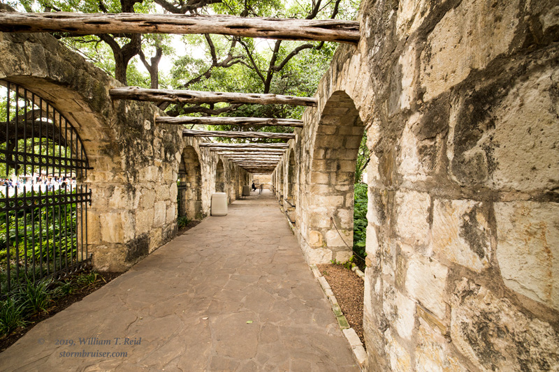
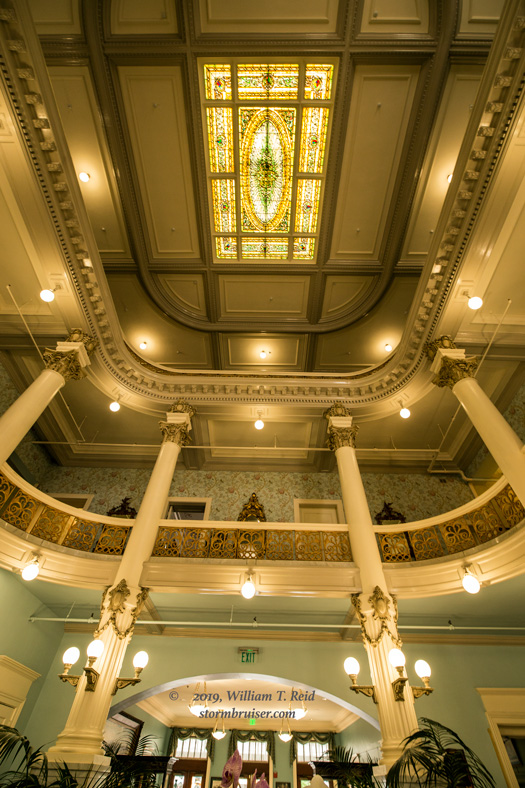
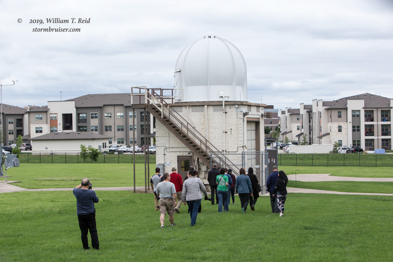
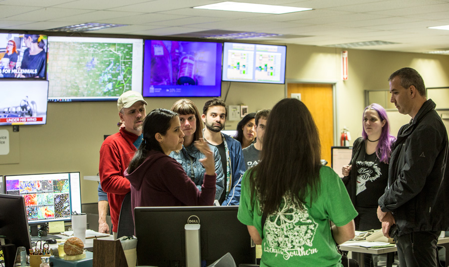
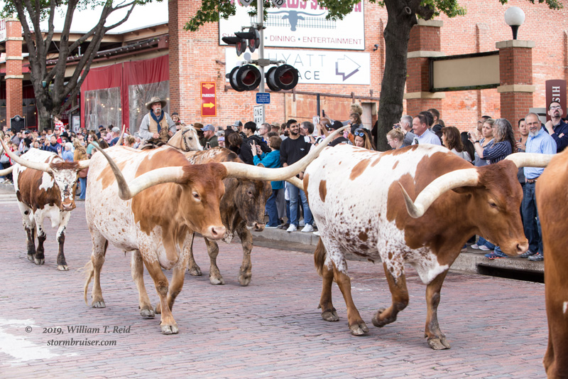
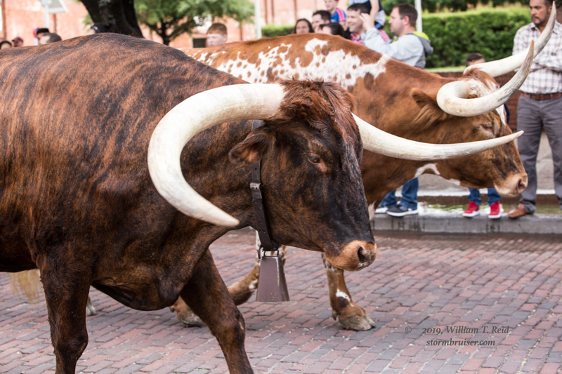
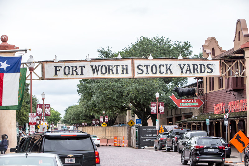
The final two days for Tour 2 were sight-seeing days in San Antonio, Austin, and Fort Worth.
Leave a Reply
You must be logged in to post a comment.