
Begin: Salina, KS
Lunch: Perry, OK (Braums)
End: Clinton, OK
SPC Mesoscale Discussion 733 SPC Mesoscale Discussion 734
SPC Mesoscale Discussion 736 SPC Mesoscale Discussion 737
SPC Mesoscale Discussion 740 SPC Mesoscale Discussion 741
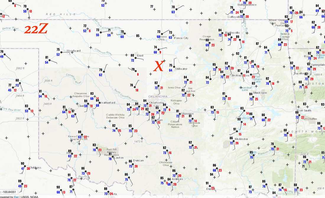
22Z Surface Map:
(May 21 wound up a bust into north-central Kansas.)
Chase account for May 22 by TT guest L. Ryan.
We had a 15-percent hatched tornado risk area to consider today. It extended from the Ozarks of Missouri into the tree-filled hills of northeastern Oklahoma. A 10-percent hatched tornado area was as far southwest as about Oklahoma City. The area near extreme northeastern Oklahoma looked best meteorologically for supercells and tornadoes. I was less than enthusiastic about the prospects of chasing severe storms in that area given the terrain and trees. And, chasing in that area would be even more difficult than usual as recent floods had closed numerous roads. I decided to try our luck a little farther west, roughly along I-35 west of Stillwater, where a little moisture convergence was evident midday. Winds were nicely backed also.
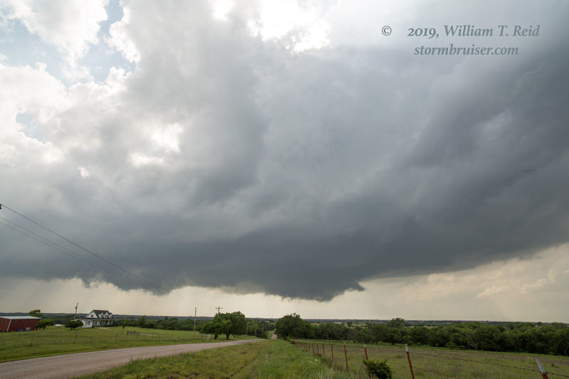
This strategy was looking really good for about 15 minutes as a tornado-warned storm with a great, low base and shallow wall cloud took shape just to our west, near Mulhall (see first image below). As the storm continued to the northeast, however, it weakened considerably. WHY?! I don’t know, but it may be because the storm had moved away from its happy spot where the good convergence was, coupled with rising 500 mb heights.
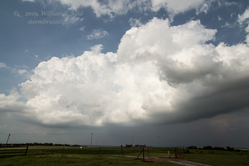
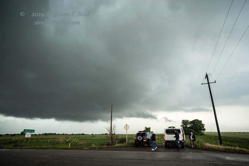
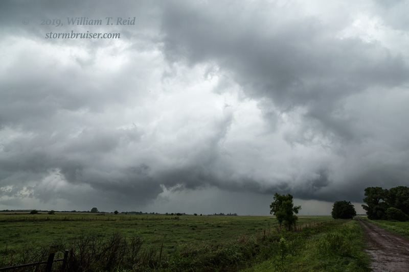
We stayed with this for an hour or so as the storm spurted up and down, but the overall look was blah. Another storm developed a county or so WSW of the original one (in Kingfisher County, below). A big RFD cut was evident for a bit, and we briefly thought that we might have something to get excited about. But again the thing was having problems going up “big time” as it limped along.
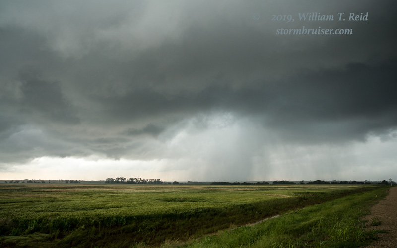
Additional opportunities seemed possible closer to Oklahoma City as sunset approached, but boring updrafts and showers were about all the atmosphere could muster. A good number of tornadoes occurred this day in the 15-percent hatched area to our ENE. Did anyone manage any good intercepts and pictures?
Leave a Reply
You must be logged in to post a comment.