
Start: Clinton, OK
Lunch: Plainview, TX
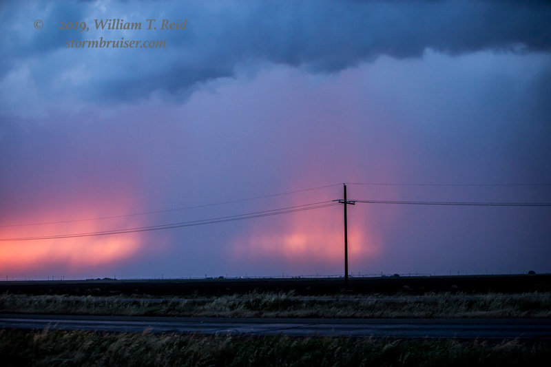
End: Childress, TX
600 miles
SPC Mesoscale Discussion 752 SPC Mesoscale Discussion 753
SPC Mesoscale Discussion 758 SPC Mesoscale Discussion 763
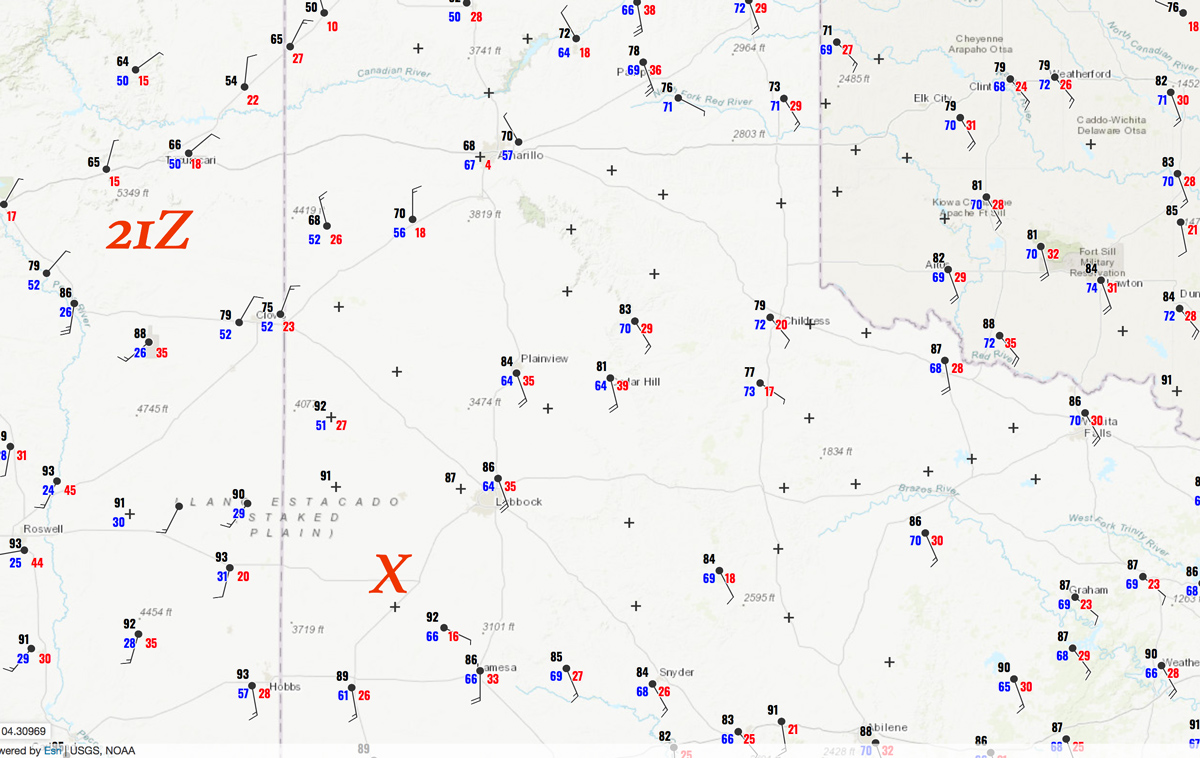
21Z Surface map:
Chase account by TT guest L. Ryan
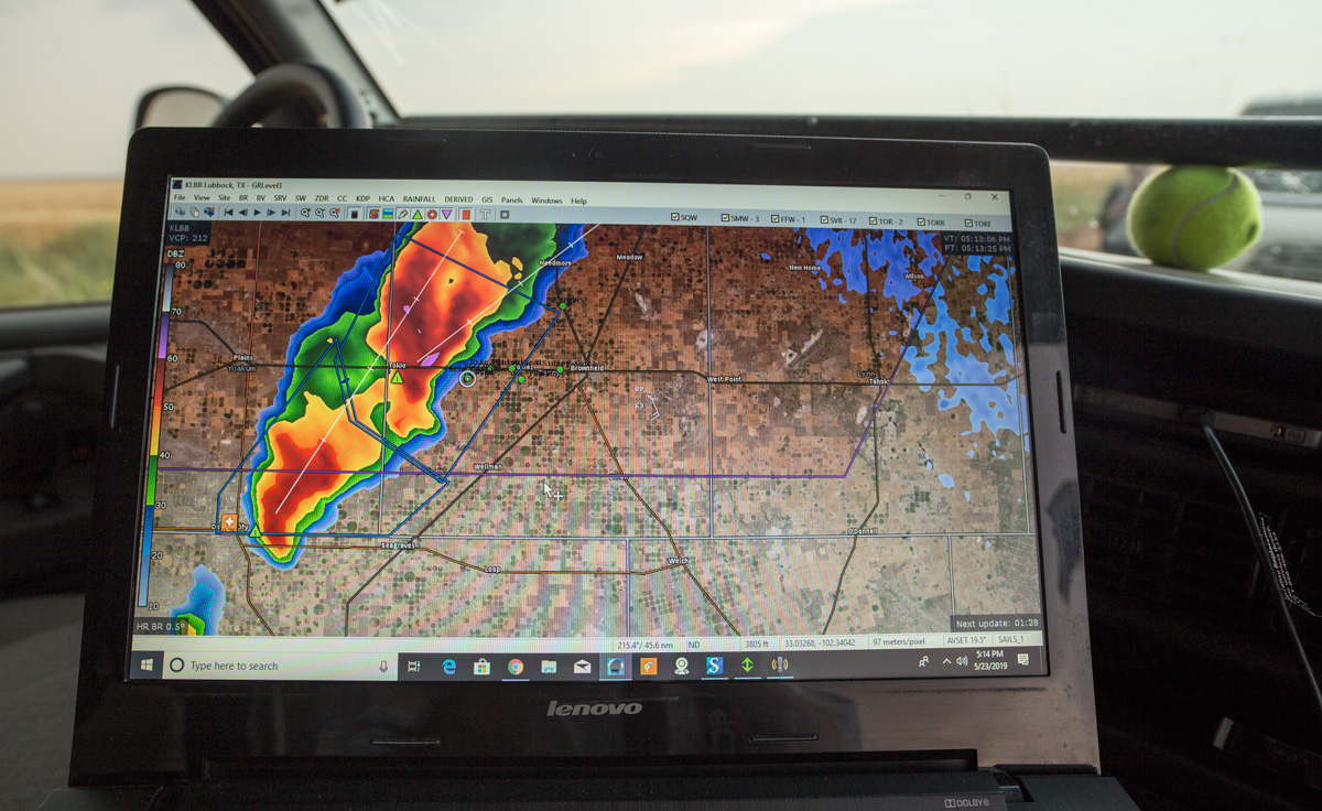
May was a bit of a tough month for me as far as getting on the best storms with the tornadoes in the Texas Panhandle. It seemed that I was often one or two counties off — should have been south when I was north, should have been north when I was south. Today I liked the area a little southwest of Lubbock, and we wound up with a couple of big-time supercells. These wrapped up and looked about ready to go into tornado-making mode, but they could not finish the deal. Meanwhile, some tornadoes occurred in the northeastern Texas Panhandle. What was the difference today? Maybe the cloud bases — the temperature/dew point spreads were quite a bit lower up north, where the tornadoes were.
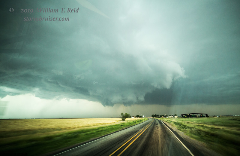
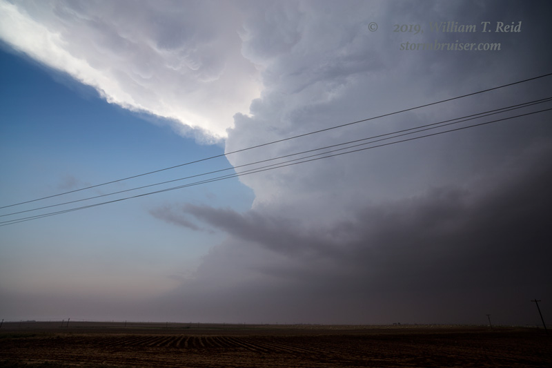
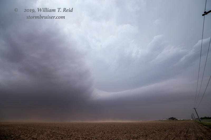
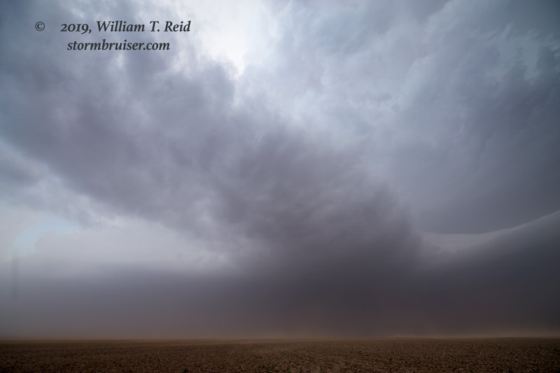
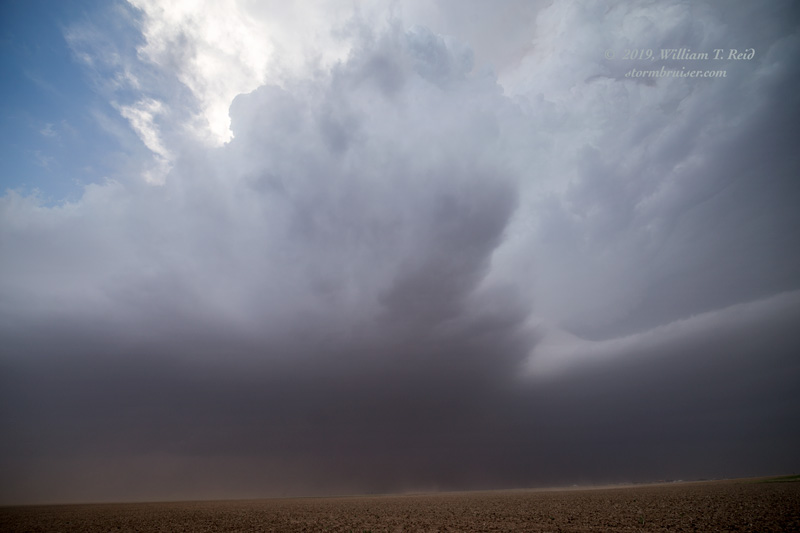
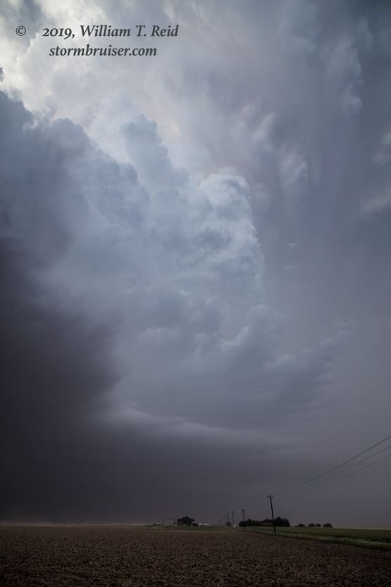
We came up to a couple of good-sized storms west and southwest of Brownfield. It was a bit hazy, but we were able to get close, just east of the updraft base of the northern cell. I wasn’t sure which cell might be most favored for a tornado.
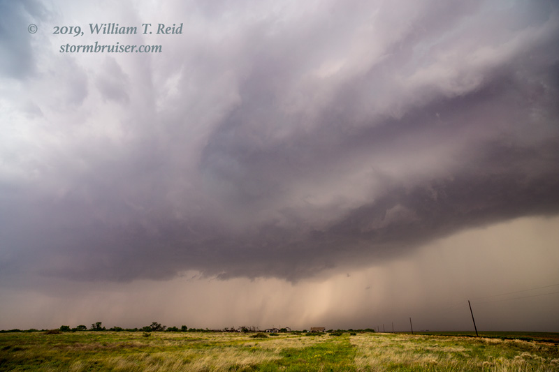
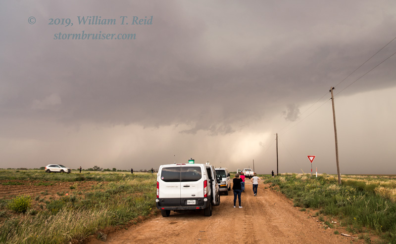
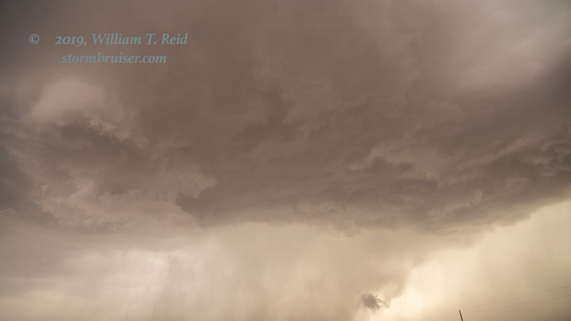
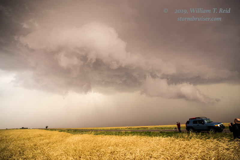
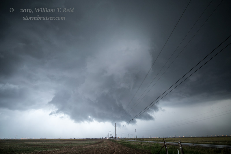
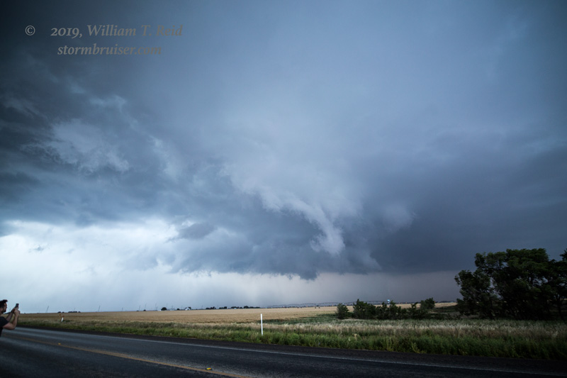
We stayed with the north cell for a bit, but then I elected to move east and south to get in front of the southern one. This one started to come into view nicely south of the town of Slide. The updraft was robust and the base was nicely sculpted. The dusty inflow and hazy air made it difficult to see low-level structure.
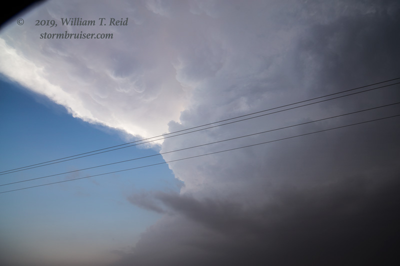
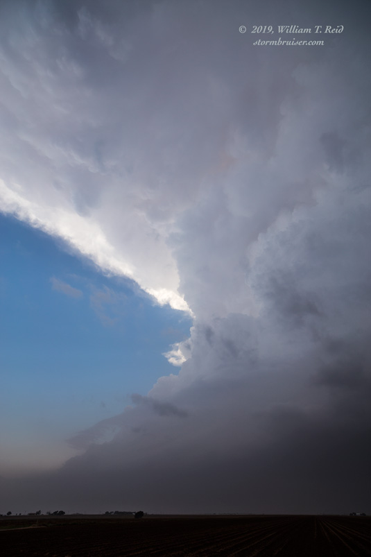
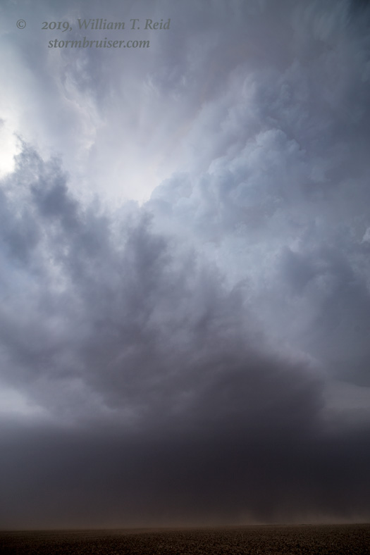
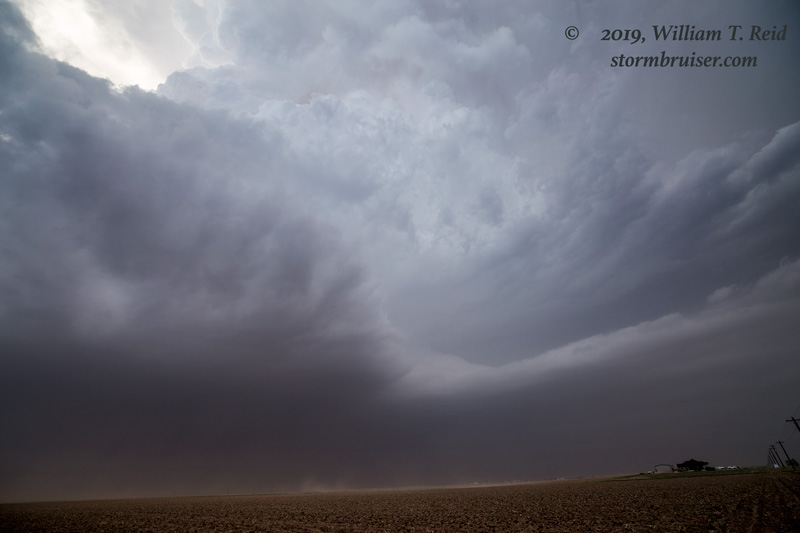
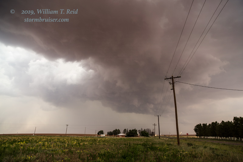
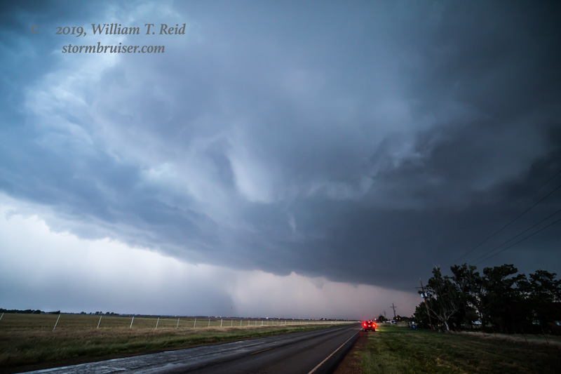
This supercell dragged us to the NNE, to the east side of Lubbock. Again a nice lowering developed and I thought we might get a tornado, but cool outflow was undercutting the storm slightly. A tornado was not going to happen with this one!
Leave a Reply
You must be logged in to post a comment.