
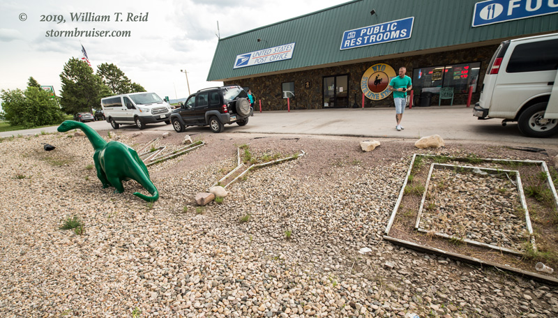
Start: Murdo, SD
Lunch: no lunch of any consequence
End: Belle Fourche, SD
367 miles
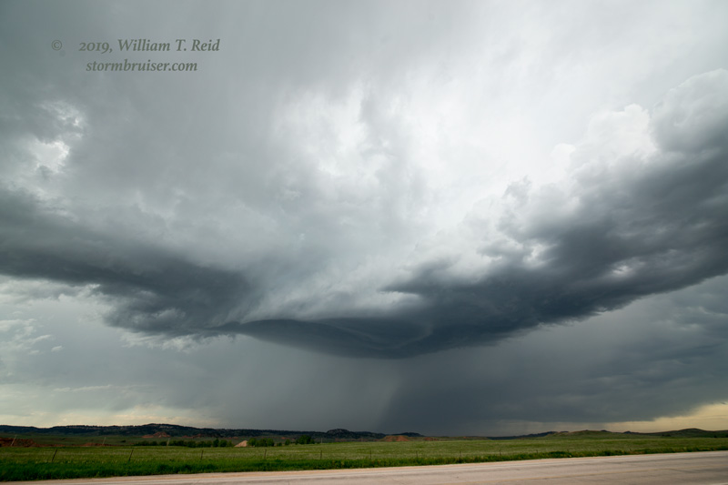
The overall pattern continued to be poor for severe weather on the High Plains. The best chance for severe weather today was well to the east, from Missouri to Indiana; and well to our south, south of I-40 in the Texas Panhandle. We were in Murdo, SD, so I opted to play the nearby marginal risk just to our west, near the Black Hills. The tornado risk was no higher than a 2% in those distant alternate areas. For us, the shear was marginal at best, and the instability was mediocre.
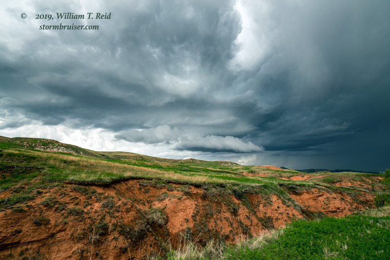
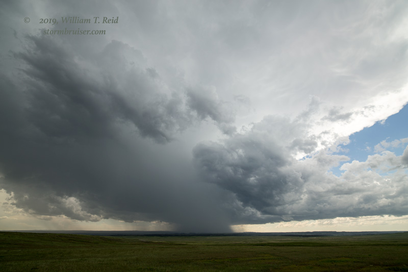
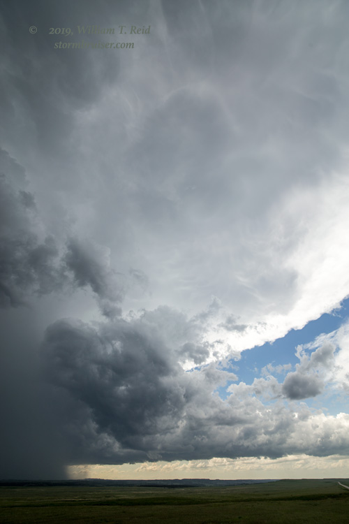
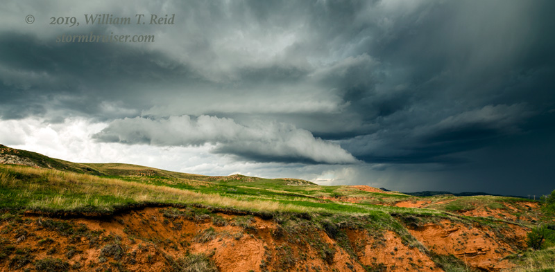
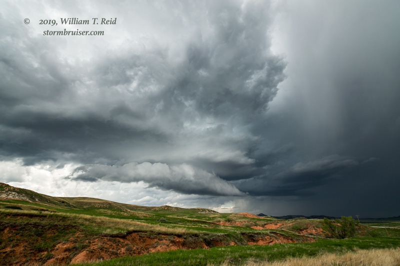
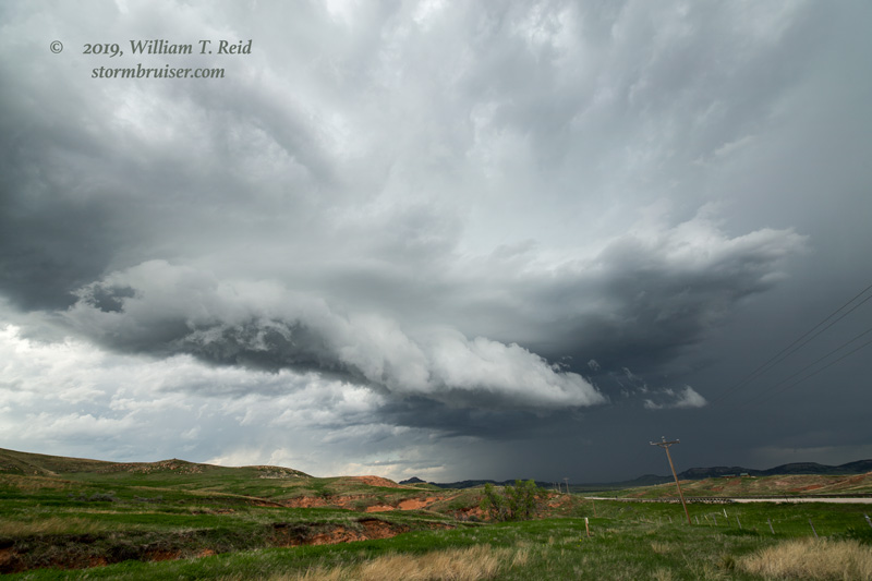
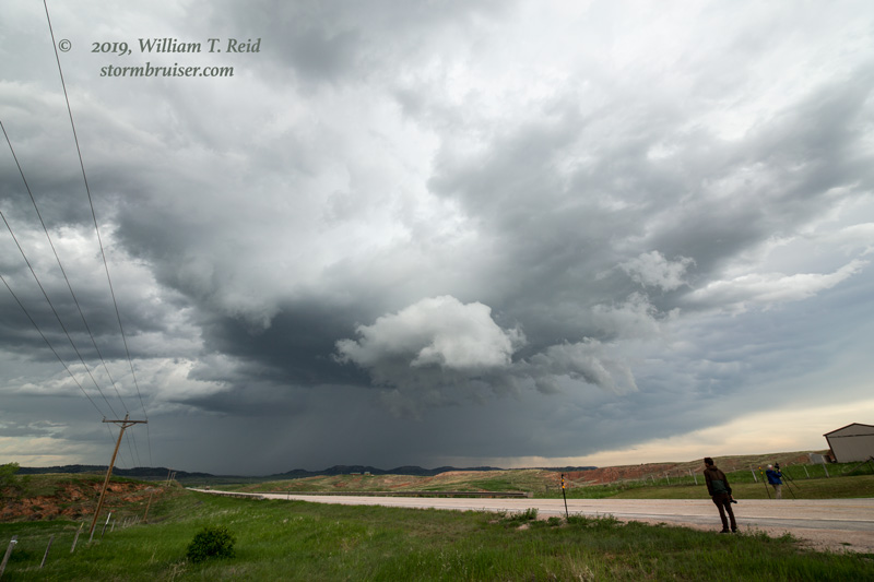
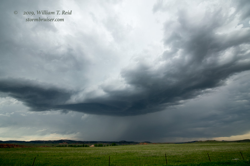
Very early afternoon stuff went up around Belle Fourche. It looked good for about ten minutes as we tried to get to it from Sturgis. This stuff fizzled quickly. I think that it detrimentally affected later activity as the atmosphere got turned over and stabilized. Still, we found a fairly healthy updraft later in the afternoon west of Belle Fourche. We eventually wound up on a persistent rotating updraft base between Aladdin and Buelah in northeastern Wyoming. This one looked decent for a while, but given the rather lame dew points, the storm base was on the high side and the tornado threat very low. The storm sputtered as it neared South Dakota, probably because the early afternoon convection’s deleterious effects.
Leave a Reply
You must be logged in to post a comment.