
June 10 (down day)
Start: Denver
Lunch: Ruby Tuesday near the base hotel
End: La Junta, CO
225 miles
Entry for June 10 by TT guest L. Ryan
————
June 11 Start: La Junta, CO
Lunch: Porky’s Parlor/Syracuse, KS
End: Woodward, OK
422 miles
Chase account by TT guest L. Ryan, with some great time lapse video.
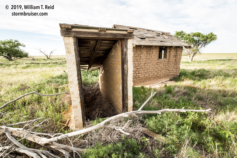
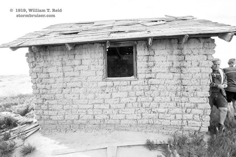
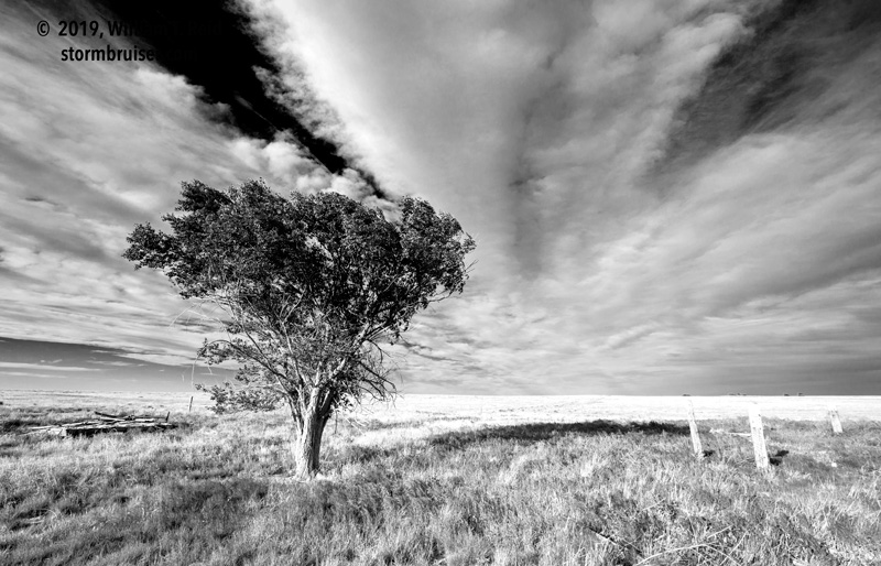
Tour 6 and Mini A, with Billy Joe Ray and Bobby Ray Joe driving, began out of Denver on June 10. The threat for storms was minimal on the High Plains, with dew points in the 30s in eastern Colorado. We did a leisurely drive south from Bennett to La Junta, with a stop or two at out-of-the-way places.
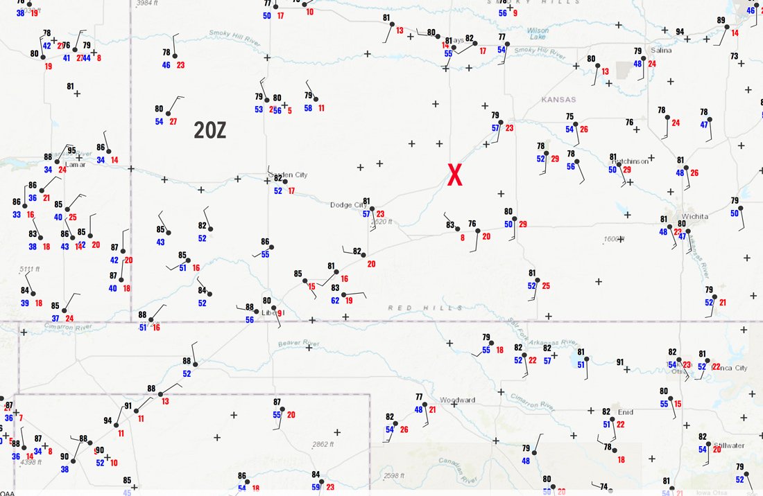
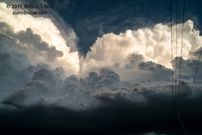
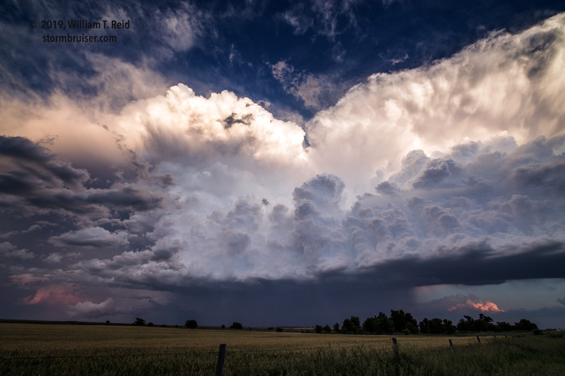
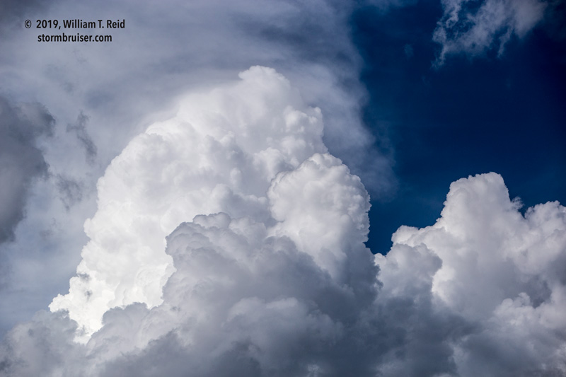
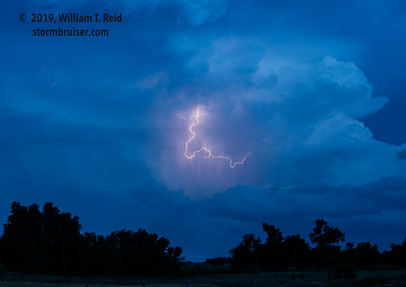
June 11 was looking like a storm day, and we had to motor eastward towards central Kansas to optimize our chances. The tornado threat was very low, as moisture was not that good. Dew points were barely into the low 60s along a tongue sticking north out of Oklahoma towards Great Bend and vicinity. An area of convergence and some occasionally perky cumulus had us waiting around at a convenient place with ice cream near Fort Dodge. Finally, a strong updraft became established near Spearville, and it drifted eastward towards Kinsley. We headed south out of Kinsley as the storm started to turn towards the SSE. It exhibited some decent structure and was throwing out some good-sized hail.
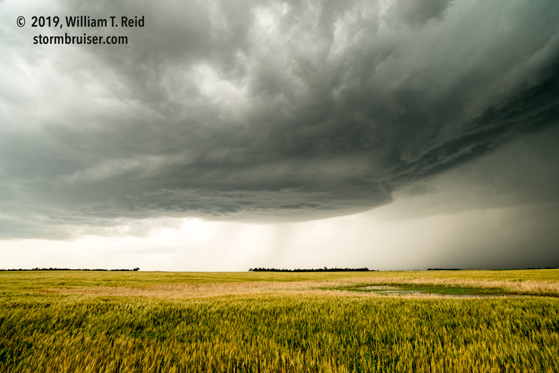
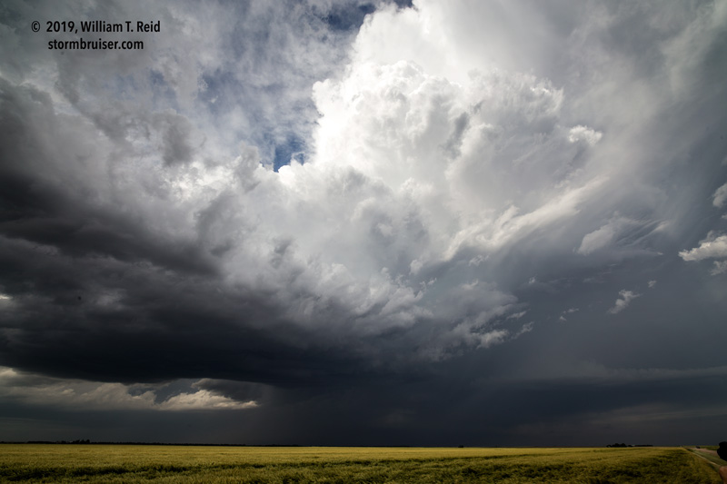
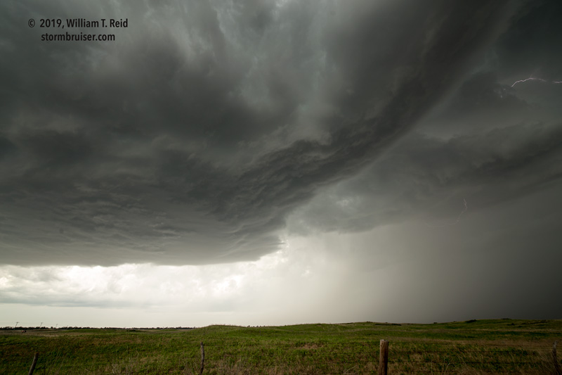
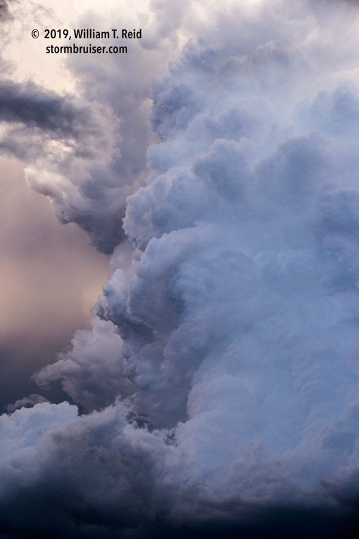
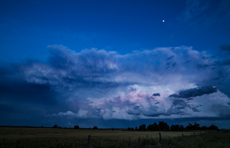
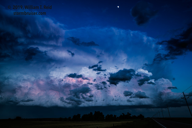
We were near the updraft base again a little east of Greensburg. There was some good motion in the clouds near the RFD, but the base was still very high. The storm was continuing to the SE or SSE, into an area without paved roads. As I was considering what to do next, a bunch of dust and dirt suddenly stirred a mile or so to our SSW. Hmmm! I managed to get some zoomed-in shots with the long lens. It looked like there was some weak rotation with this, but little else was evident which suggested that the event was tornadic.
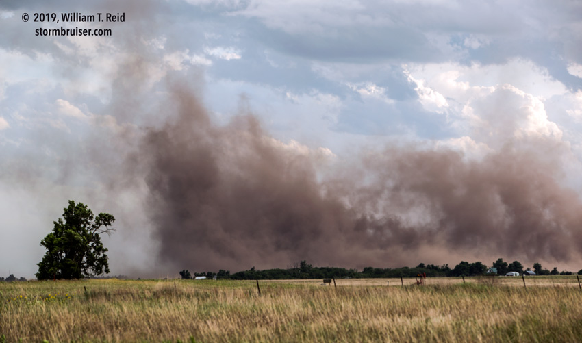
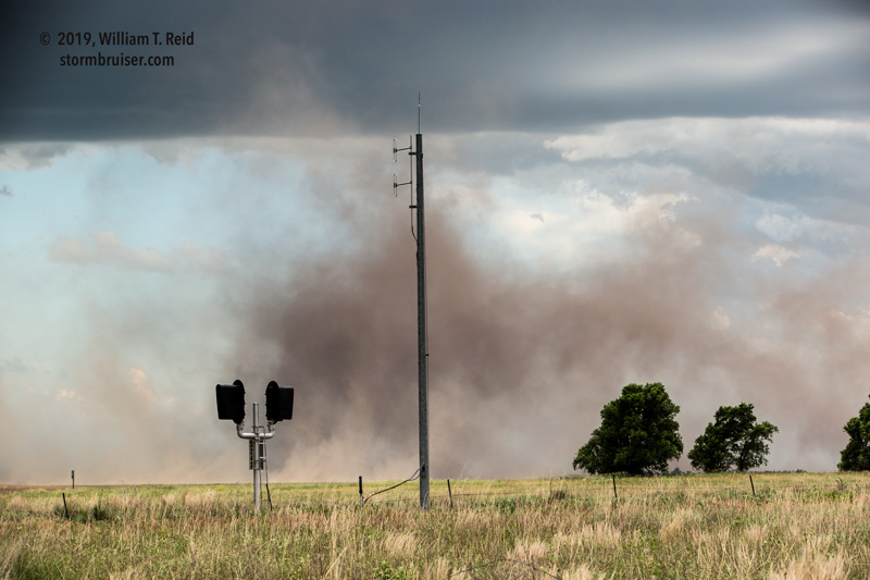
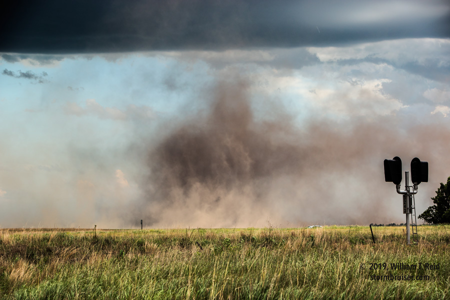
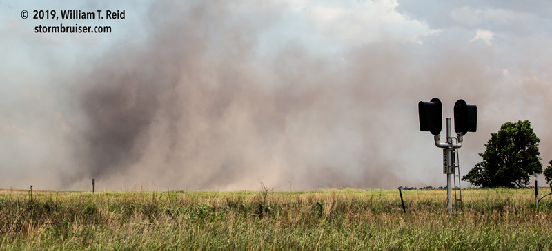
So what was it? I don’t know — it was not windy at all where we were. It was a spin-up of some sort along an RFD gust front, I suppose.
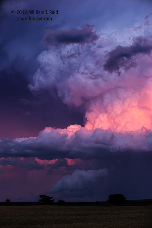
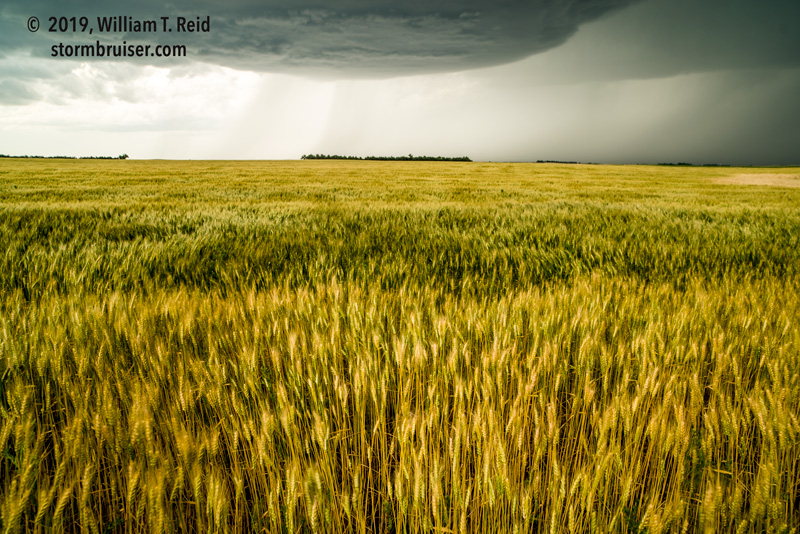
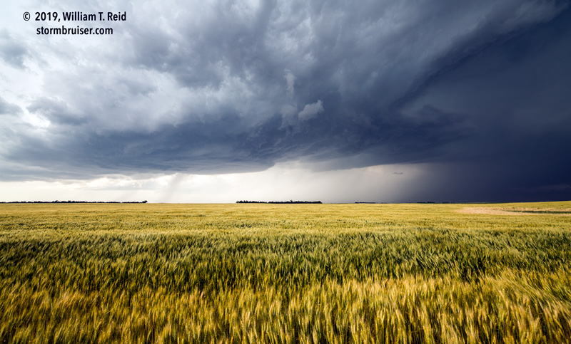
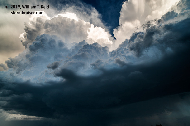
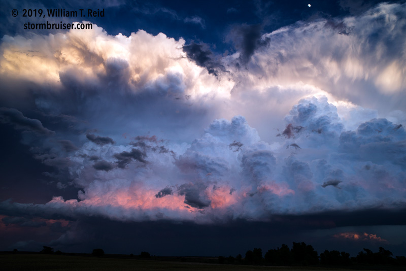
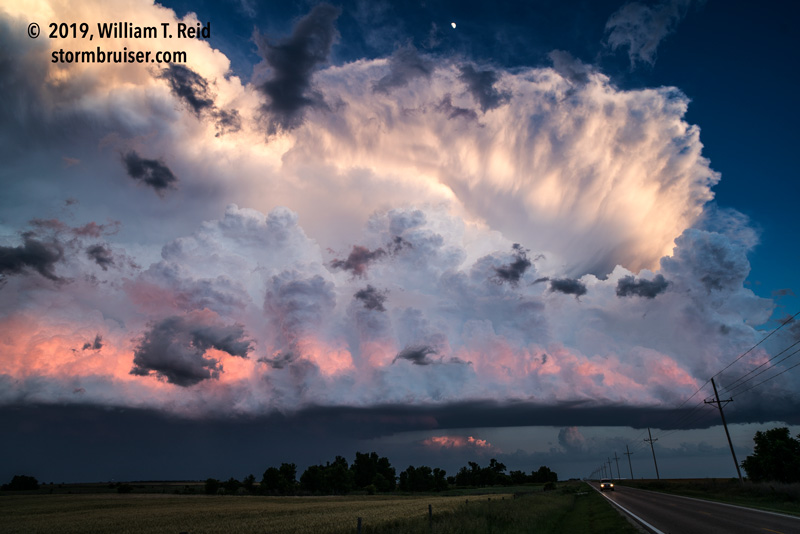
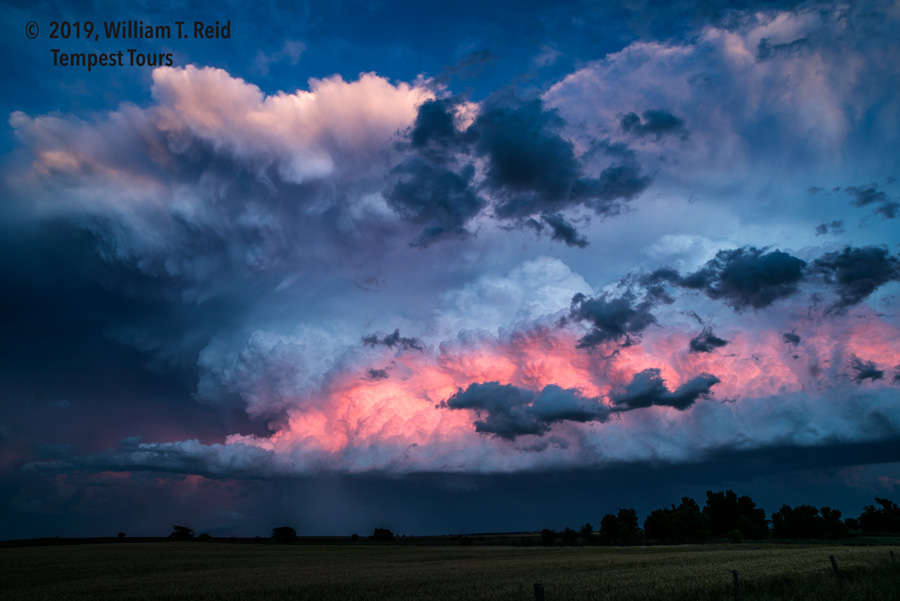
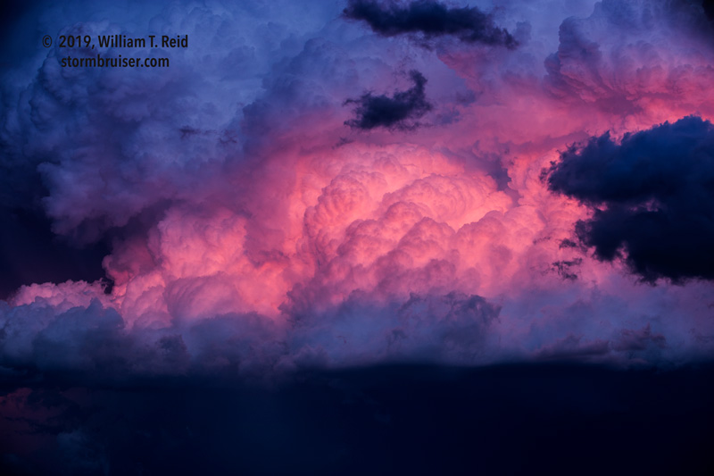
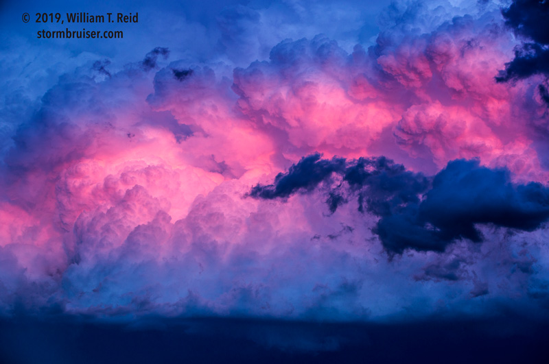
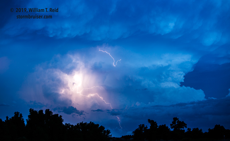
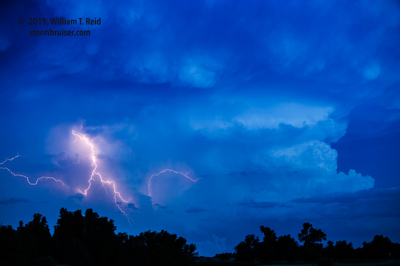
I elected to stay west of the storm as sunset approached. We headed south on 183, and stopped about halfway to Coldwater. Impressive storm towers were developing just to our south and southeast, and the colorful sunset light was very nice! Woodward was our resting place.
text
Leave a Reply
You must be logged in to post a comment.