Start: Hugoton, KS
Lunch: Goodland/Taco Johns et al.
End: Gering, NE
656 miles
SPC Mesoscale Discussion 1139 SPC Mesoscale Discussion 1140
SPC Mesoscale Discussion 1147 SPC Mesoscale Discussion 1148
Chase account by TT guest L. Ryan, including nice time-lapse of the tornadic supercell
We awoke this morning in SW KS between two distant outlooked areas: an enhanced slight risk (with a 10 percent tornado area) centered near DFW, and a slight risk area along the WY/MT border and into far western SD. UGH. I opted for the upslope play towards the northern High Plains. I was not interested in trying to make the northeastern WY play, due to the distance and relatively poor tornado propects (not even a 2 percent outlined by SPC up there). Some CAMs spit out a storm or two in the Nebraska Panhandle by sunset. The WNW shear was good to very good, the instability was so-so, and there wasn’t much confidence that the day would be a very good chase day. The Nebraska Panhandle, extreme eastern WY and southwestern SD all had WNW to NW surface winds through mid-late afternoon, with dew points around 50F. But models showed the winds going upslope from the southeast before sunset, with rising dew points. (The Southern Plains play wound up a dud tornado-wise this day.)
By around 6 p.m. MDT we were looking at some high-based and very junky cells around Bridgeport, NE. These were barely better than virga bombs. There was some local surface convergence in the Panhandle, and the models continued to provide some slim hopes for something before sunset. It was not looking good visually as 7 p.m. came and went, about an hour to an hour-and-a-half prior to sunset. But, the winds were indeed turning around and going upslope as we drifted into Scottsbluff. I considered bagging the chase and checking into a motel here, but decided that I had better not. Too much can happen in two hours out here in late spring, and if you check into a motel early, the chances of something decent within driving range go up exponentially and the tour director feels like poop.
Another look at the radar showed a new storm well to our northwest, somewhere in the emptiness southwest of Wright and northwest of Bill. It was 150 miles distant. It was moving generally to the ESE and SE, and our road network provided a decent intercept route to it. And, the storm would be moving into moistening southeasterly winds! There was just enough daylight to make this doable. We continued to Torrington and Lingle and northwards towards Lusk. The storm became tornado-warned and looked great on the radar. Geez — why couldn’t we be up there NOW! There was one chaser showing up in front of the storm, and the tornado reports seemed to be legitimate. Who would have thought…besides that one chaser, maybe!
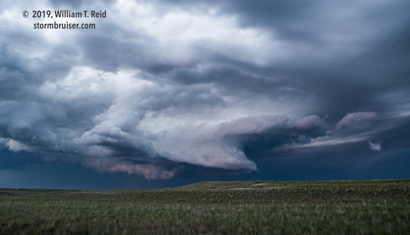
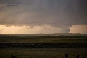
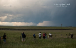
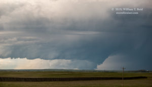
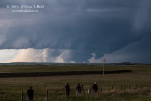
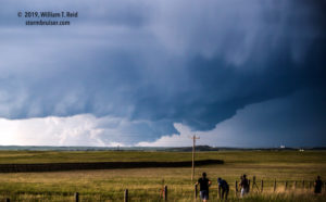
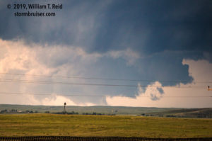
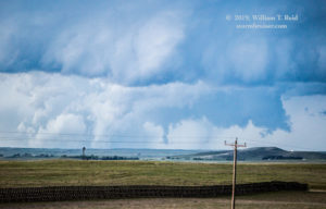
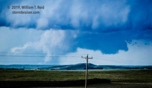
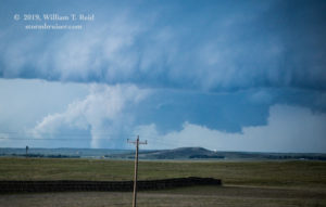
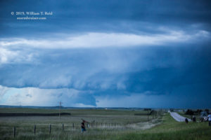
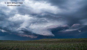
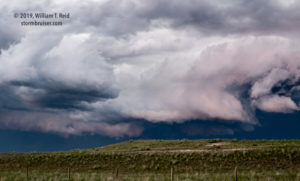
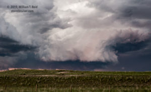
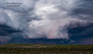
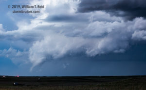
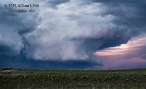
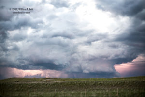
As we approached Lusk, we finally had a look at the structure of the storm to our NNW, maybe 20 miles away. There was also a big chunky wall cloud beneath the base. It was so low, that the distant hills blocked the bottom part of the wall cloud. With sunset about 5 -10 minutes away, I elected to stop on a decent hilltop a few miles south of Lusk. We had been driving and driving all day, and I wanted to give the guests a chance to get out and get some decent images of the storm. Not more than 10-15 minutes later, the storm was issuing some suspicious shapes, with at least one looking like a bonafide tornado for a few minutes.
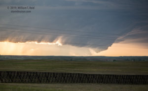
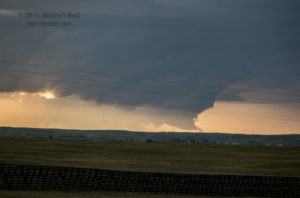
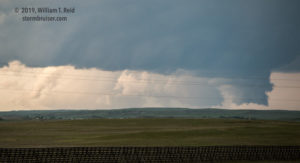
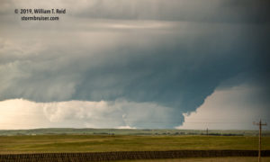
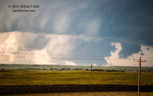
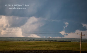
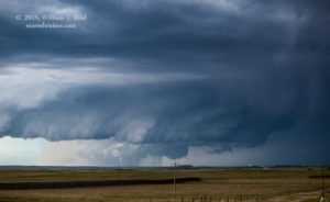
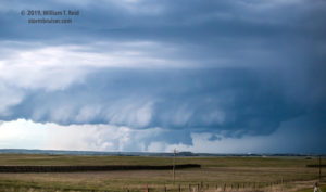
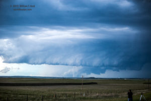
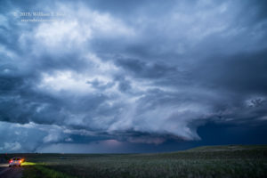
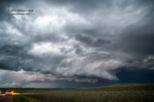
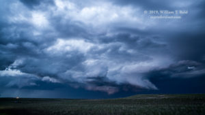
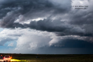
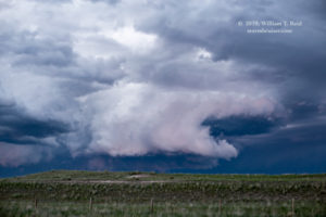
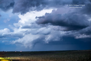
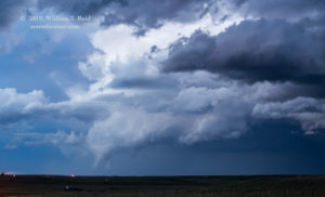
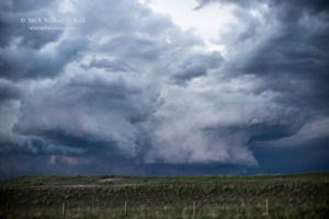
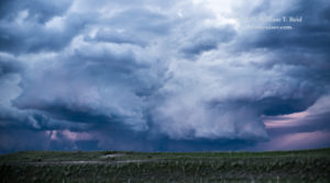
There was still a little daylight left when I decided to get closer, as the storm was about to cross 85 north of Lusk. We stopped a couple of miles north of Lusk for a good look at the base and occasional tornado-like appendages. It was difficult to determine for certain whether the storm was tornadic, but there was enough lightning to get some looks and photographs of the action areas.
The shots above were taken from south of Lusk. Below are the shots from north of Lusk.

Leave a Reply
You must be logged in to post a comment.