
Start: Gering, NE
Lunch: Dix, NE/Ole Country Cafe
End: Sidney, NE
344 miles
Chase account by TT guest L. Ryan
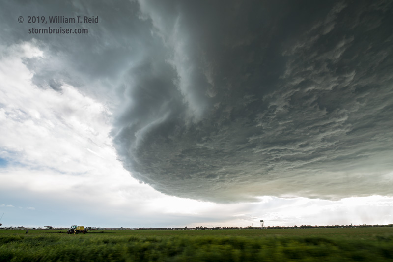
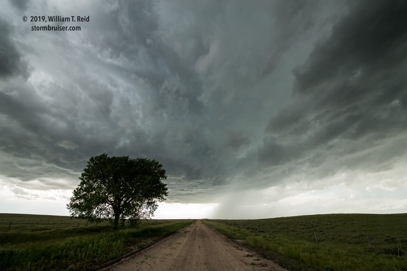
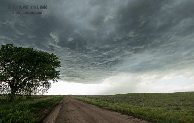
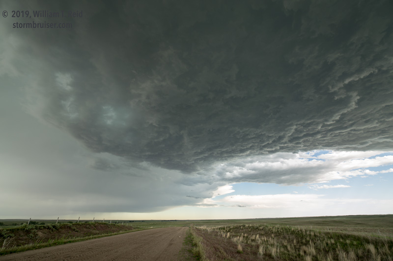
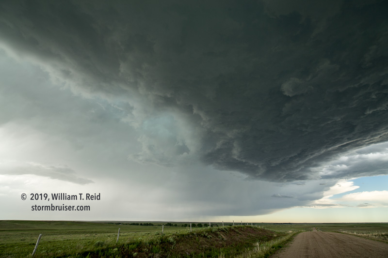
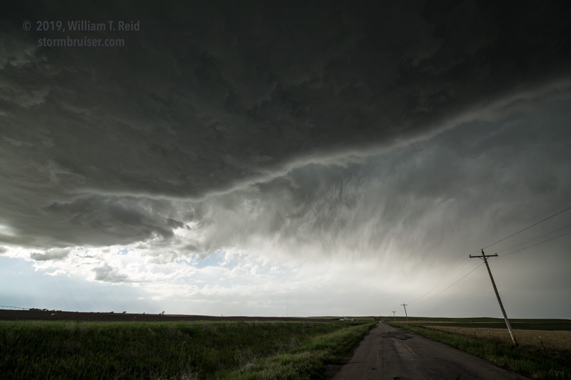
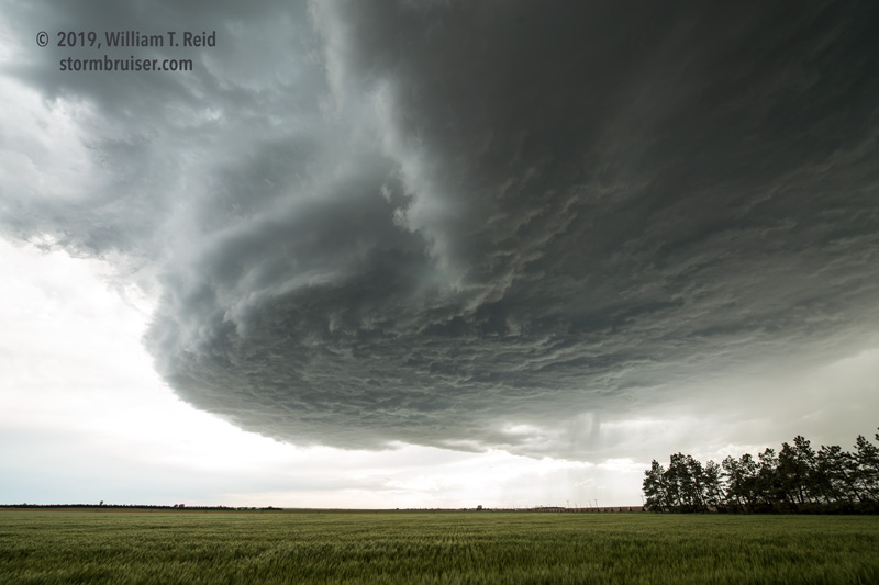
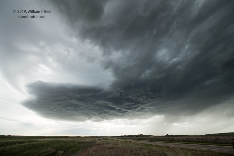
Today was another day with a bit of potential, with reasonably good shear and instability. However, dew points were lackluster. That didn’t seem to matter much on the previous evening in Wyoming, however. We drove south to Dix for lunch, but meteorological indicators lured me back north and west a little bit to the WY/NE border near Henry. A storm developed somewhat slowly near Mitchell and moved E to ENE-ward. The base was high, but nice and dark and ragged, and soon an RFD cut was evident. We stayed close to the base as the storm moved away from the paved road network north and northeast of Minatare to Alliance. Though the storm looked quite healthy and organized, it never managed a decent lowering. Perhaps this would have been a good storm to be east of by five or more miles for structure, but we were tagging along under the base, close to a hail swath.
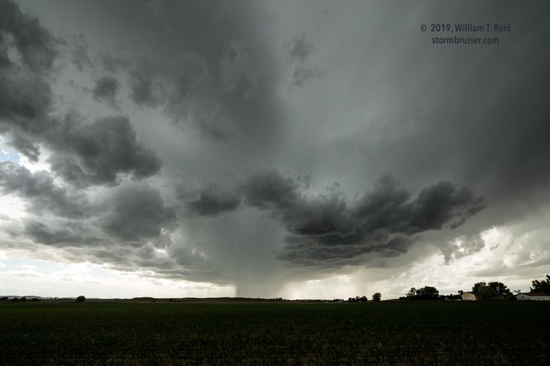
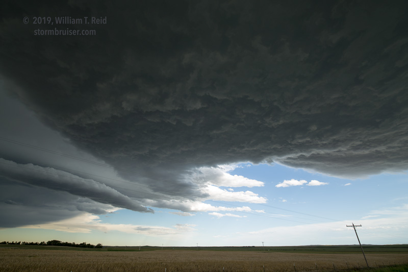
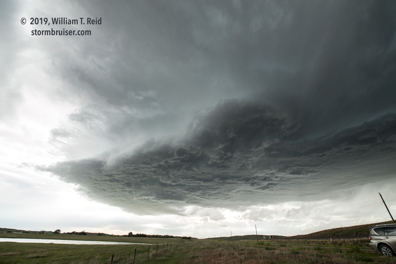
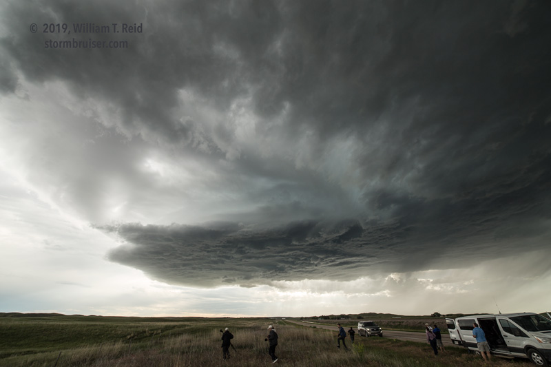
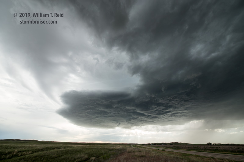
As we approached Alliance, I decided to try to get east enough for a look at structure. We found a high point on the western edge of the Sandhills, and looked to the west. The storm had a good look, but it was starting to diminish in intensity already. Oh, well.
That was about it for this chase day, and we headed south to Sidney for the night. The next day was a drive-back-to-the-Denver base motel day.
Leave a Reply
You must be logged in to post a comment.