
Start: First Day for Tour 7 out of Denver
Lunch: La Mission Villanueva/Lamar, CO
End: Ulysses, KS
534 miles
Fun Facts: Ulysses is in Grant County, and Ulysses is in Grant’s tomb.
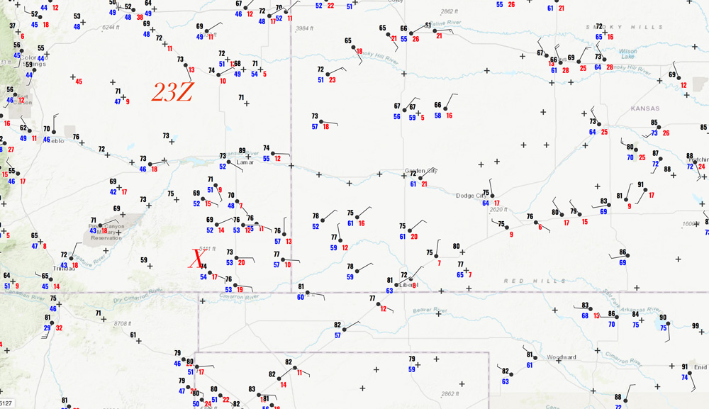
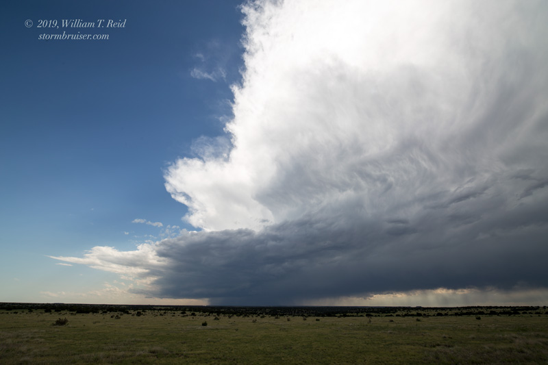
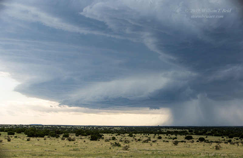
23Z surface map above. X marks the area with a couple of supercells near sunset, one with a likely tornado north of Pritchett.
Chase account by TT guest L. Ryan
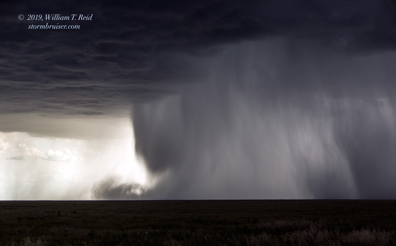
The first day of Tour 7 was fun, as we observed a handful of rotating storms and even a tornado, probably!
It was unusually chilly this morning in Denver, and we had to get south! The enhanced risk and 5% tornado area was a little too far to the southeast to reach, but the severe risk looked quite nice in extreme southeastern Colorado. The 23Z map shows great easterlies and dews in the 50s in and around Baca County, so low-level turning-with-height was excellent towards sunset.
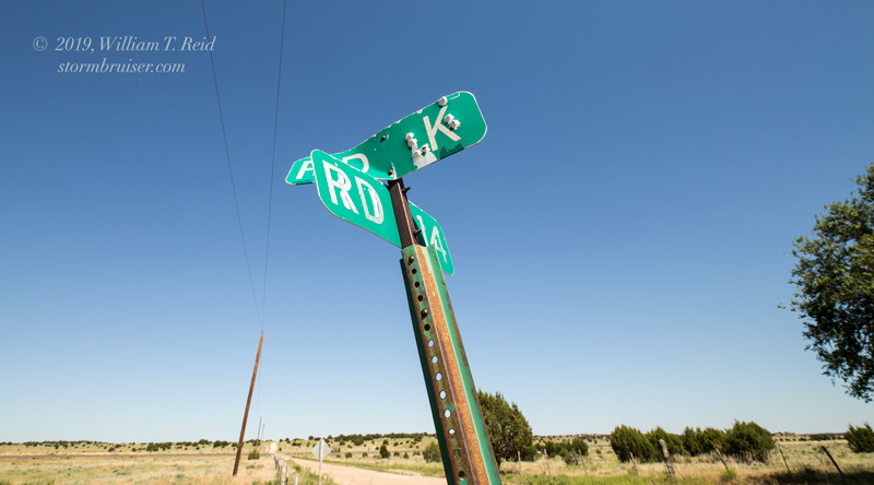
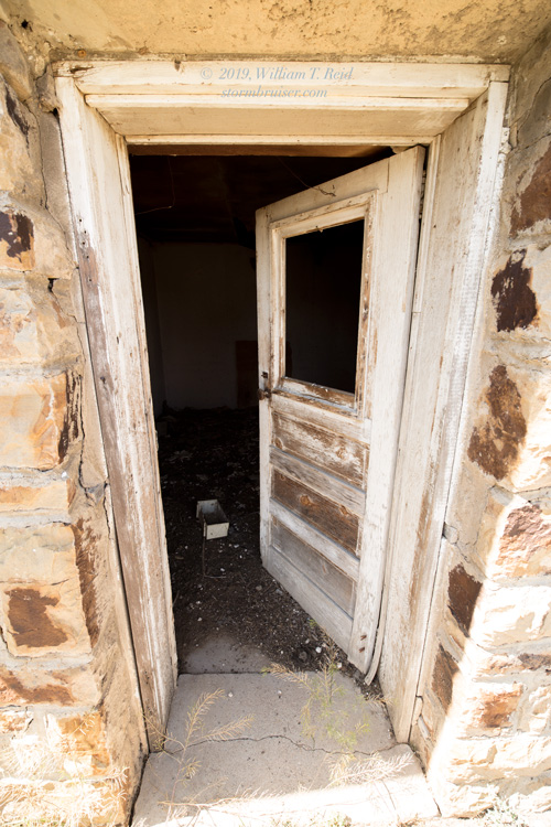
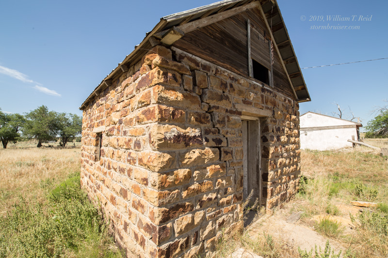
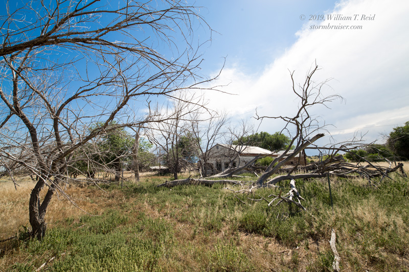
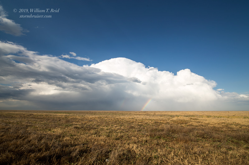
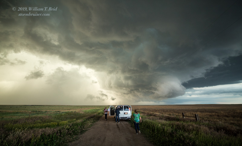
After lunch in Lamar, we drifted to the west to Las Aniams, and then south on 101 to Toonerville (see pics above). A storm developed well to the WSW of Toonerville, and we set up a little south of the ghost town and watched it approach. The storm was high-based and became a little outflow-ish. It dragged us eastward to Two Buttes, and slowly weakened.
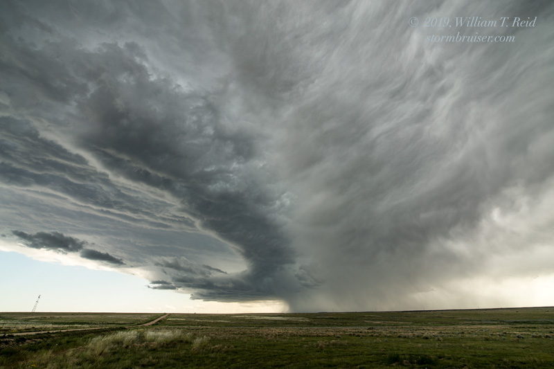
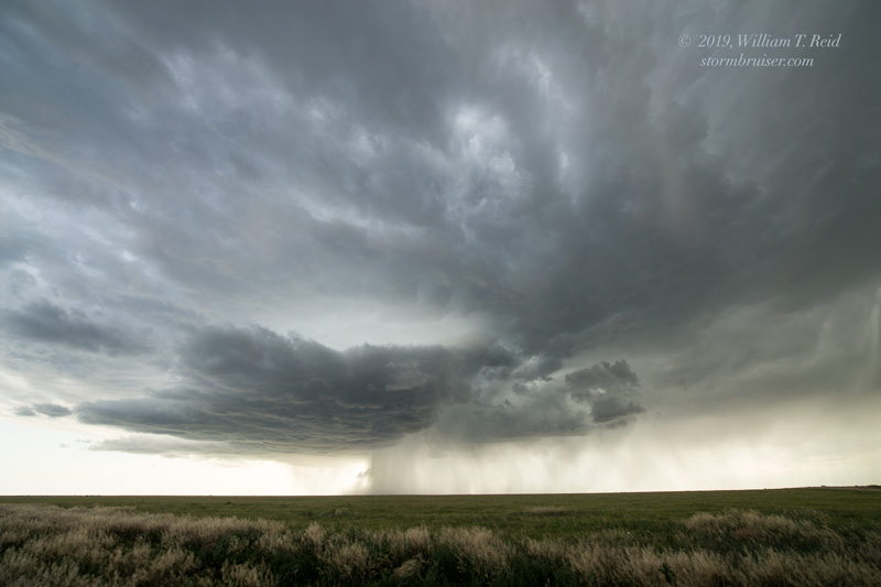
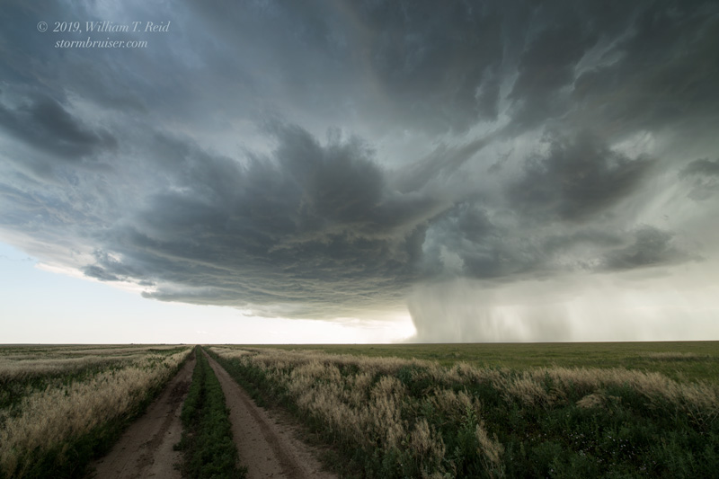
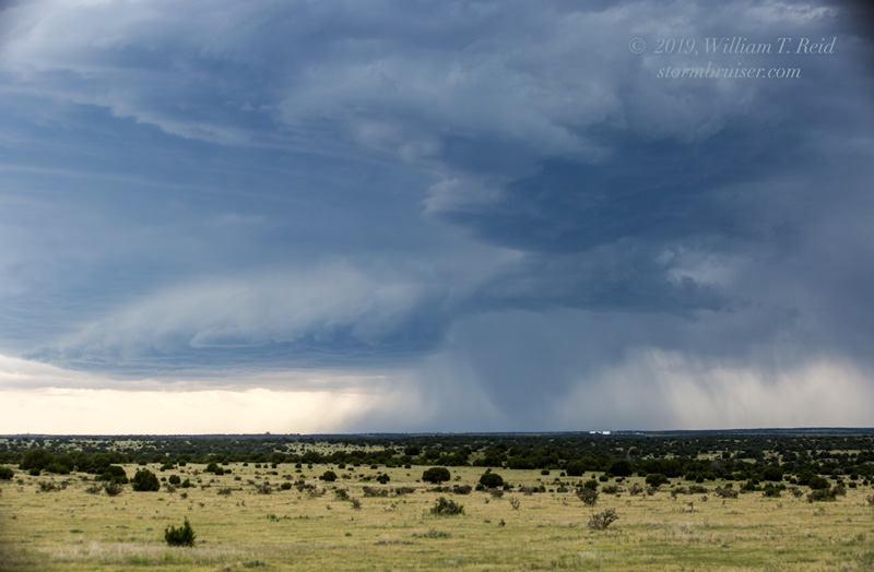
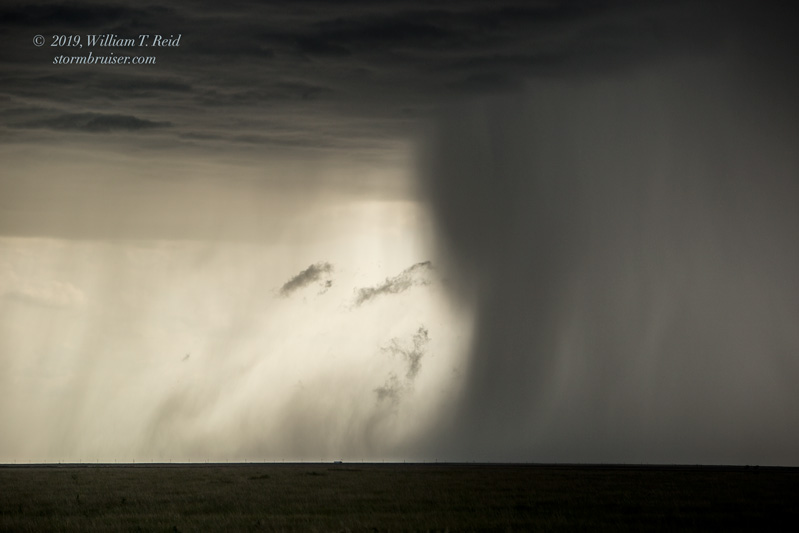
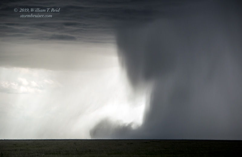
We headed back into Springfield for a pit stop, and then quickly headed west again for Round Two. Some strong-to-severe storms with lower bases drew us to the area between Kim and Pritchett. One cell, a few miles south of 160, looked close to becoming tornadic briefly, and we tried to get east of it on an unpaved road. But, it went linear quickly as another storm interfered with it.
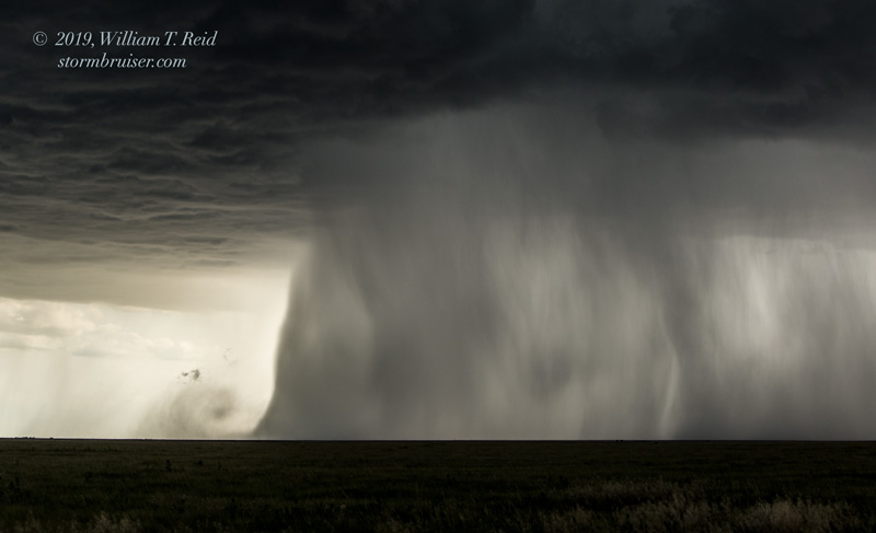
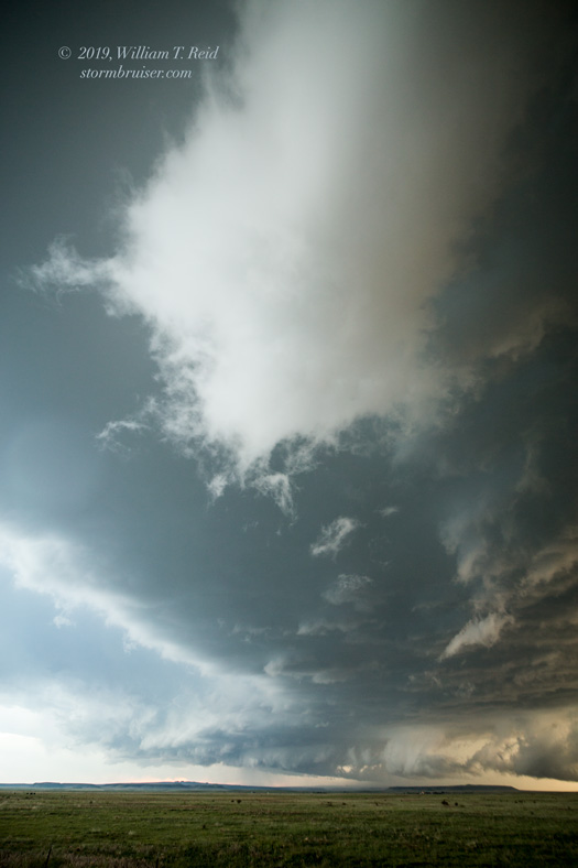
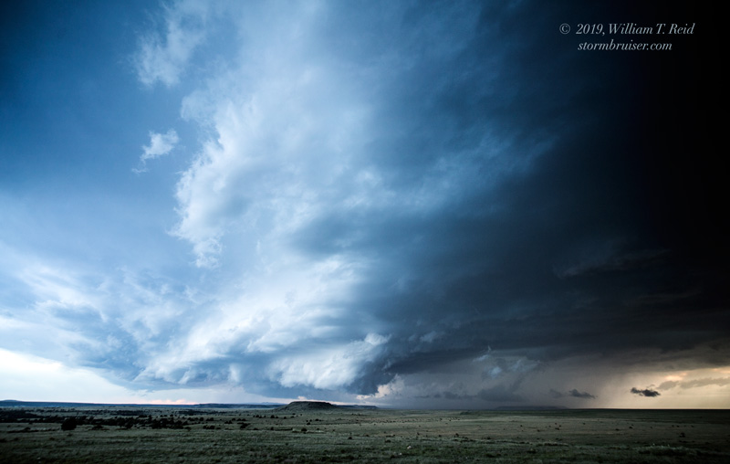
I decided to try to catch up to other severe storms that were closer to Pritchett. We flirted with heavy cores and saw a tornado in a couple of lightning flashes that was probably some 10 miles NNW of Pritchett. When we stopped to try to get some pictures, the tornado had disappeared. The next two hours were spent on 160 with a couple of impressive supercells chasing us through Baca County and into southwestern Kansas.
Leave a Reply
You must be logged in to post a comment.