
Start: Sharon Springs
Lunch: Ogallala Runza
End: Alliance, NE
About 360 miles
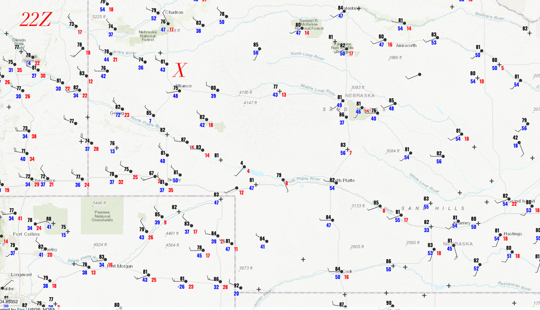
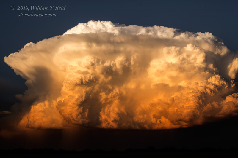
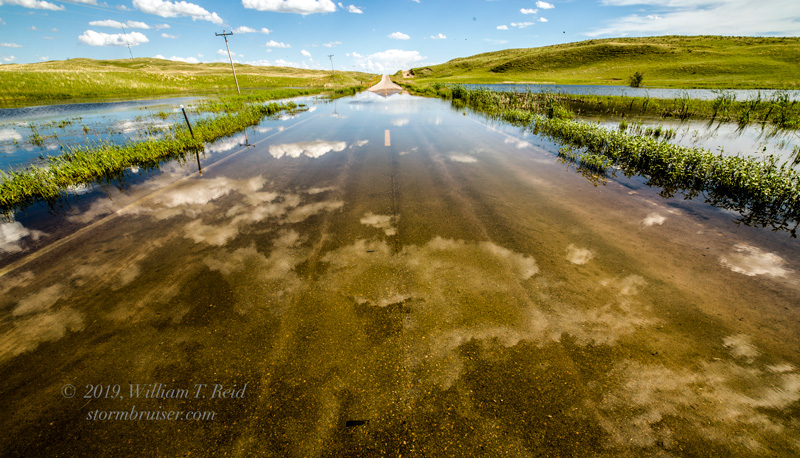
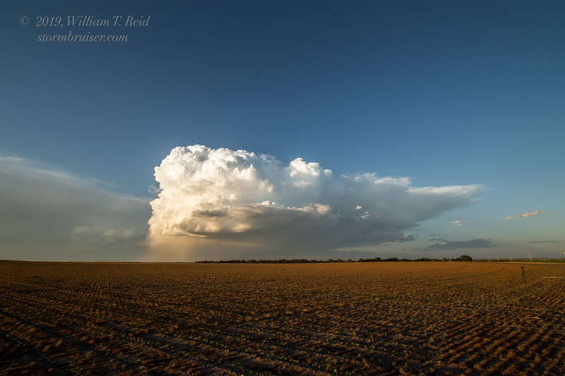
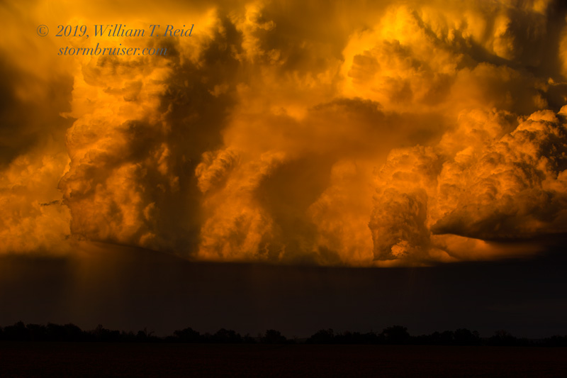
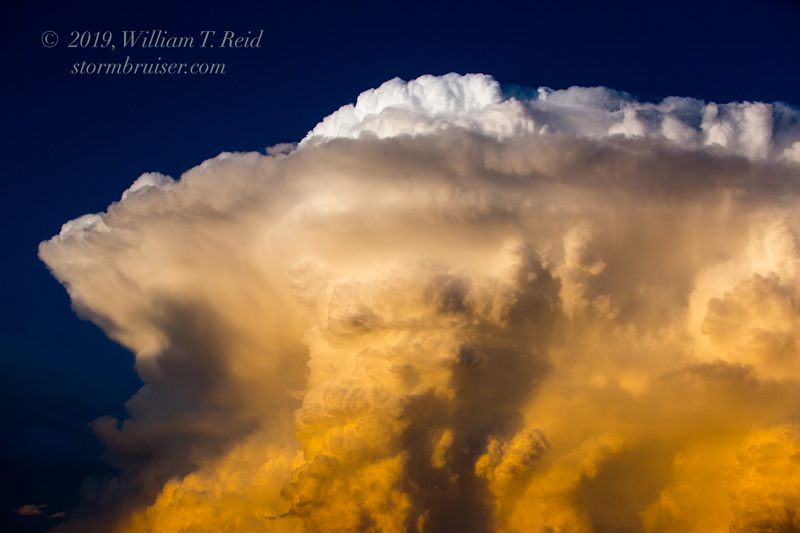
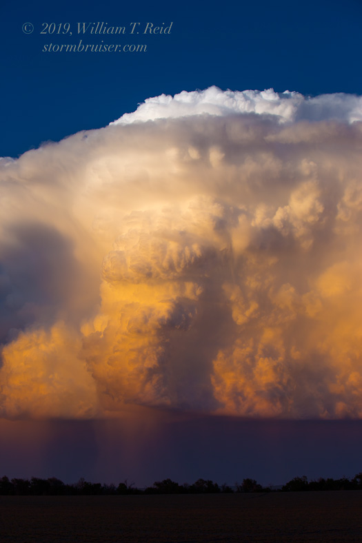
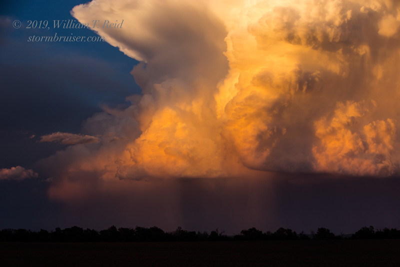
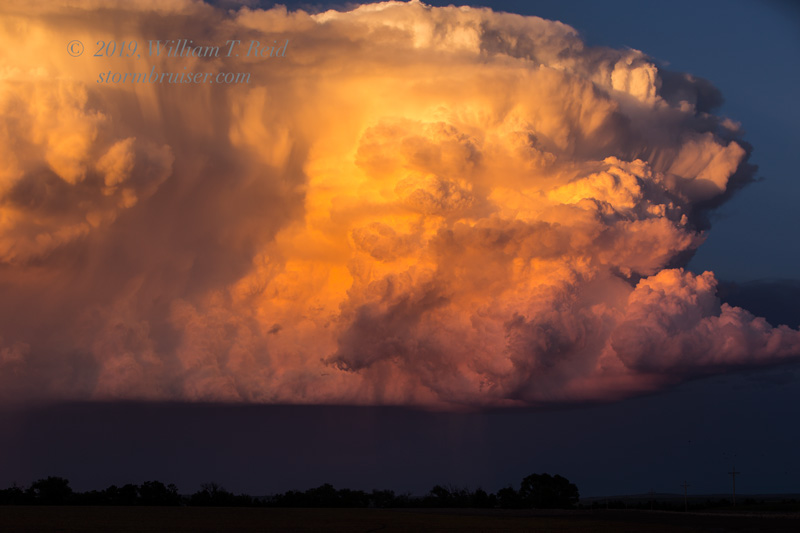
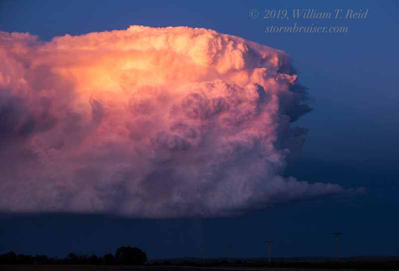
22Z surface map above. The X marks the storm location near Alliance towards sunset.
Chase account by TT guest L. Ryan
The risk area today was WAY down south, in central Texas. We were in northwestern Kansas. Since the following couple of days appeared to be good severe weather days up around Montana and northeastern WY, I elected to head in that direction. The models showed an isolated storm or two in western Nebraska today, so I led the tour group northward. Expectations were rather low as SPC showed only general thunder, but moisture and shear appeared adequate for a decent, organized and long-lived cell.
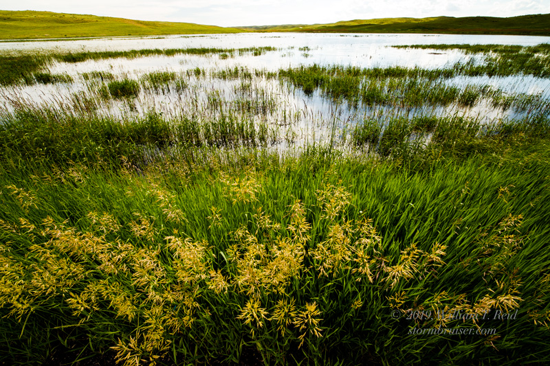
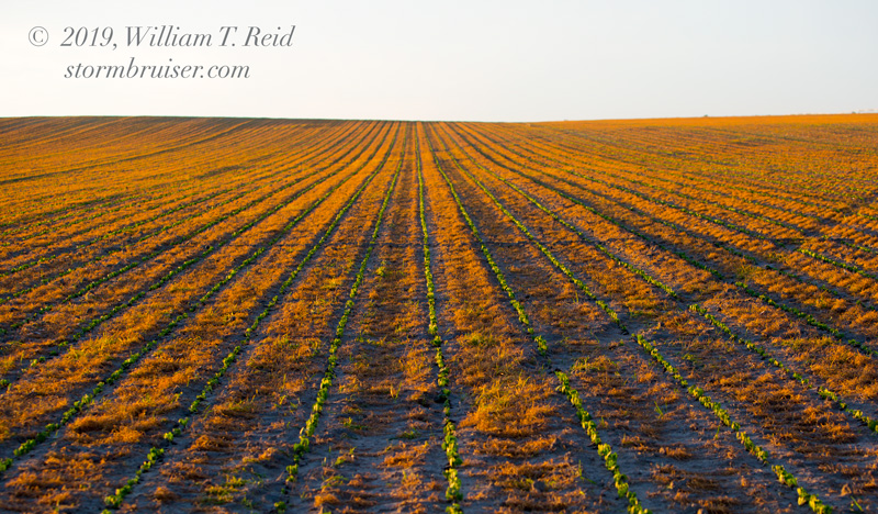
After lunch, we continued northward into the Sandhills. Not much was happening yet, so we spent some time around a freshwater lake in the Sandhills north of Hyannis.


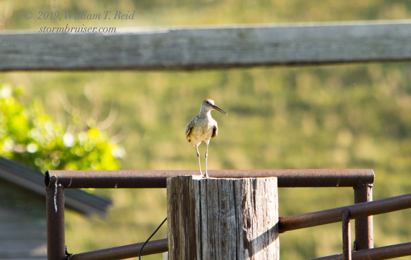
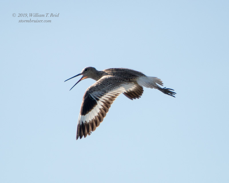


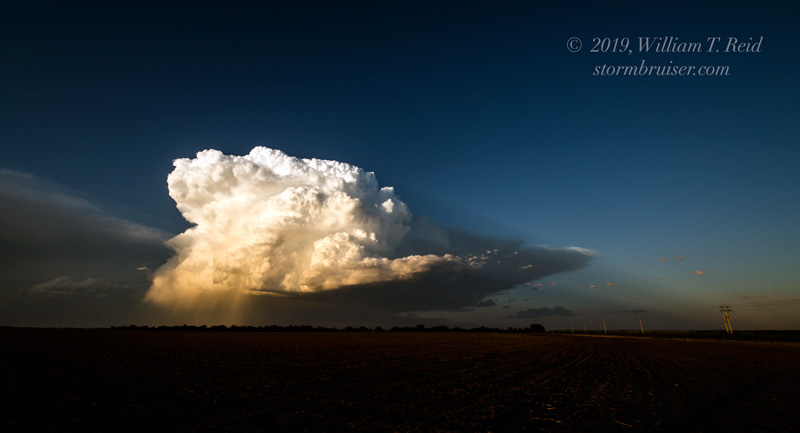
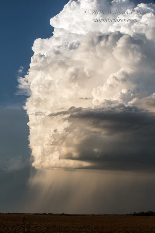
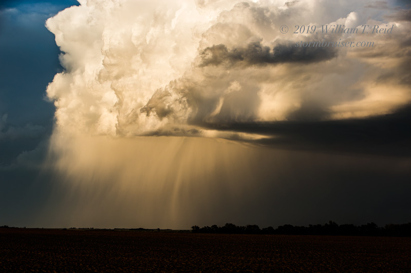
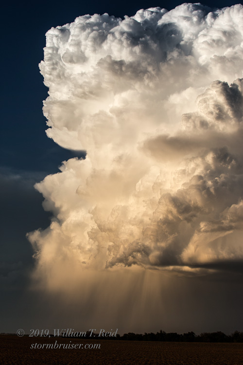
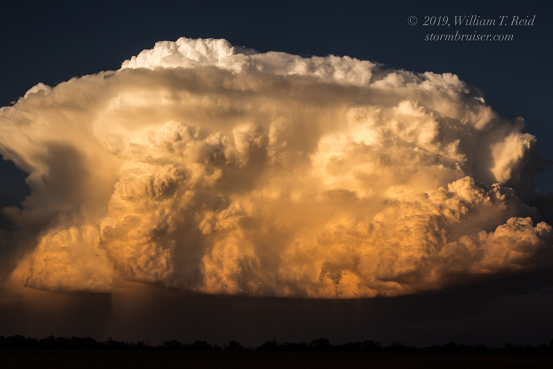
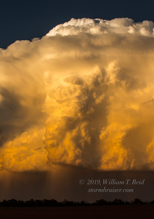
I was thinking that a cell might develop not too far from Hyannis, but the attempts near here failed. Something finally went up way out in the Panhandle, so we booked it west from Hyannis to Alliance. Fortunately our target cell was moving to the ESE, towards Highway 2 in the Sandhills. We approached it from the south, on the north side of Alliance, and watched it move to our ENE at sunset. It seemed to weaken right when we got close, but then it perked up a little later.

Leave a Reply
You must be logged in to post a comment.