
Begin: Wheatland, WY
Brunch: Wheatland/Western Sky’s Family Diner
End: Base hotel in Denver
428 miles
Coming off of a really nice tornado day yesterday, it looked like we would be chasing another supercell in the upslope regime of southeastern Wyoming again later today. The tornado prospects were not nearly as good, though, as surface dew points were several degrees lower compared to the 4th. It looked like Chugwater would be a good starting point again.
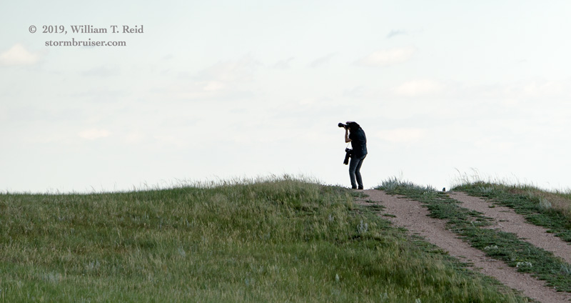
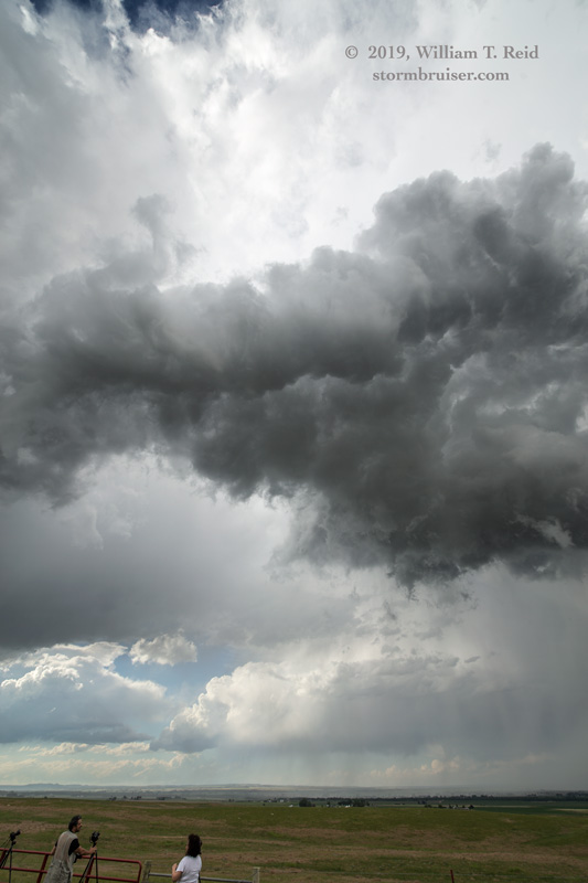
We watched some unorganized high-based junk approach our hilltop location between Cheyenne and Chugwater, just west of I-25, during the mid-afternoon. We stayed with it to Albin and a few miles into Nebraska, and the base started to spin some, with an RFD cut.

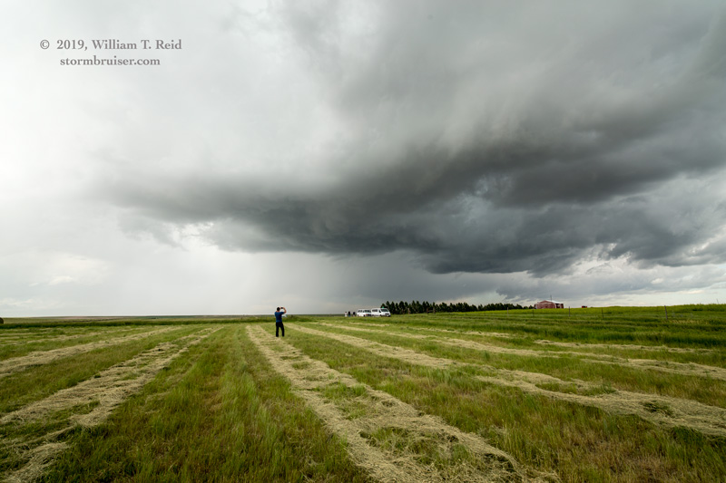
This storm fizzled out quickly as it fed on Nebraska air. I looked at the Cheyenne radar and saw that another storm had quickly gone up near Guernsey, to our northwest. We headed west to 85 and north towards Torrington to get close.

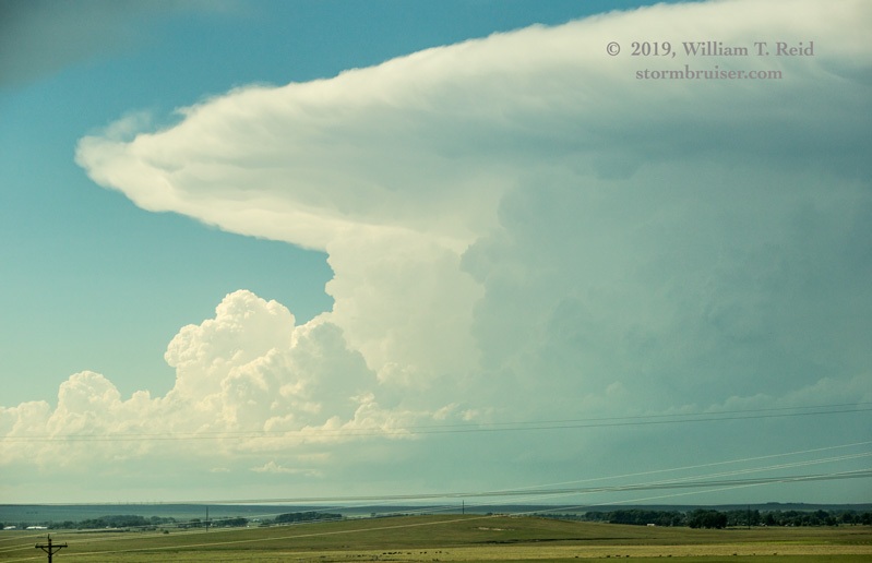

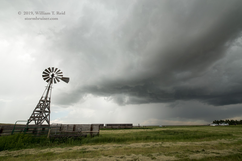
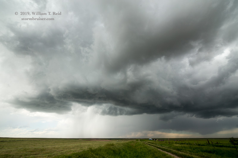
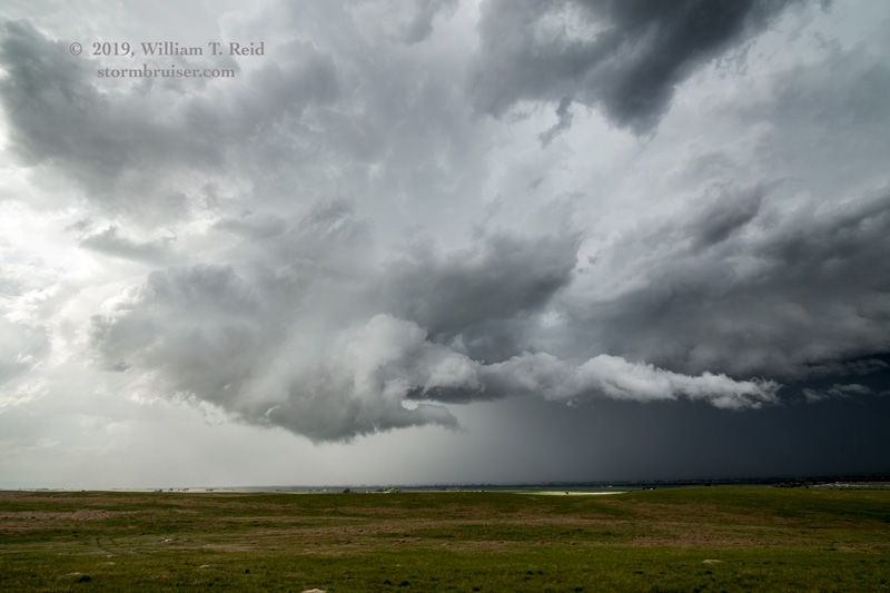
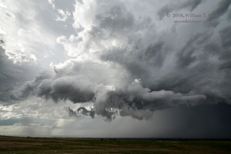
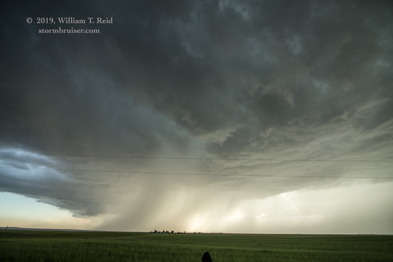
The supercell looked quite nice visually and on the radar depiction. We got southeast of the updraft base via Yoder, and set up a few miles southeast of Lingle. The storm base had a good shape and it went through the motions of wrapping RFD and whatnot, but the base was not that low and the wall cloud was not that good. The storm seemed to stall out over Torrington, just to our northeast, and it transitioned to a level of extreme mediocrity.
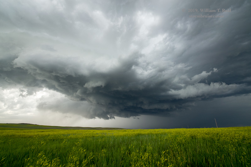
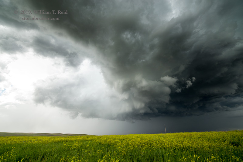

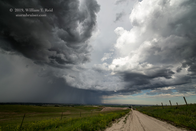
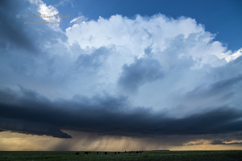
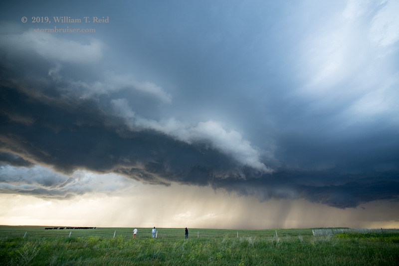
With about an hour until sunset, at Torrington, we were without a storm to chase. There was a relatively unspoiled airmass to our southwest, with a cumulus field just west of I-25. I elected to head towards Cheyenne, and soon a new storm had developed near Chugwater. That was an easy catch! It looked okay briefly and had a bunch of nice CGs for us, maybe 15 miles east of Chugwater. The storm became more linear as it sagged slowly to the southeast, though. We got in front of it near Meriden.
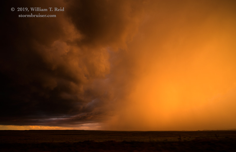
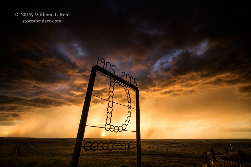
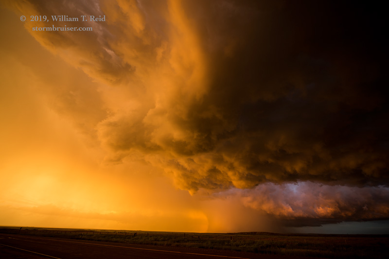
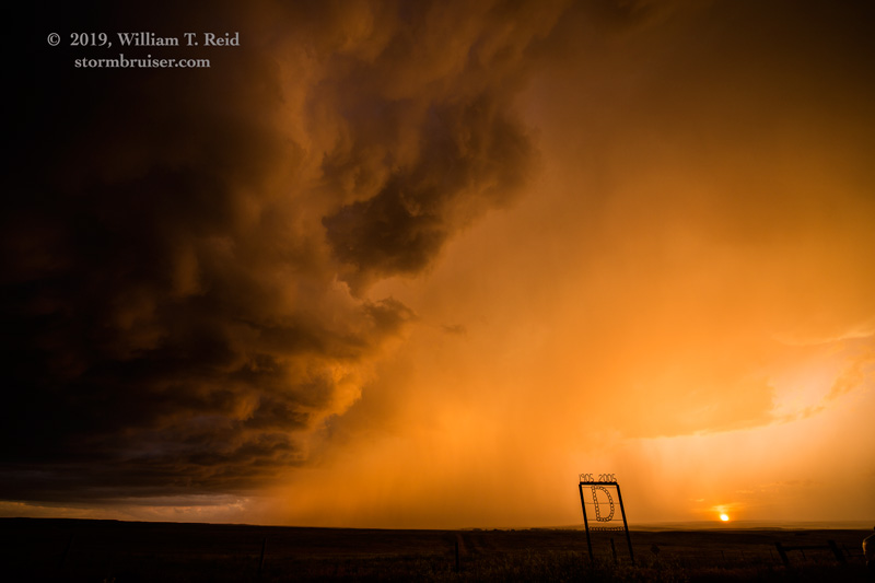
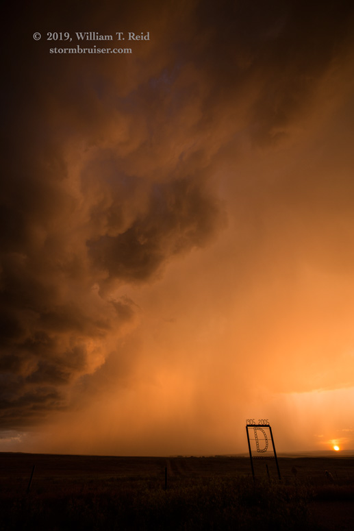
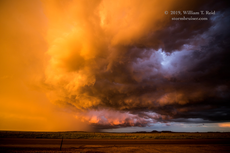
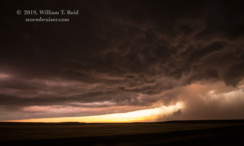
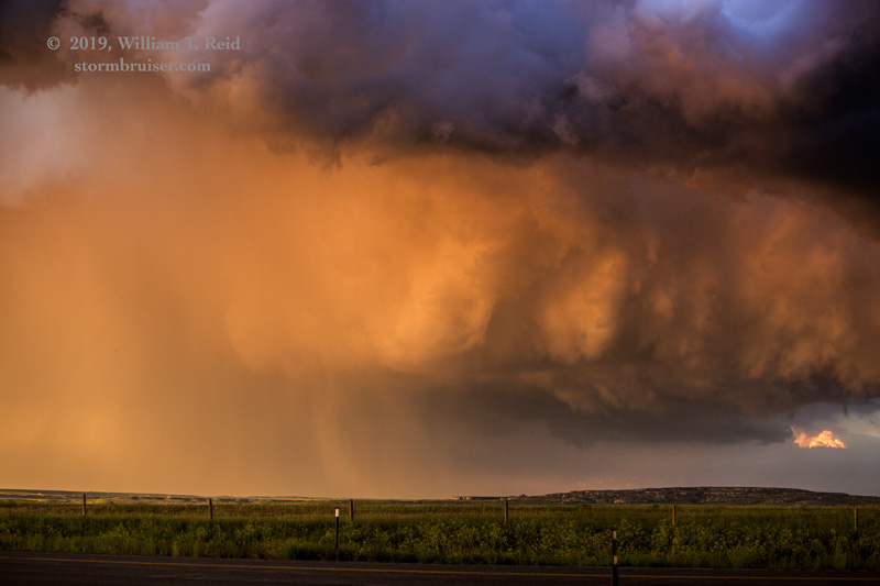
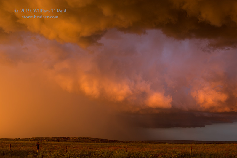
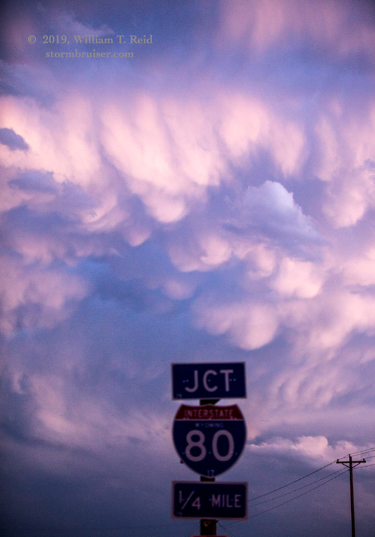
From here we were in “stormy sunset” photography mode, and the colors and lighting were extraordinary! The images below were from the area around Highway 85 and CR 213, north of Burns.
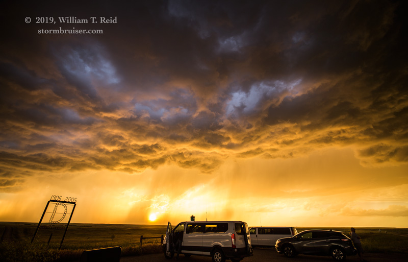


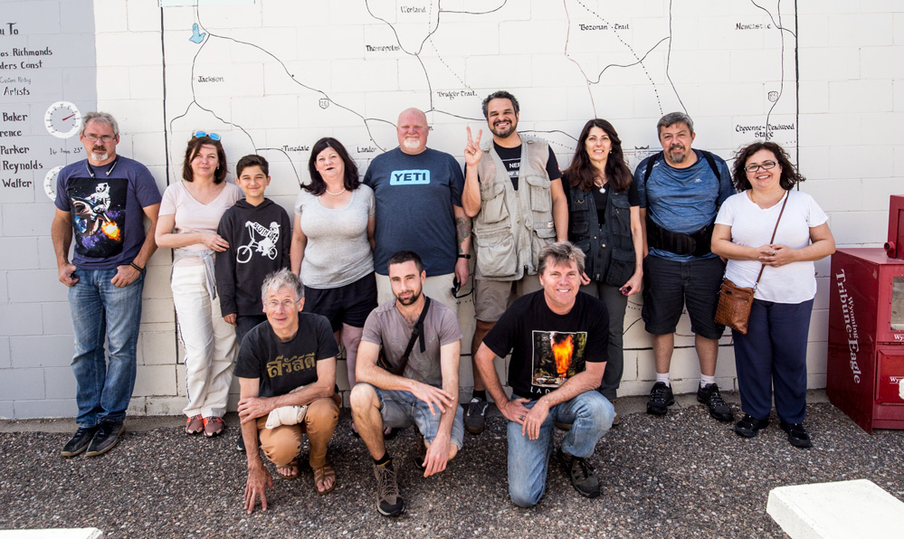
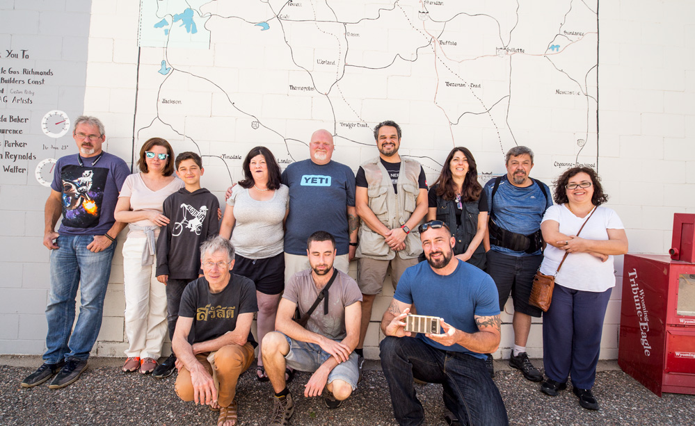
This was the final chase day for Tour 8, so from here we continued south to the base hotel near the Denver Airport.
Leave a Reply
You must be logged in to post a comment.