I was well aware of the decent storm prospects today when I awoke at home. A strong upper-level system for late September was dropping south into central California, and would be working on some moisture in western Arizona that was due in part to defunct tropical storm Lorena. The shear associated with the upper-level trough might even promote supercells! When I saw that SPC had upgraded to “enhanced slight risk” from about Blythe to Phoenix by mid-morning, I decided that I needed to get myself out there.
It would take four hours just to get to Blythe and the Colorado River. I was really hoping NOT to be dragged eastward well into Arizona, as I was planning on driving back home right after the chase. Early storms, some strong, developed around Quartzite and Bouse and moved to the east. I was still 2-3 hours away! I could see the distant activity once I was out by Palm Springs. A lot of Arizona chasers were already chasing these storms. I would have to hope for new development alter in the afternoon, as I was not going to Phoenix for this midday stuff.
I made it to Quartzite on I-10 (just east of Blythe and the Colorado River) around 2:30 p.m. A mediocre updraft was not too far to the east. Skies were mostly sunny where I was, with a few flat cumulus, near the western edge of the decent low-level moisture (with dew points in the low 60s). The surface weather map showed a west wind at Blythe — yuck — but here on the north side of Quartzite there was a breeze from the east. A healthy east wind was showing up at Needles. The morning storms in western AZ had sent out this surge of easterlies, apparently. A very robust updraft was visible well to my north, and the latest Radarscope picture on my iPhone showed a good cell in the Laughlin/Kingman area. Since the activity a little east of me on I-10 was looking lame, I elected to start north from Quartzite. I really liked the easterly wind at Needles, and there was plenty of sunshine up that way. I would be heading away from the enhanced-slight area, though, and into the run-of-the-mill “slight.” One other thing, the SPC meso page showed better supercell and severe parameter values in a band east-west up closer to I-40 compared to I-10. It seemed like a no-brainer to head north.
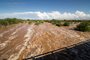
I had never been on this road before: State Route 95 from Quartzite to Parker. There was very little traffic, and it was not Interstate 10, so I was happy! At Bouse Wash, southeast of Parker near the junction with Route 72, I noticed a good bit of flow! I turned around and parked next to the flash flood —- this looked rather impressive! The nearby bridge was a good place to get some images. The flash flood was due to storms some 2 to 4 hours earlier upstream to the east, around Bouse. Ironically, a tone for a flash flood came on my iPhone moments after I turned around to check this out. I think that the warning was for the storm up north, though.
I looked at a map and tried to figure out where this water in Bouse Wash was headed. It would be fun to see what it looked like downstream, closer to the Colorado River. Well, after maybe 30 minutes of driving around south and southeast of Parker, I gave up on looking for Bouse Wash. I don’t know how I missed it, but my maps and iPhone graphics obviously weren’t good enough. The area was a farmland with a bunch of canals.
New strong updrafts were now visible to the NNW — yay! It looked like these were a little west of the river, and I had to decide if I wanted to approach them on the California side or the Arizona side. The cells would be moving to the east, most likely. At Parker, I crossed into California. I was more familiar with the roads and terrain on that side of the river, and I thought perhaps that storms could back-build. I didn’t want to be in Arizona if that were to occur. The next river crossing north of me was way up at Needles.
As I headed north on U.S. 95 out of Vidal Junction, a severe-warned storm was in progress just east of the river, near Topock and Mohave Valley, and moving slowly east. I had not chosen the correct approach. The radar showed an awesome supercell shape.
I borrowed the image above from Mike Umsheid’s Facebook page. The time is 4:37 p.m. PDT. I will return the image to Mike if he wants it back.
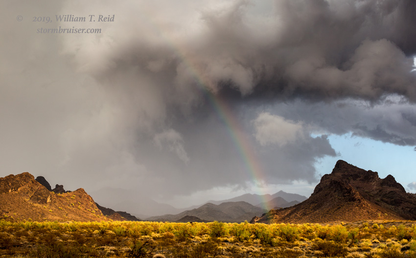
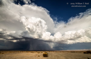
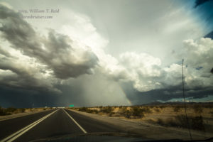
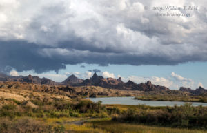
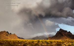
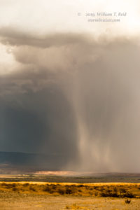
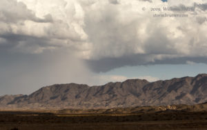
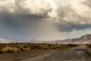
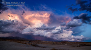
I could see a bit of this storm, but another strong one was going up now to its south. It was near the river and just northwest of Lake Havasu City. The first few images below show this southern one. I continued towards Needles and eventually stopped to shoot the big storm to my northeast. It was a little less organized than prior, but the warning statement out of Las Vegas mentioned one-inch hail and maybe a brief tornado. The storm had a rather high base and nice hail curtains.
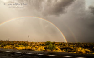
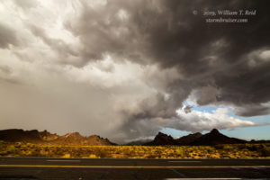
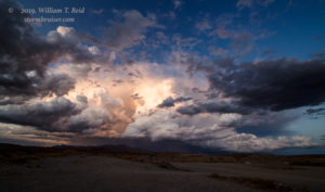
I stopped near I-40 southeast of Needles and again near “The Needles” on the east side of the river for additional shots. The main show now was the severe-warned storm just to my southeast. Below are a bunch of shots from about this timeframe. I got into some small hail halfway to Lake Havasu City (LHC) as I skirted around the west side of the storm. As I neared LHC, the updraft base showed some rotation.
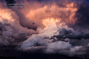
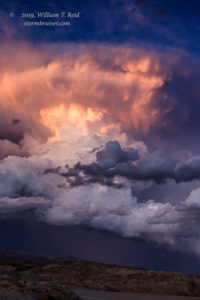
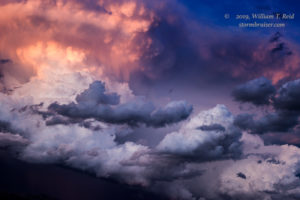
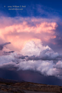
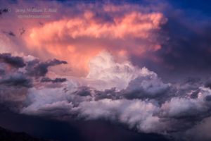
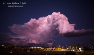
I stopped at sunset on the east side of LHC, and the top of the updraft was lit up nicely.
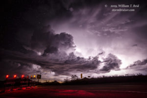
It was time to head home as the storm drifted off into no-road land. New storms developed WSW of Needles, so there was one more stop for lightning. This was west of Needles where U.S. 66 crosses. I got home around 12:30 a.m. and had put 795 new miles onto the Xterra.















Leave a Reply
You must be logged in to post a comment.