Stormbruiser.com

William T. Reid

  • About
  • Video Links
  • Climate
  • Categories
    • Astronomy
    • Aurora/Northern Lights
    • Artsy
    • Airports (LAX and VNY)
    • Animal Day
    • Beach
    • BEST and MOST POPULAR
    • Chase Season Summary
    • Chasers and friends
    • Cumulonimbus
    • Death Valley
    • Desert
    • Desert/Mountains
    • Elevated photography
    • Eyesores
    • Fire
    • Flooding
    • Hurricane
    • Landscapes
    • Lightning
    • Local: Conejo Valley/San Fernando Valley
    • Mid and High Clouds
    • Nighttime photography
    • Old Stuff
    • Rainbows/Optical Phenomena
    • San Nicolas Island
    • Storm Video Sales
    • Stormy Skies
    • Stupid Bugs
    • Sunsets and Storms
    • Supercells
    • The City
    • Tornadoes
    • Unusual Clouds
    • Vegetation
    • Wind and Dust
    • Winter Weather
  • Contact
You are here: Home / 2020 / May 3, 2020 Marginally Severe Storms in Western Nebraska

May 3, 2020 Marginally Severe Storms in Western Nebraska

May 3, 2020 By William Reid Leave a Comment


Start:  Limon, CO

Lunch:  Sterling/Jimmy Johns and Arbys

End:  Wakeeney, KS

536 miles


SPC Day One/20Z

SPC Mesoscale Discussion 521   SPC Mesoscale Discussion 525

Storm Reports


With adequate westerly flow aloft above upslope flow over northeastern Colorado and vicinity, and with dew points into the lower 50s, we had ourselves a chase day with decent supercell potential.  The relatively large temperature/dew point spreads would mean a pretty low tornado chance, however.  We headed north and east a little into the southeastern Nebraska Panhandle, where surface winds appeared to be converging.


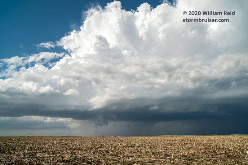
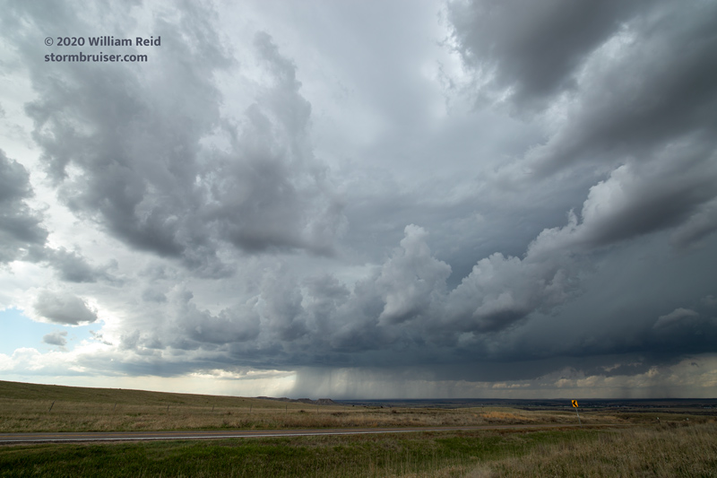
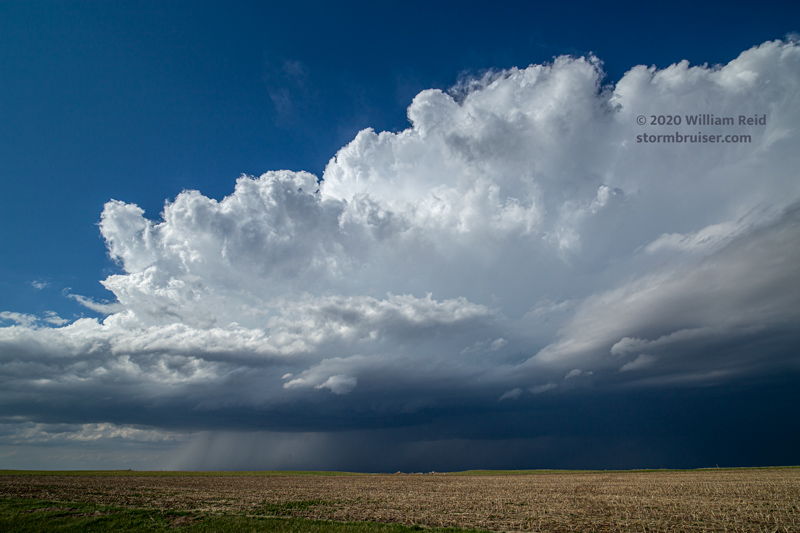
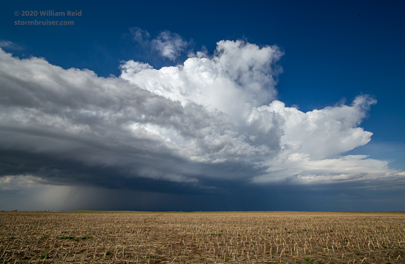
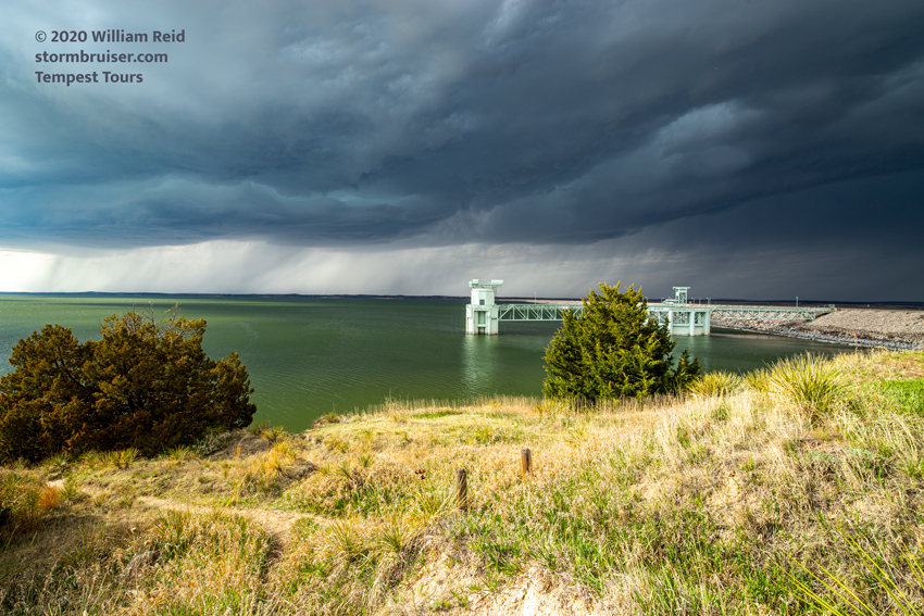
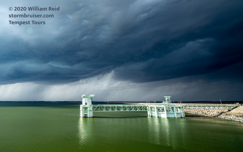
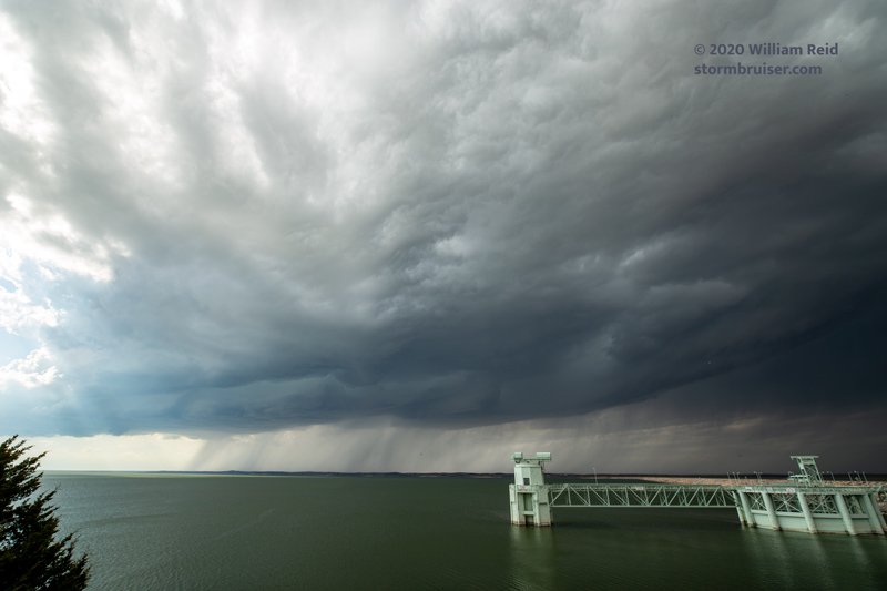
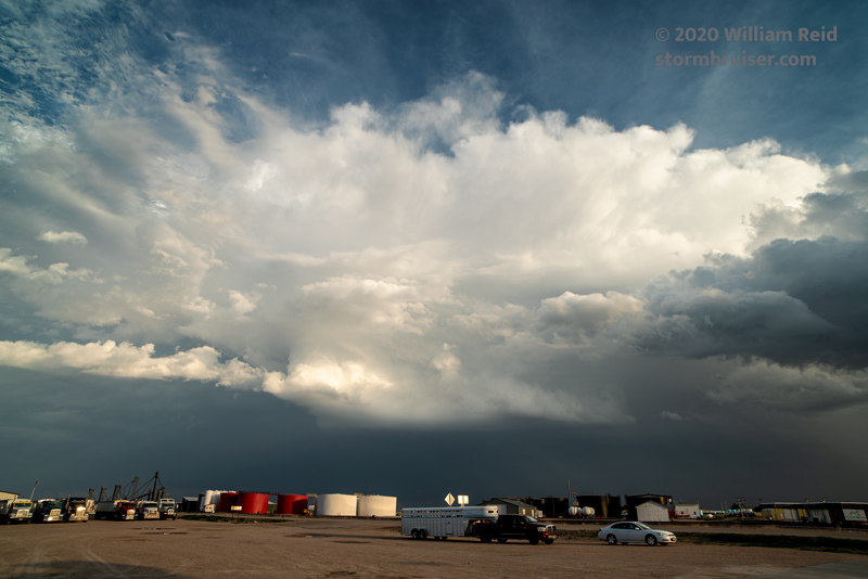
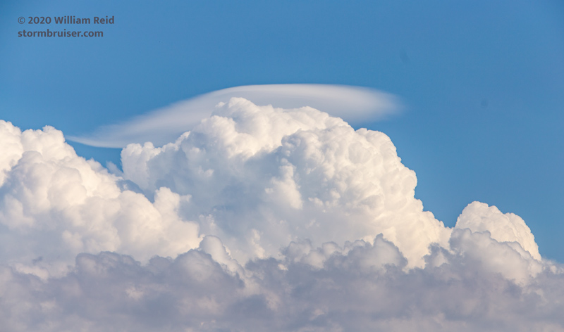
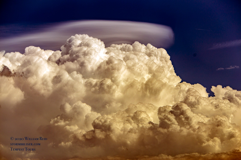
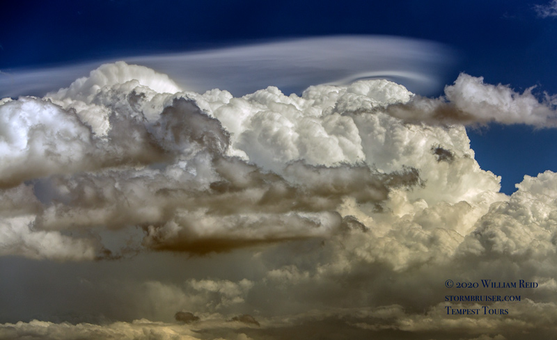
A mediocre supercell with a high base developed near Lewellen, Nebraska, near the west end of Lake McConaughy.  This looked decent for an hour or so before sputtering (above).  We managed some pretty shots at the dam, north of Ogallala (below), and then attached ourselves to some relatively ho-hum activity near Grant, NE, where pileus clouds were photographed.

Additional and even better supercell activity appeared likely during the mid-late evening hours in northeastern Colorado.  But, with a tornado threat around northeastern Oklahoma on the next day, I opted to head to Wakeeny for the night to keep the next-day drive reasonable.


Filed Under: 2020, Cumulonimbus, Landscapes, Supercells, Unusual Clouds

Leave a Reply

You must be logged in to post a comment.

Search

May 2020
S M T W T F S
 12
3456789
10111213141516
17181920212223
24252627282930
31  
« Mar   Jun »

Categories

Archives

Copyright © 2025 stormbruiser.com · Log in