
Start: Wakeeney, KS
Lunch: Coffeyville, KS
End: Locust Grove, OK
575 miles
SPC Mesoscale Discussion 531 SPC Mesoscale Discussion 534
SPC Mesoscale Discussion 536 SPC Mesoscale Discussion 537
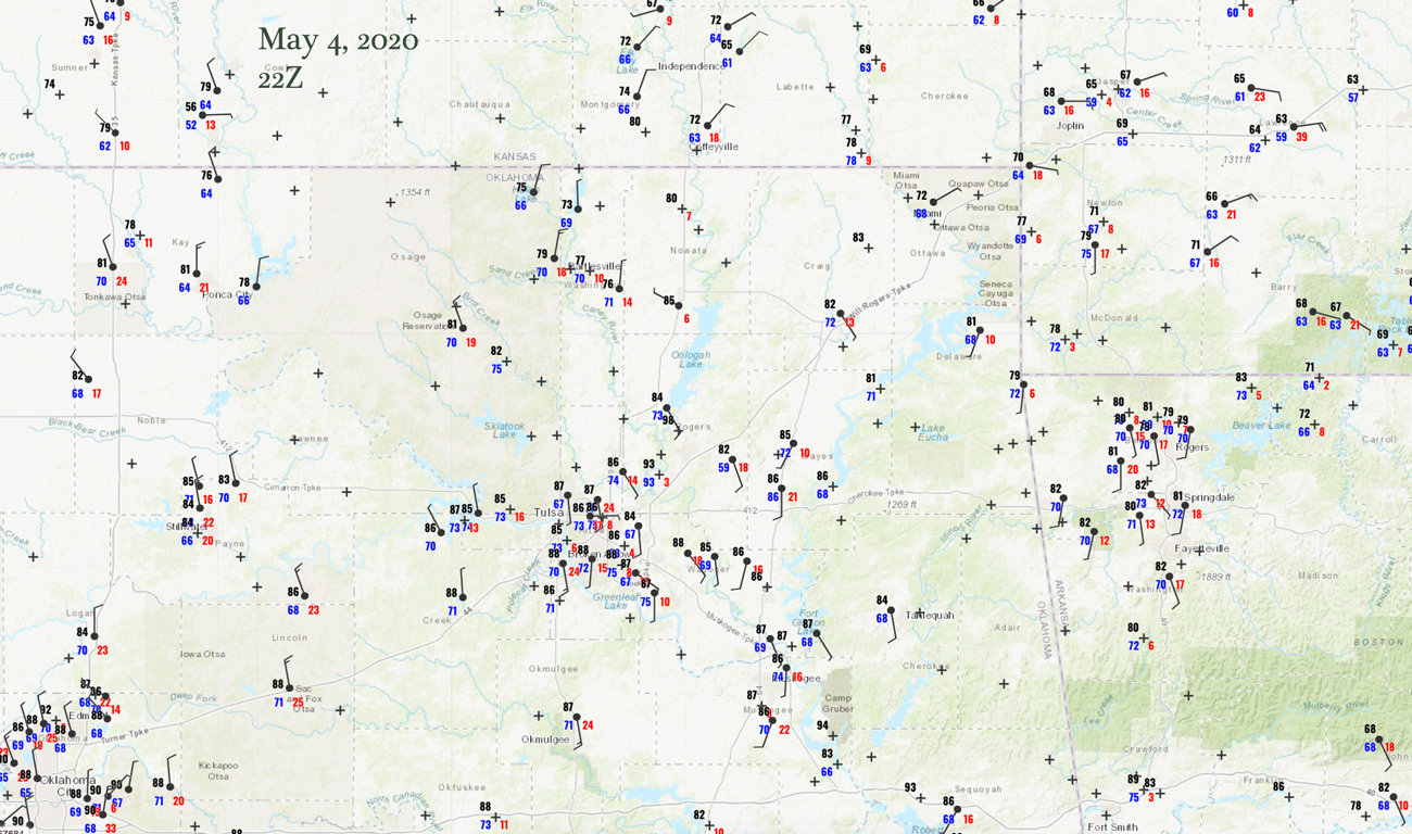
22Z Surface Map
The Storm Prediction Center pushed our hopes up a bit today. Inside of an enhanced slight risk area they painted a 10-percent hatched risk of tornadoes. This area was centered near the Oklahoma/Missouri/Arkansas triple-point, and was along a frontal boundary. The meteorological triple-point was forecast to be over northeastern OK by late afternoon, so we wanted to be just east of that feature by mid-afternoon. “Strong tornadoes” were possible, but in the 20Z SPC update, the first sentence included the words “surging cold front.” That is usually not a good omen. With dew points in the low 70s and plenty of instability and “ample” low-level shear, a tornado watch was issued.
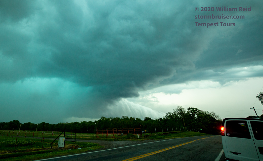
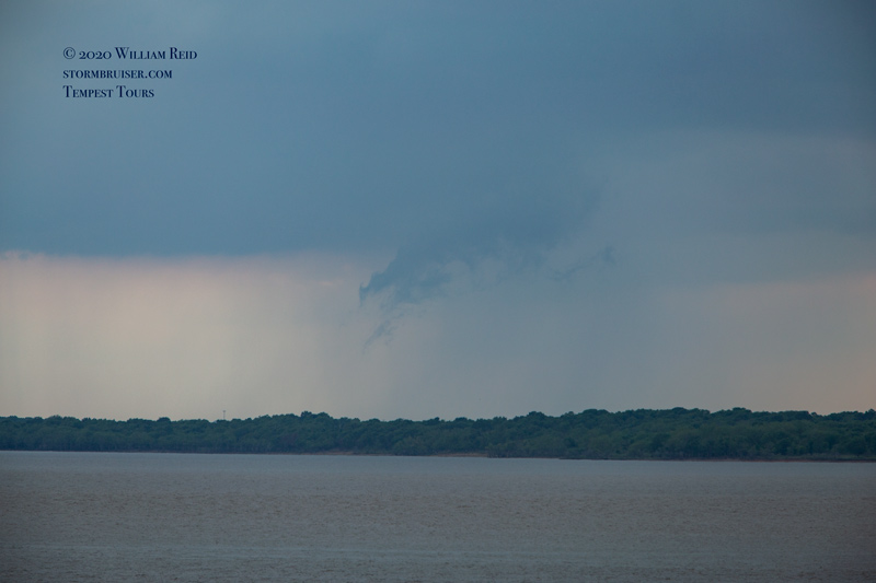
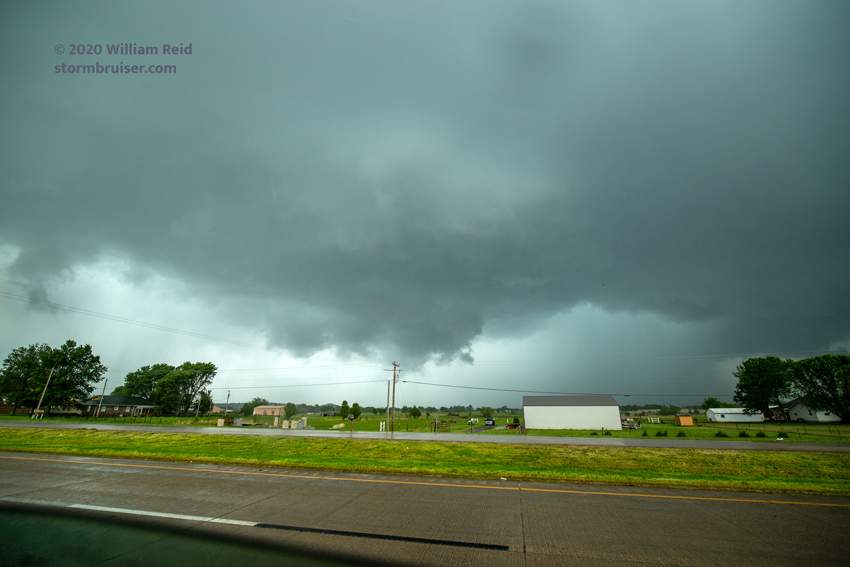
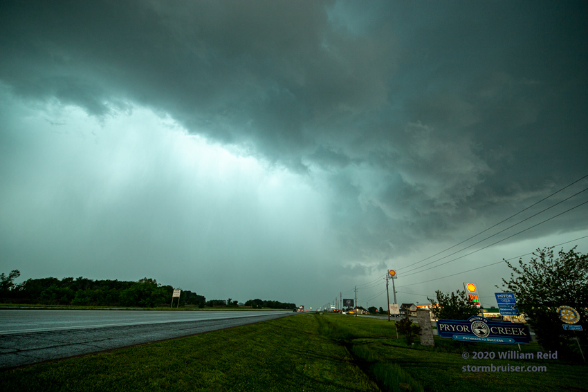
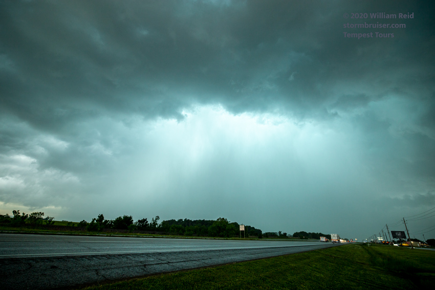
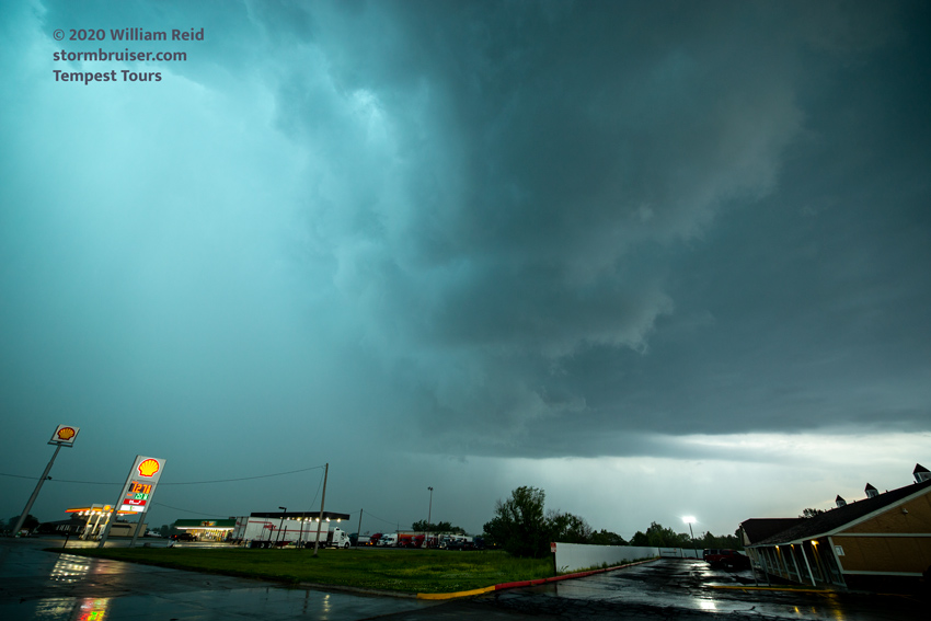
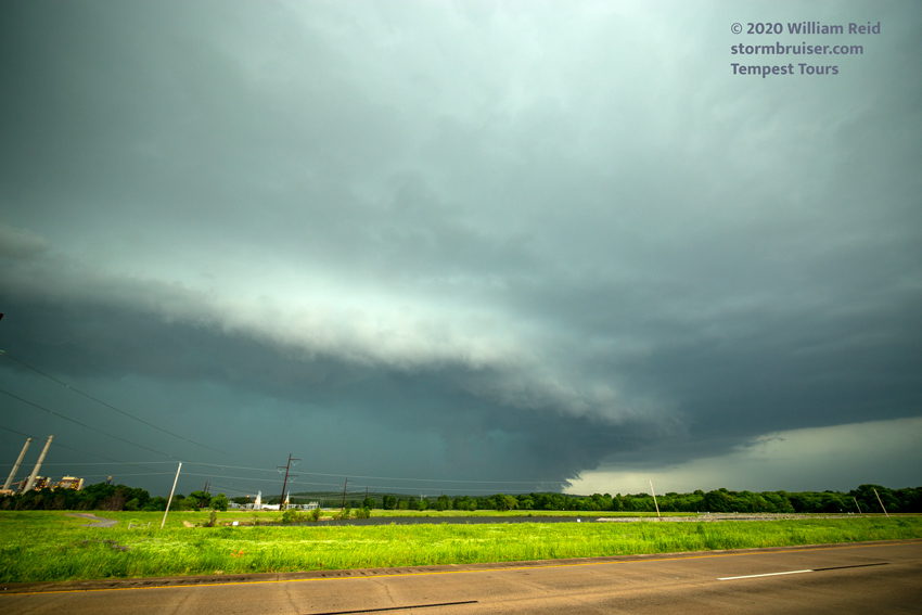
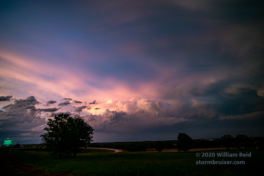
We were in good shape near Nowata, OK, as storm towers developed to our west and southwest around 6 p.m. The main problem at this time was figuring out how to manage the chase strategy around large Oologah Lake. I went down the east side, and we wound up on a HP supercell near Claremore. We stayed along the south side of this HP storm to the Locust Grove area. There was an interesting inflow feature (a beavers tail?) for a bit, and there was quite a bit of CG lightning. But the storm was very wet and it was non-tornadic, apparently. The storms in this area today started out rather high-based, and something was missing as low-level organization was weak for the most part.
The chase day was a dud tornado-wise, but it was nice to see a severe storm! A supercell with very large hail struck Cleveland County, east of Norman, which we did not observe.
text
Leave a Reply
You must be logged in to post a comment.