
Start: Lubbock
Lunch: Levelland/Savannah’s Mexican
End: Canyon, TX
410 miles
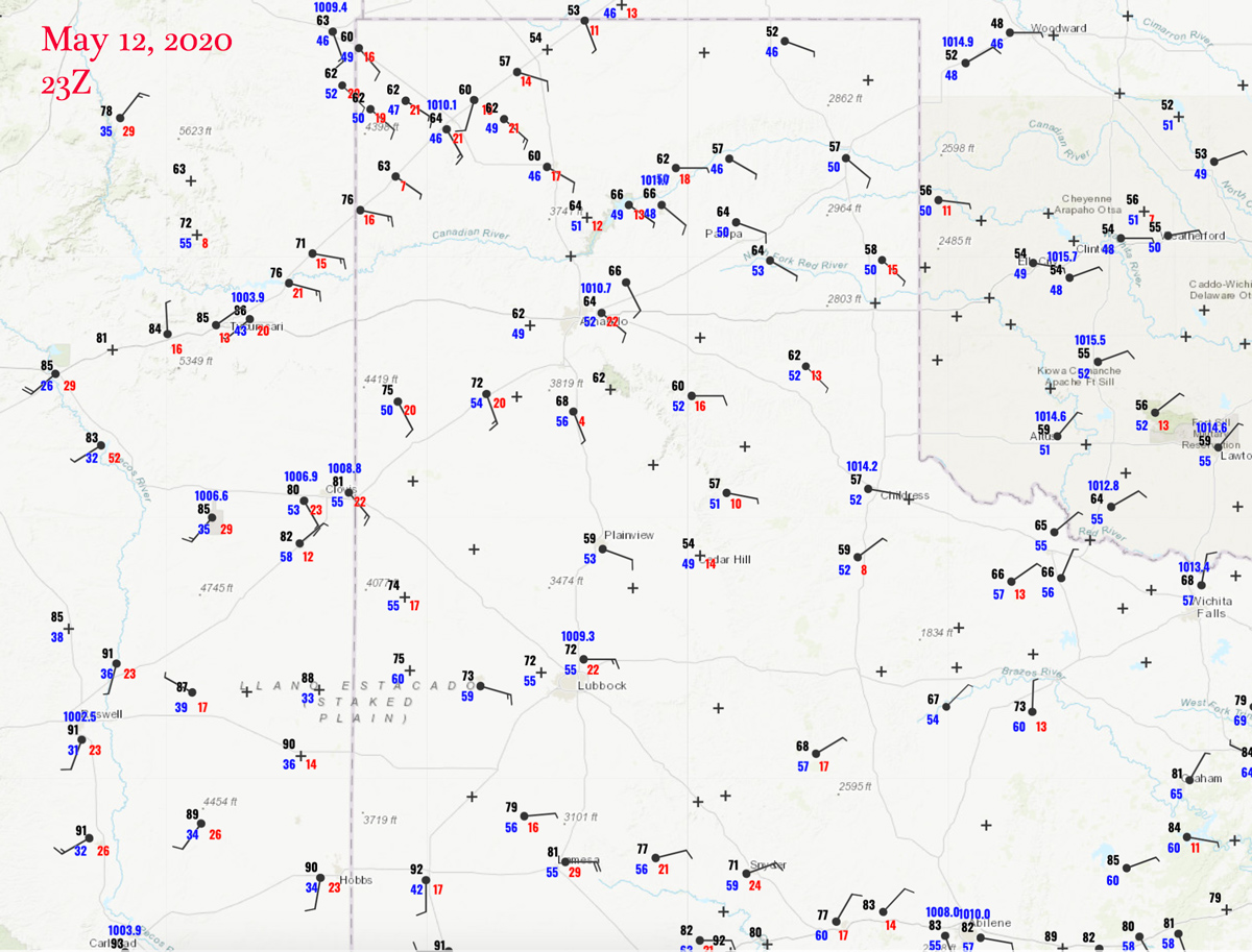
Surface Map 23Z
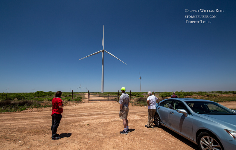
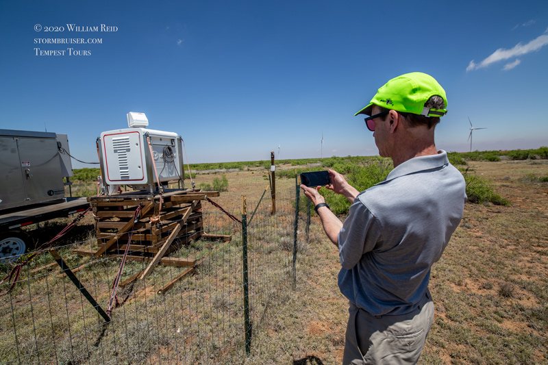
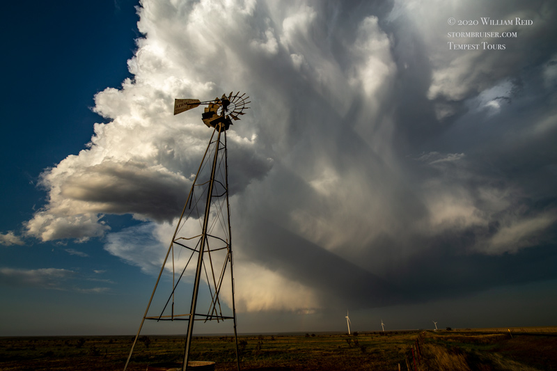
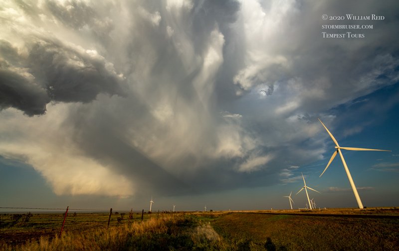
Today’s chase was looking rather low-end, with just a marginal risk near the NM/TX border west of Lubbock again. An MCV was over central Texas and a couple of tornadoes occurred during the morning in front of that feature, and out west we were left beneath a subsiding airmass and sub-par moisture. An old frontal boundary, good wind shear, and some instability drew us towards Plains, Texas (following a little tour of Bob’s wind farm southwest of Levelland midday).
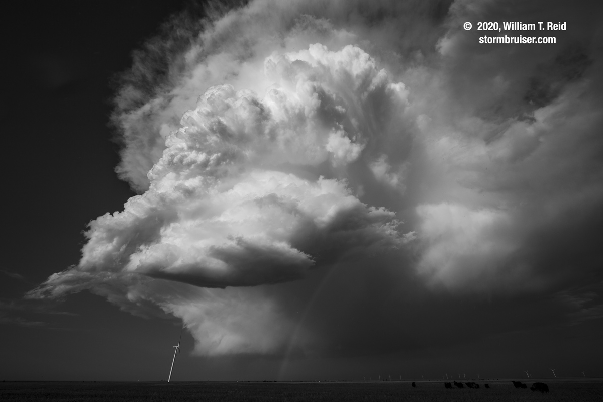
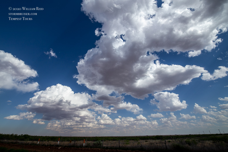
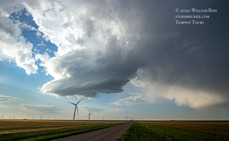
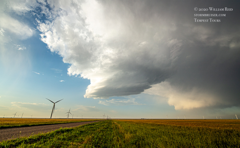
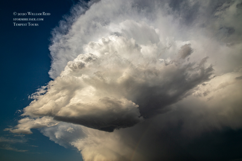
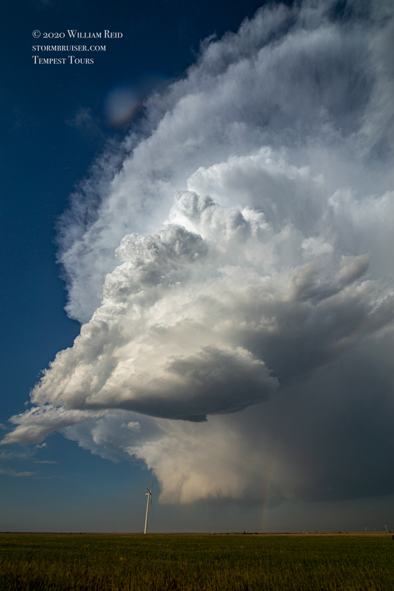
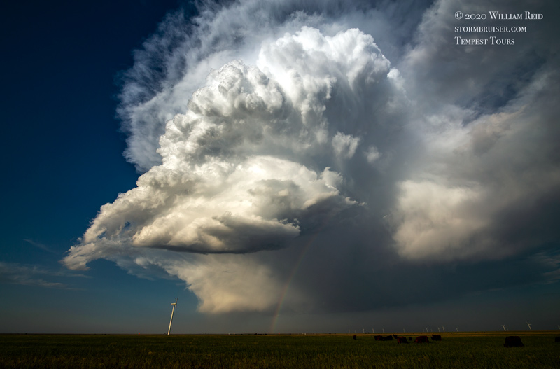
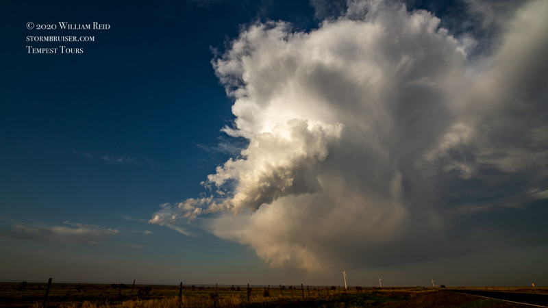
Check out the surface map for 6 p.m. CDT above. Surface temperatures were still in the 50s over the northern TX PH and western OK. Yuck. A lobe of near-60 dews SW of LBB near the stalled boundary was looking pretty good towards late afternoon. Some cumulus clouds and dust devils or weak landspouts held our attention near Plains. But, the updrafts along the boundary here failed to get strong. We finally had to give up on these in order to salvage something today. We scooted north towards a healthier updraft on the dry line, north of Clovis. We caught up to it near Belleview, NM, as it started to diminish in intensity. This was a pretty LP (low precipitation supercell) with a high base, somewhat interesting low-level structure and no lightning.
It was better than a sharp stick in the eye, I suppose. The cell was the only chase-worthy event on the High Plains today I figure.
Leave a Reply
You must be logged in to post a comment.