
Start: Wichita Falls, TX
Lunch: Childress/Walmart
End: Raton
574 miles
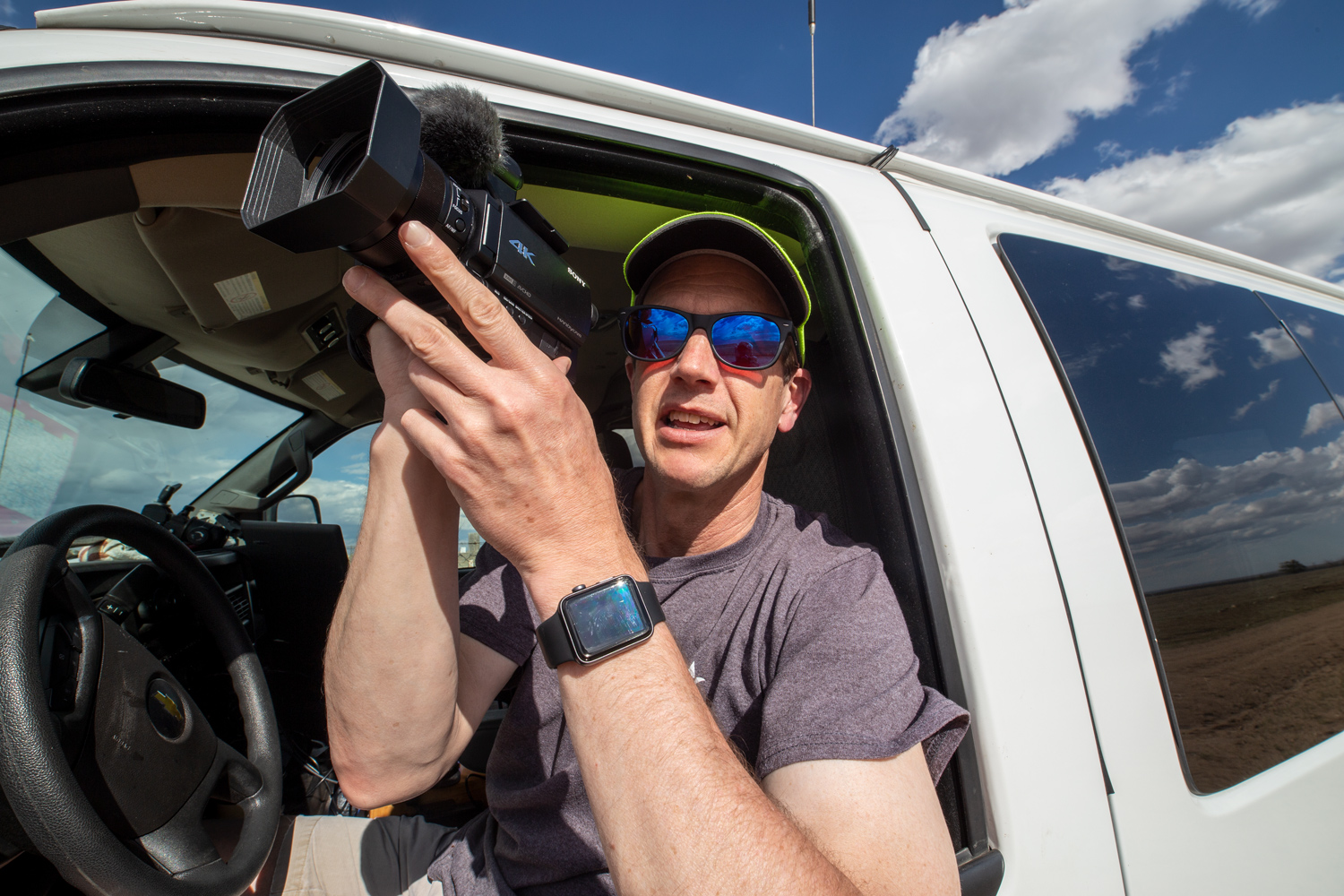
Video and time-lapse by TT guide Bob Conzemius
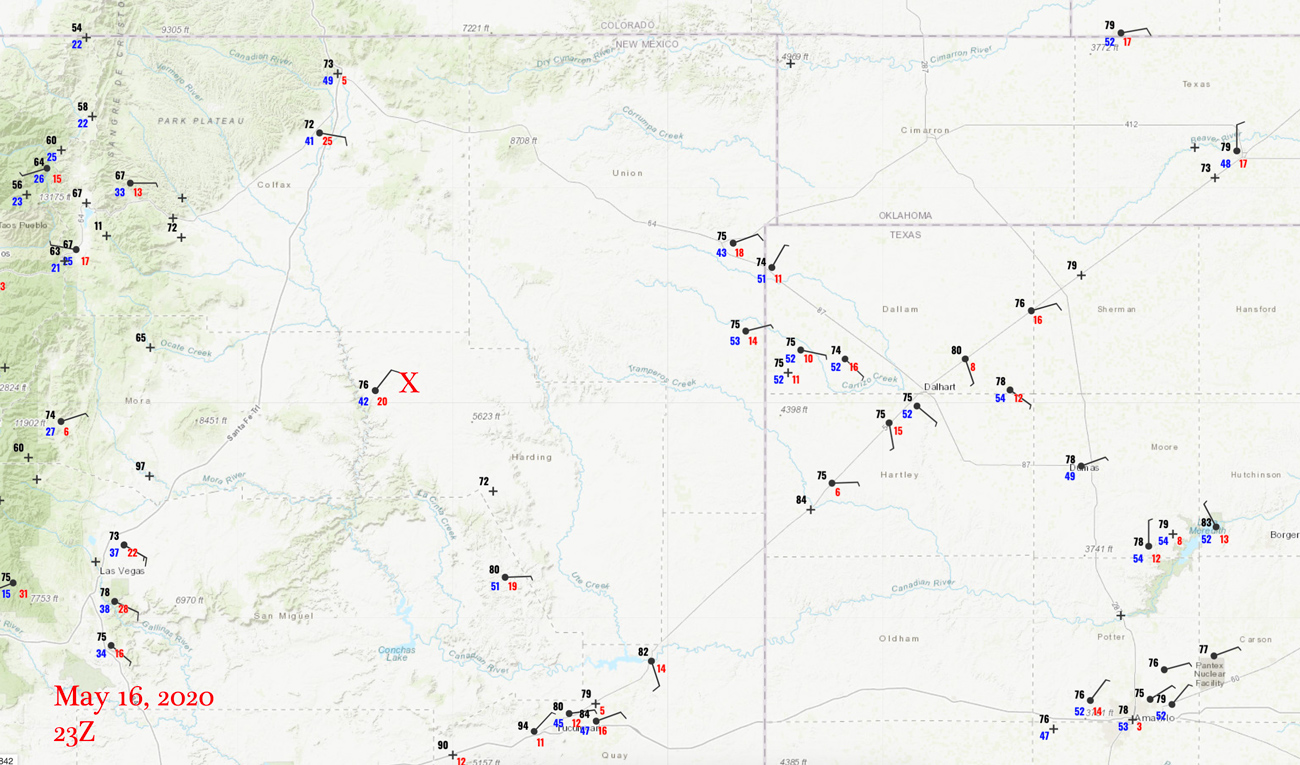
23Z Surface Map
We began the day in Wichita Falls, and successfully ignored the tornado risk (5 percent) in the forests in and around extreme northeast Texas. Numerous tornadoes were reported near the TX/AR border area during the afternoon, so perhaps it would have been worthwhile to give that area a shot. But, for me, heading into the trees is about as appealing as sweeping the floor and dusting the house. Yuck.
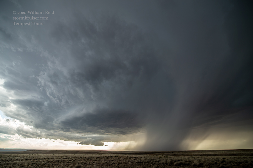
We headed west towards eastern New Mexico and its marginal risk. Adequate instability, shear, and daytime sunshine here provided a chance for a pretty high-based supercell. Dew points on east winds were close to 50F, which isn’t enough for a good tornado chance, but is good for severe weather. We reached Abbott (west of Gladstone) and had to wait a little bit for development. The first storm or two went up a bit NW and N of Abbott, and soon we had an organized and rotating storm diving south on the west side of the road from Abbott to Roy! The images below are in mostly chronological order on the chase from Abbott to Roy.
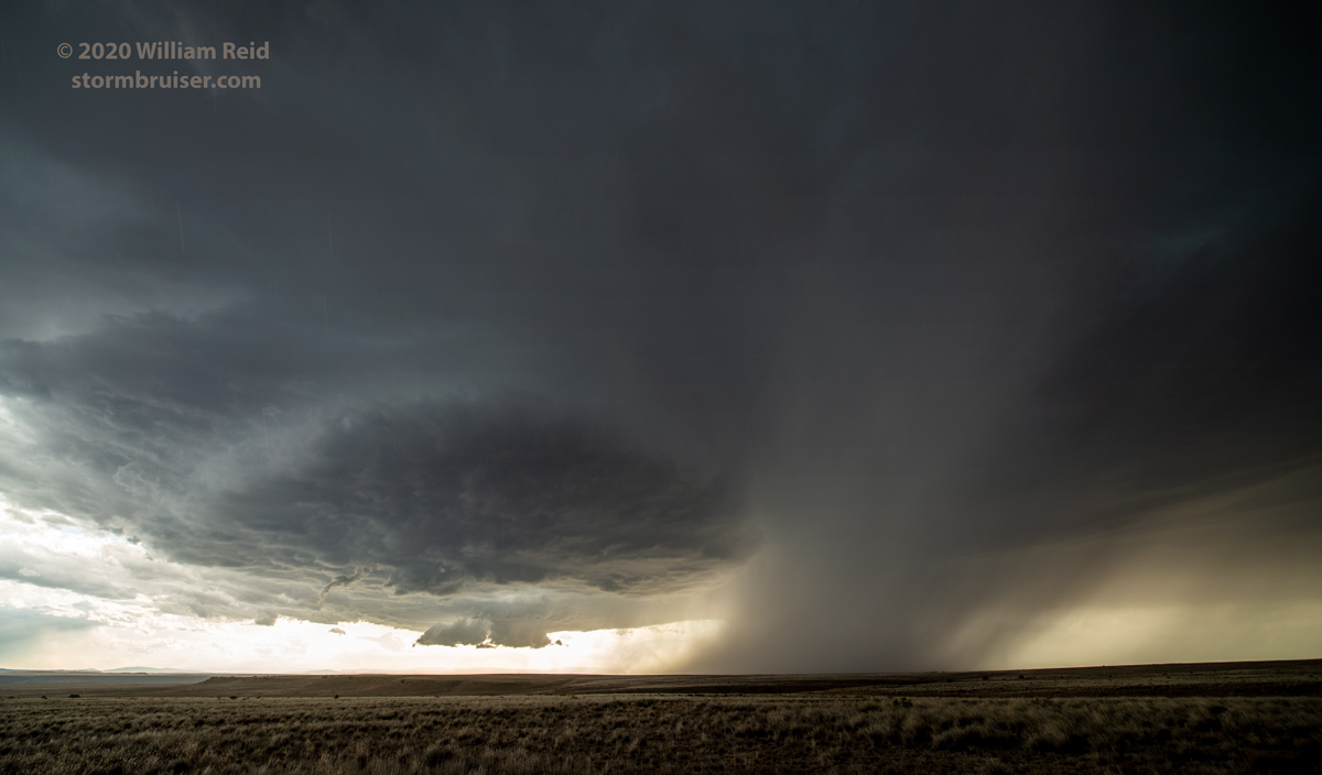
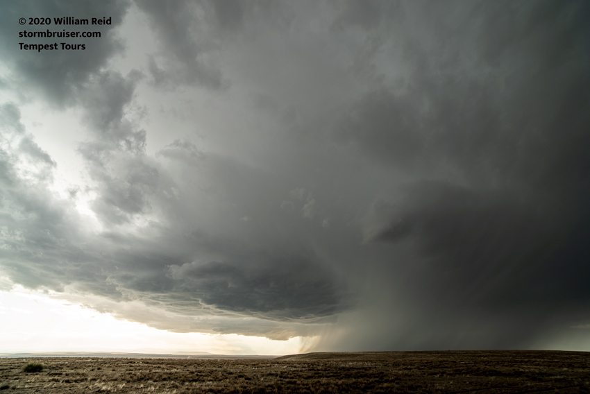
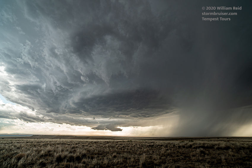
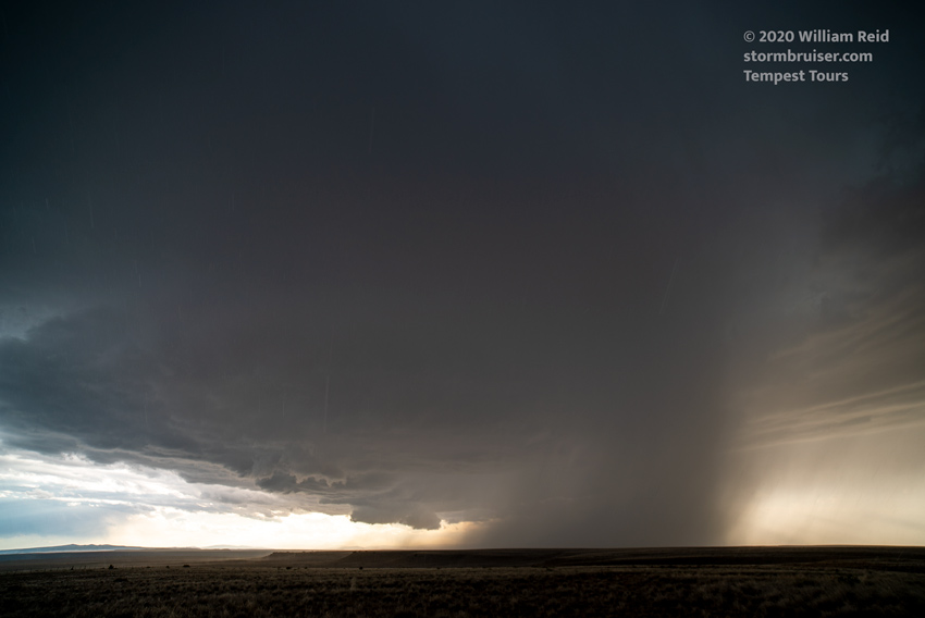
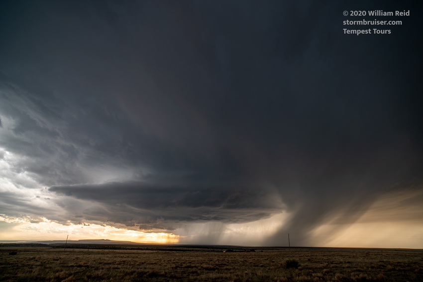
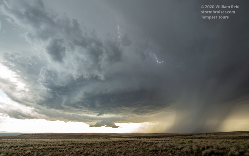
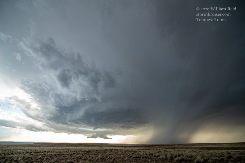
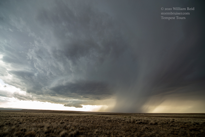
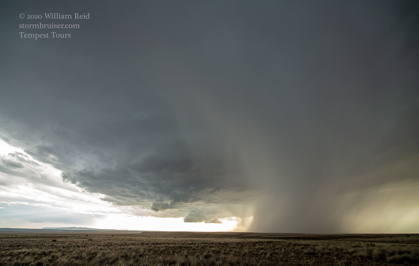
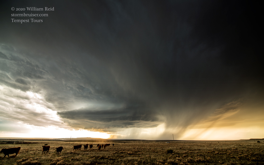
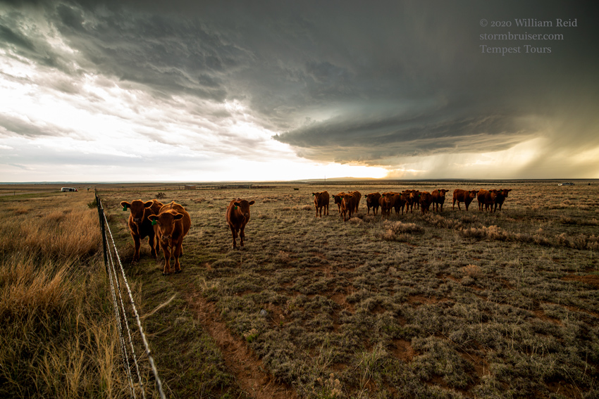
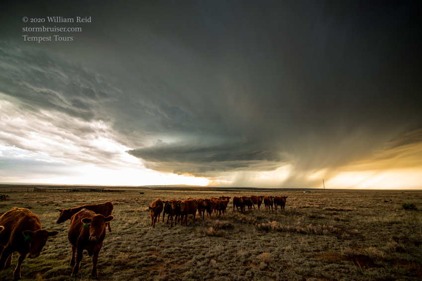
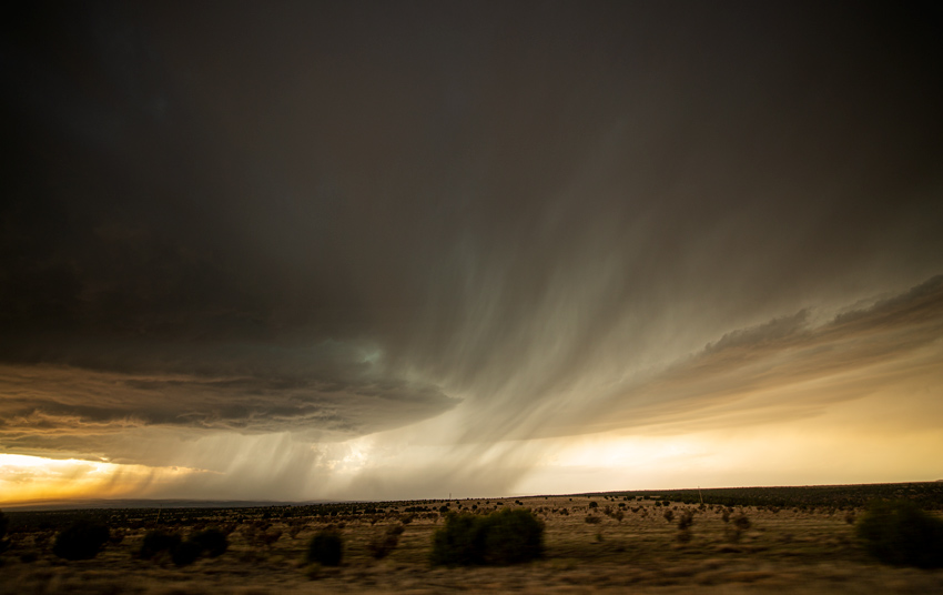
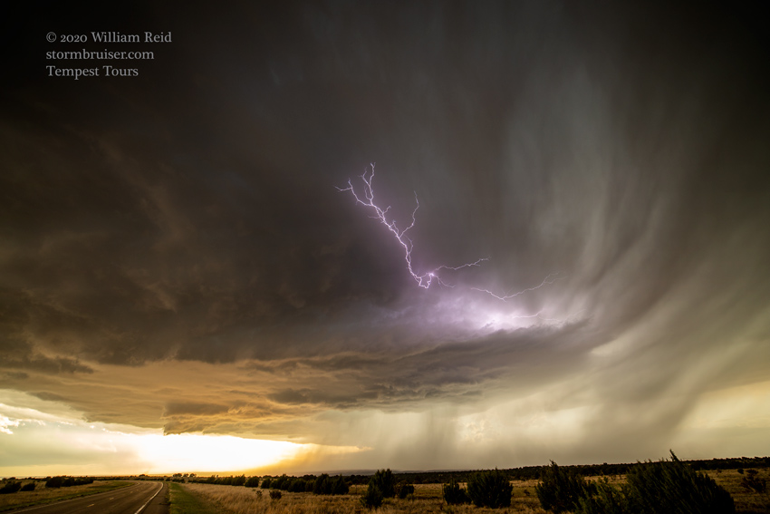
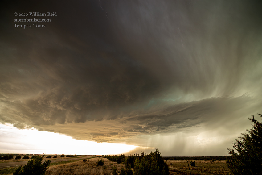
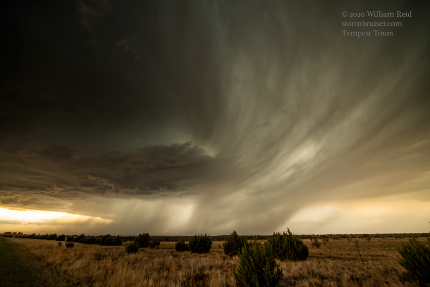
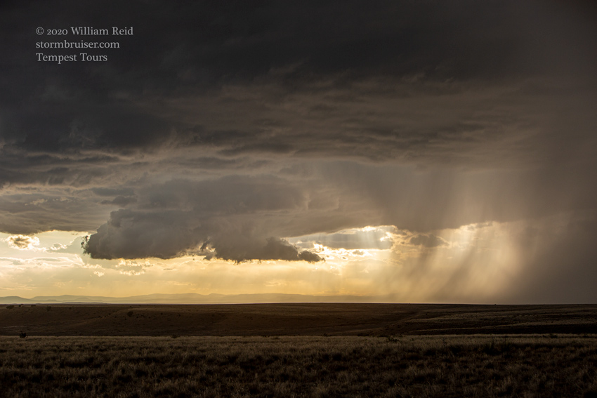
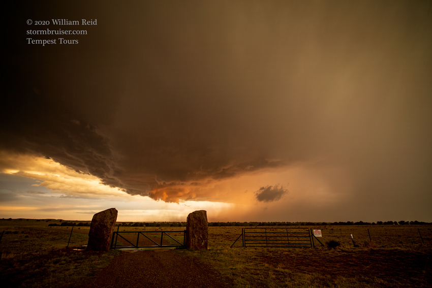
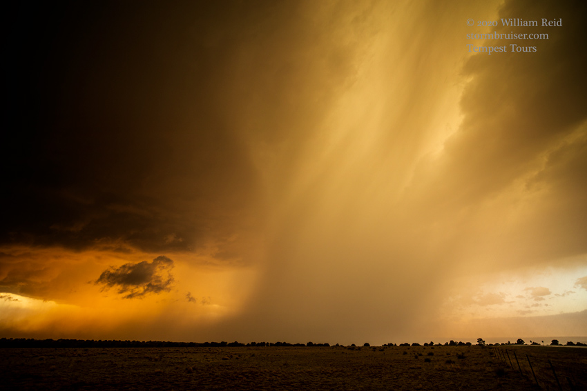
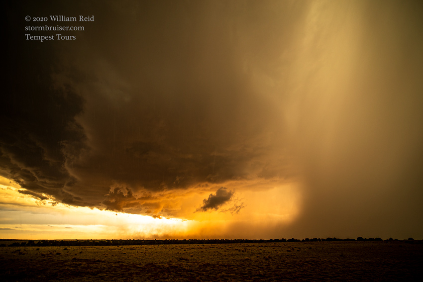
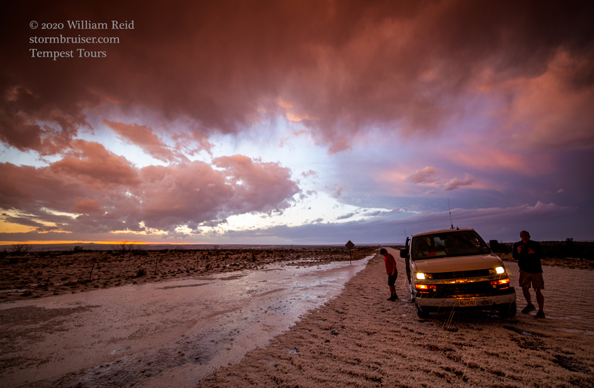
Near a little spot called “Mills,” the supercell showed really nice structure, a little wall cloud, and a bunch of CGs! These views are generally towards the NW and W. At Roy the southbound road ended, and I had to choose between west or southeast. I suppose that staying put around Roy was an option, also! The southeast option looked to take us away from the storm, so we scooted to the west (on Wagon Mound Hwy) and got really close to the storm core. It was about sunset, so I figured that being on the west side of the storm might be more photogenic. We skirted the core a little and stopped for these shots:
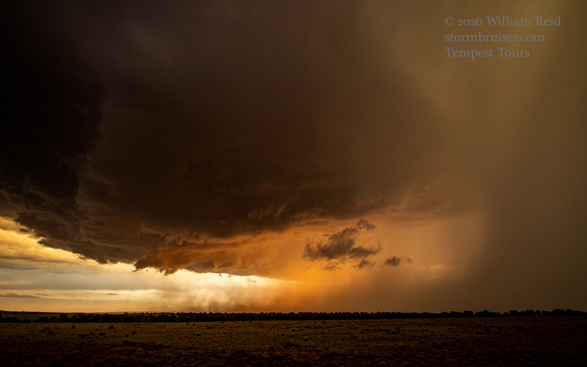
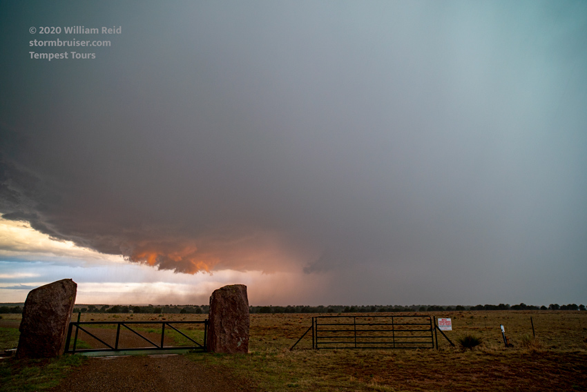
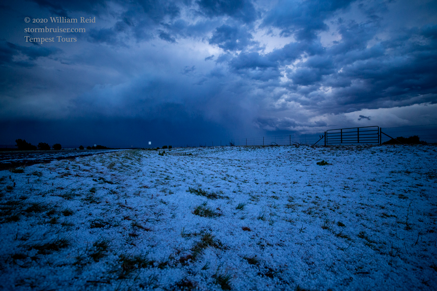
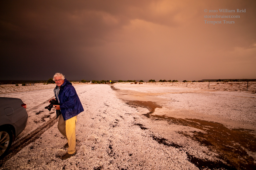
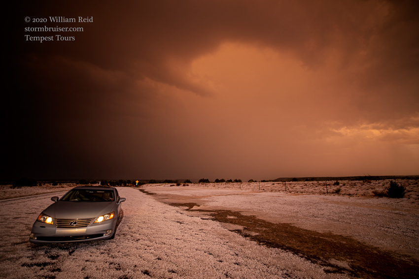
It looked like the supercell was struggling some. We continued west into a canyon of the Canadian River, and found ourselves navigating up steep hail-covered slopes! The van made it up to the top on the west side, and we stopped in the winter-wonderland landscape as the storm drifted off to the south. Scott, our media tag-along from Marco Island, Florida, had a fun time in the icy conditions!

Leave a Reply
You must be logged in to post a comment.