Start: Sterling, CO
Lunch: Tribune, KS/Karen’s Kitchen
End: Woodward, OK
611 miles
SPC Mesoscale Discussion 657 SPC Mesoscale Discussion 659
SPC Mesoscale Discussion 661 SPC Mesoscale Discussion 663
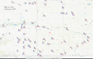
22Z Surface Map
Video and supercell time-lapse by Bob Conzemius (via YouTube)
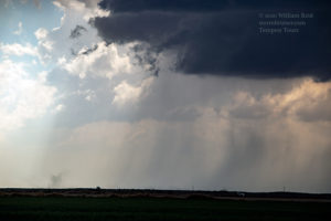
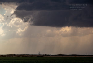
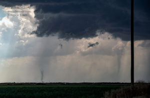
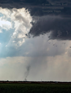
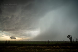
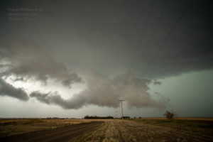
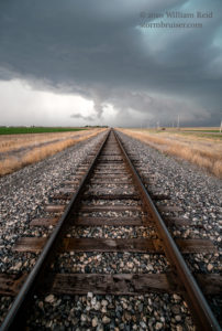
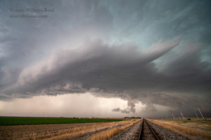
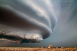
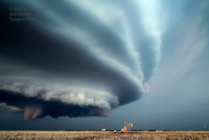
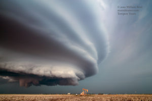
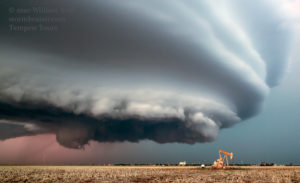
May 22 was a down day, in-between tours, but Bob took a couple of guests to a nice storm between Vernon and Wichita Falls. This is Bob’s account.
This was quite the chase day! A FAST summary: We were in great position on three supercells in SE CO and SW KS. The KS storms had superlative structure. The CO storm provided a weak landspout or two. The KS storms teased us with a maybe tornado and an almost tornado.
And the Long-Winded Summary:
The forecast target area was not difficult to determine. We needed to get south from Sterling, Colorado, and into southwest Kansas. SPC showed a slight risk and a 5 percent tornado risk centered around Liberal. A surface low was near Springfield, CO, and decent upslope ESE to E winds were blowing through SW KS with dews close to 60F. We stopped for lunch at Tribune, and around noon MDT, a weak landspout was observed nine miles northeast of Tribune. We were observing our meals inside, instead.
I HATE early convection. We found out about the landspout well after it had dissipated, and we went a little bit north of town to make sure that it didn’t happen again. This stuff that was going up on a convergence line or weak warm front nearby was not strong and was not impressive. My focus shifted to the area a little farther to the south, where the sunshine was good, and the axis of moisture and theta-e air appeared to be maximized.
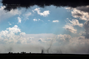
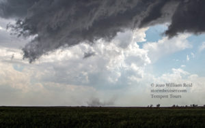
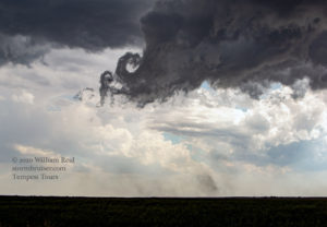
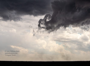
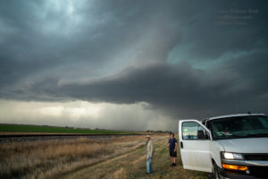
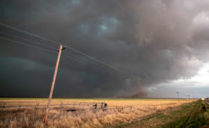
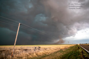
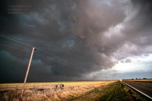
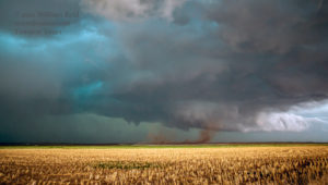
Well, the early convection was not too much of a headache. The prime area for severe weather remained undisturbed enough through mid-afternoon. The first big storm of the day was in Colorado, SW of Holly. This was pretty close to the triple point, and quite stout easterly winds were streaming towards it. We were near Syracuse, watching some other mediocre cells, if I recall correctly. I elected to blast west to the Holly storm, though it was farther west than preferred and anticipated. We stopped several miles SSW of Holly, and a decent, high-based rotating storm was not too far to our west. Shortly after stopping, a weak dusty spin-up or two (or three) developed beneath the mostly rain-free base of a flanking line (or something!) to our southwest. These were intriguing, but they were not strong enough to warrant a closer inspection. I suppose that these could be called landspouts, and they wound up on the SPC reports page. The images below show first the supercell and “action area” to the west, and then the flurry of spin-ups to the southwest. A weird couple of curly-Qs twirled at the front of the updraft base, too.
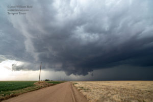
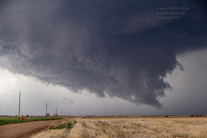
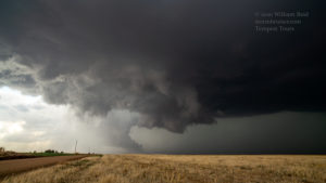
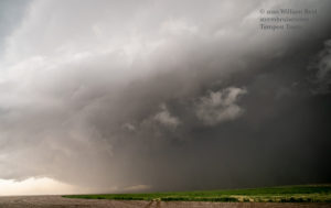
While those weak landspouts were distracting us, the main show was wrapping up down the road to the west. Check out the pics below. These are a mix of wide-angle and zoom shots of the wall cloud area. The storm had that “look” of one that often produces a decent tornado, but this one did not.
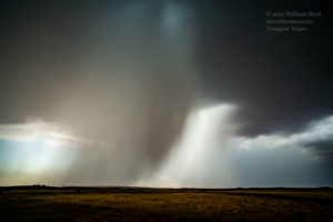
Our nice low-level structure and wall cloud area was moving somewhat slowly to the northeast, and it was falling apart. We scooted quickly to Holly and Highway 400 before any big hail commenced, though it may have been a close call. Baseball-sized hail fell one mile west of Holly at 2218Z. At about the same time, additional tornadoes (supposedly) occurred two miles south of Holly. We did not see those. The first image below was taken not long after turning to the east on U.S. 400/U.S. 50 from Holly, and looking to the S or SSW. The storm base is high, the rain blob is huge, and the storm is starting to spill cool outflow. The tornado chances with this one are slim-to-none at this point. But, the storm was really the only game in town still. We stayed just east of it on the way to Syracuse. It seems that hundreds of other chasers had the same idea, as traffic was a little backed up between the CO/KS line and Syracuse.
At Syracuse, we had a rather junky outflow-ish storm to the west, and newer development to the south or SSW. It was not especially apparent as to where we should be, but it seemed that the newer cell or cells on the southern end would be favored. Heading south towards Johnson City would have been the obvious move to get us close to the tail-end activity. But, the next paved road to the east was not until Johnson City, 25 miles distant. We probably would have been mired in rain and hail and then we would have been out of position. No thanks. I directed Bob to continue east on 400/50.
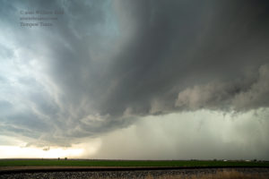
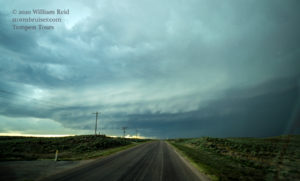
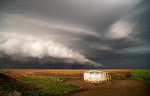
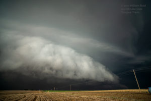
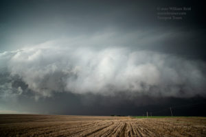
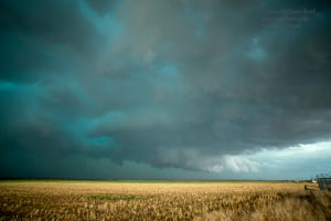
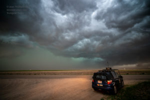
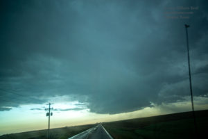
There was an interesting but small rotating updraft just to our north. It was not worth stopping for. We had to get east to Lakin and our next paved south option. During this stretch, a new little storm had developed to our south a ways — maybe by 30 miles — and it was moving rather quickly to the north. It looked pathetic on radar, and with that movement to the north, it seemed to be more of a nuisance to me than anything else. It was moving in front of the more intense cell (or cells) to our southwest. Another high-based storm blob was not too far south of Lakin when we turned south on 25 (see the images below). We skirted the blob of precipitation, and were able to view a storm base to the southwest that must have been associated with that seemingly unimpressive northward-moving storm.
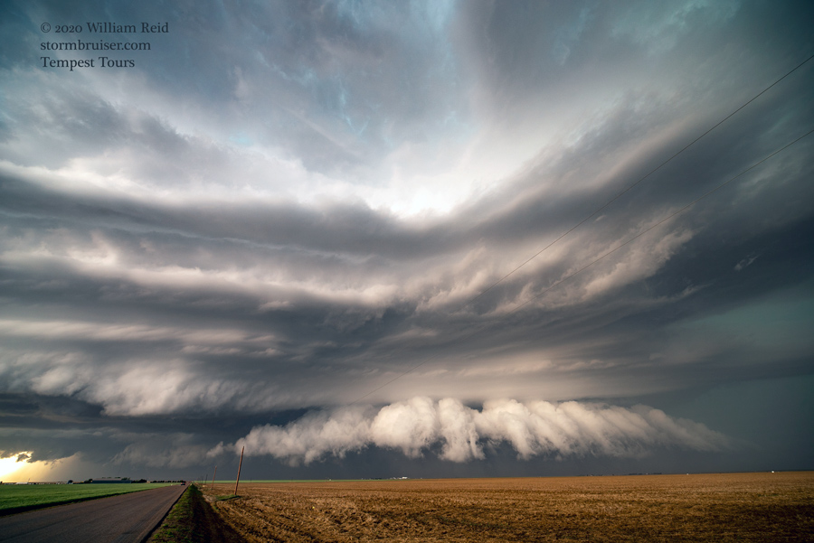
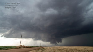
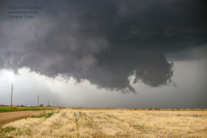
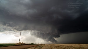
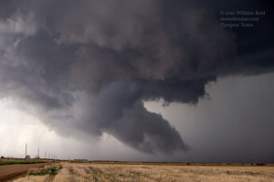
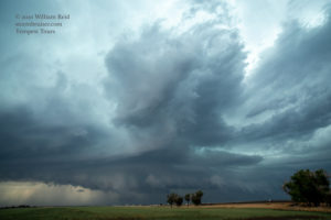
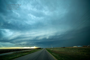
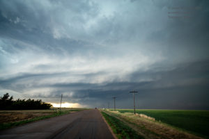
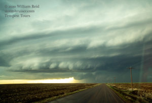
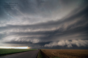
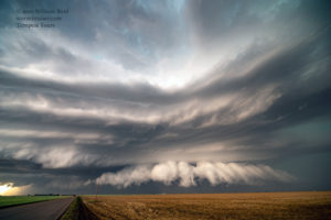
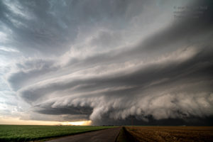
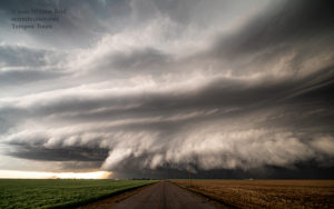
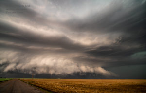
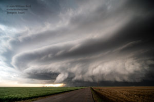
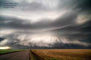
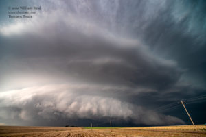
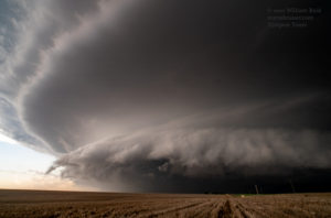
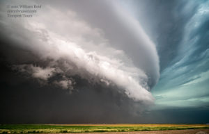
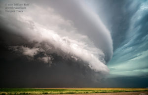
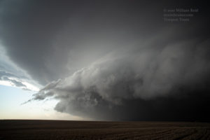
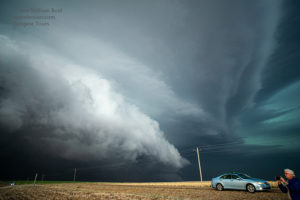
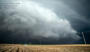
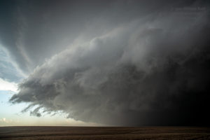
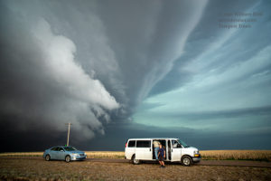
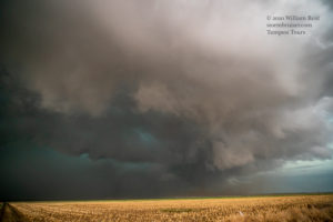
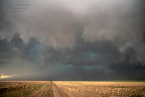
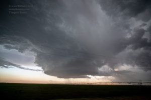
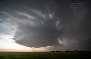
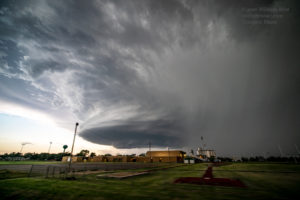
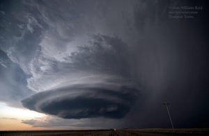
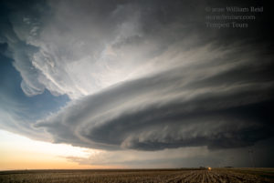
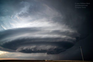
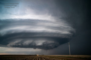
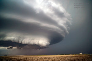
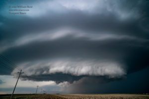
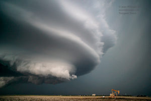
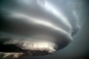
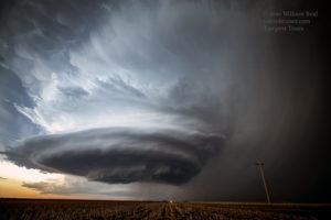
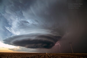
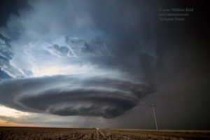
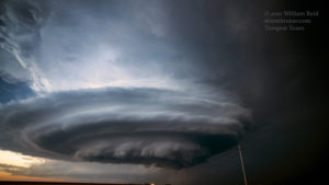
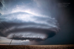
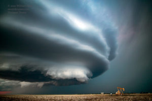
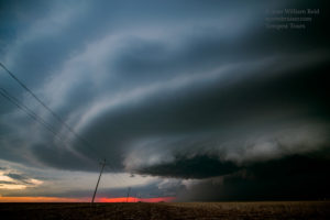
Well, golly gee, this base didn’t look half bad! As we approached via 25, first northeast of it and then east of it, it was apparent that the thing was morphing into a majestic supercell. The storm’s northward movement ended abruptly, presumably along an E-W oriented boundary or front. The storm had hit a sweet spot for sure, and it was now spinning hard and moving slowly to the east! We found a paved road to the west at the perfect spot (I think it was County Road 5W, eight miles north of Ulysses). The first few images below are during the approach from the east, looking west. Some of these are through the windshield, so the color is not consistent. We stopped after driving west about 5 miles. The storm was just a few miles south of the 4-corners point of Hamilton, Stanton, Kearny and Grant counties. The storm structure here for the next several minutes was almost off the charts! A near ground-scraping lowering to our WNW was sagging a little towards the south. We were actually a little too close for me to get the entire structure with the 15mm lens.
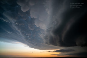
Though the storm structure was very large and impressive, it did not appear to be sporting an area that might be tornadic…at least YET. The base was so low, though. It would not have been surprising to learn that something strong was in progress in the black abyss behind that toothy leading edge. The storm edged towards us at maybe 20-25 mph, and we were forced back to the east to keep the structure in view. The images below were taken along Grant County Road 5W, within a few miles of 25.
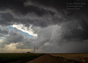
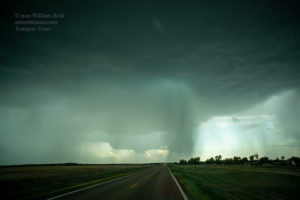
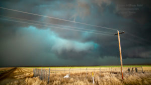
We stopped again soon after turning south on 25 (still about eight miles north of Ulysses). The front end of the storm structure had moved overhead, and we had to be wary of the mean and green precipitation core just to the west. But, not too far to the WNW or NW, an action area with a bit of an RFD cut looked to be forming. A roundish wall cloud feature looked about ready to become tornadic. But, no tornado eventuated! See the second image below. I think that we scooted south a mile or so and stopped again. The wind here was somewhat light and from the west, but then suddenly it picked up and and blew strongly from the SE, right into a very suspicious area to our northwest. The strong wind did not last for long, and as it subsided, we could then hear that “jet engine” roar that is sometimes associated with nearby strong tornadoes. This “roar” was rather low in volume and it was emanating from the northwest, where it was very dark and where contrast was minimal. The images below, especially from the 5th image to the 12th image, are during this timeframe with that jet engine sound. The images were brightened and contrast was enhanced. It was not easy to see what might be happening with our naked eyes! A plume of dust is getting kicked up strongly. Was it just RFD dust? Again, despite the telltale sound that we heard, a definite tornado was not observed. The SPC storm reports show considerable wind damage to feedlot structures eight miles north of Ulysses at 0045Z.
From our spot here on State Route 25, it seemed prudent to continue south to get out of the way. First, we spent a little time in some dusty outflow/possible RFD winds as the storm kind of collapsed just to our north. On the way south to Ulysses, the chase day seemed to be winding down, as that awesome “Ulysses” storm to our north was outflowing a lot and nothing was looking too obvious to go after. We may have taken a quick pit stop at Ulysses before heading east again. Another one of those “north-moving” and unimpressive cells was now showing up to our SSE. Hmmm! We had one more storm to check out before dark! Road 190 (which angled off to the southeast) to Satanta worked out perfectly, though it took us close to the storm’s developing hail core. The images below were taken while getting into proper position on this “Satanta” supercell, first looking south, and then southwest, and WSW, and finally west.
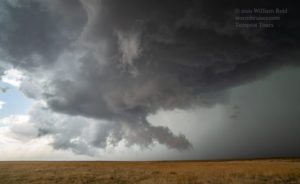
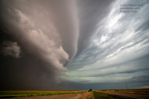
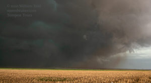
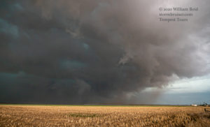
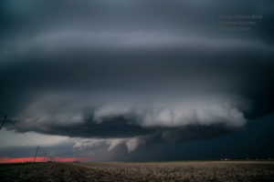
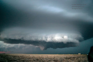
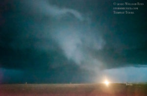
WOW again! The little cell stopped moving to the north, apparently hit another boundary sweet spot, and intensified rapidly. We were just a mile or two south of Satanta, and the sculpted updraft base was just a few miles to our west. Perfect! This storm had more of the “mothership” spaceship look compared to the stacked-plates and very low-based Ulysses supercell. An RFD cut into the base strongly and a wall cloud and funnel developed as darkness fell and the storm moved over Satanta, just to our north. The last several images below show this almost-tornadic phase. Like the Ulysses storm, this Satanta storm looked very close to producing a tornado, but did not, at least as far as we could see.
The images above were with the 21mm lens, which was not quite wide enough for the entire storm structure. The final image was taken a couple of miles northeast of Satanta, looking north, well after sunset. I could not see any dust beneath the apparent funnel cloud.
Wider 15mm images during the same timeframe (with the storm first to the west and then the NNW) are below! The supercell continued to move rather slowly to the northeast. This was the last chase day for Tour 3, and we headed to Woodward for the night.

Leave a Reply
You must be logged in to post a comment.